0.0 miles away
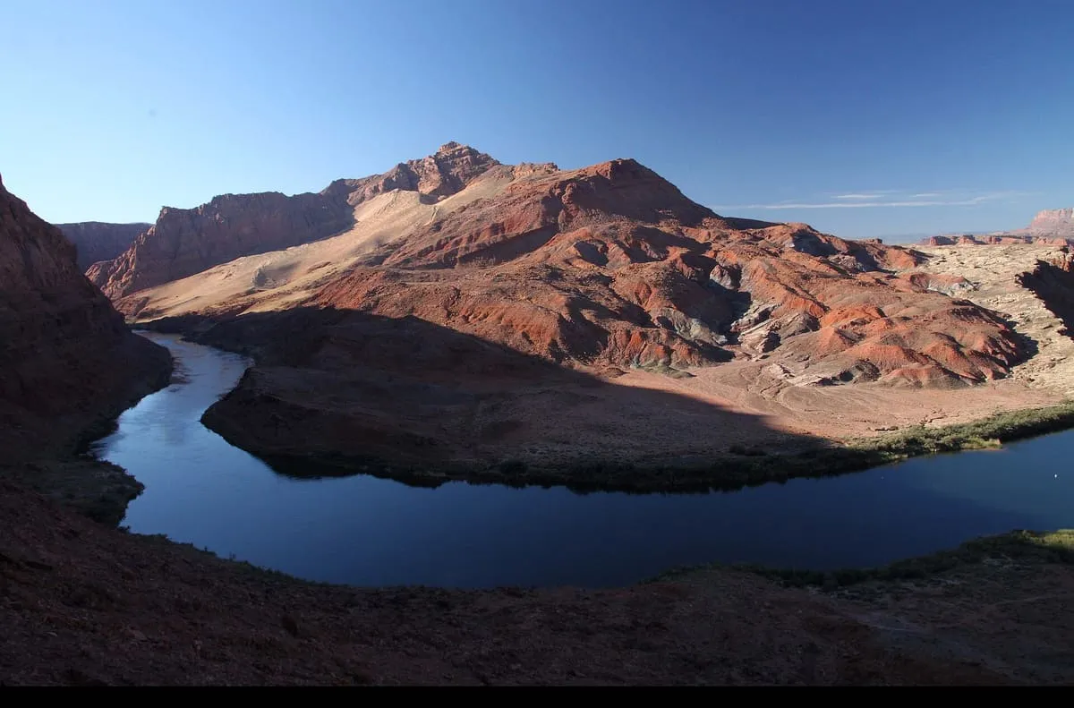
Lees Ferry
A Colorado River crossing in Coconino County, and the gauging point dividing the river's Upper and Lower Basins since the 1920s.
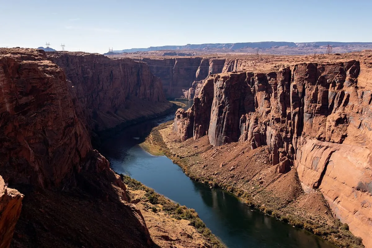
A canyon cut by 169.6 miles of the Colorado River, most of it submerged by Lake Powell after Glen Canyon Dam was built in 1963.
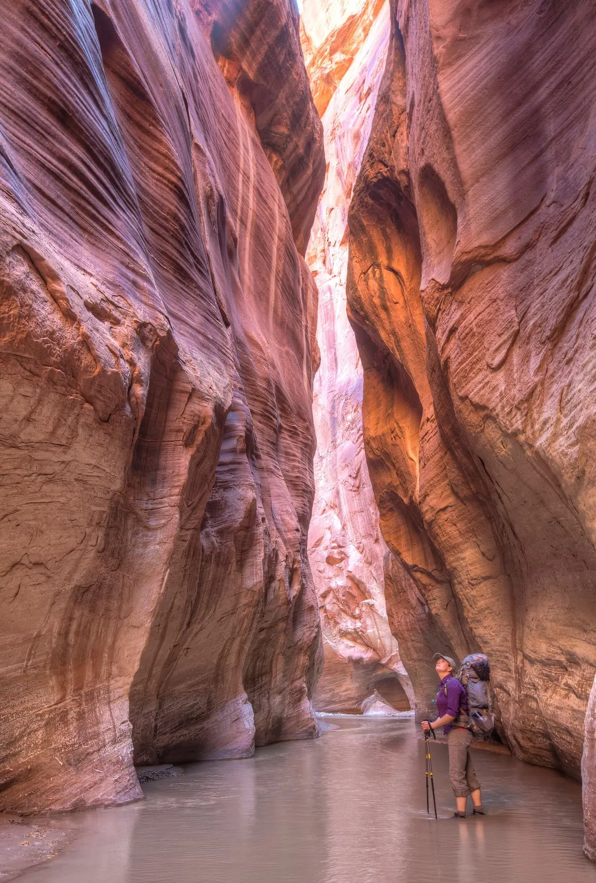
Glen Canyon is a natural canyon carved by a 169.6-mile length of the Colorado River, lying mostly in south-eastern and south-central Utah. It begins where Narrow Canyon ends, at the confluence of the Colorado and Dirty Devil rivers; a small part of its lower end extends into northern Arizona and terminates at Lee's Ferry, near the Vermilion Cliffs. Like the Grand Canyon farther downstream, it forms part of the system of canyons carved by the Colorado River and its tributaries. In 1963 the reservoir of Lake Powell was created by the construction of the Glen Canyon Dam, in the Arizona portion of the canyon near the then new town of Page, inundating much of Glen Canyon under water hundreds of feet deep. The dam remains a central issue for modern environmentalist movements, and from the late 1990s the Sierra Club and other organisations renewed the call to dismantle it and drain Lake Powell in lower Glen Canyon. Glen Canyon and Lake Powell are managed by the U.S. Department of the Interior within Glen Canyon National Recreation Area.
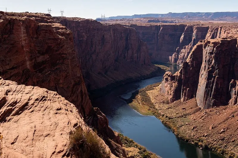
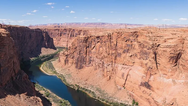
Glen Canyon is a canyon near Page, in Coconino County. It is one of the canyons in this database, and appears in the statewide ranking of Arizona attractions.
No official visitor count is published for Glen Canyon, so its score rests on public interest and tourism significance, and is capped below the level a measured attraction can reach. That is why the medium confidence above is not higher. The weighting is explained in full on the methodology page, and every axis is broken out under Facts and sources at the foot of this page.
Note on the data: No official visitor count is published for this attraction.
Record last verified 2026-08-12.
0.0 miles away
3.6 miles away
4.0 miles away