0.0 miles away
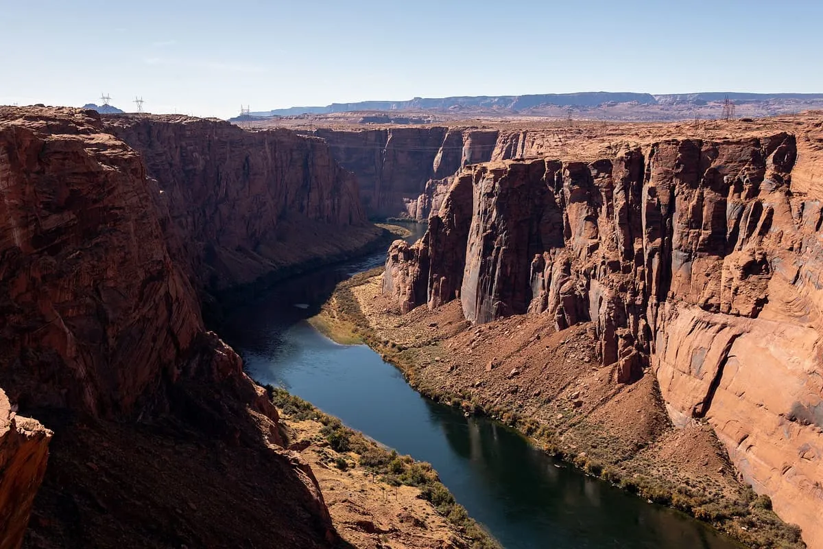
Glen Canyon
A canyon cut by 169.6 miles of the Colorado River, most of it submerged by Lake Powell after Glen Canyon Dam was built in 1963.
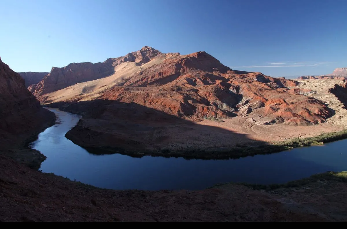
A Colorado River crossing in Coconino County, and the gauging point dividing the river's Upper and Lower Basins since the 1920s.
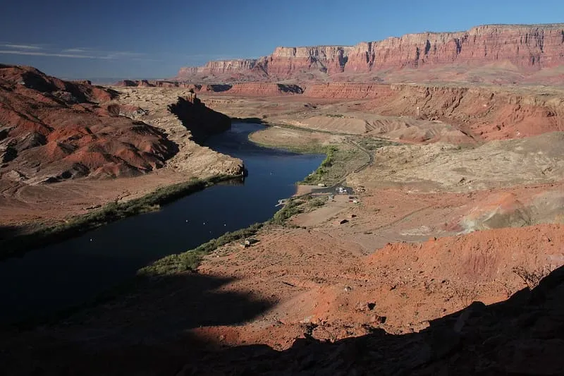
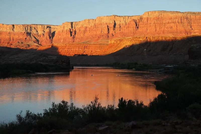
Lees Ferry is a site on the Colorado River in Coconino County, about 7.5 miles south-west of Page and 9 miles south of the Utah–Arizona state line. It is the only place for hundreds of miles from which the Colorado can easily be reached from both banks, and it served historically as an important river crossing; from the mid-19th century a ferry was operated there by John Doyle Lee, for whom it is named. Boat service continued for over 55 years before being superseded by a bridge in the early 20th century. Lees Ferry was a military outpost for 19th-century settlements in Utah and a centre of limited gold seeking, and since the 1920s it has been the principal point at which river flow is measured to determine water allocations across the 246,000-square-mile Colorado River basin. It marks the boundary between the river's Upper and Lower Basins, whose states are each legally allocated half of its natural flow. Glen Canyon Dam impounds the river a short distance upstream and completely regulates the flow past the site. It is also a fishing and boat-launching point, including for whitewater rafting trips through the Grand Canyon.
Lees Ferry is a natural landmark near Vermilion Cliffs National Monument, in Coconino County. It is one of the natural landmarks in this database, and appears in the statewide ranking of Arizona attractions.
No official visitor count is published for Lees Ferry, so its score rests on public interest and tourism significance, and is capped below the level a measured attraction can reach. That is why the medium confidence above is not higher. The weighting is explained in full on the methodology page, and every axis is broken out under Facts and sources at the foot of this page.
Note on the data: No official visitor count is published for this attraction.
Record last verified 2026-08-12.
0.0 miles away
3.6 miles away
4.0 miles away