1.2 miles away
Cathedral Wash Trail
Cathedral Wash Trail, in Vermilion Cliffs National Monument, Arizona.
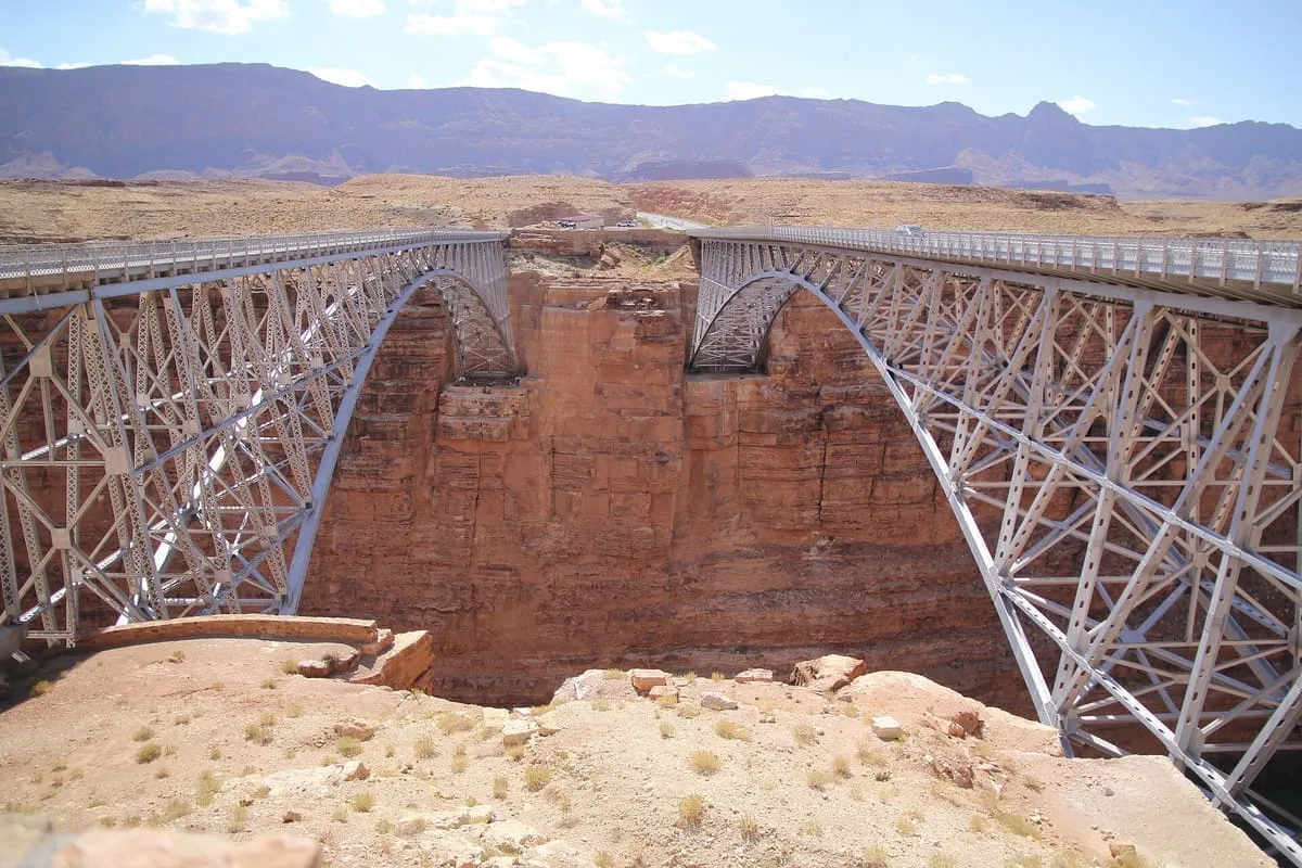
Twin steel arch bridges over Marble Canyon near Lees Ferry, the first dedicated in 1929 and the second opened in 1995.
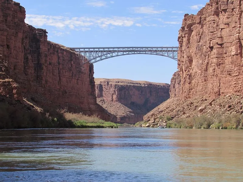
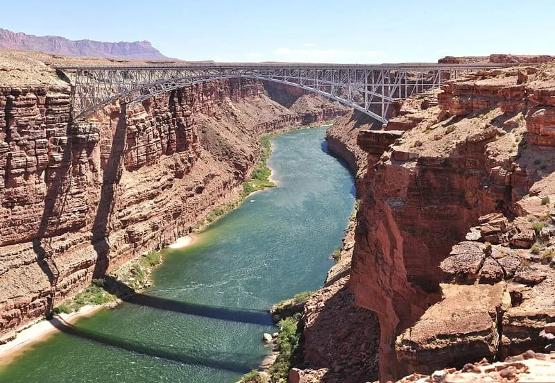
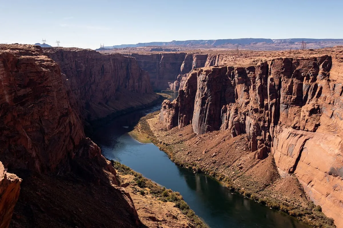
Navajo Bridge is the name of twin steel spandrel arch bridges crossing the Colorado River in northern Coconino County, near Lees Ferry. The newer of the two spans carries vehicular traffic on U.S. Route 89A over Marble Canyon between Bitter Springs and Jacob Lake, giving access to the remote Arizona Strip north of the Colorado River, including the North Rim of Grand Canyon National Park. Before the first bridge was completed, one of the only crossings of the Colorado between Arizona and Utah was the Lees Ferry service, about five miles upstream, which had operated since 1873; the ferry site had been chosen as the only relatively easy access to the river for travellers from either direction, but by the 1920s, when motor traffic began to use it, weather and flooding regularly prevented its operation. The first bridge was dedicated on 14-15 June 1929 as the Grand Canyon Bridge, and renamed Navajo Bridge by the state legislature in 1934. It was closed to vehicles when the second span opened in 1995, and remains open to pedestrians and horse riders. At 467 feet and 470 feet respectively, the two spans are tied at ninth place among the highest bridges in the United States.
Navajo Bridges is a landmark near Vermilion Cliffs National Monument, in Coconino County. It is one of the landmarks in this database, and appears in the statewide ranking of Arizona attractions.
No official visitor count is published for Navajo Bridges, so its score rests on public interest and tourism significance, and is capped below the level a measured attraction can reach. That is why the medium confidence above is not higher. The weighting is explained in full on the methodology page, and every axis is broken out under Facts and sources at the foot of this page.
Note on the data: No official visitor count is published for this attraction.
Record last verified 2026-08-12.
1.2 miles away
4.0 miles away
4.0 miles away
5.1 miles away