14 miles away
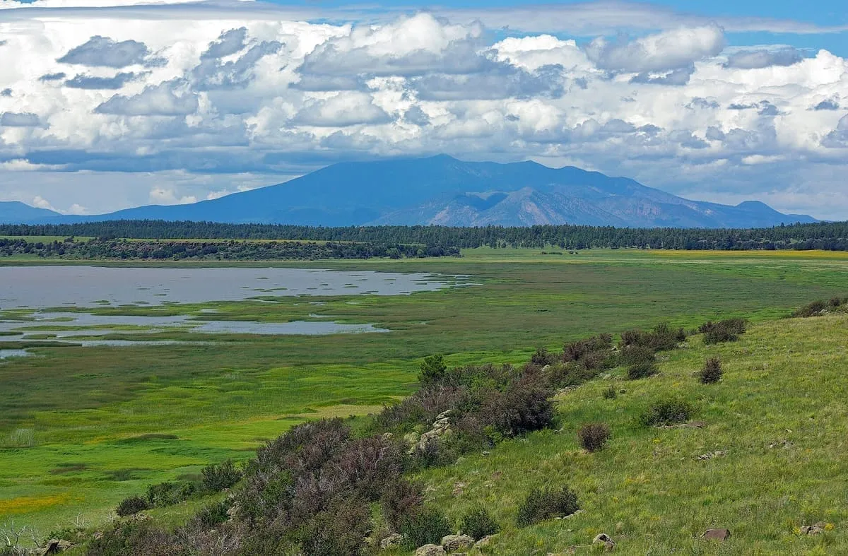
Mormon Lake
A shallow intermittent lake in Pleasant Valley, Arizona's largest natural lake when full and a remnant marsh when it is not.
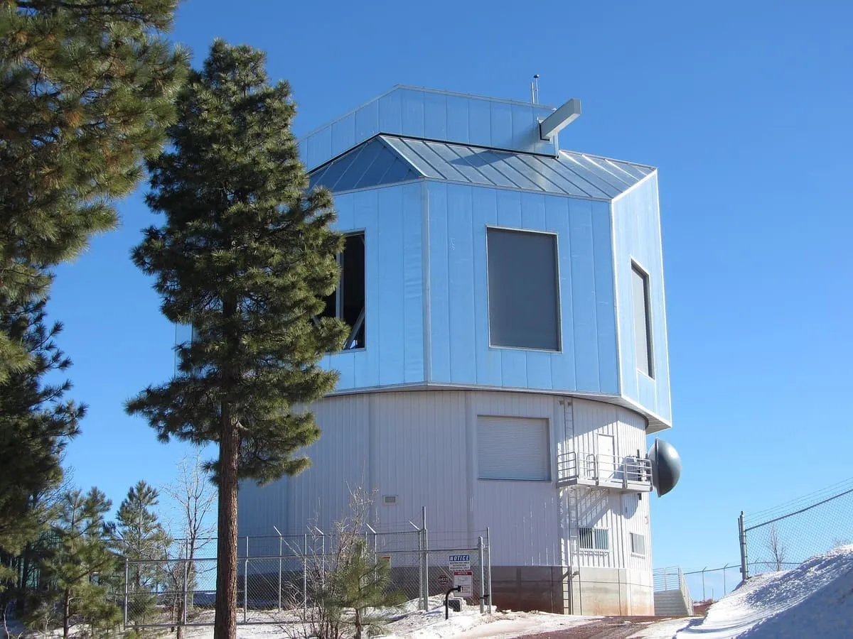
A 4.3-metre telescope operated by Lowell Observatory near Happy Jack, the fifth largest optical telescope in the continental United States.
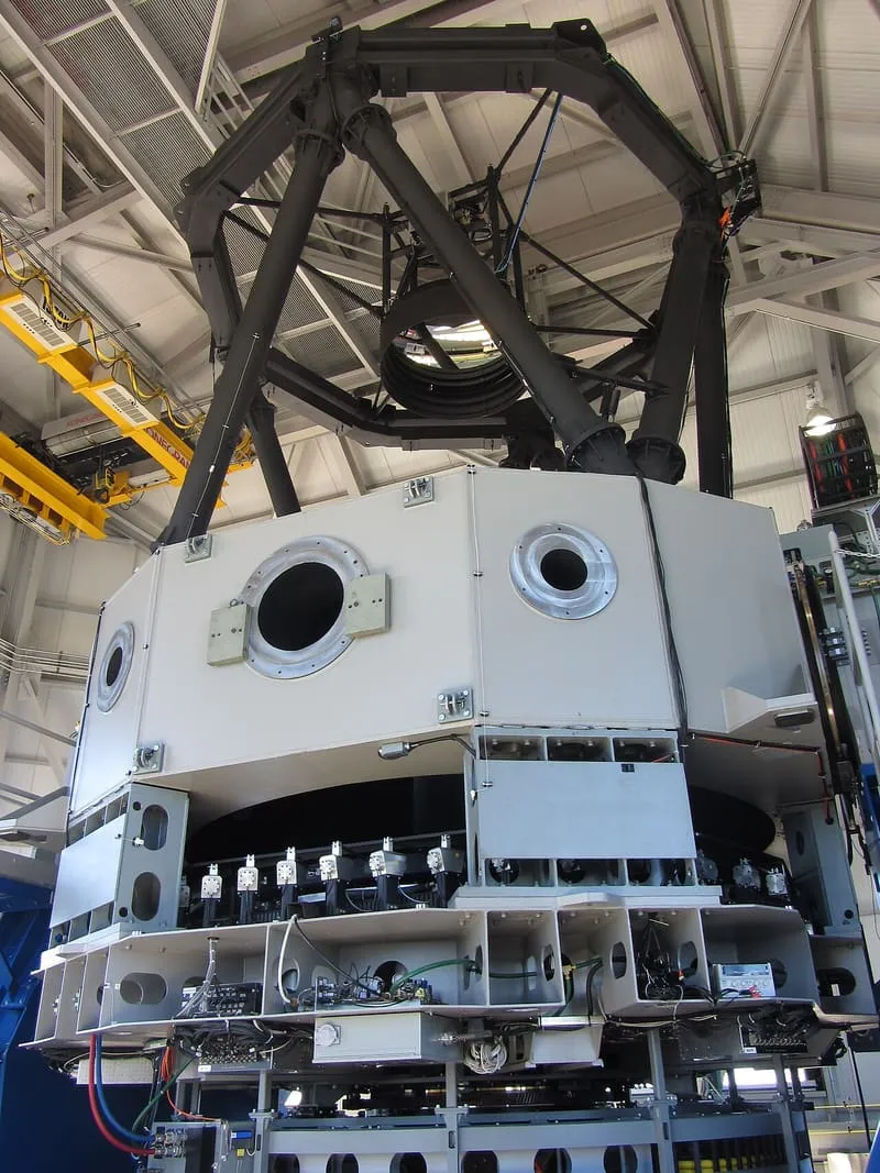
The Lowell Discovery Telescope, formerly the Discovery Channel Telescope, is a 4.3-metre aperture telescope owned and operated by Lowell Observatory. It was built at a dark sky site in the Coconino National Forest near Happy Jack, Arizona, which lies at an elevation of 7,740 feet about 40 miles south-south-east of Flagstaff. The project began as a partnership between Discovery Communications and Lowell Observatory, and the research partnerships were later extended to Boston University, the University of Maryland, the University of Toledo, Northern Arizona University and Yale University. The telescope cost $53 million. Final construction was completed by February 2012 and first light images were taken in April of that year. As of 2026 it is the fifth largest optical telescope in the continental United States.
Lowell Discovery Telescope is a observatory near Sedona, in Coconino County. It is one of the observatories in this database, and appears in the statewide ranking of Arizona attractions.
No official visitor count is published for Lowell Discovery Telescope, so its score rests on public interest and tourism significance, and is capped below the level a measured attraction can reach. That is why the medium confidence above is not higher. The weighting is explained in full on the methodology page, and every axis is broken out under Facts and sources at the foot of this page.
Note on the data: No official visitor count is published for this attraction.
Record last verified 2026-08-12.
14 miles away
14 miles away
18 miles away
19 miles away
19 miles away
20 miles away