1.5 miles away

Schnebly Hill Formation
A dark red sandstone unit 800 to 1,000 feet thick near Sedona, lying between the Coconino Sandstone and the Hermit Formation.
- Rank in Arizona
- #323of 727 ranked
- Overall score
- Score 41.1 out of 100medium confidence
- Most looked up
- Marchby Wikipedia readers
- Category
- Natural Landmark
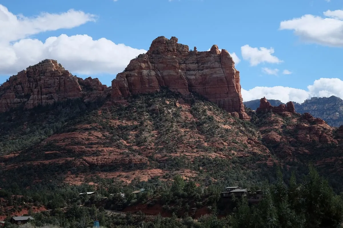
The Schnebly Hill Formation is a section of red bed deposits on the Colorado Plateau, near Sedona in Coconino County, Arizona. It is a dark red sandstone between 800 and 1,000 feet thick, lying between the Coconino Sandstone and the older Hermit Formation, near the Supai Group. Its name comes from Sedona Schnebly, after whom the city of Sedona was named.
Where it is
Schnebly Hill Formation is a natural landmark near Sedona, in Coconino County. It is one of the natural landmarks in this database, and appears in the statewide ranking of Arizona attractions.
How this ranking was reached
No official visitor count is published for Schnebly Hill Formation, so its score rests on public interest and tourism significance, and is capped below the level a measured attraction can reach. That is why the medium confidence above is not higher. The weighting is explained in full on the methodology page, and every axis is broken out under Facts and sources at the foot of this page.
Note on the data: No official visitor count is published for this attraction.
Sources
- Public interest: Wikimedia pageviews (en.wikipedia, human traffic), 2024
- Coordinates and designations: Wikidata(opens in a new tab)
- County: U.S. Census geography via FCC Area API, resolved from coordinates
Record last verified 2026-08-12.
Nearby attractions
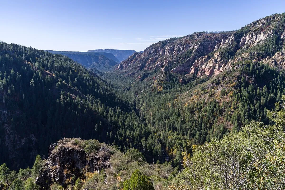
- A cliffside swimming hole on Oak Creek about two miles north of Sedona, shaded and cool enough that the Forest Service recommends it as a respite from the summer heat. Picnic tables and vault toilets, no drinking water, and no camping — it is day-use only, and a fee applies. Allen's Bend trail leaves the car park, running north towards Casner Canyon and south towards Huckaby.
1.9 miles away
Oak Creek Canyon
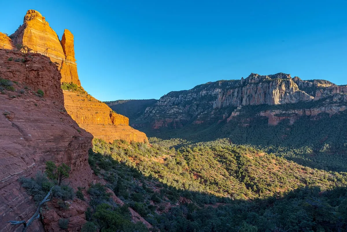
A river gorge between Flagstaff and Sedona, followed for 13 miles by State Route 89A after a descent of hairpin turns.
2.2 miles away
Slide Rock State Park
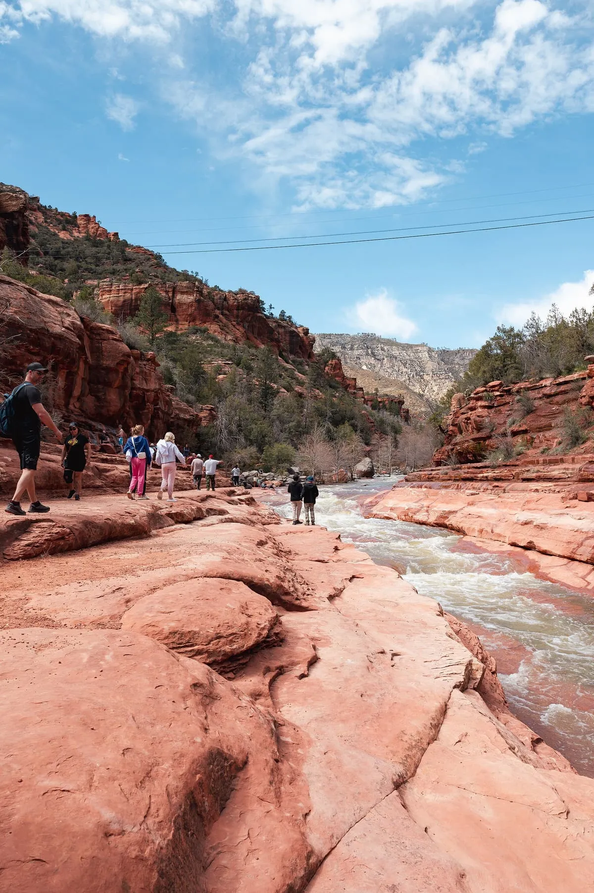
A natural water slide formed by the bed of Oak Creek north of Sedona, set on a 43-acre working apple farm.3.3 miles away
Sedona Heritage Museum
Sedona Heritage Museum, in Sedona, Arizona, is dedicated to the history of the town's early white settlement.
3.4 miles away
Snoopy rock
Snoopy Rock, near Sedona, Arizona, is a rock formation that from one side resembles the Snoopy dog character lying on his back.
4.3 miles away
Broken Arrow Trail
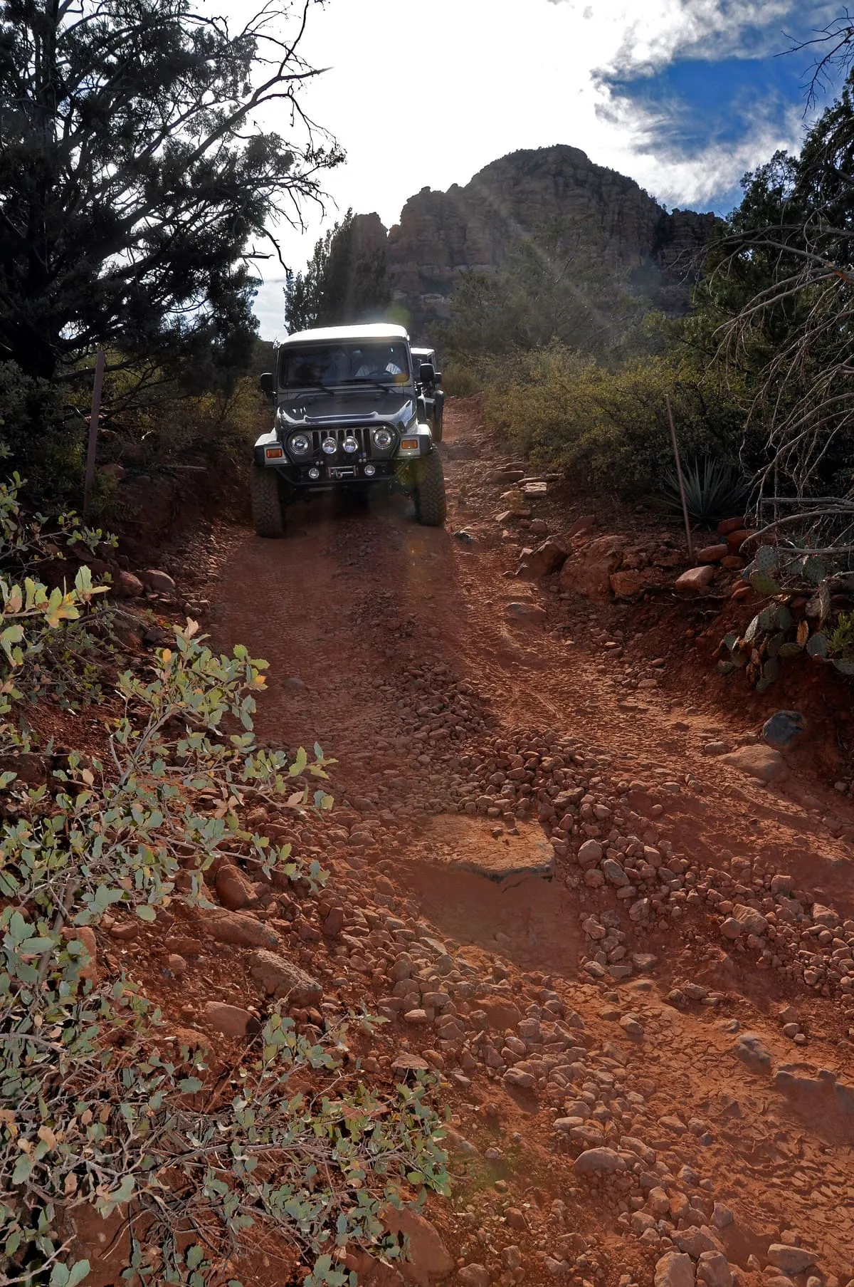
A 2-mile, cairn-marked Sedona trail to Chicken Point, passing Submarine Rock and shared with Pink Jeep tours and mountain bikers.
Facts and sources
Place
- Category
- Natural Landmark
- Destination
- Sedona
- County
- Coconino County
- State
- Arizona
Visitation
- Annual visits
- Not published
Ranking
- Overall score
- 41.1 / 100
- Visitation score
- No published count
- Popularity score
- 20.8
- Significance score
- 58.0
- Confidence
- medium
Visiting
- Coordinates
- 34.8909, -111.7056
- Last verified
- 2026-08-12