
0.1 miles away
Rim Trail
A paved 13-mile trail along the Grand Canyon's South Rim, from the South Kaibab Trailhead west to Hermit's Rest.
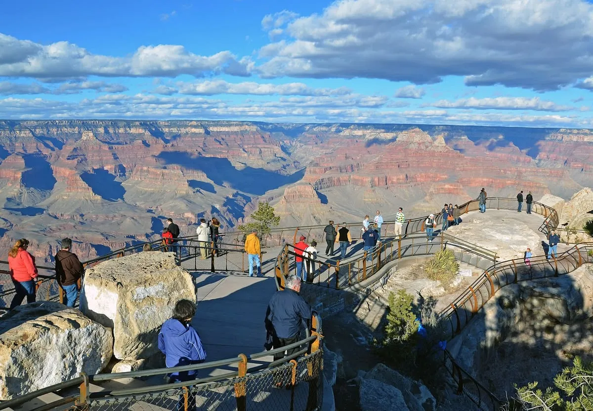
A South Rim viewpoint at 7,119 feet, named after Stephen Tyng Mather and looking north across Granite Gorge up Bright Angel Canyon.
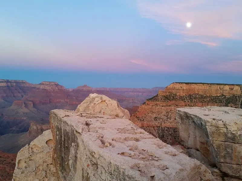
Mather Point is a viewpoint on the South Rim of the Grand Canyon, in Coconino County, northern Arizona, at a cliff elevation of 7,119 feet (2,170 m). It was named in honour of Stephen Tyng Mather, an American industrialist and conservationist. The point lies about 2 miles east-north-east of Grand Canyon Village, 0.75 miles east of Yavapai Point and 1.5 miles west of Yaki Point, across Upper Pipe Creek Canyon; the Rim Trail passes through it, and Arizona State Route 64, the South Rim access road, runs about a mile to the south. The view from the point looks north across Granite Gorge and up Bright Angel Canyon, taking in Isis Temple and Cheops Pyramid, and to the east Zoroaster Temple, with Demaray Point, Bradley Point and Sumner Butte. The point is composed of horizontally layered Kaibab Limestone, mostly buff or tan-white, broken into large blocks and marked by limestone erosion holes, resting on slopes of the Toroweap Formation, which in turn rest on white cliffs of Coconino Sandstone.
Mather Point is a natural landmark near Grand Canyon, in Coconino County. It is one of the natural landmarks in this database, and appears in the statewide ranking of Arizona attractions.
No official visitor count is published for Mather Point, so its score rests on public interest and tourism significance, and is capped below the level a measured attraction can reach. That is why the medium confidence above is not higher. The weighting is explained in full on the methodology page, and every axis is broken out under Facts and sources at the foot of this page.
Note on the data: No official visitor count is published for this attraction.
Record last verified 2026-08-12.
0.1 miles away
0.9 miles away
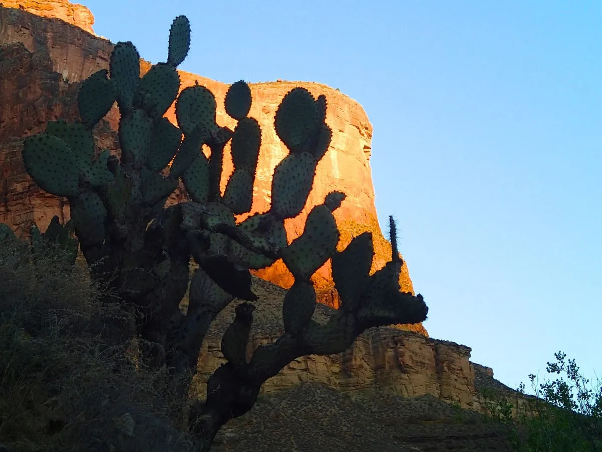
1.0 miles away
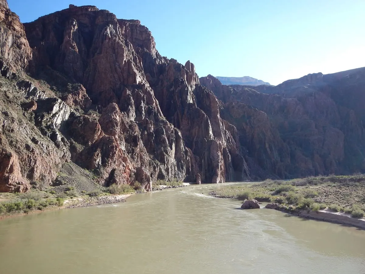
1.5 miles away
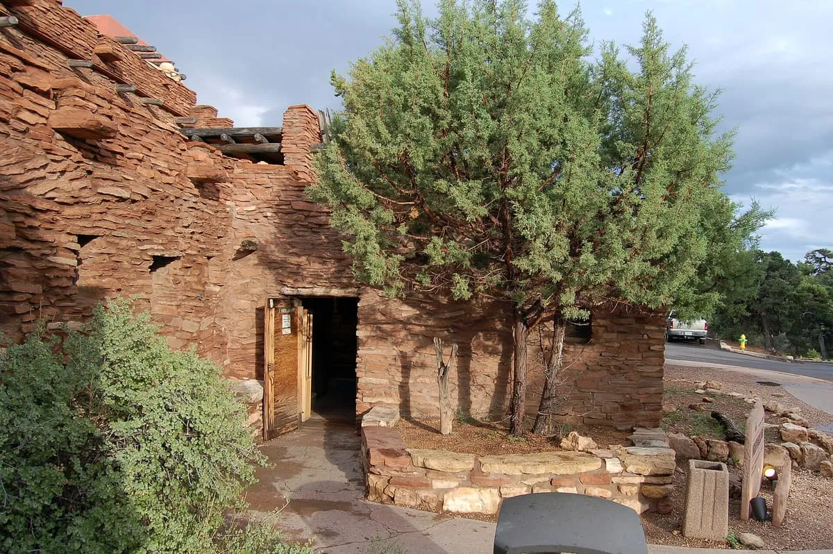
1.6 miles away
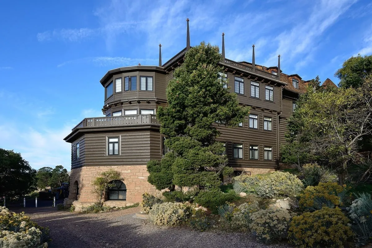
1.7 miles away