1.1 miles away
Mica Mountain
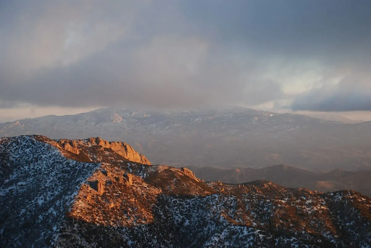
Mica Mountain is an 8,668-foot (2,642 m) peak in the Rincon Mountain District of Saguaro National Park in Pima County, Arizona, about 20 miles (32 km) east of Tucson. It is the highest point of the park and the highest point in the Rincon Mountains.

Facts and sources
Place
- Category
- Natural Landmark
- Destination
- Saguaro National Park
- County
- Pima County
- State
- Arizona
Visitation
- Annual visits
- Not published
Ranking
- Overall score
- 41.0 / 100
- Visitation score
- No published count
- Popularity score
- 20.6
- Significance score
- 58.0
- Confidence
- medium
Visiting
- Coordinates
- 32.2200, -110.5433
- Last verified
- 2026-08-12
Where it is
Mica Mountain is a natural landmark near Saguaro National Park, in Pima County. It is one of the natural landmarks in this database, and appears in the statewide ranking of Arizona attractions.
How this ranking was reached
This place scores 41.0 out of 100, at medium confidence. No official visitor count is published for it, so the score rests on public interest and tourism significance, and is capped below the level a measured attraction can reach. The weighting is explained in full on the methodology page.
Note on the data: No official visitor count is published for this attraction.
Sources
- Description: Wikipedia(opens in a new tab), used under CC BY-SA 4.0(opens in a new tab)
- Public interest: Wikimedia pageviews (en.wikipedia, human traffic), 2024
- Coordinates and designations: Wikidata(opens in a new tab)
- County: U.S. Census geography via FCC Area API, resolved from coordinates
Record last verified 2026-08-12.
Nearby attractions
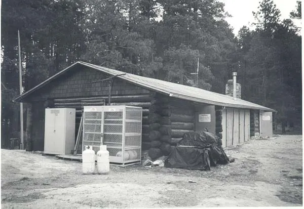
- The Manning Cabin sits in the Rincon Mountains in Saguaro National Park. Levi H. Manning had the cabin built in 1905 for use as a mountain summer home. It was the first such retreat built in the Rincon Mountains.

4.0 miles away
Rincon Mountains
The Rincon Mountains (O'odham: Cew Doʼag) are a significant mountain range east of Tucson, Pima County, Arizona, in the United States. The Rincon Mountains are one of five mountain ranges surrounding the Tucson valley. The other ranges include the most prominent, the Santa Catalina Mountains to the north, the Santa Rita Mountains to the south, the Tucson Mountains to the west, and the Tortolita Mountains to the northwest.
9.8 miles away
Loma Verde Loop
A short loop through mesquite trees and a seasonally flowing dry wash, with a view of the remains of the Loma Verde Mine. Also popular for birding and trail running.12 miles away
Colossal Cave Mountain Park
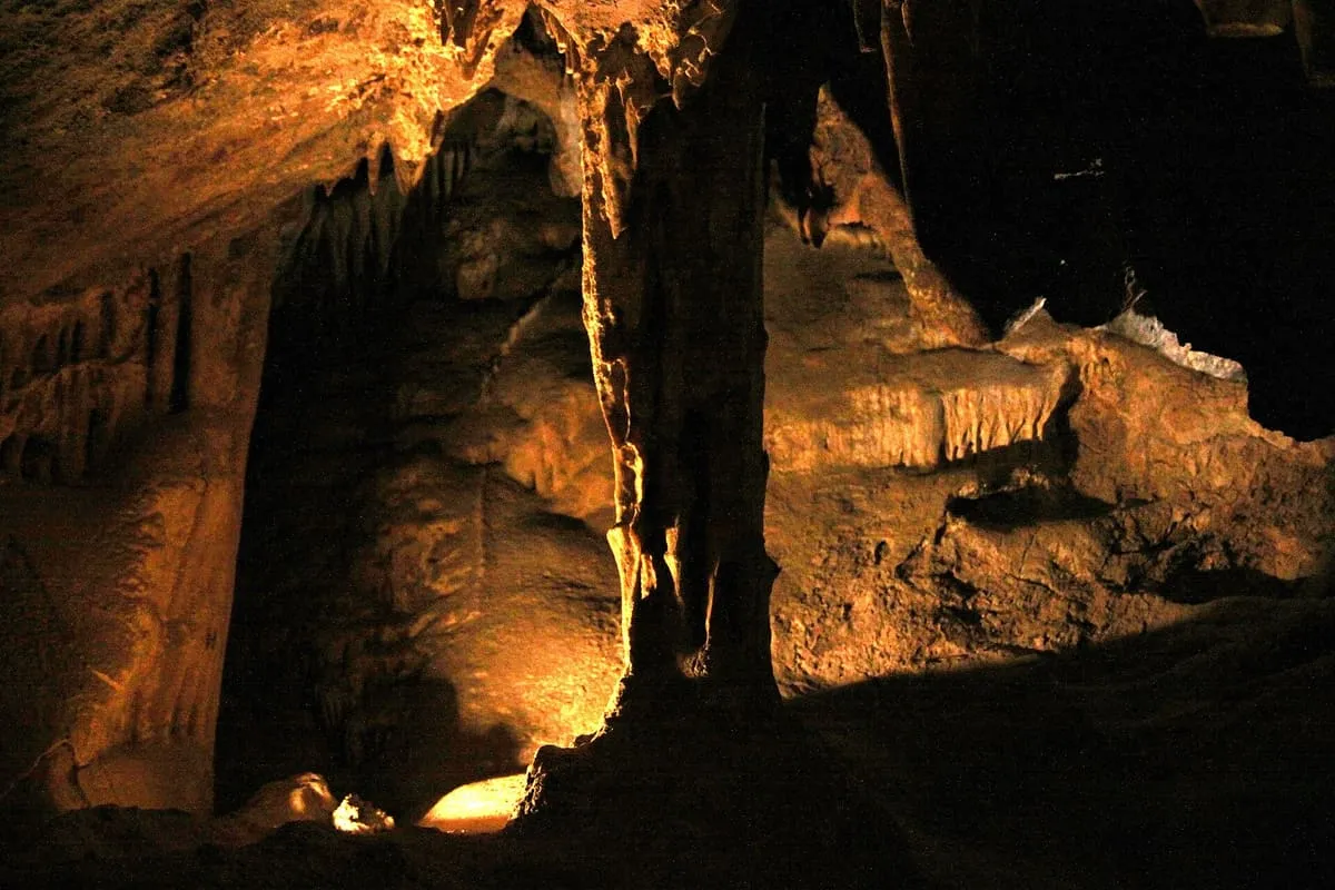
A "dry" cave with 3½ miles of mapped passageways. The cave was used by pre-Columbian Native Americans, and rediscovered in 1879. Also on park grounds are a cowboy ranch museum, a butterfly garden, horseback trails, and picnic and camping facilities.