3.7 miles away
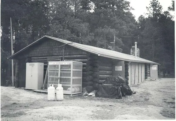
Manning Cabin
A 1905 log cabin in Saguaro National Park's Rincon Mountains, later used to house Forest Service and Park Service fire and trail crews.
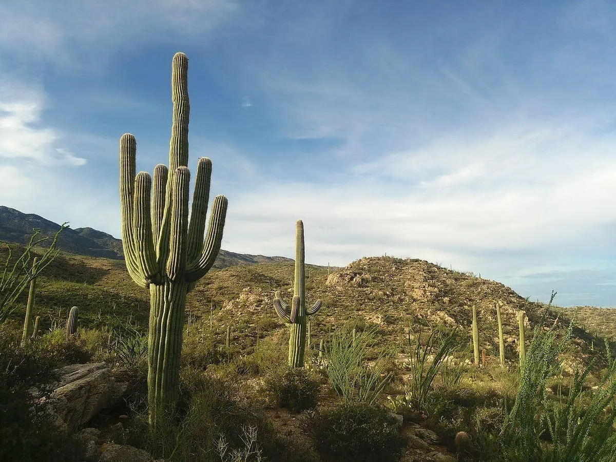
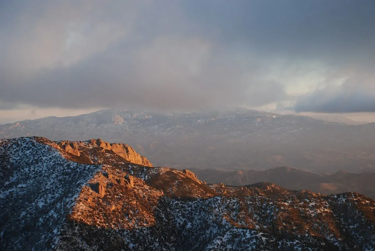
A Madrean sky island range east of Tucson, rising to Mica Mountain at 8,664 feet and named for its cornered shape.
The Rincon Mountains are a mountain range east of Tucson, in Pima County. Their O'odham name is Cew Do'ag. They are one of five ranges around the Tucson valley, with the Santa Catalina Mountains to the north, the Santa Rita Mountains to the south, the Tucson Mountains to the west and the Tortolita Mountains to the north-west; Redington Pass separates them from the Santa Catalinas. They are generally less rugged than either the Santa Catalinas or the Santa Ritas, and belong to the Madrean sky island ranges of south-eastern Arizona, extreme south-western New Mexico and northern Sonora. Rincón is Spanish for corner, describing the range's shape. Its high point is Mica Mountain, at 8,664 feet.
Rincon Mountains is a natural landmark near Saguaro National Park, in Pima County. It is one of the natural landmarks in this database, and appears in the statewide ranking of Arizona attractions.
No official visitor count is published for Rincon Mountains, so its score rests on public interest and tourism significance, and is capped below the level a measured attraction can reach. That is why the medium confidence above is not higher. The weighting is explained in full on the methodology page, and every axis is broken out under Facts and sources at the foot of this page.
Note on the data: No official visitor count is published for this attraction.
Record last verified 2026-08-12.
3.7 miles away
4.0 miles away
6.3 miles away
10 miles away
12 miles away