3.3 miles away
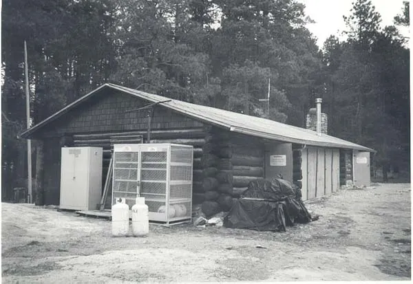
Manning Cabin
A 1905 log cabin in Saguaro National Park's Rincon Mountains, later used to house Forest Service and Park Service fire and trail crews.
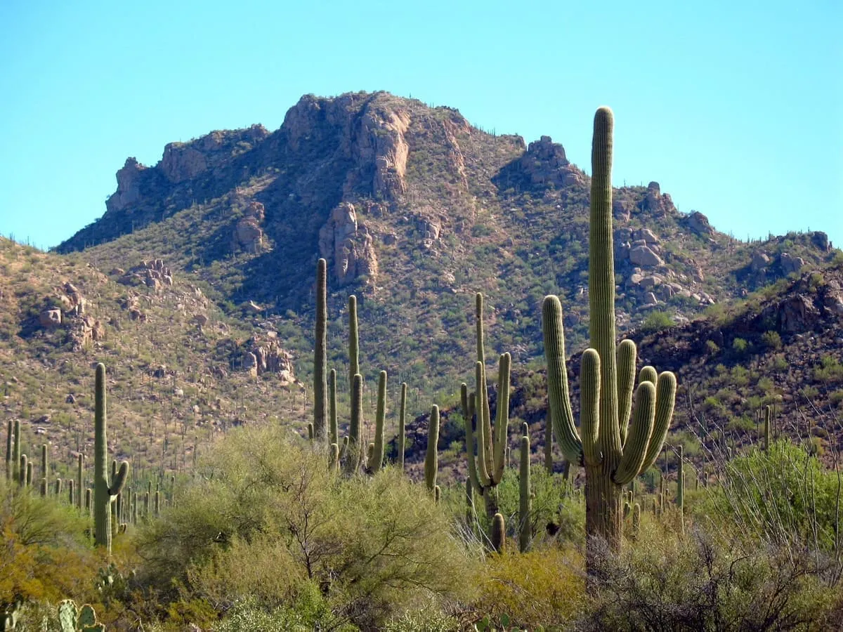
Two districts of Sonoran Desert either side of Tucson, preserving the giant saguaro cactus the park is named for.
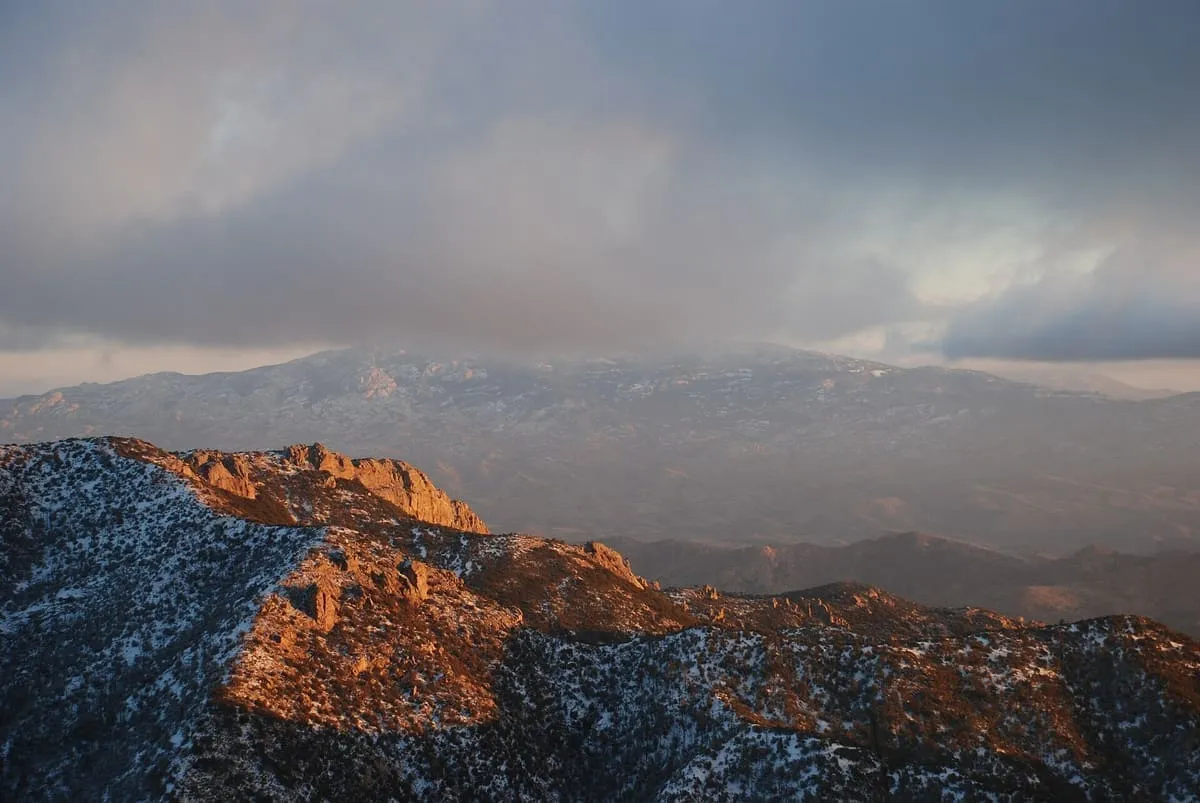
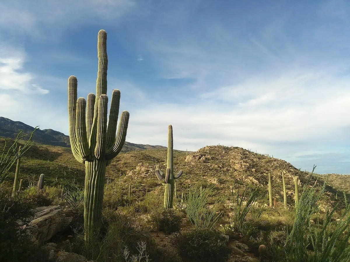
Saguaro National Park is a national park in south-eastern Arizona, made up of two separate districts either side of Tucson: the Tucson Mountain District about ten miles west of the city, and the Rincon Mountain District about ten miles east. Together they cover some 92,000 acres and preserve Sonoran Desert landscape, fauna and flora, including the giant saguaro cactus for which the park is named. The surface geology of the two districts differs sharply. Over the past 30 million years crustal stretching displaced rock from beneath the Tucson Mountains to form the Rincon Mountains, which were then uplifted, domed and eroded, and which stand significantly higher than the volcanic rocks of the western district. It recorded 946,369 recreation visits in 2024.
Saguaro National Park is a national park near Tucson, in Pima County. It is one of the national parks in this database, and appears in the statewide ranking of Arizona attractions.
The score combines the published visitor count with public interest and tourism significance, which is what earns it high confidence. The weighting is explained in full on the methodology page, and every axis is broken out under Facts and sources at the foot of this page.
Record last verified 2026-08-12.
3.3 miles away
4.1 miles away
5.8 miles away
6.3 miles away
9.8 miles away