Mingus Mountain
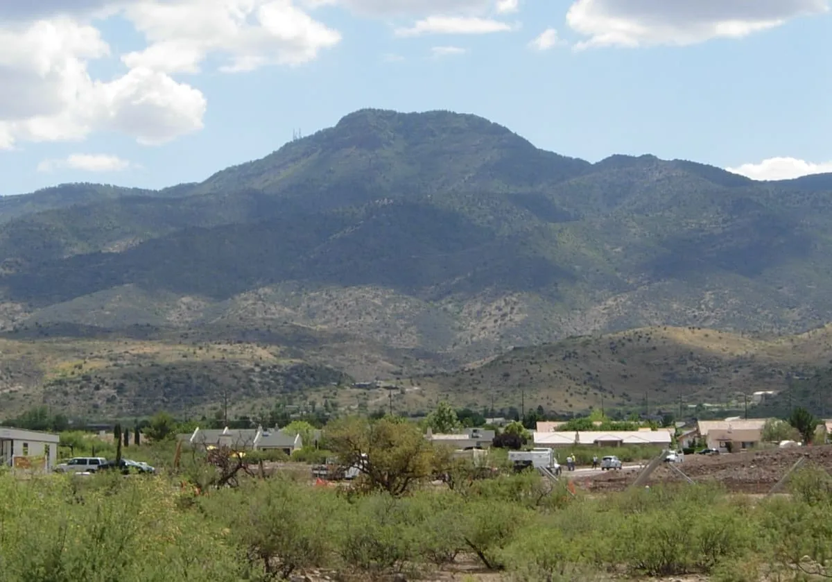
A mountain in the Prescott National Forest between Cottonwood and Prescott, giving views over the Verde Valley.
- Rank in Arizona
- #217of 727 ranked
- Overall score
- Score 45.3 out of 100medium confidence
- Category
- Natural Landmark
Mingus Mountain is a mountain in the Black Hills range of central Arizona, within the Prescott National Forest. Its Yavapai name is Hwa:lkyañaña. State Route 89A crosses it roughly midway between Cottonwood and Prescott, and Forest Service roads branching from the highway reach the summit. The mountain gives views over the Verde Valley, the Sycamore Canyon Wilderness and the towns of Cottonwood, Jerome and Clarkdale, and the Woodchute Wilderness lies north of the highway's high point. Several national forest campgrounds stand in the area. The summit carries the transmitter for the Prescott television station KAZT-TV and for low-power stations serving Cottonwood, Clarkdale, Camp Verde and Prescott Valley, and the mountain is used as a hang gliding site.
Where it is
Mingus Mountain is a natural landmark near Jerome, in Yavapai County. It is one of the natural landmarks in this database, and appears in the statewide ranking of Arizona attractions.
How this ranking was reached
No official visitor count is published for Mingus Mountain, so its score rests on public interest and tourism significance, and is capped below the level a measured attraction can reach. That is why the medium confidence above is not higher. The weighting is explained in full on the methodology page, and every axis is broken out under Facts and sources at the foot of this page.
Note on the data: No official visitor count is published for this attraction.
Sources
- Public interest: Wikimedia pageviews (en.wikipedia, human traffic), 2024
- Coordinates and designations: Wikidata(opens in a new tab)
- County: U.S. Census geography via FCC Area API, resolved from coordinates
Record last verified 2026-08-12.
More photographs
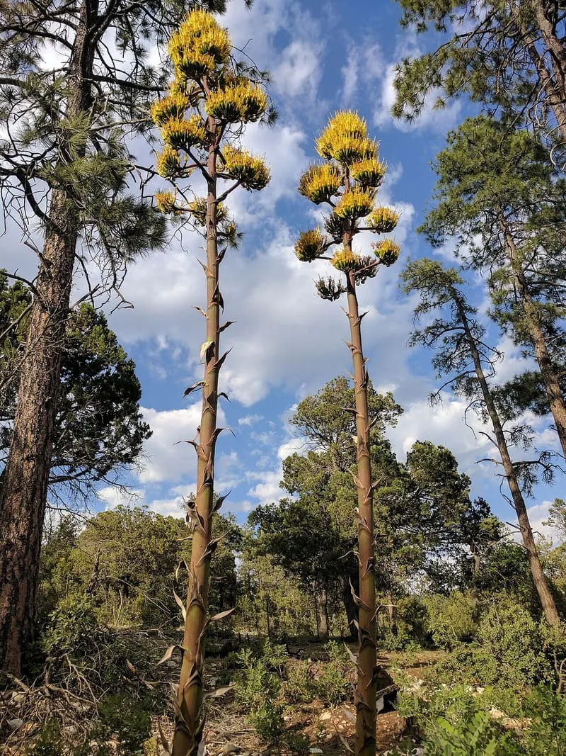
Susan Barnum, CC BY-SA 4.0 · licence(opens in a new tab) · source(opens in a new tab) 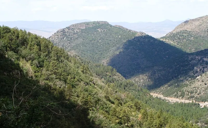
Zereshk, CC BY-SA 3.0 · licence(opens in a new tab) · source(opens in a new tab)
Nearby attractions
4.0 miles away
Mine Museum
The Mine Museum, in Jerome, Yavapai County, Arizona, covers the town's mining history and has an onsite gift shop.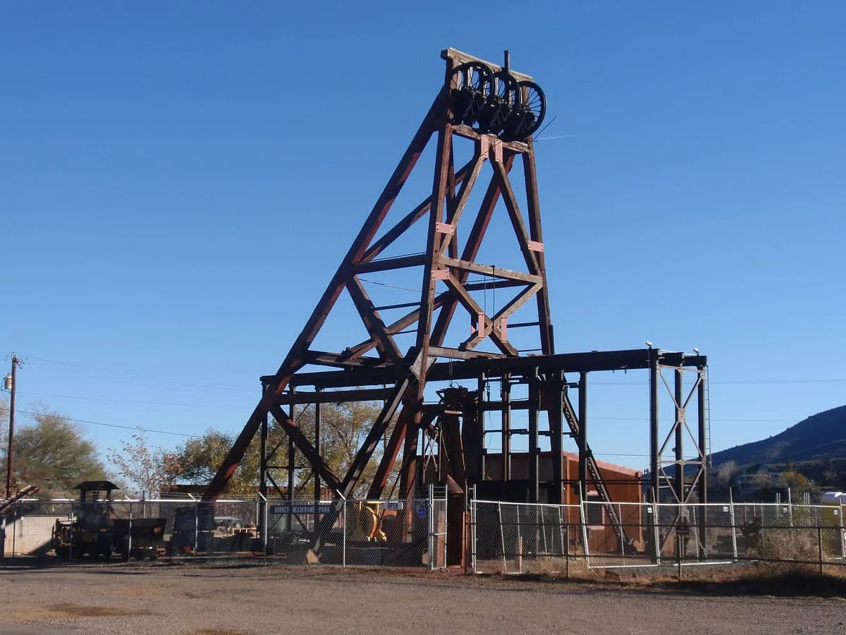
4.2 miles away
Audrey Shaft Headframe Park
A Jerome mining park with Arizona's largest standing wooden headframe over a 1,900-foot shaft, viewable through a glass platform.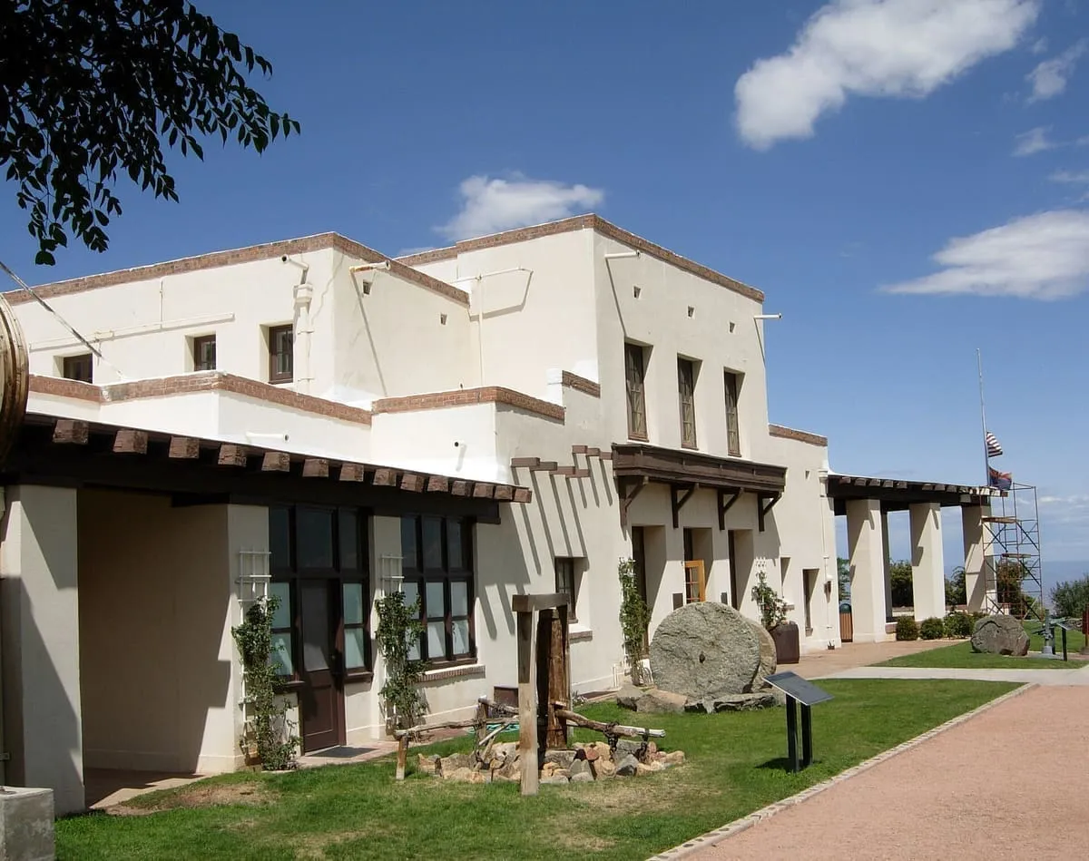
4.2 miles away
Jerome State Historic Park
An Arizona state park in the mining town of Jerome, built around the 1916 Douglas Mansion and its museum.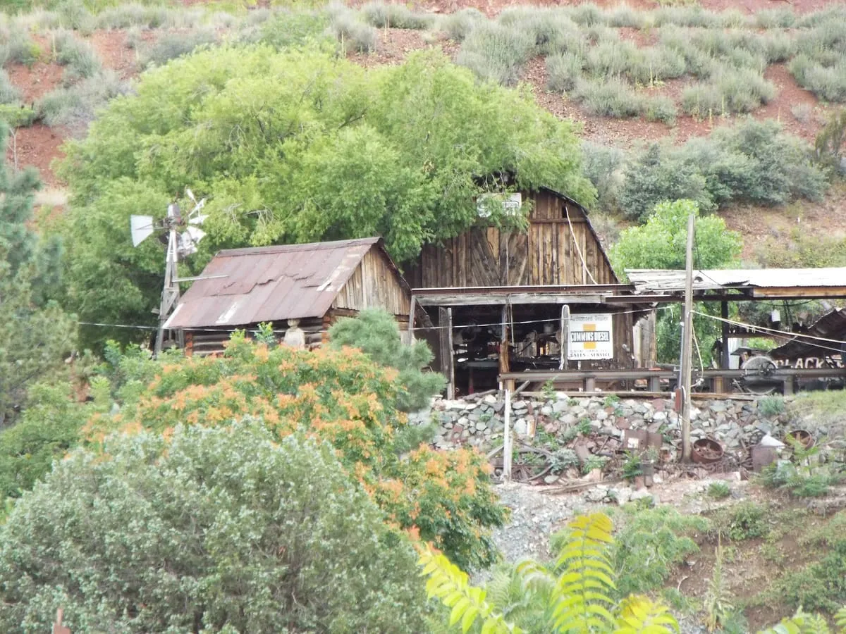
4.3 miles away
Gold King Mine Ghost Town
Gold King Mine Ghost Town, near Jerome, Yavapai County, Arizona, preserves the grounds of a former mine, with gold panning offered on-site.
Facts and sources
Place
- Category
- Natural Landmark
- Destination
- Jerome
- County
- Yavapai County
- State
- Arizona
Visitation
- Annual visits
- Not published
Ranking
- Overall score
- 45.3 / 100
- Visitation score
- No published count
- Popularity score
- 30.0
- Significance score
- 58.0
- Confidence
- medium
Visiting
- Coordinates
- 34.6939, -112.1278
- Last verified
- 2026-08-12