14 miles away
Border Air Museum
The Border Air Museum in Douglas, Cochise County, Arizona, is dedicated to the history of cross-border aviation.
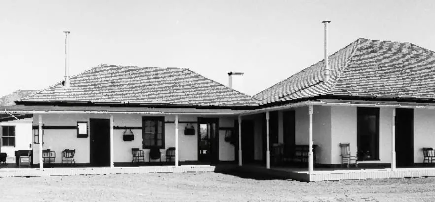
A National Historic Landmark ranch in south-eastern Cochise County, home of the lawman John Horton Slaughter from the 1880s until 1922.
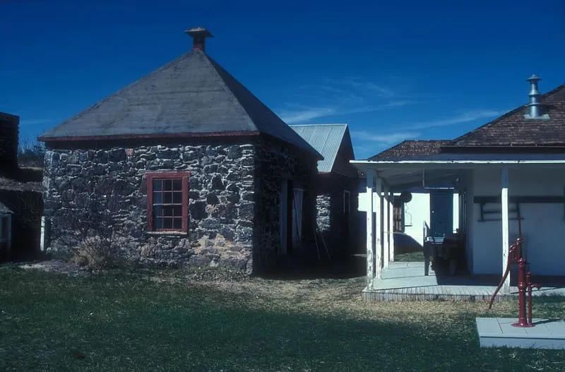
San Bernardino Ranch is a historic ranch house in the southern San Bernardino Valley, near the San Bernardino National Wildlife Refuge in the extreme south-east of Cochise County, Arizona. The ranchland and valley form part of the headwaters region of the Yaqui River. The ranch is significant for its association with the beginning of cattle ranching in southern Arizona and northern Mexico. It is also known as the Slaughter Ranch, having been the home of the lawman John Horton Slaughter from the 1880s until his death in 1922. In 1911, during the conflict known as the Border War, a United States Army camp was established at the ranch and called Camp San Bernardino Ranch, or the Slaughter Ranch Outpost. The site was declared a National Historic Landmark in 1964 for its association with Slaughter. The compound now includes the preserved ranch house, wash house, icehouse, granary and commissary, much of it set up as the Johnson Historical Museum of the Southwest.
San Bernardino Ranch is a historic site near Douglas, in Cochise County. It is one of the historic sites in this database, and appears in the statewide ranking of Arizona attractions.
No official visitor count is published for San Bernardino Ranch, so its score rests on public interest and tourism significance, and is capped below the level a measured attraction can reach. That is why the medium confidence above is not higher. The weighting is explained in full on the methodology page, and every axis is broken out under Facts and sources at the foot of this page.
Note on the data: No official visitor count is published for this attraction.
Record last verified 2026-08-12.
14 miles away
15 miles away
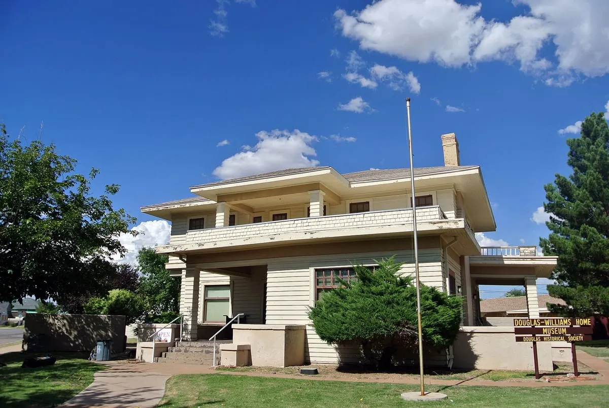
16 miles away
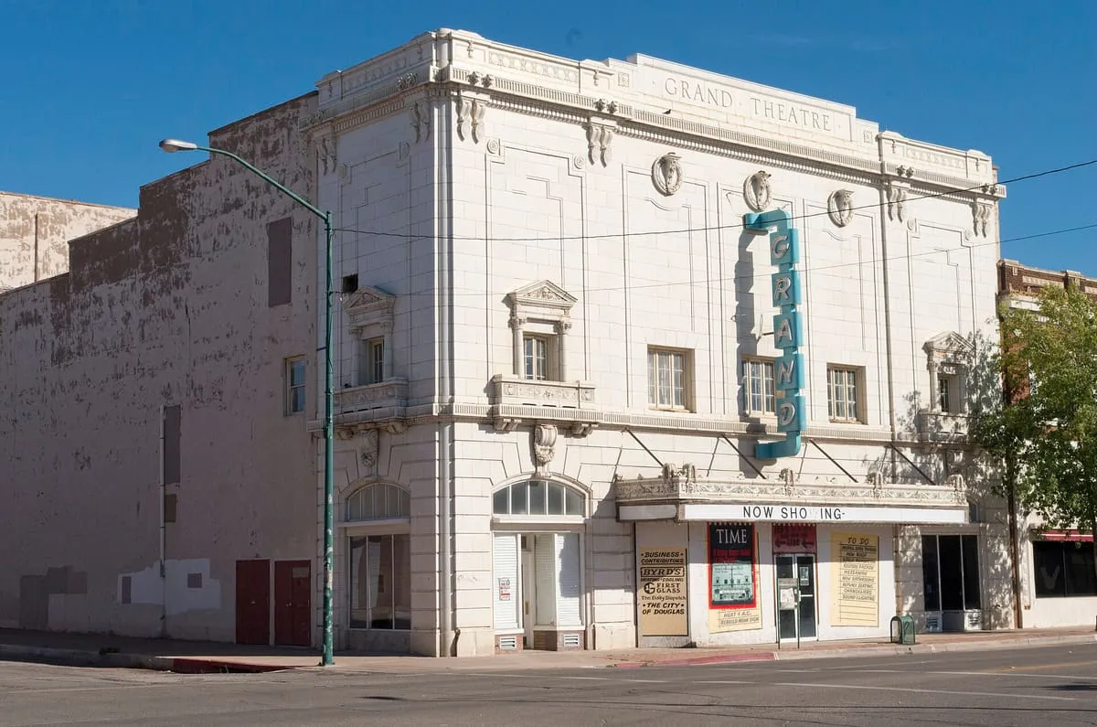
16 miles away
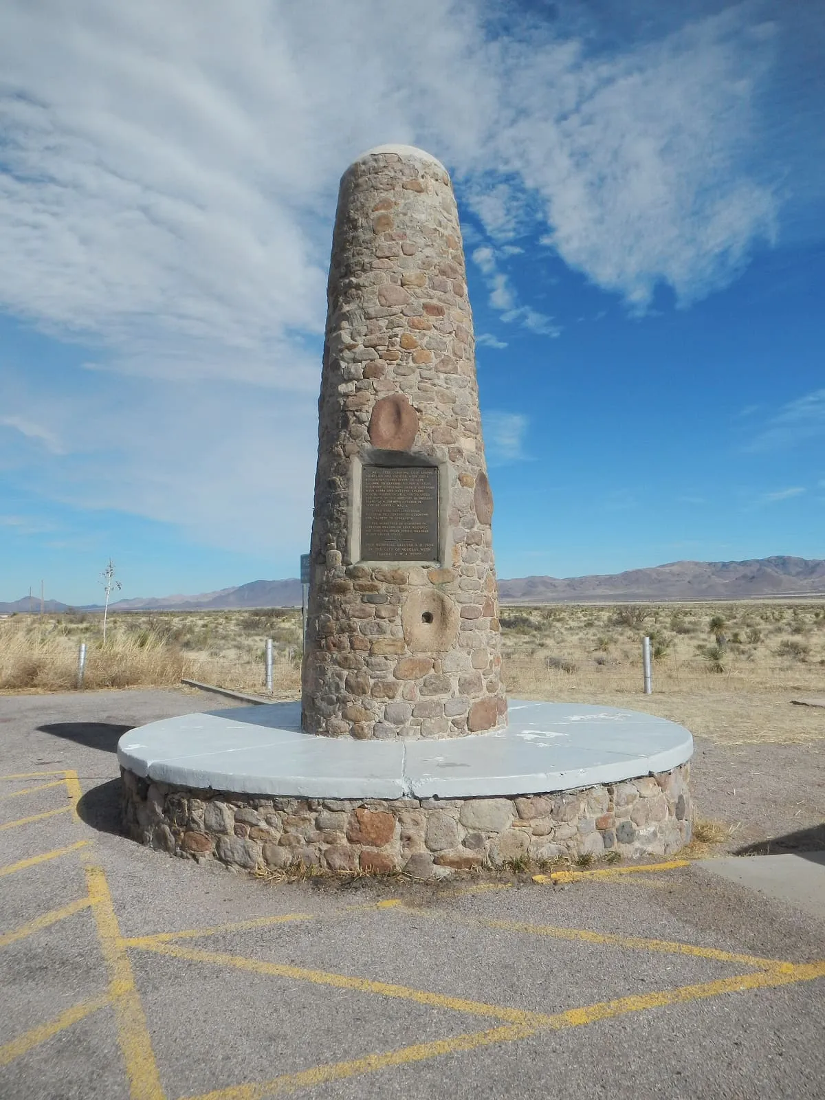
26 miles away
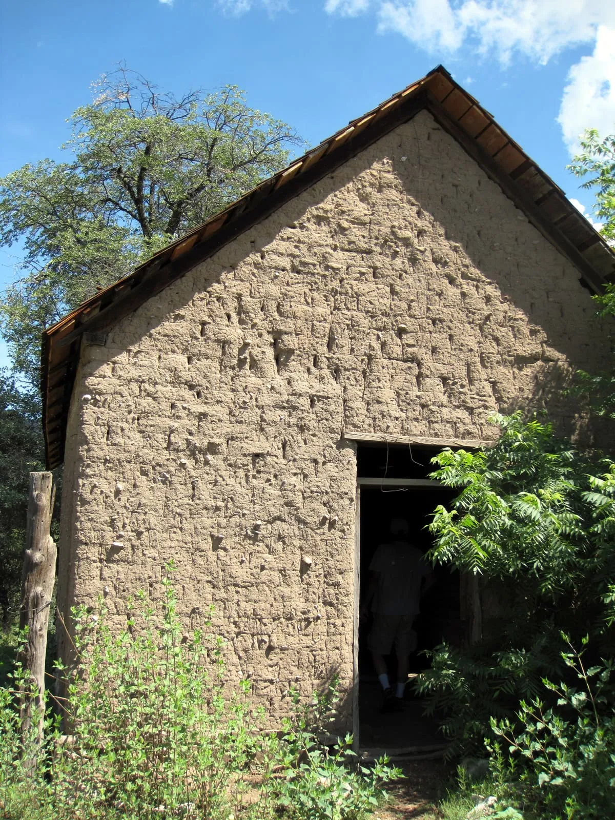
29 miles away