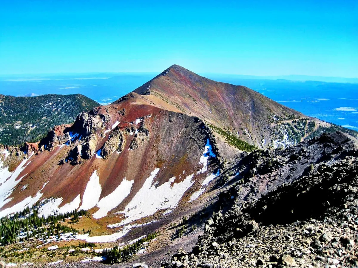
1.4 miles away
Agassiz Peak
Arizona's second-highest mountain at 12,360 feet, north of Flagstaff, open to climbers only in winter when it is under snow.
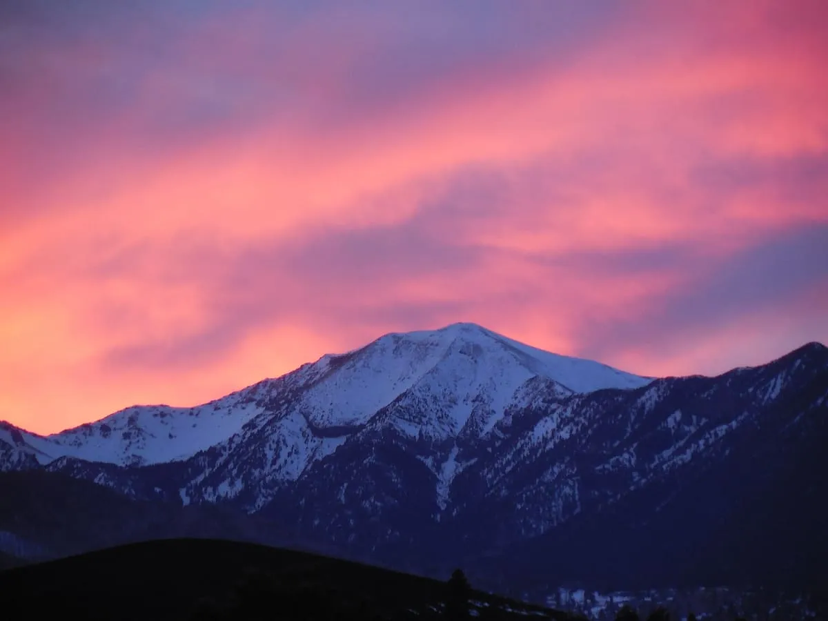
A volcanic range north of Flagstaff, crowned by Humphreys Peak at 12,633 feet, the highest point in Arizona.
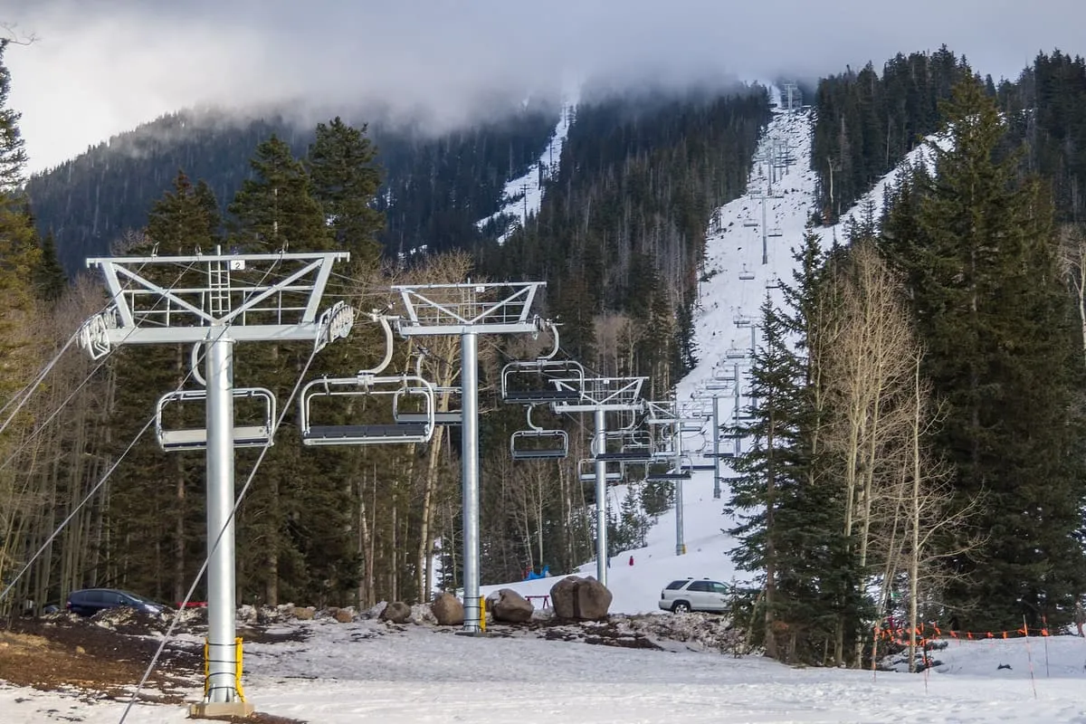
The San Francisco Peaks are a volcanic mountain range in north-central Arizona, just north of Flagstaff. Part of the San Francisco volcanic field, they are the remnant of San Francisco Mountain, a prehistorically larger single stratovolcano. The highest summit in the range, Humphreys Peak, is the highest point in Arizona at 12,633 feet. An aquifer within the caldera supplies much of Flagstaff's water, and the mountain lies within the Coconino National Forest, which manages it as a recreation site with hiking trails for all skill levels as well as mountain biking, rock climbing, camping and skiing. The Arizona Snowbowl ski area occupies the western slopes of Humphreys Peak and has been the subject of major controversy involving several tribes and environmental groups. The range is held sacred by the Havasupai, Navajo, Hopi and Zuni, and is known as Dookʼoʼoosłííd in Navajo and Nuva'tukya'ovi in Hopi.
San Francisco Peaks is a natural landmark near Flagstaff, in Coconino County. It is one of the natural landmarks in this database, and appears in the statewide ranking of Arizona attractions.
No official visitor count is published for San Francisco Peaks, so its score rests on public interest and tourism significance, and is capped below the level a measured attraction can reach. That is why the medium confidence above is not higher. The weighting is explained in full on the methodology page, and every axis is broken out under Facts and sources at the foot of this page.
Note on the data: No official visitor count is published for this attraction.
Record last verified 2026-08-12.
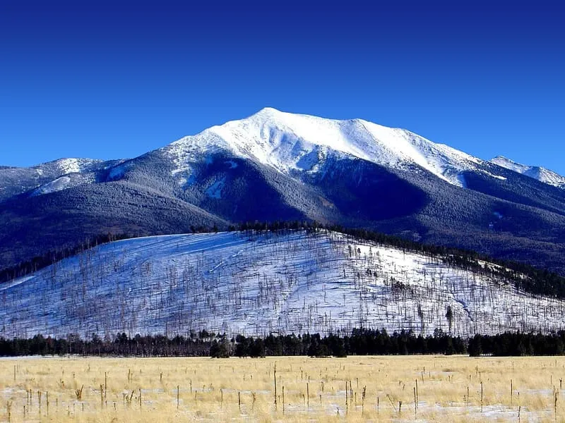
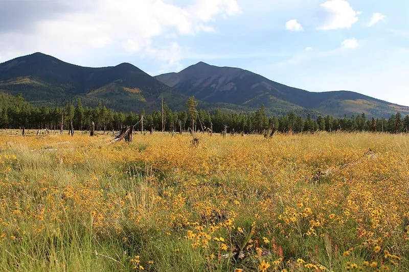
1.4 miles away
2.1 miles away
6.5 miles away
7.7 miles away
8.5 miles away
8.6 miles away