5.8 miles away
Sierra Prieta
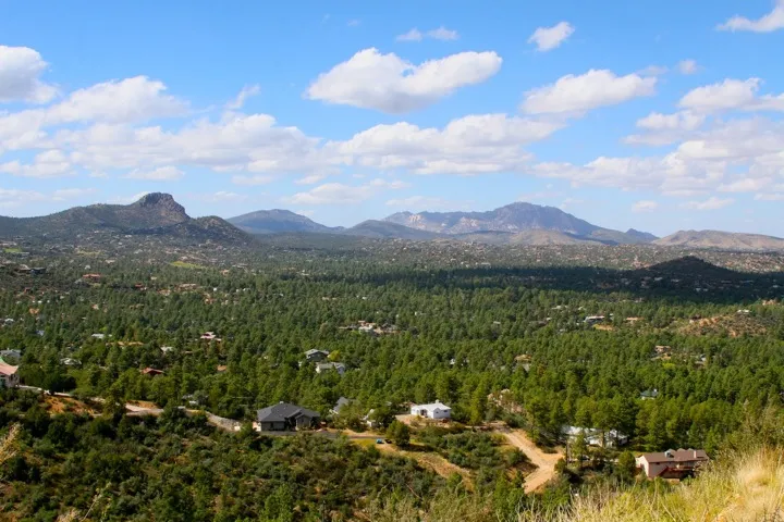
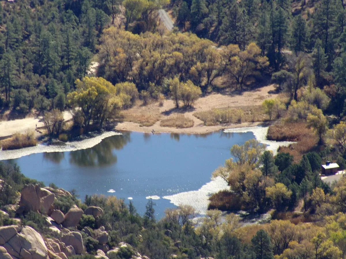
The Sierra Prieta is a 14 miles (23 km) long mountain range in central-northwest Arizona. The range is the mountainous region west of Prescott, with prominent Thumb Butte, 6,514 feet (1,985 m), a volcanic plug, on the city's west perimeter. The range is attached to the northwest of the Bradshaw Mountains, and Granite Mountain, a recreation site, as well as a rockclimbing location, is part of the range's northeast section, overlooking Williamson Valley, further northeast.

Facts and sources
Place
- Category
- Natural Landmark
- Destination
- Prescott
- County
- Yavapai County
- State
- Arizona
Visitation
- Annual visits
- Not published
Ranking
- Overall score
- 40.0 / 100
- Visitation score
- No published count
- Popularity score
- 18.3
- Significance score
- 58.0
- Confidence
- medium
Visiting
- Coordinates
- 34.5400, -112.5900
- Last verified
- 2026-08-12
Where it is
Sierra Prieta is a natural landmark near Prescott, in Yavapai County. It is one of the natural landmarks in this database, and appears in the statewide ranking of Arizona attractions.
How this ranking was reached
This place scores 40.0 out of 100, at medium confidence. No official visitor count is published for it, so the score rests on public interest and tourism significance, and is capped below the level a measured attraction can reach. The weighting is explained in full on the methodology page.
Note on the data: No official visitor count is published for this attraction.
Sources
- Description: Wikipedia(opens in a new tab), used under CC BY-SA 4.0(opens in a new tab)
- Public interest: Wikimedia pageviews (en.wikipedia, human traffic), 2024
- Coordinates and designations: Wikidata(opens in a new tab)
- County: U.S. Census geography via FCC Area API, resolved from coordinates
Record last verified 2026-08-12.
Nearby attractions
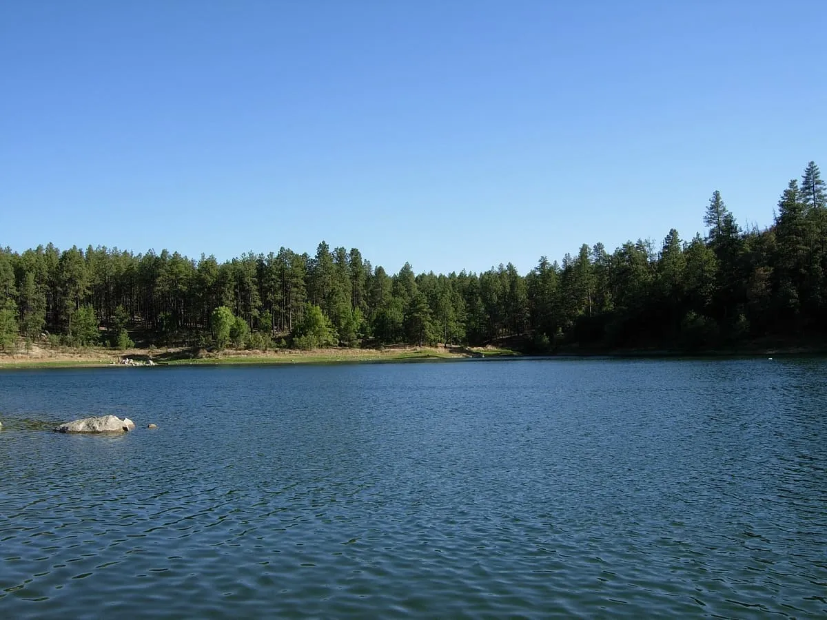
- Granite Basin Lake is a reservoir located near Prescott, in Yavapai County, North Central Arizona. It is in the Prescott National Forest, adjacent to the Granite Mountain Wilderness Area.

6.6 miles away
Sharlot Hall Museum
Housed in the former Territorial Governor’s Mansion, this museum has exhibits illustrating the early history in the area of Native Americans and settlers. Its library and archives are open to the public, and it hosts numerous public festivals and lectures. There is also a gift shop onsite.
7.0 miles away
Granite Mountain
Granite Mountain (Yavapai: ʼWi:kvte:wa) is a 7,628-foot (2,325 m) mountain located in Yavapai County, Arizona that covers roughly 12 square miles (31 km2). It was once known as Mount Gurley, for the first governor of the Arizona Territory, John A. Gurley.7.5 miles away
Museum of Indigenous People (formerly Smoki Museum of American Indian Art and Culture)
Rotating exhibits illustrated history and culture of regional Native American tribes. This plucky trove of local archaeology has a fascinating history. The "Smoki" name was invented by local settlers, not natives, as a made-up tribe which put on annual shows with appropriated Hopi rituals. From this, the archaeology grew, and the museum was founded in 1935.
7.9 miles away
Fort Whipple
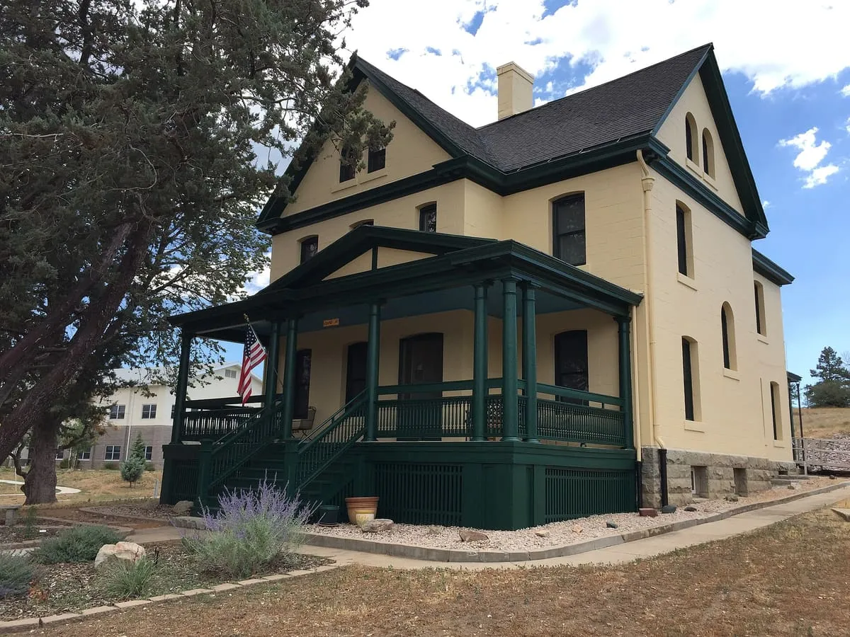
Fort Whipple is a former United States (U.S.) Army post that was temporarily established at Del Rio Springs, north of present-day Chino Valley, Arizona, and later relocated to a permanent site near present-day Prescott, Arizona.
8.5 miles away
Goldwater Lake
Goldwater Lake is a reservoir formed by a dam on Banning Creek, located south of Prescott in North Central Arizona. This lake is maintained by the City of Prescott Parks and Recreation Department. The park has facilities for picnicking, fishing, boating, hiking, volleyball, and horseshoes.