8.1 miles away
Tip Top
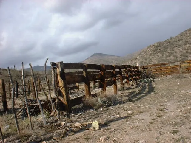
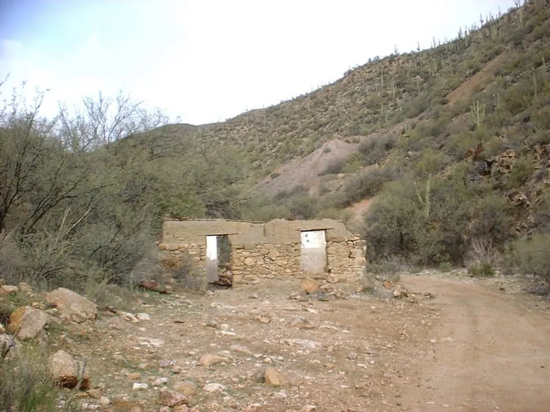
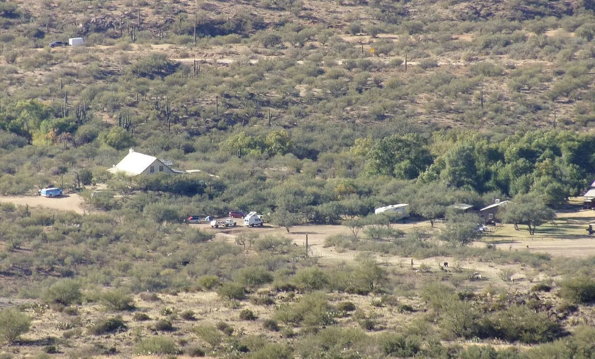
Tip Top is a ghost town in Yavapai County in the U.S. state of Arizona. The town was settled in 1876 in what was then the Arizona Territory.

Facts and sources
Place
- Category
- Historic Site
- Destination
- Anthem
- County
- Yavapai County
- State
- Arizona
Visitation
- Annual visits
- Not published
Ranking
- Overall score
- 43.1 / 100
- Visitation score
- No published count
- Popularity score
- 25.1
- Significance score
- 58.0
- Confidence
- medium
Visiting
- Coordinates
- 34.0508, -112.2469
- Last verified
- 2026-08-12
Where it is
Tip Top is a historic site near Anthem, in Yavapai County. It is one of the historic sites in this database, and appears in the statewide ranking of Arizona attractions.
How this ranking was reached
This place scores 43.1 out of 100, at medium confidence. No official visitor count is published for it, so the score rests on public interest and tourism significance, and is capped below the level a measured attraction can reach. The weighting is explained in full on the methodology page.
Note on the data: No official visitor count is published for this attraction.
Sources
- Description: Wikipedia(opens in a new tab), used under CC BY-SA 4.0(opens in a new tab)
- Public interest: Wikimedia pageviews (en.wikipedia, human traffic), 2024
- Coordinates and designations: Wikidata(opens in a new tab)
- County: U.S. Census geography via FCC Area API, resolved from coordinates
Record last verified 2026-08-12.
Nearby attractions
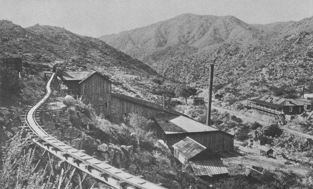
- Castle Hot Springs is a restored historic resort in Morristown, Arizona. The original property opened in 1896 and the historic hotel claims the title of state's first wellness resort. It is listed on the National Register of Historic Places.
10 miles away
Lake Pleasant Regional Park
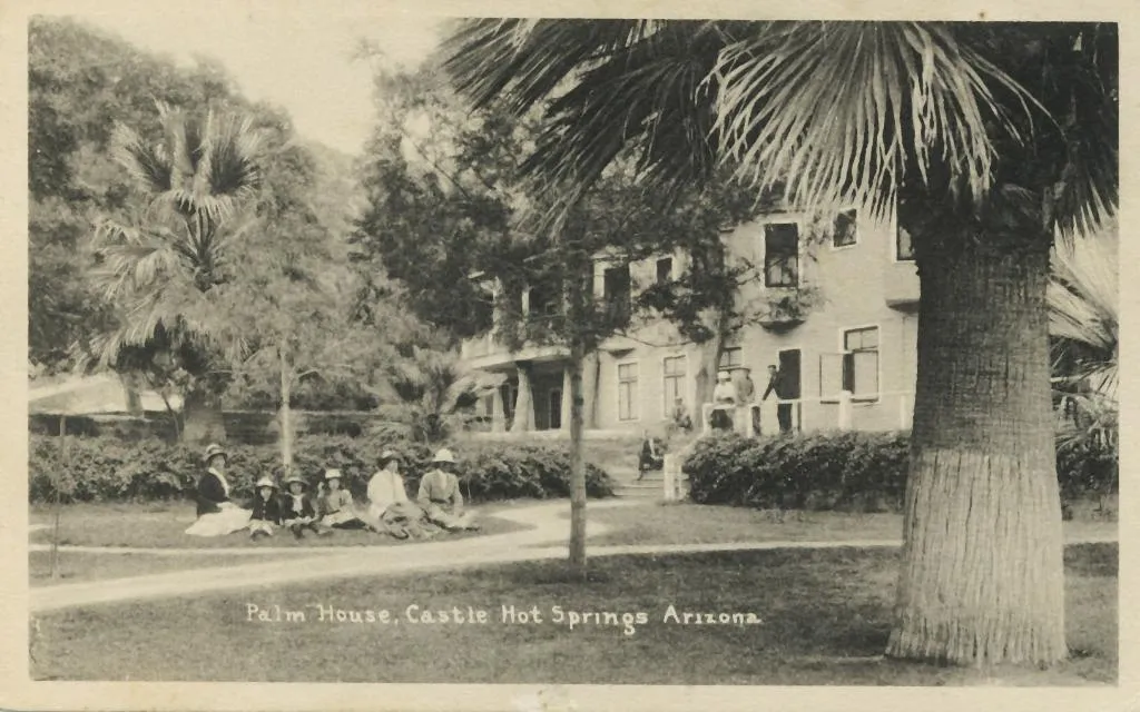
Lake Pleasant Regional Park is a large outdoors recreation area straddling the Maricopa and Yavapai county border northwest of Phoenix, Arizona. The park is located within the municipal boundaries of Peoria, Arizona, and serves as a major recreation hub for the northwest Phoenix metropolitan area. It is operated by the Maricopa County Parks and Recreation Department.
11 miles away
Indian Mesa
Indian Mesa is a flat top hill whose sides are steep cliffs. Indian Mesa is located within the Lake Pleasant Regional Park grounds by the shores of Lake Pleasant and Agua Fria River in the Bradshaw Mountain Range. Lake Pleasant Regional Park is within the municipal boundaries of Peoria, Arizona.
12 miles away
Bumble Bee
Bumble Bee is a ghost town in the Bradshaw Mountains of Yavapai County, Arizona, United States, named for nearby Bumble Bee Creek. The townsite area is commonly used by RV campers in winter.
12 miles away
Agua Fria National Monument
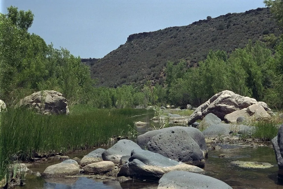
Agua Fria National Monument is in the U.S. state of Arizona, approximately 40 miles (64 km) north of downtown Phoenix, Arizona. Created by Presidential proclamation on January 11, 2000, the 72,344-acre (113 sq mi; 293 km2) monument is managed by the Bureau of Land Management, an agency within the U.S.
14 miles away
New Waddell Dam
The New Waddell Dam is an embankment dam on the Agua Fria River in Maricopa County, Arizona, 35 miles (56 km) northwest of Phoenix. It serves as part of the Central Arizona Project (CAP) while also providing water for the Maricopa Water District. The dam creates Lake Pleasant with water from the Agua Fria and also the CAP aqueduct.