1.1 miles away
Soap Creek Trail
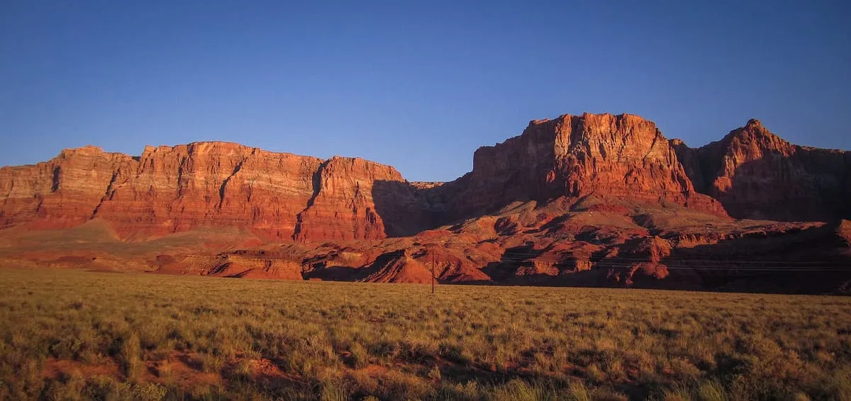
Soap Creek Trail, in Vermilion Cliffs National Monument, Arizona.
Facts and sources
Place
- Category
- Natural Landmark
- Destination
- Vermilion Cliffs National Monument
- County
- Coconino County
- State
- Arizona
Visitation
- Annual visits
- Not published
Ranking
- Overall score
- 25.5 / 100
- Visitation score
- No published count
- Popularity score
- No data
- Significance score
- 58.0
- Confidence
- low
Visiting
- Coordinates
- 36.7299, -111.7547
- Last verified
- 2026-08-12
Where it is
Soap Creek Trail is a natural landmark near Vermilion Cliffs National Monument, in Coconino County. It is one of the natural landmarks in this database, and appears in the statewide ranking of Arizona attractions.
How this ranking was reached
This place scores 25.5 out of 100, at low confidence. No official visitor count is published for it, so the score rests on public interest and tourism significance, and is capped below the level a measured attraction can reach. The weighting is explained in full on the methodology page.
Note on the data: No official visitor count is published for this attraction.
Sources
- Coordinates and designations: Wikivoyage(opens in a new tab)
- County: U.S. Census geography via FCC Area API, resolved from coordinates
Record last verified 2026-08-12.
Nearby attractions
- Cliff Dwellers Stone House, in Vermilion Cliffs National Monument, Arizona.
4.0 miles away
Vermilion Cliffs Trail
Vermilion Cliffs Trail, in Vermilion Cliffs National Monument, Arizona.
5.3 miles away
Vermilion Cliffs National Monument
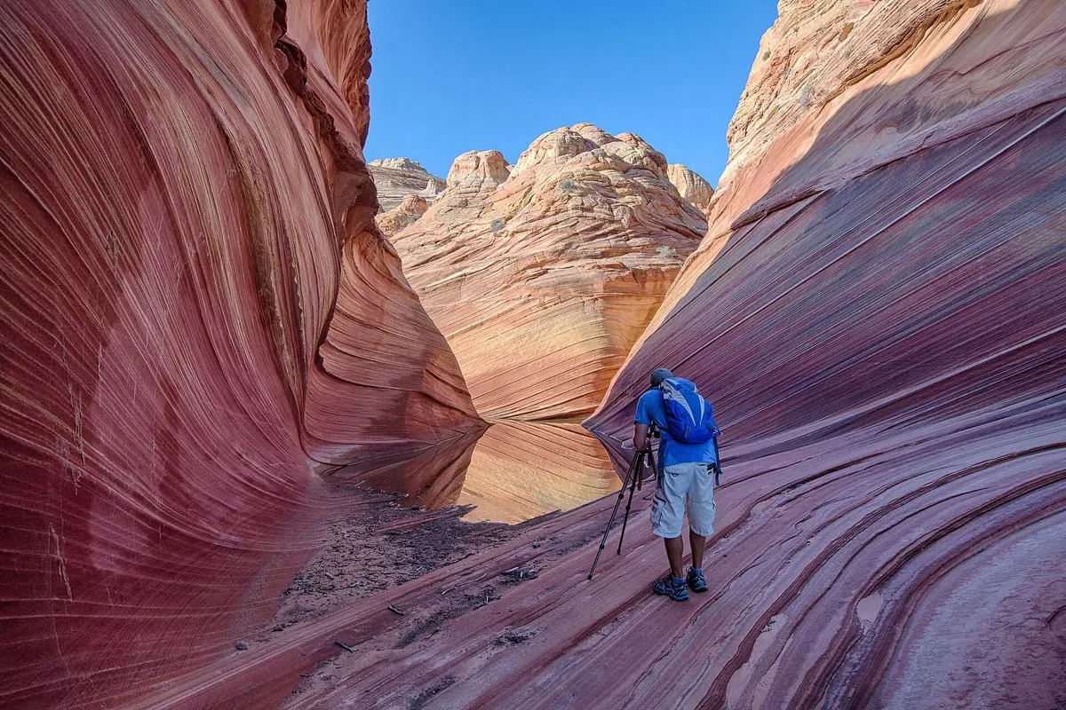
The famous "wave" is here. Only twenty people per day are permitted to visit: ten by online application months in advance, and ten by lottery at the Grand Staircase-Escalante Visitor Center here in Kanab. If you can't get the permit, don't worry, the national monument includes other beautiful scenery too.
9.1 miles away
Navajo Bridges
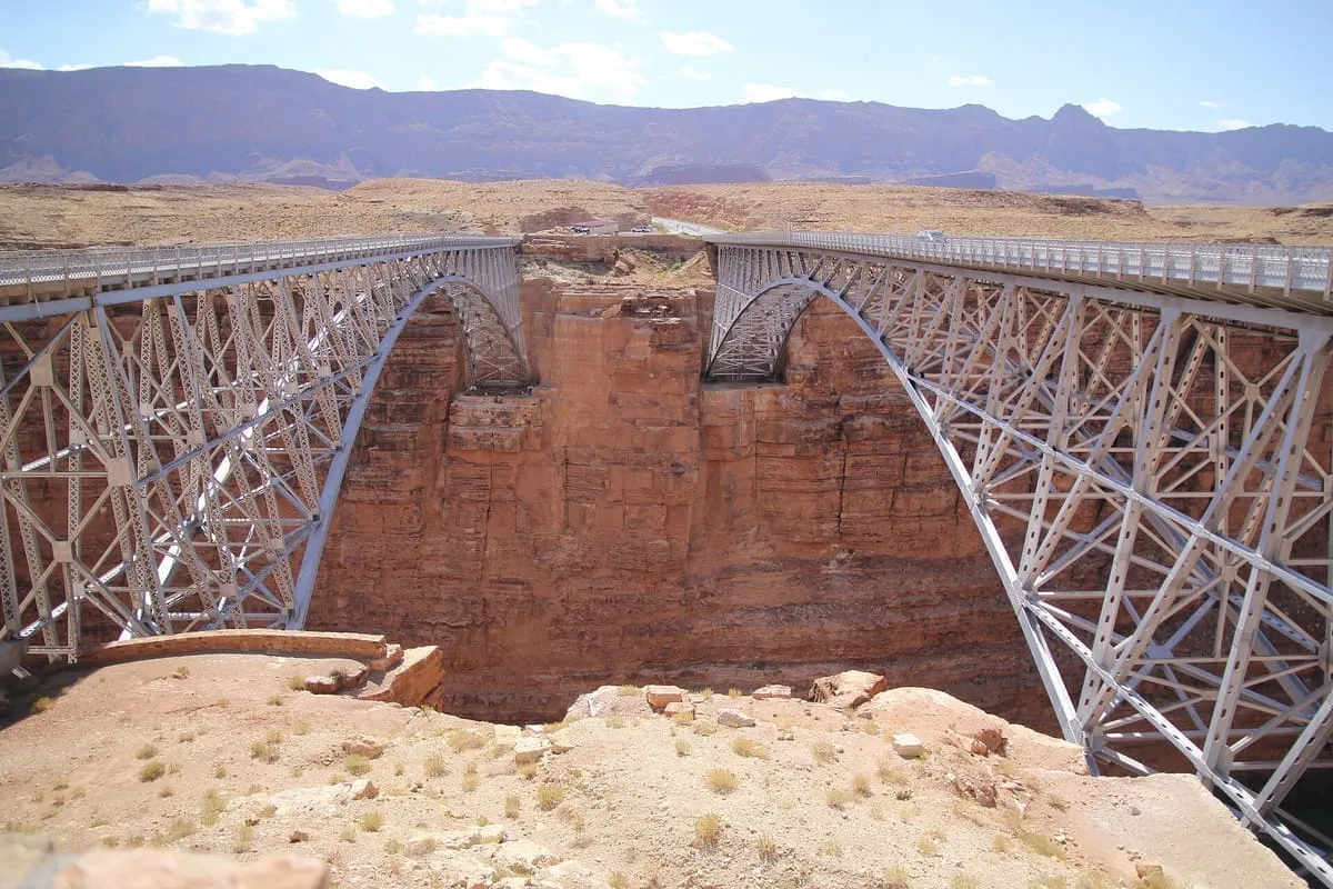
Navajo Bridge is the name of twin steel spandrel arch bridges that cross the Colorado River in the Grand Canyon National Park (near Lees Ferry) in northern Coconino County, Arizona, United States. The newer of the two spans carries vehicular traffic on U.S. Route 89A (US 89A) over Marble Canyon between Bitter Springs and Jacob Lake, allowing travel into a remote Arizona Strip region north of the Colorado River including the North Rim of Grand Canyon National Park.9.6 miles away
Cathedral Wash Trail
Cathedral Wash Trail, in Vermilion Cliffs National Monument, Arizona.
12 miles away
Paria Canyon-Vermilion Cliffs Wilderness
The Paria Canyon-Vermilion Cliffs Wilderness is a 112,500 acres (455 km2) wilderness area located in northern Arizona and southern Utah, United States, within the arid Colorado Plateau region. The wilderness is composed of broad plateaus, tall escarpments, and deep canyons. The Paria River flows through the wilderness before joining the Colorado River at Lee's Ferry, Arizona.