Apache-Sitgreaves National Forests
A 2.76-million-acre national forest along the Mogollon Rim and White Mountains, managed as one unit from Springerville.
- Rank in Arizona
- #135of 727 ranked
- Overall score
- Score 49.2 out of 100medium confidence
- Category
- Natural Landmark
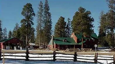
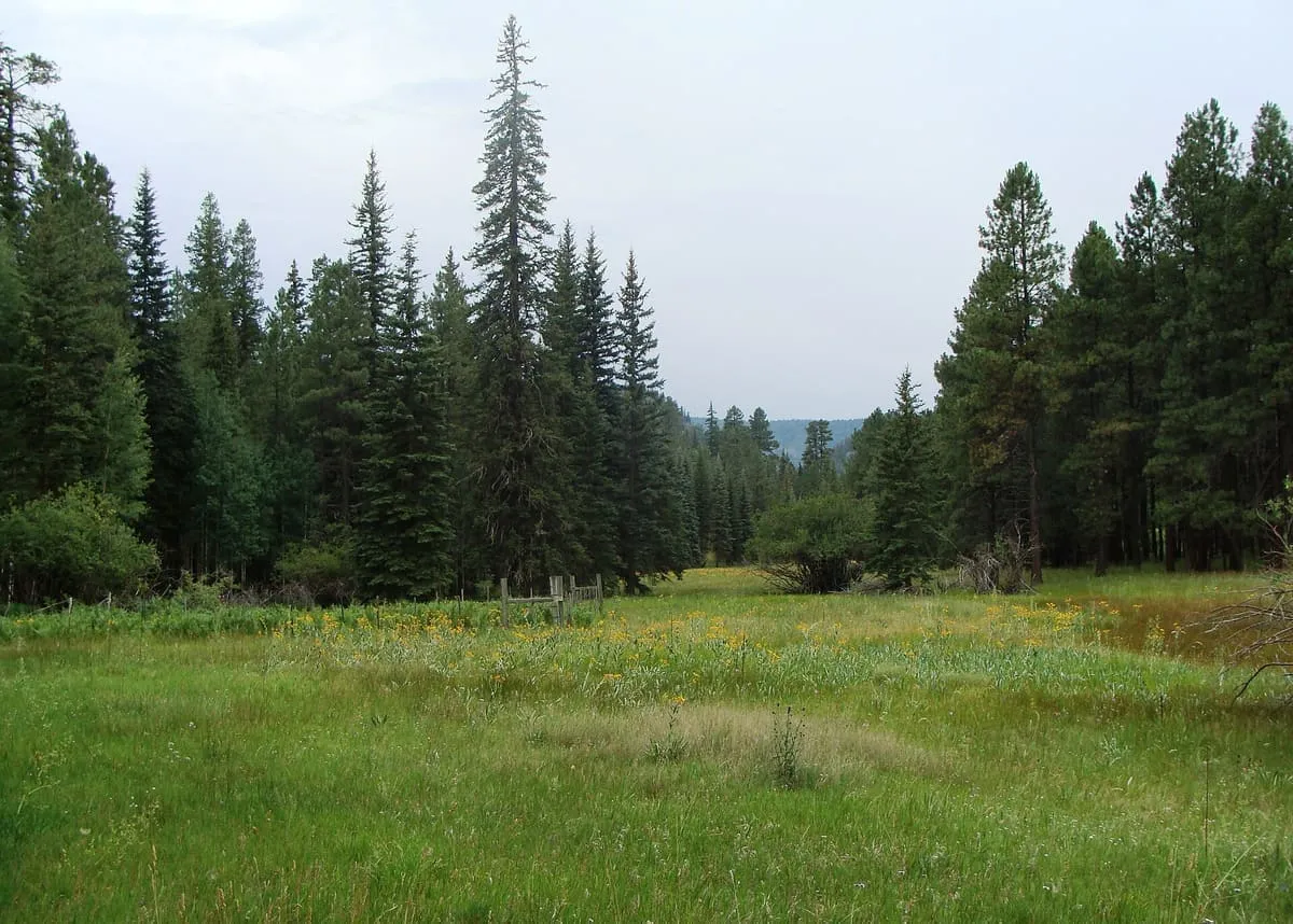
The Apache–Sitgreaves National Forests are a 2.76-million-acre United States national forest running along the Mogollon Rim and the White Mountains in east-central Arizona and into New Mexico. Formerly two separate forests, they are managed as one unit by the USDA Forest Service from the Forest Supervisor's Office in Springerville. The forest is divided into five ranger districts — Clifton, Alpine, Springerville, Lakeside and Black Mesa — spanning almost 300 miles from Clifton in east-central Arizona to the eastern boundary of the Coconino National Forest. The Sitgreaves portion, 818,651 acres, lies to the north of the Fort Apache Indian Reservation and entirely within Arizona, in Navajo, Apache and Coconino counties. The larger Apache portion, 1,813,601 acres, lies east of the Fort Apache and San Carlos reservations and extends across the New Mexico state line into Catron County. Over 400 species of wildlife have been recorded in the forests.
Where it is
Apache-Sitgreaves National Forests is a natural landmark near St. Johns, in Greenlee County. It is one of the natural landmarks in this database, and appears in the statewide ranking of Arizona attractions.
How this ranking was reached
No official visitor count is published for Apache-Sitgreaves National Forests, so its score rests on public interest and tourism significance, and is capped below the level a measured attraction can reach. That is why the medium confidence above is not higher. The weighting is explained in full on the methodology page, and every axis is broken out under Facts and sources at the foot of this page.
Note on the data: No official visitor count is published for this attraction.
Sources
- Public interest: Wikimedia pageviews (en.wikipedia, human traffic), 2024
- Coordinates and designations: Wikidata(opens in a new tab)
- County: U.S. Census geography via FCC Area API, resolved from coordinates
- Official site: http://www.fs.usda.gov/asnf(opens in a new tab)
Record last verified 2026-08-12.
More photographs
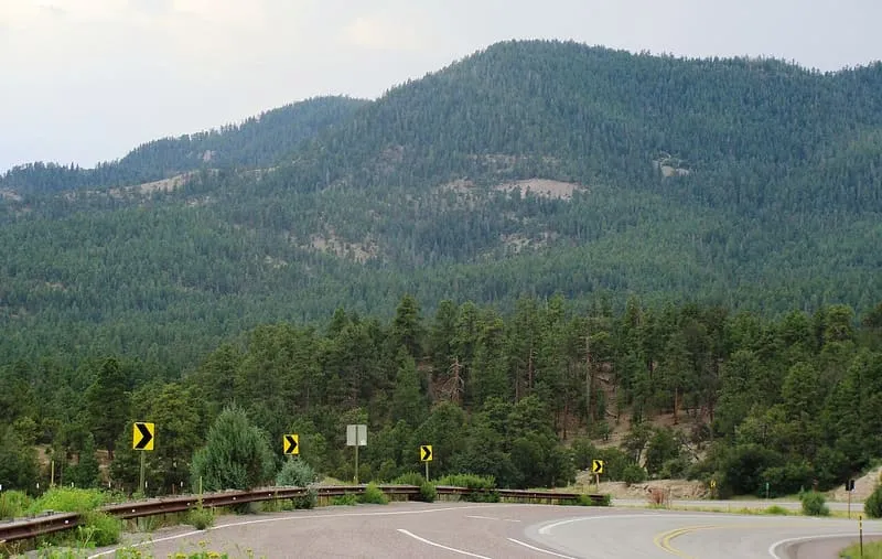
Zereshk, CC BY-SA 3.0 · licence(opens in a new tab) · source(opens in a new tab) 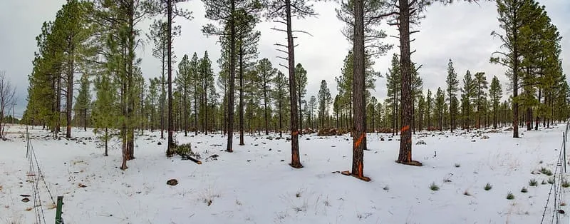
Public domain · source(opens in a new tab)
Nearby attractions
19 miles away
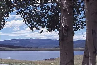
Big Lake
A trout reservoir in the White Mountains of Apache County, managed by the Apache-Sitgreaves National Forests and frozen over each winter.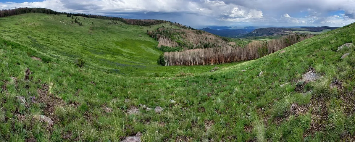
22 miles away
Escudilla Mountain
The third-highest mountain peak in Arizona, in the White Mountains, where the state's last grizzly bear was killed in 1936.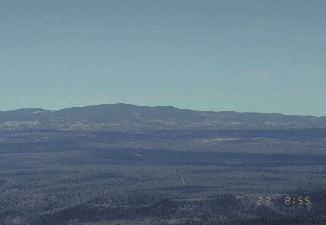
24 miles away
Mount Baldy
An extinct stratovolcano of 11,409 feet in eastern Arizona, the highest point in Apache County and among the most sacred to the Apache.
24 miles away
White Mountains
A mountainous region of eastern Arizona rising to Mount Baldy at 11,400 feet, much of it within the Fort Apache Indian Reservation.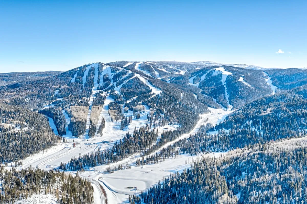
26 miles away
Sunrise Park Resort
The largest ski resort in Arizona, its runs spread over 1,200 acres and three peaks in the White Mountains near Greer.
Facts and sources
Place
- Category
- Natural Landmark
- Destination
- St. Johns
- County
- Greenlee County
- State
- Arizona
Visitation
- Annual visits
- Not published
Ranking
- Overall score
- 49.2 / 100
- Visitation score
- No published count
- Popularity score
- 38.6
- Significance score
- 58.0
- Confidence
- medium
Visiting
- Official website
- fs.usda.gov(opens in a new tab)
- Coordinates
- 33.6372, -109.2880
- Last verified
- 2026-08-12