8.3 miles away
Aztec ghost town
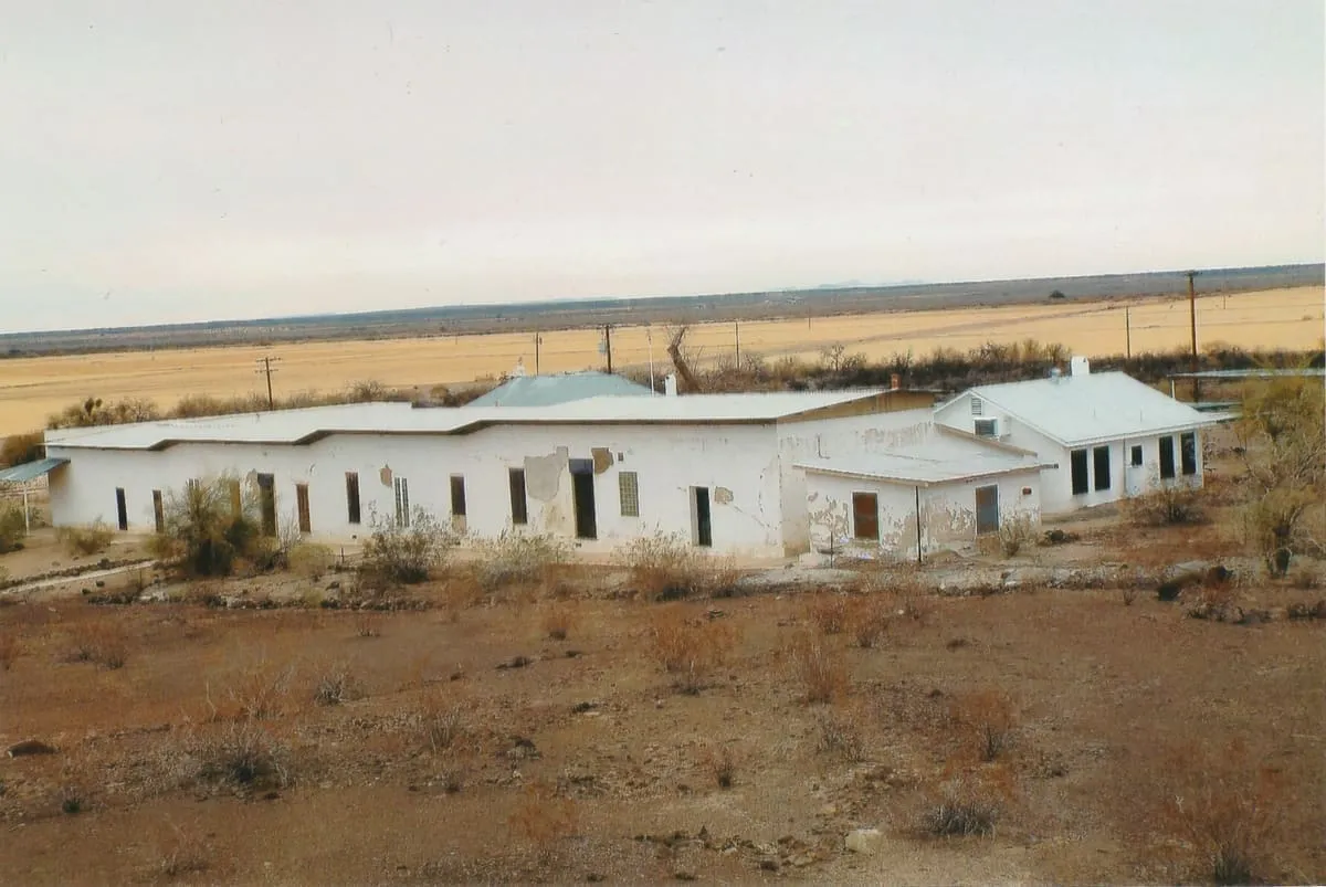
A former station on the Southern Pacific Railroad line between Phoenix and Yuma. Remains include two standing buildings and foundations, visible right off the interstate.
Facts and sources
Place
- Category
- Historic Site
- Destination
- Dateland
- County
- Yuma County
- State
- Arizona
Visitation
- Annual visits
- Not published
Ranking
- Overall score
- 25.5 / 100
- Visitation score
- No published count
- Popularity score
- No data
- Significance score
- 58.0
- Confidence
- low
Visiting
- Coordinates
- 32.8261, -113.4420
- Last verified
- 2026-08-12
Where it is
Aztec ghost town is a historic site near Dateland, in Yuma County. It is one of the historic sites in this database, and appears in the statewide ranking of Arizona attractions.
How this ranking was reached
This place scores 25.5 out of 100, at low confidence. No official visitor count is published for it, so the score rests on public interest and tourism significance, and is capped below the level a measured attraction can reach. The weighting is explained in full on the methodology page.
Note on the data: No official visitor count is published for this attraction.
Sources
- Description: Wikivoyage(opens in a new tab), used under CC BY-SA 4.0(opens in a new tab)
- Coordinates and designations: Wikivoyage(opens in a new tab)
- County: U.S. Census geography via FCC Area API, resolved from coordinates
Record last verified 2026-08-12.
Nearby attractions
- Hundreds of petroglyphs can be seen on the basalt outcrops overlooking the Gila River; many can be spotted from the parking lot. The site is managed by the Bureau of Land Management. Keep your car on the road, and stay on the footpaths (not maintained).

13 miles away
Agua Caliente
Agua Caliente in Maricopa County, Arizona on the border with Yuma County, is a place north of the Gila River near Hyder, Arizona. Named 'Santa Maria del Agua Caliente' in 1744 by Father Jacob Sedelmayer. In 1775, Father Francisco Garces used the current short form.14 miles away
Camp Hyder
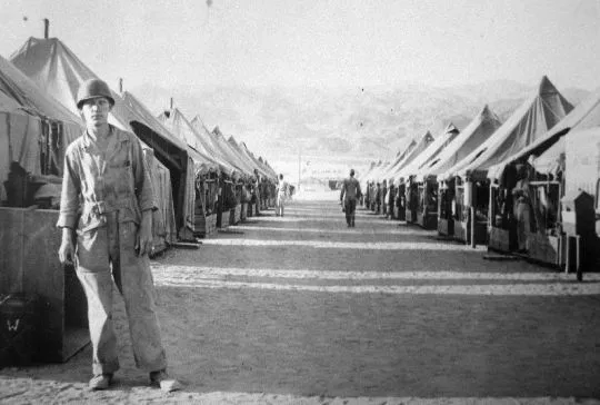
Camp Hyder was a US Army installation in Arizona, functioning as a subcamp of the Desert Training Center in Riverside County, California. The main headquarters for the Desert Training Center was Camp Young, this is where General Patton's 3rd Armored Division was stationed. Camp Hyder is 2 miles (3.2 km) miles south of Hyder, Arizona.
27 miles away
Painted Rock Petroglyph Site
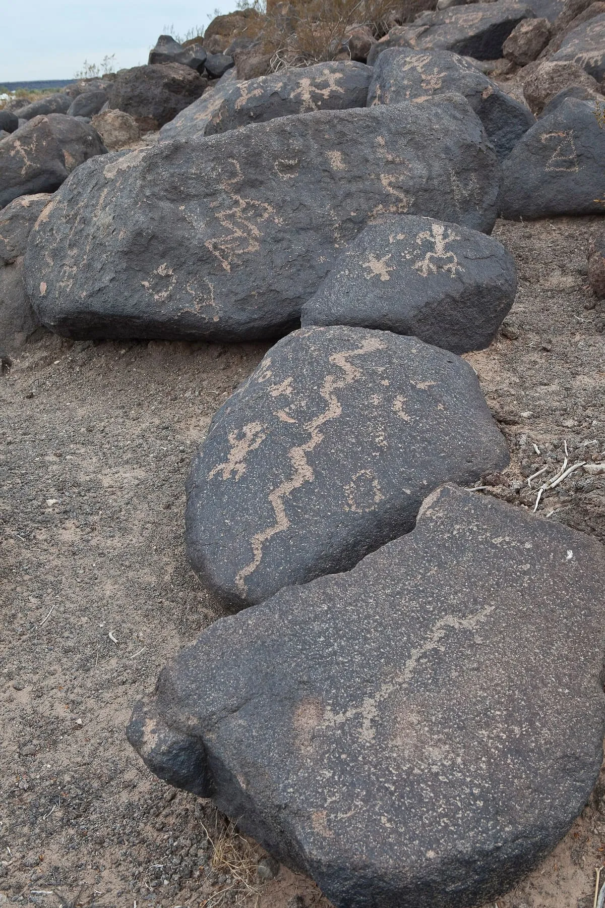
This archeological site contains hundreds of pre-Columbian petroglyphs and is managed by the Bureau of Land Management. Picnic tables and vaulted toilets available, primitive camping possible (no water). Most heavily visited from October to April; watch out for rattlesnakes.
30 miles away
Painted Rock Dam
The Painted Rock Dam is an earthfill embankment dam located west of Gila Bend, Arizona. It is primarily used for flood control purposes.
35 miles away
Cabeza Prieta National Wildlife Refuge
Cabeza Prieta National Wildlife Refuge (CPNWR) is located in southwestern Arizona in the United States, along 56 miles (90 km) of the Mexico–United States border. It is bordered to the north and to the west by the Barry M. Goldwater Air Force Range, to the south by Mexico's El Pinacate y Gran Desierto de Altar Biosphere Reserve, to the northeast by the town of Ajo, and to the southeast by Organ Pipe Cactus National Monument.