17 miles away
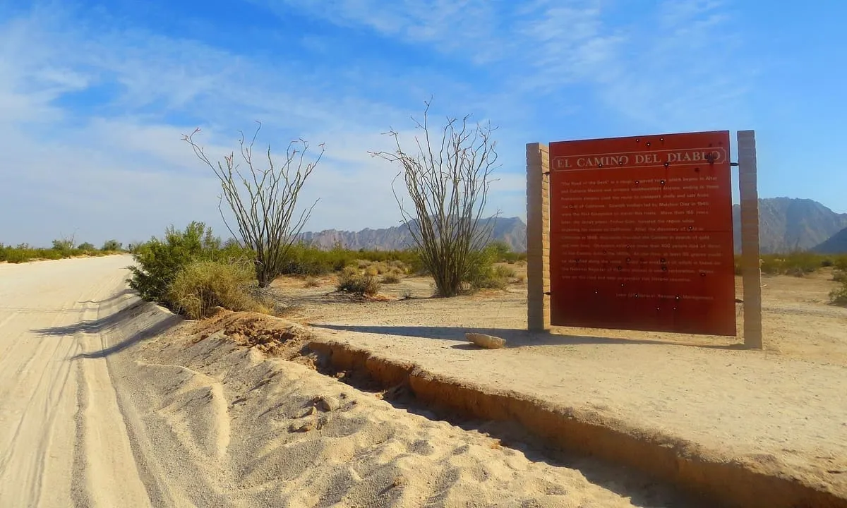
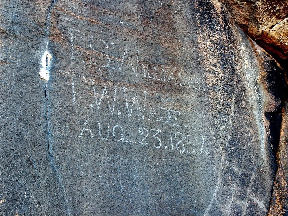
El Camino Del Diablo
A 250-mile historic road across the Sonoran Desert in Pima and Yuma counties, listed on the National Register in 1978.
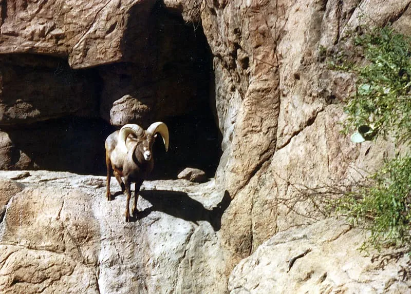
An 860,010-acre refuge along the Mexican border, established in 1939 for desert bighorn sheep and the third largest in the lower 48 states.
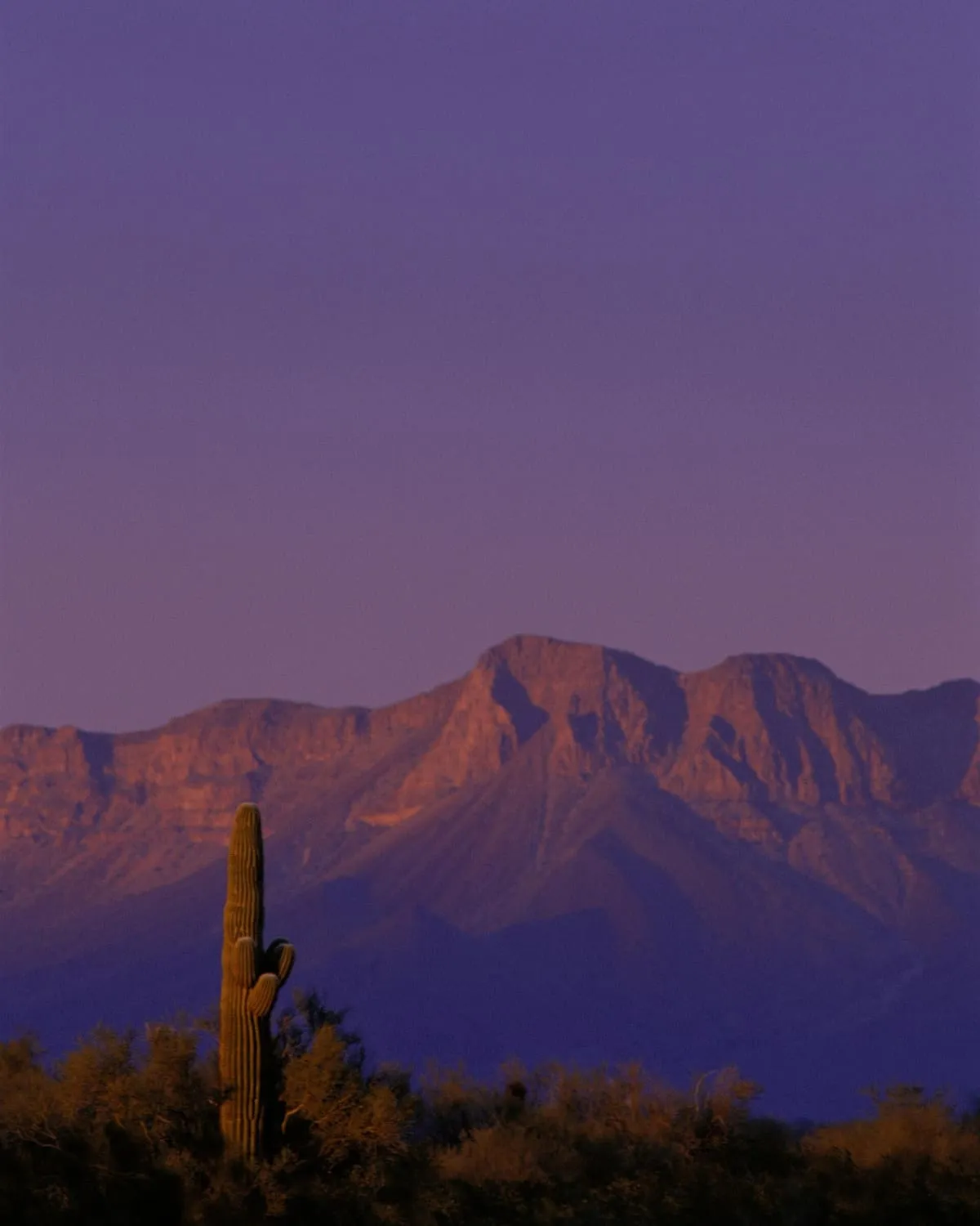
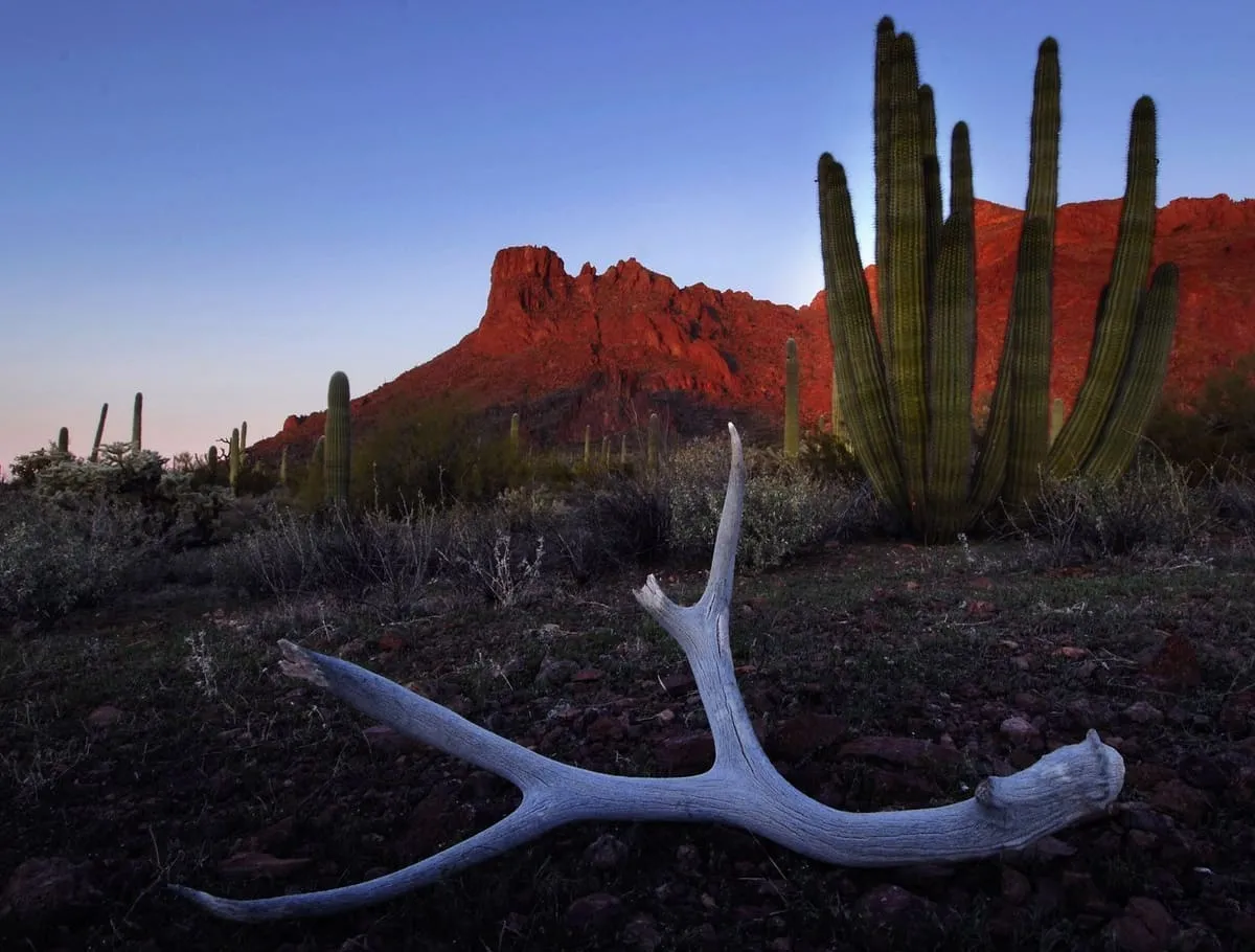
Cabeza Prieta National Wildlife Refuge is in south-western Arizona, along 56 miles of the border with Mexico. It is bordered to the north and west by the Barry M. Goldwater Air Force Range, to the south by Mexico's El Pinacate y Gran Desierto de Altar Biosphere Reserve, to the north-east by the town of Ajo and to the south-east by Organ Pipe Cactus National Monument. It lies within the Yuma Desert, a lower-elevation section of the Sonoran Desert, and was originally established in 1939 to protect desert bighorn sheep; it is home to more than 275 species of animals and nearly 400 species of plants. Its total area of 860,010 acres, greater than that of the state of Rhode Island, makes it the third largest national wildlife refuge in the lower 48 states. It is administered from a small headquarters building in Ajo. The area is an active corridor for illegal entry and smuggling into the United States, and since 2017 the remains of at least forty people who died crossing it, from lack of water or extreme temperatures, have been found there.
Cabeza Prieta National Wildlife Refuge is a natural landmark near Ajo, in Yuma County. It is one of the natural landmarks in this database, and appears in the statewide ranking of Arizona attractions.
No official visitor count is published for Cabeza Prieta National Wildlife Refuge, so its score rests on public interest and tourism significance, and is capped below the level a measured attraction can reach. That is why the medium confidence above is not higher. The weighting is explained in full on the methodology page, and every axis is broken out under Facts and sources at the foot of this page.
Note on the data: No official visitor count is published for this attraction.
Record last verified 2026-08-12.

17 miles away
30 miles away

33 miles away
35 miles away
43 miles away
45 miles away