4.7 miles away
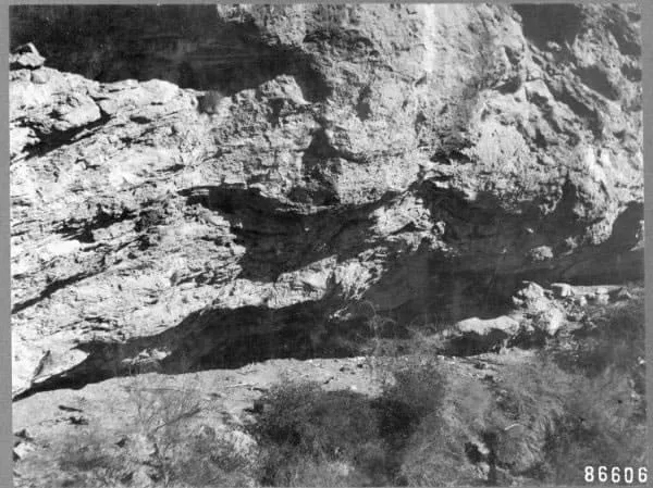
Skeleton Cave
A cave in the Salt River Canyon Wilderness, site of the 1872 massacre of Yavapai people and listed on the National Register in 1991.
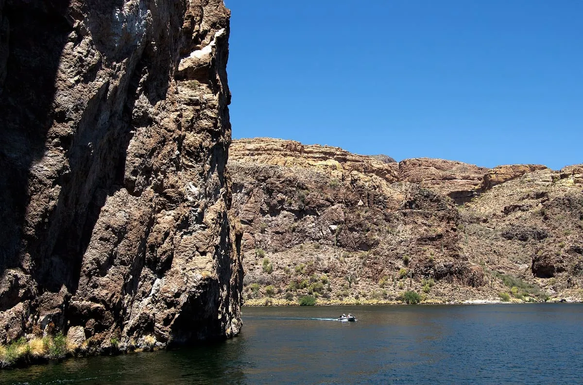
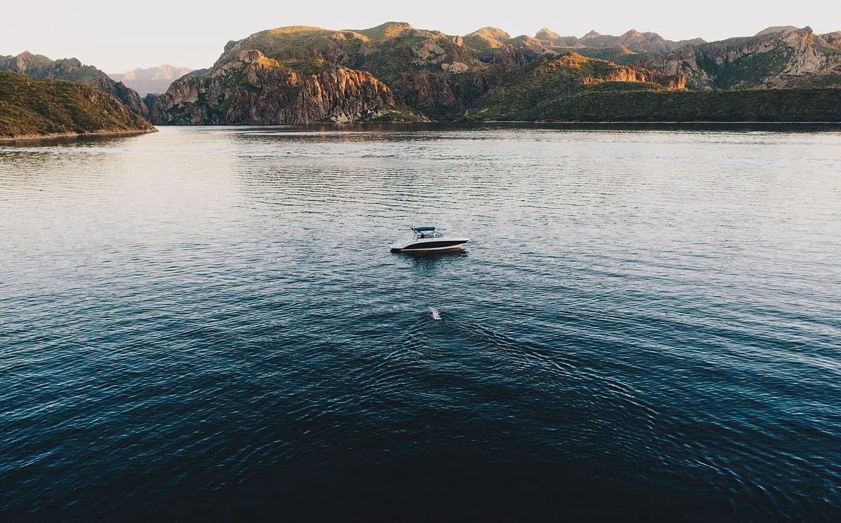
The smallest of four Salt River reservoirs, formed by Mormon Flat Dam in 1925 and covering 950 acres in the Superstition Wilderness.
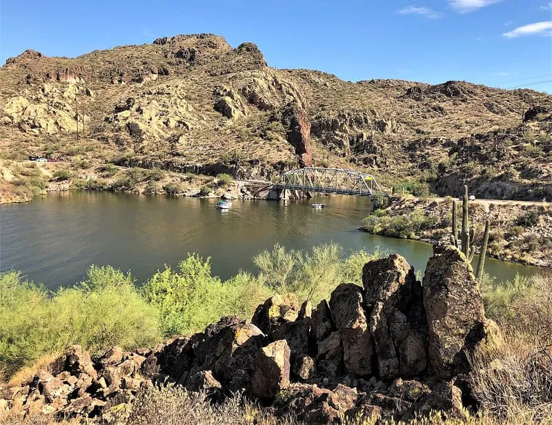
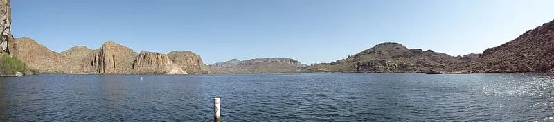
Canyon Lake is one of four reservoirs formed by the damming of the Salt River as part of the Salt River Project. It was created by Mormon Flat Dam, completed in 1925 after two years of construction, and with a surface area of 950 acres is the third and smallest of the four. Apache Lake and Roosevelt Lake lie upstream and Saguaro Lake downstream. The lake is about 15 miles up the Apache Trail from Apache Junction and 51 miles east of Phoenix, within the Superstition Wilderness of the Tonto National Forest. Its hiking trails, camping and boating facilities are managed by the United States Forest Service, and it lies on the Apache Trail, Arizona State Route 88, which continues past Tortilla Flat to Apache Lake and Roosevelt Lake behind Theodore Roosevelt Dam. In 2022 a fish kill caused by golden algae affected 100,000 fish.
Canyon Lake is a natural landmark near Apache Junction, in Maricopa County. It is one of the natural landmarks in this database, and appears in the statewide ranking of Arizona attractions.
No official visitor count is published for Canyon Lake, so its score rests on public interest and tourism significance, and is capped below the level a measured attraction can reach. That is why the medium confidence above is not higher. The weighting is explained in full on the methodology page, and every axis is broken out under Facts and sources at the foot of this page.
Note on the data: No official visitor count is published for this attraction.
Record last verified 2026-08-12.
4.7 miles away
5.4 miles away
6.5 miles away
6.8 miles away
7.4 miles away
7.6 miles away