0.8 miles away
Superstition Mountain Museum
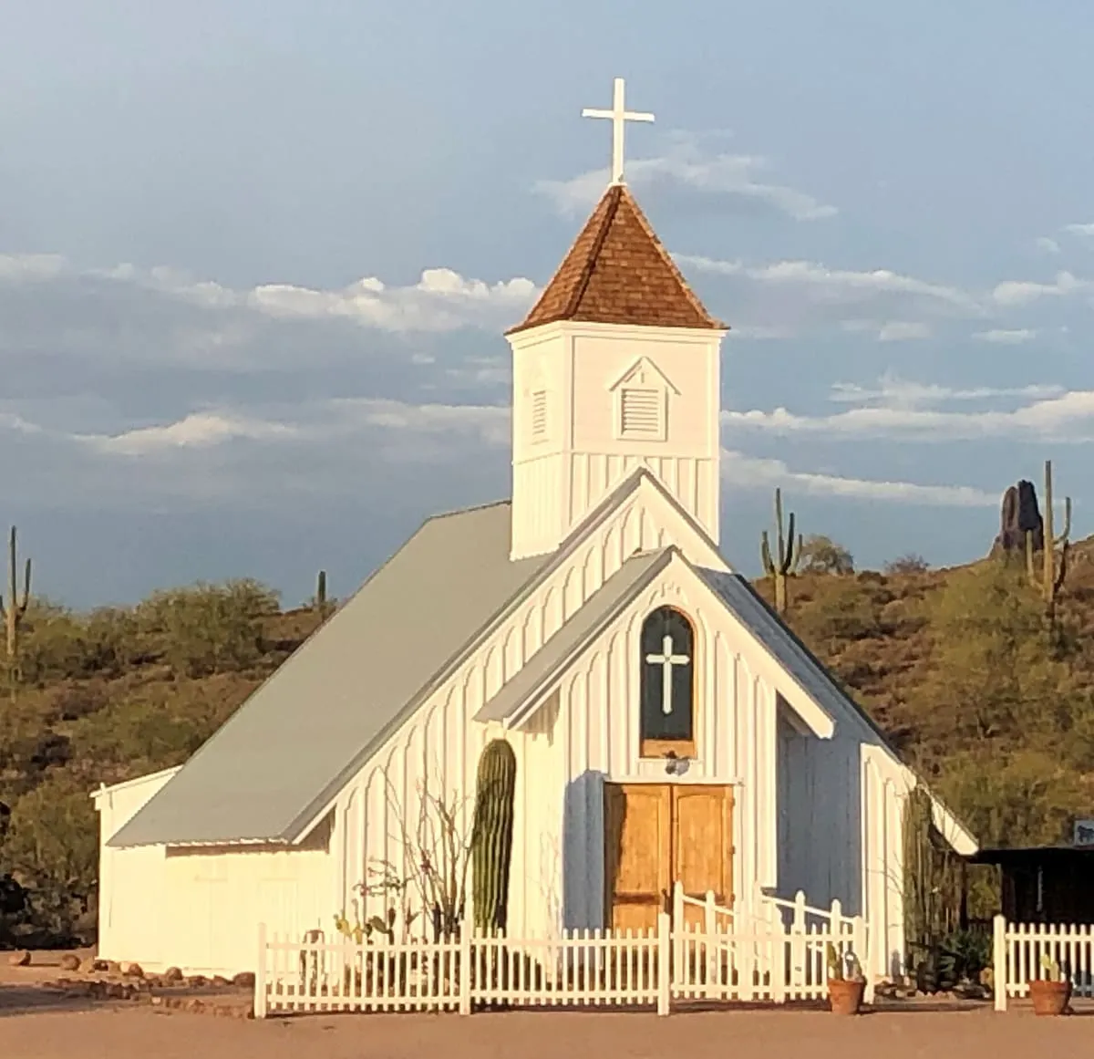
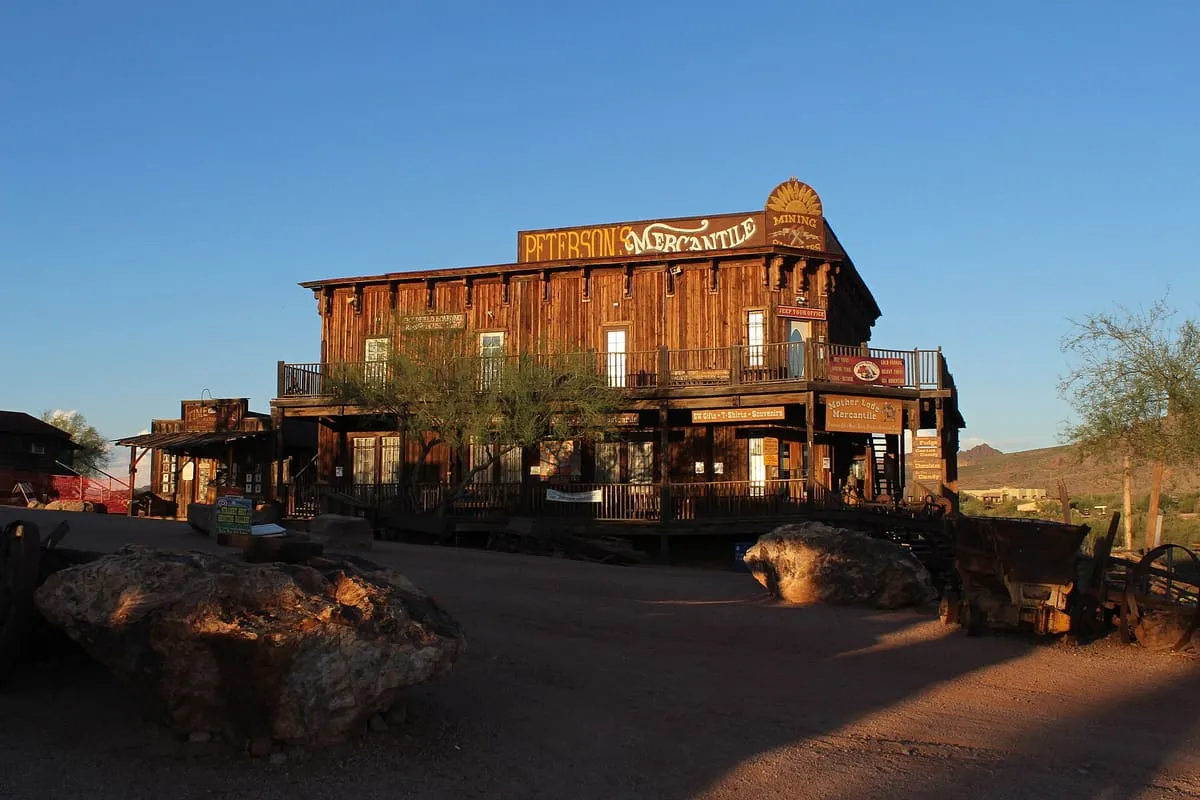
This museum covers an area of 12.5 acres with a variety of exhibits illustrating the history of the area, from pre-Columbian times until the early 20th century. Onsite are reproductions of an old west town, as well as the reconstructed Elvis Memorial Chapel and the Audie Murphy Barn, which were moved here following a fire at their original locations.
Facts and sources
Place
- Category
- Museum
- Destination
- Apache Junction
- County
- Pinal County
- State
- Arizona
Visitation
- Annual visits
- Not published
Ranking
- Overall score
- 24.2 / 100
- Visitation score
- No published count
- Popularity score
- No data
- Significance score
- 55.0
- Confidence
- low
Visiting
- Official website
- superstitionmountainmuseum.org(opens in a new tab)
- Coordinates
- 33.4472, -111.5016
- Last verified
- 2026-08-12
Where it is
Superstition Mountain Museum is a museum near Apache Junction, in Pinal County. It is one of the museums in this database, and appears in the statewide ranking of Arizona attractions.
How this ranking was reached
This place scores 24.2 out of 100, at low confidence. No official visitor count is published for it, so the score rests on public interest and tourism significance, and is capped below the level a measured attraction can reach. The weighting is explained in full on the methodology page.
Note on the data: No official visitor count is published for this attraction.
Sources
- Description: Wikivoyage(opens in a new tab), used under CC BY-SA 4.0(opens in a new tab)
- Coordinates and designations: Wikivoyage(opens in a new tab)
- County: U.S. Census geography via FCC Area API, resolved from coordinates
- Official site: http://superstitionmountainmuseum.org/(opens in a new tab)
Record last verified 2026-08-12.
Nearby attractions
- A former ghost town established in 1893, which has been completely renovated and turned into a tourist attraction, complete with staged gunfights. Onsite is a small historic museum ($1), a narrow gauge railroad, livery stables, gold-panning exhibit, and reconstructed bordello.

3.5 miles away
Superstition Wilderness
Managed by the Tonto National Forest Service, this rugged wilderness area encompasses the Superstition Mountain range and offers a number of outstanding hiking trails, many also suitable for equestrians. Dispersed camping is permitted.
6.3 miles away
Superstition Mountain
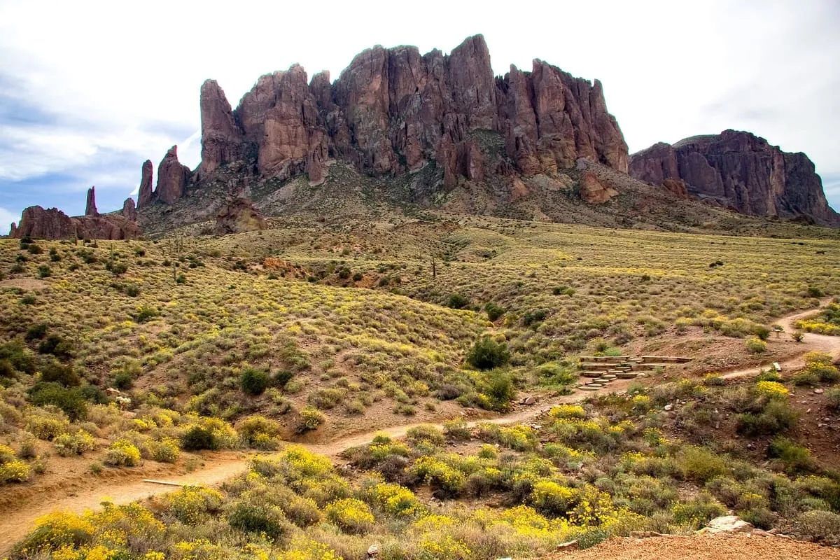
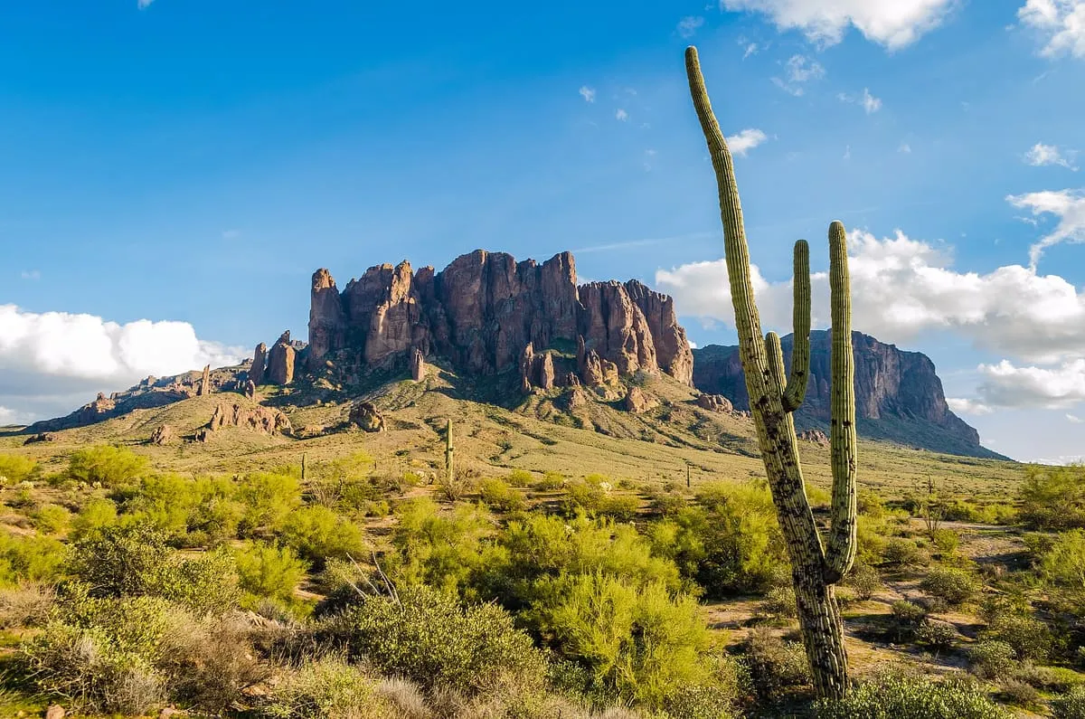
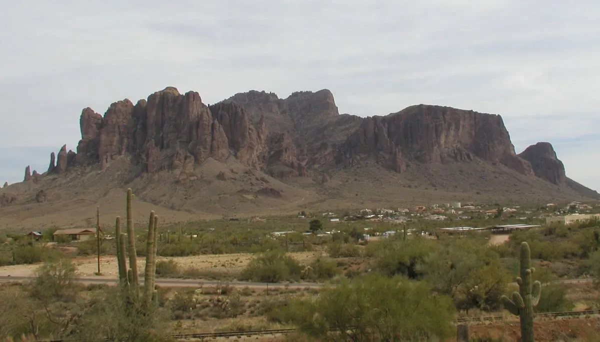
Superstition Mountain (Yavapai: Wi:kchsawa, O'odham: Gakoḍk) is a prominent mountain and regional landmark located in the Phoenix metropolitan area of Arizona, immediately east of Apache Junction and north of Gold Canyon. It anchors the west end of the Superstition Mountains (within the federally designated Superstition Wilderness Area) and is a popular outdoor recreation destination, home to numerous trails for hiking and horseback riding. The legend of the Lost Dutchman's Gold Mine centers around the mountain.
7.6 miles away
Weaver's Needle
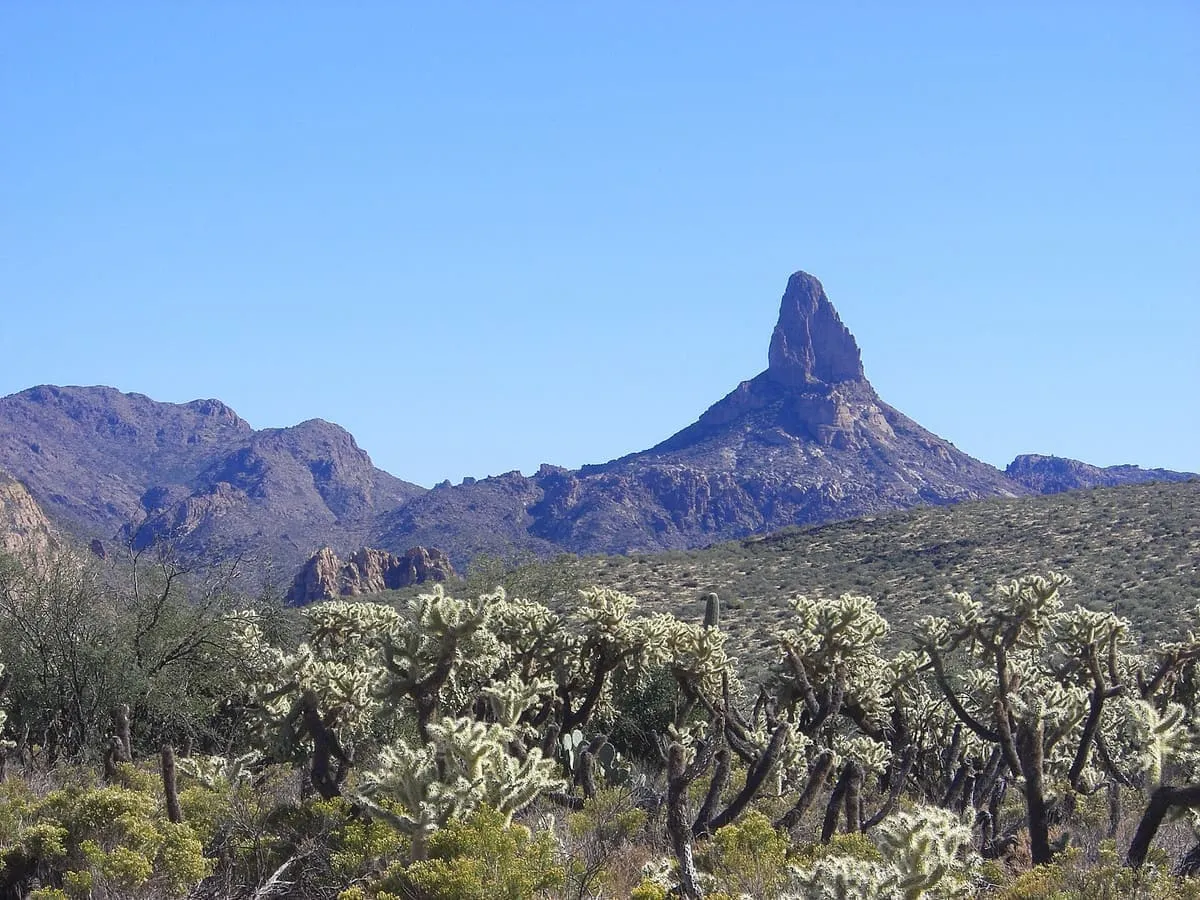
Weavers Needle is a 1,000-foot-high (300 m) column of rock that forms a distinctive peak visible for many miles around. Located in the Superstition Mountains east of Phoenix, Arizona, Weavers Needle was created when a thick layer of tuff (fused volcanic ash)—a volcanic plug—was heavily eroded, creating the spire as an erosional remnant with a summit elevation of 4,555 feet (1,388 m). It is set in a desert landscape of cactus and mesquite bush, with large Saguaro cacti particularly prominent.
7.6 miles away
Canyon Lake
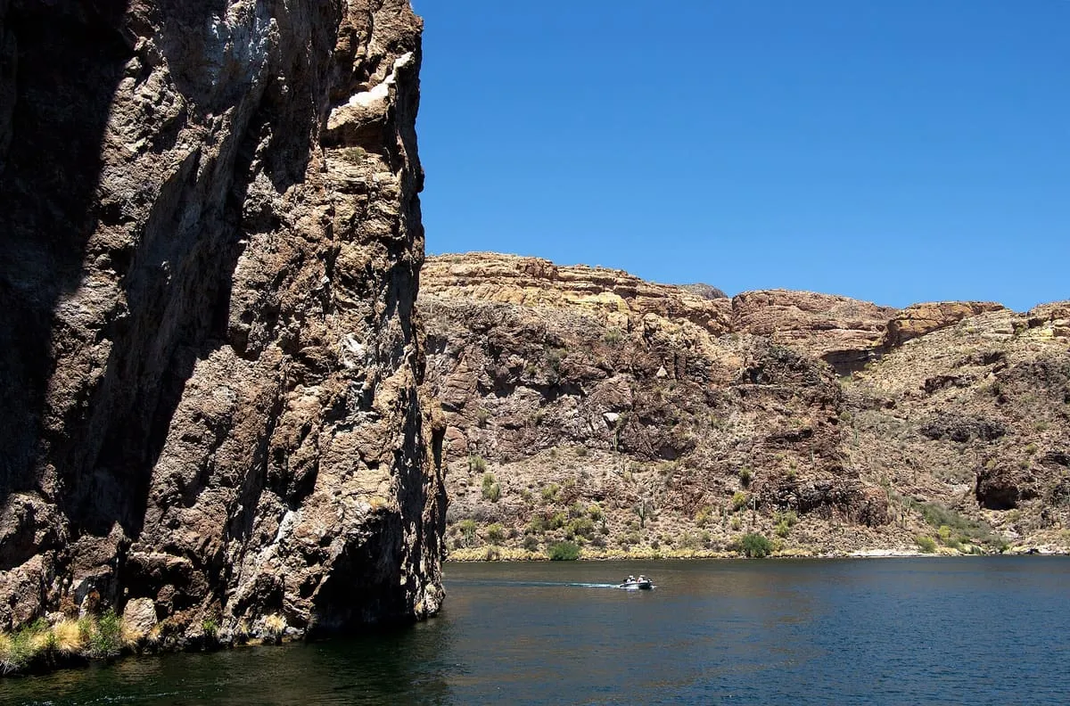
Canyon Lake is one of four reservoirs that were formed by the damming of the Salt River in the U.S. state of Arizona as part of the Salt River Project. It was formed by the Mormon Flat Dam, which was completed in 1925 after two years of construction.