0.9 miles away
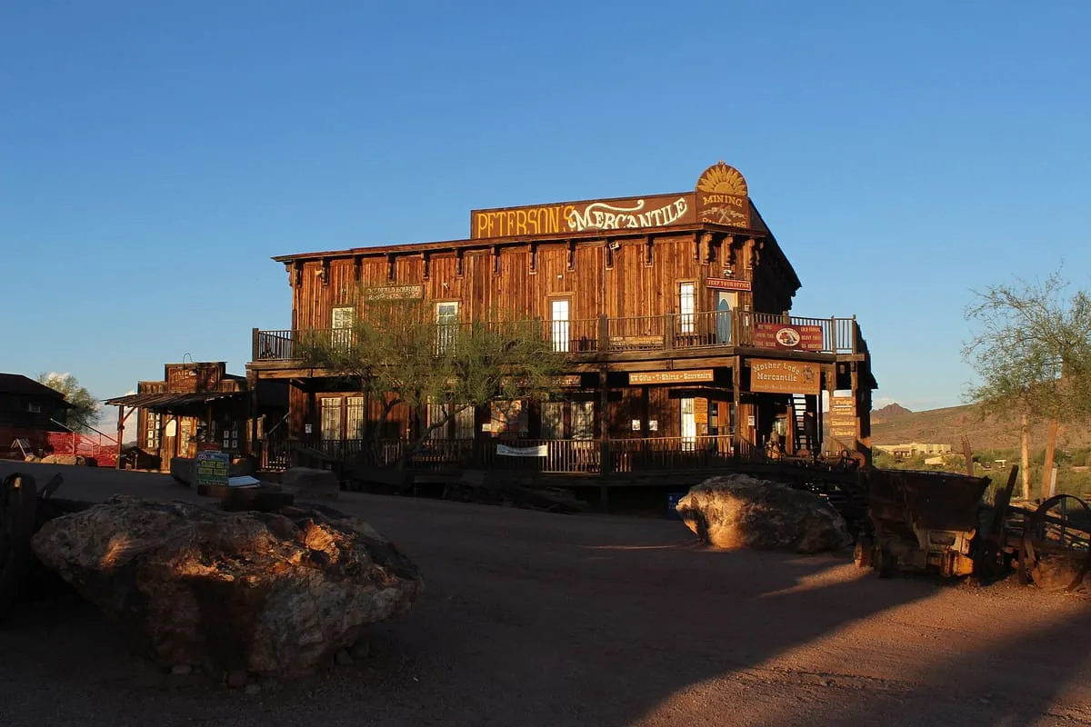
Goldfield Ghost Town
An 1893 mining settlement below the Superstition Mountains, rebuilt in full as a visitor attraction.
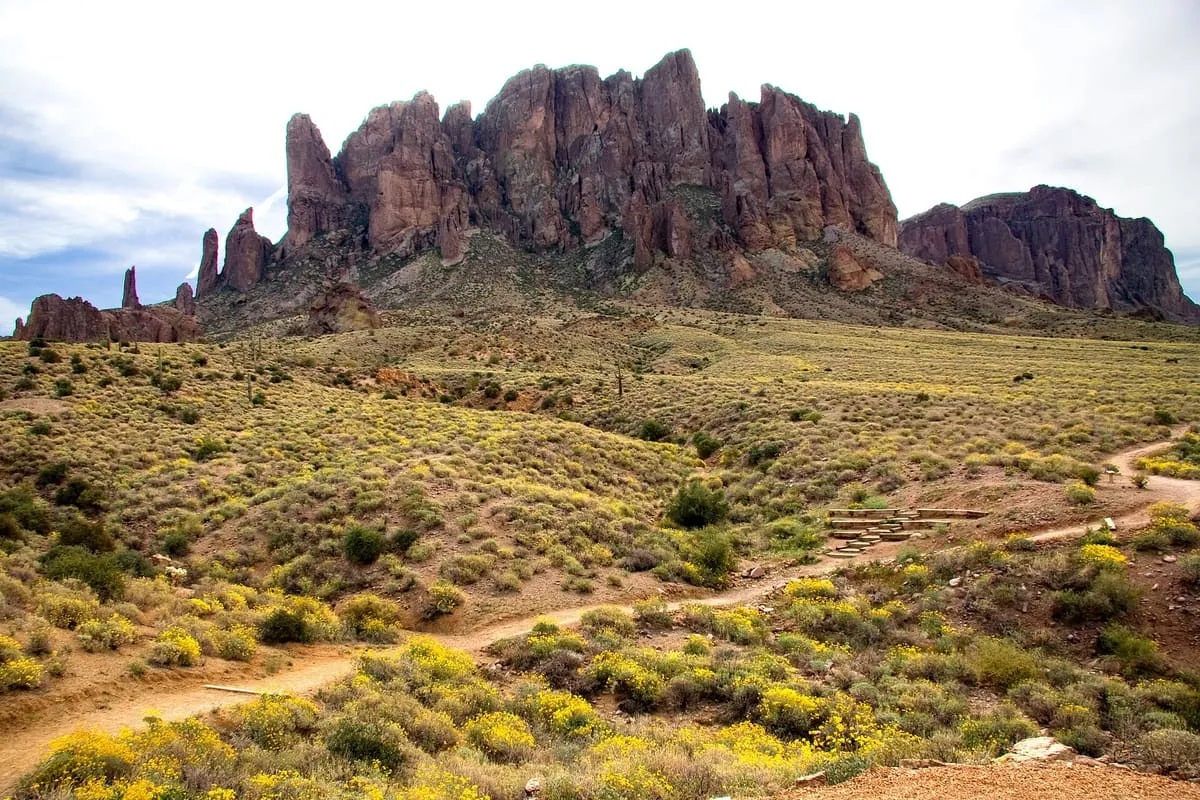
A 320-acre park at the foot of the Superstition Mountains, named for a lost gold mine of Old West legend.
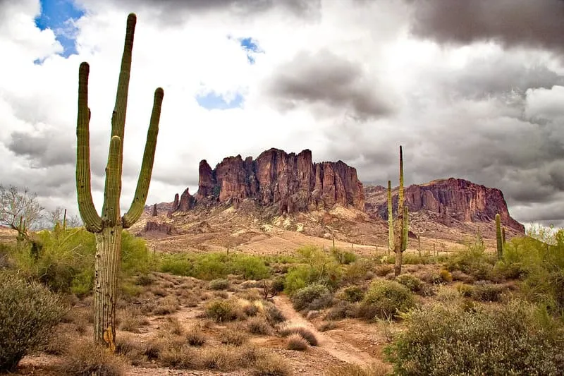
Lost Dutchman State Park is a 320-acre state park in north-western Pinal County, on the Apache Trail north of Apache Junction and about 40 miles east of Phoenix by way of U.S. Highway 60. It is named after the Lost Dutchman's Gold Mine, a lost mine of Old West legend. The park provides hiking trails and mountain bike access to the Superstition Wilderness, along with views of the Superstition Mountains that rise behind it. It recorded 205,384 visits in 2024.
Lost Dutchman State Park is a state park near Apache Junction, in Pinal County. It is one of the state parks in this database, and appears in the statewide ranking of Arizona attractions.
The score combines the published visitor count with public interest and tourism significance, which is what earns it high confidence. The weighting is explained in full on the methodology page, and every axis is broken out under Facts and sources at the foot of this page.
Record last verified 2026-08-12.
0.9 miles away
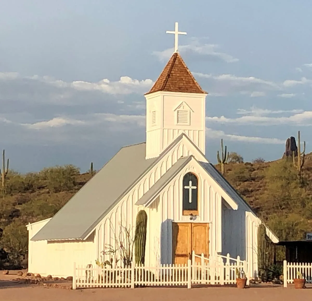
1.5 miles away
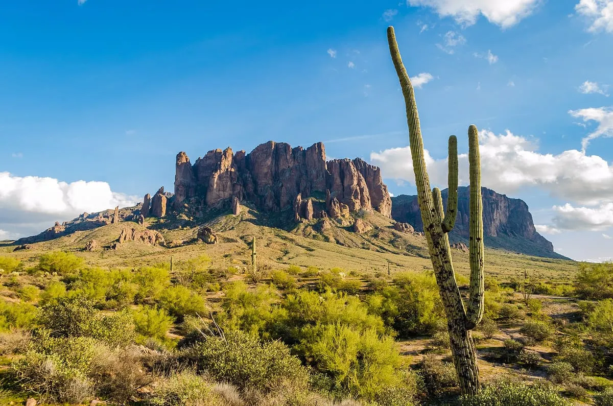
2.5 miles away
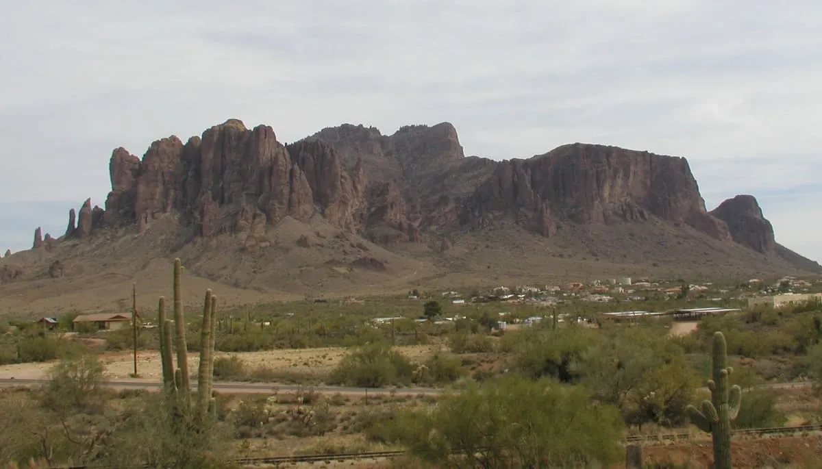
5.4 miles away
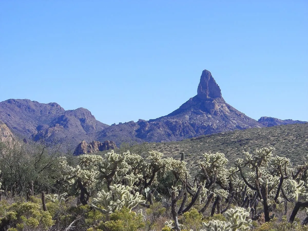
6.3 miles away
6.5 miles away