31 miles away
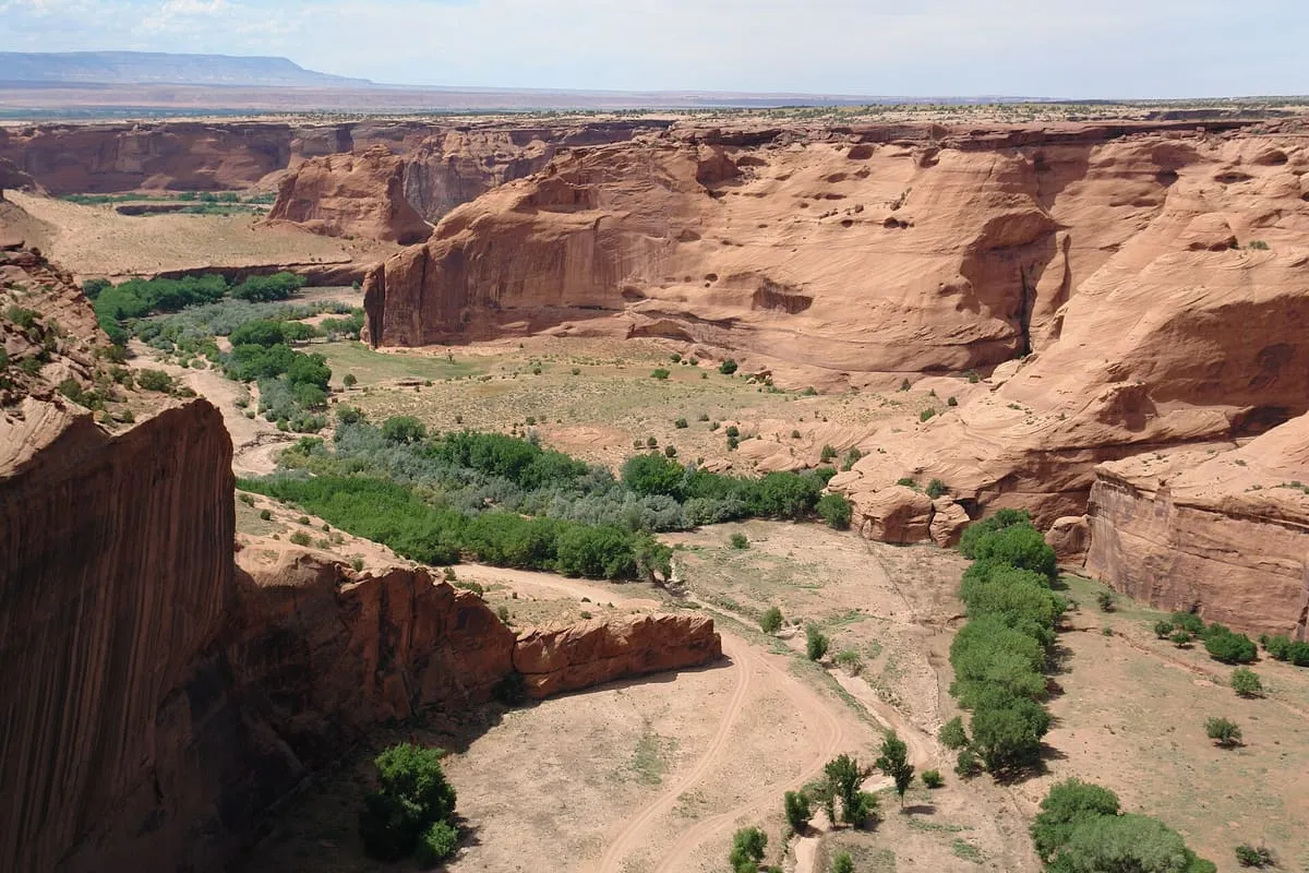
Canyon de Chelly National Monument
Three canyons on Navajo Nation land, continuously inhabited for nearly 5,000 years and still farmed today.
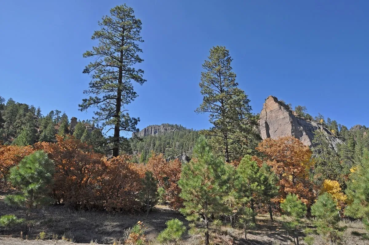
An elongate range on the Colorado Plateau within the Navajo Nation, rising to 9,823 feet at Roof Butte in northern Arizona.
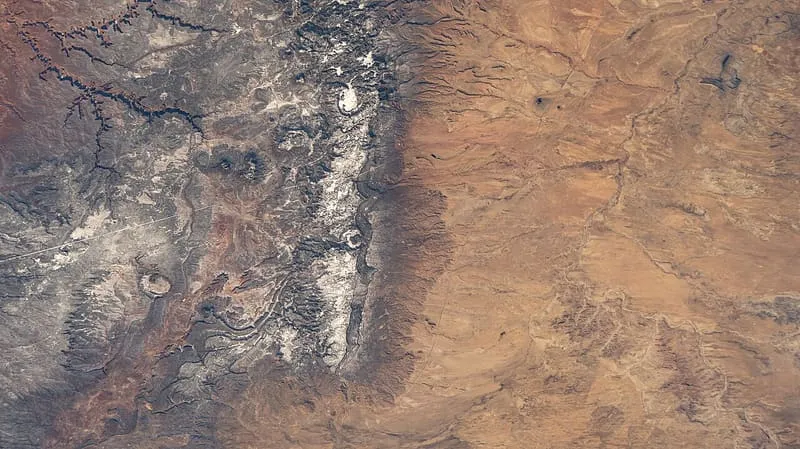
The Chuska Mountains are an elongate range on the south-western Colorado Plateau, within the Navajo Nation and crossed by the state line between Arizona and New Mexico. The range measures about 50 by 10 miles and trends north-north-west. Its highlands form a dissected plateau of subdued topography, with an average elevation of about 8,990 feet. The highest point is Roof Butte, at 9,823 feet, near the northern end of the range in Arizona; other high points near that end include Matthews Peak at 9,551 feet, the Lukachukai Mountains at 9,465 feet and the satellite Beautiful Mountain at 9,386 feet. The San Juan Basin borders the Chuskas on the east, where typical elevations are near 5,900 feet, and the eastern escarpment of the range is marked by slumps and landslides that extend onto the basin's western margin. To the north, Red Rock Valley, now commonly called Red Valley, separates the Chuskas from the Carrizo Mountains. The Navajo name for the range is Chʼóshgai.
Chuska Mountains is a natural landmark near Chinle, in Apache County. It is one of the natural landmarks in this database, and appears in the statewide ranking of Arizona attractions.
No official visitor count is published for Chuska Mountains, so its score rests on public interest and tourism significance, and is capped below the level a measured attraction can reach. That is why the medium confidence above is not higher. The weighting is explained in full on the methodology page, and every axis is broken out under Facts and sources at the foot of this page.
Note on the data: No official visitor count is published for this attraction.
Record last verified 2026-08-12.
31 miles away
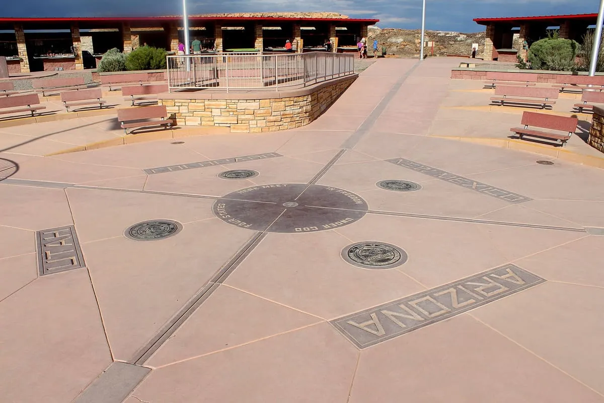
37 miles away
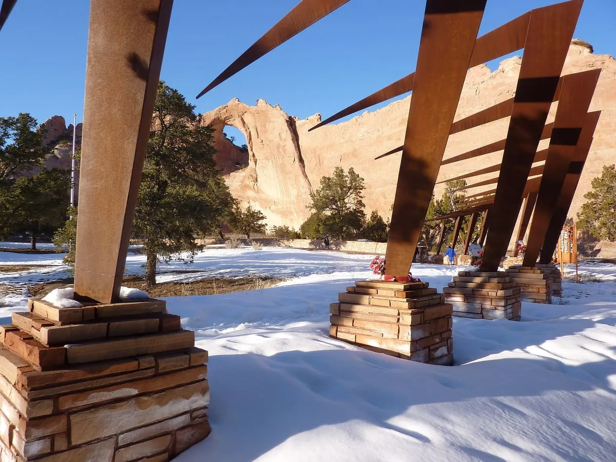
54 miles away
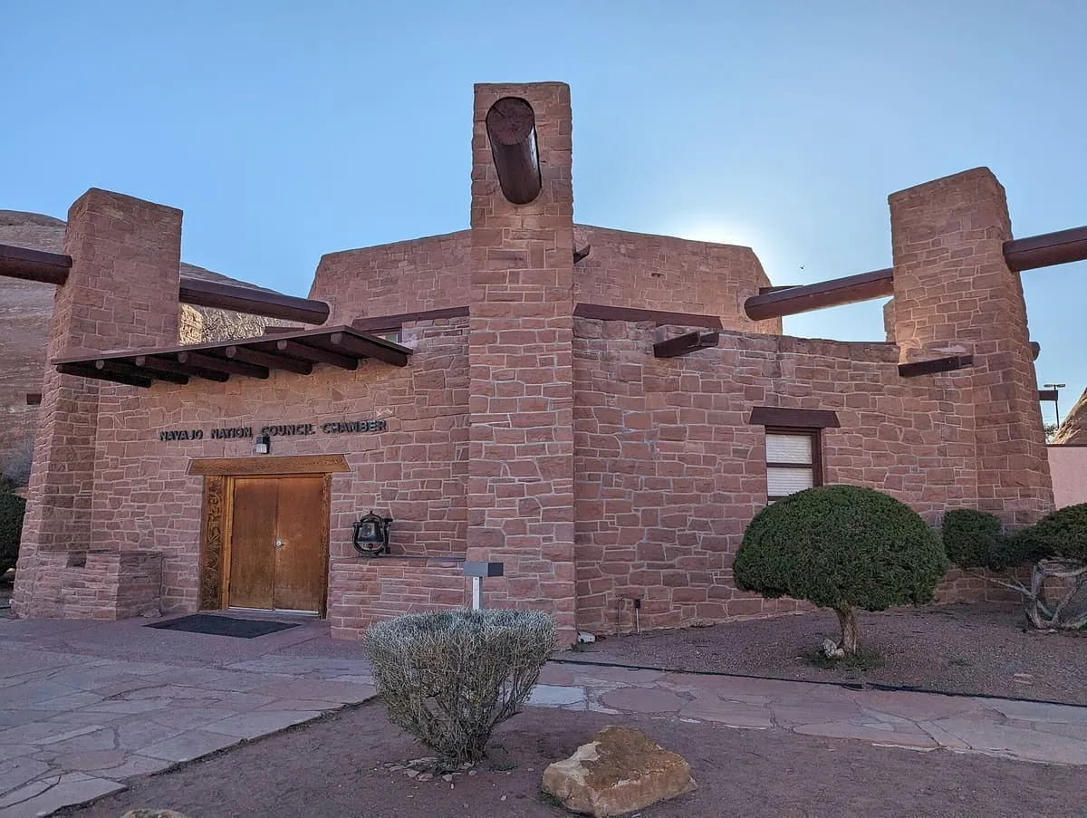
54 miles away
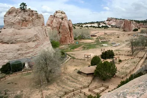
56 miles away
58 miles away