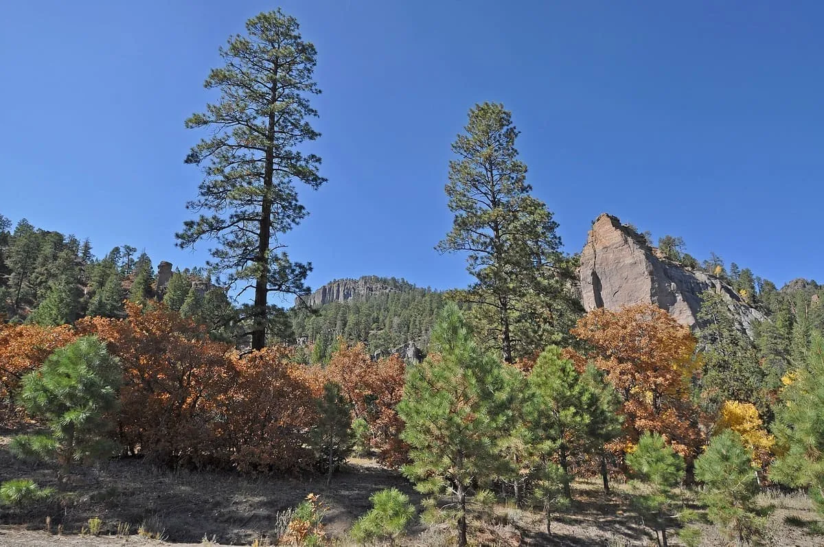
37 miles away
Chuska Mountains
An elongate range on the Colorado Plateau within the Navajo Nation, rising to 9,823 feet at Roof Butte in northern Arizona.
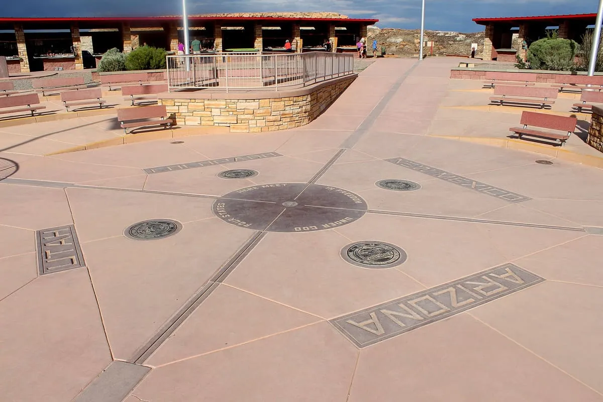
The only point in the United States shared by four states, maintained by the Navajo Nation as a visitor site.
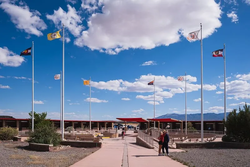
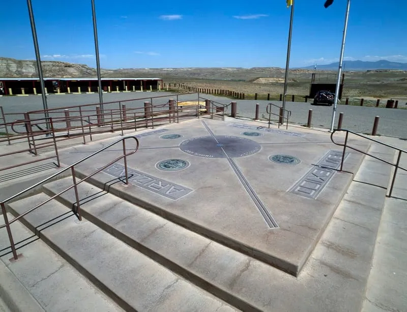
Four Corners Monument marks the quadripoint where Arizona, Colorado, New Mexico and Utah meet, the only point in the United States shared by four states. It also marks the boundary between two sovereign Native American governments: the Navajo Nation, which maintains the monument as a visitor attraction, and the Ute Mountain Ute Tribe Reservation. The state boundaries it records originated shortly before and during the American Civil War, when Congress acted to form governments in the region in part to check the spread of slavery. The territorial boundaries were designated along meridian and parallel lines, then surveyed and marked from the 1860s onward. Those early surveys contained errors, but the markers placed became the legal boundaries regardless, superseding the lines as they had been described.
Four Corners Monument is a landmark near Monument Valley, in Apache County. It is one of the landmarks in this database, and appears in the statewide ranking of Arizona attractions.
No official visitor count is published for Four Corners Monument, so its score rests on public interest and tourism significance, and is capped below the level a measured attraction can reach. That is why the medium confidence above is not higher. The weighting is explained in full on the methodology page, and every axis is broken out under Facts and sources at the foot of this page.
Note on the data: No official visitor count is published for this attraction.
Record last verified 2026-08-12.
37 miles away
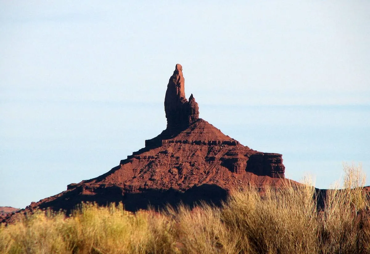
52 miles away
55 miles away
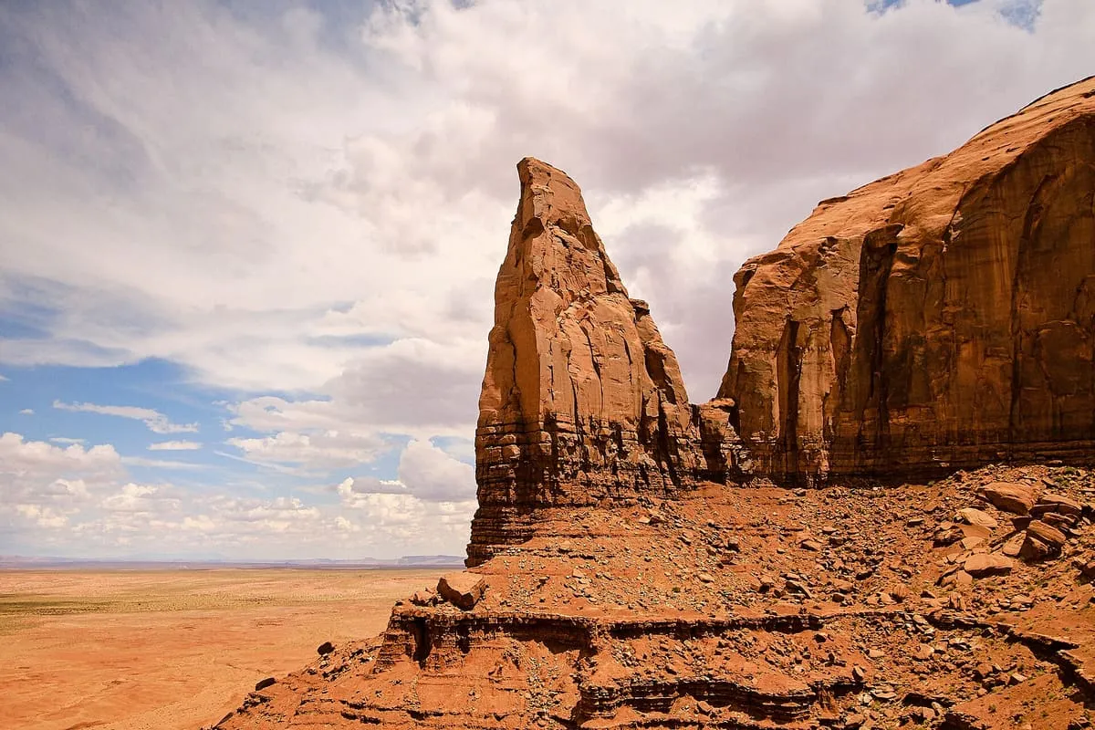
56 miles away
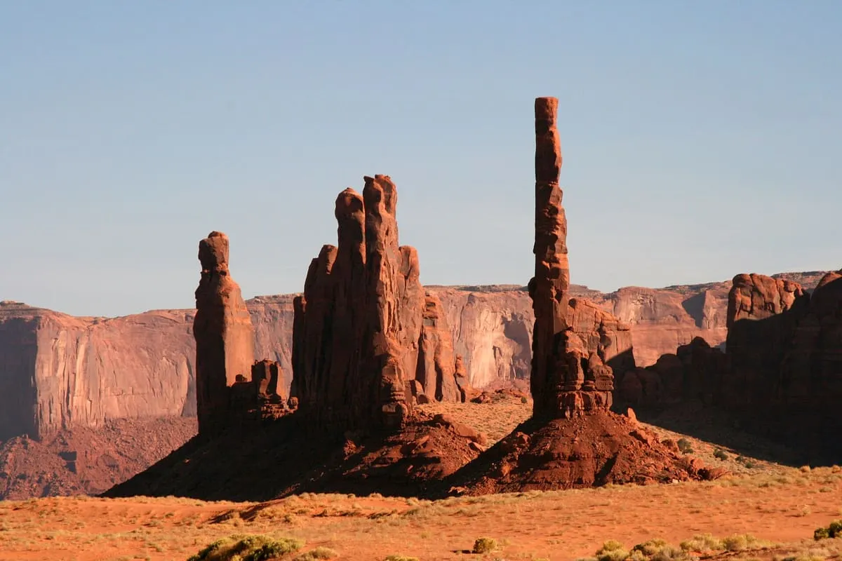
56 miles away
56 miles away