0.6 miles away
Angel and Vilma Delgadillo’s Route 66 Memorabilia & Visitor’s Center
A Yavapai County Route 66 museum owned by Angel Delgadillo, whose account of the highway's bypass inspired a scripted film flashback.
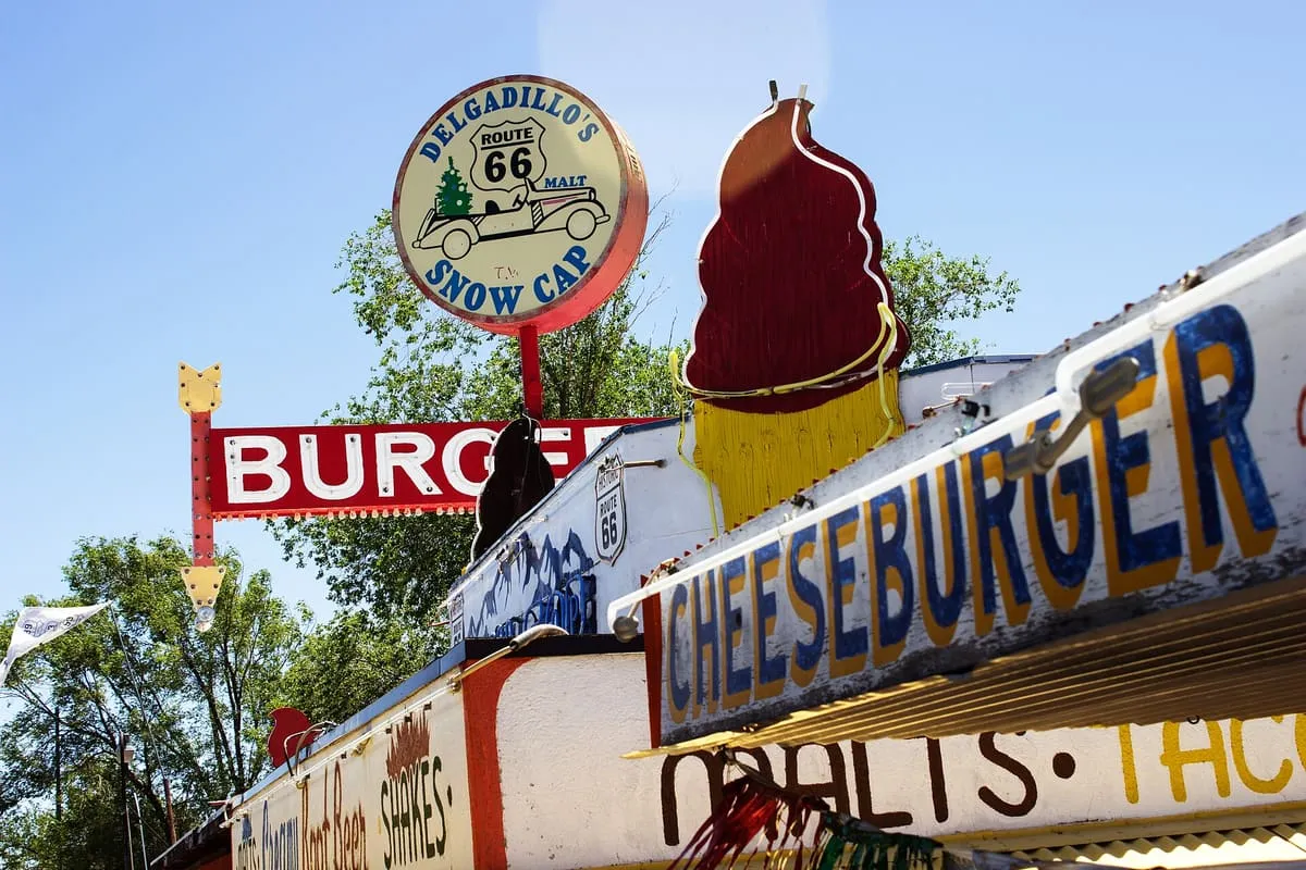
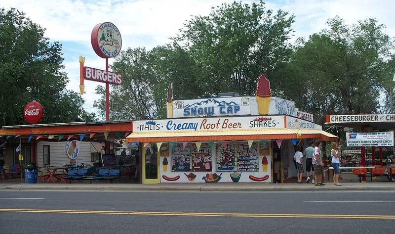
A Route 66 drive-in in Seligman, built in 1953 from railway scrap lumber by Juan Delgadillo and still run by his family.
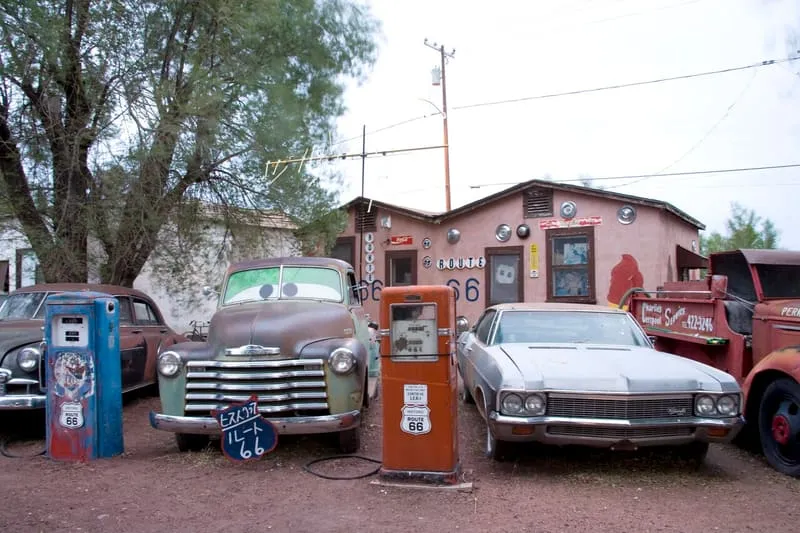
Delgadillo's Snow Cap Drive-In is a roadside restaurant on Route 66 in Seligman, Arizona, built in 1953 by Juan Delgadillo, who worked to a very limited budget and used scrap lumber from the nearby Santa Fe Railway yard. Delgadillo advertised the business with a 1936 Chevrolet hardtop whose roof he had cut away, adding paint, horns, automotive emblems and an artificial Christmas tree at the rear. The same approach runs through the premises: the menu lists a "cheeseburger with cheese" and "dead chicken", a neon sign in the window reads "Sorry, we're open", and of the two knobs on the door to the counter only the left one works. Old cars and assorted kitsch stand in Juan's Garden behind the building, and business cards from around the world cover the walls by the counter. The drive-in is within the Seligman Commercial Historic District. Juan Delgadillo died in 2004, and his daughter Cecilia and son John have run it since. His brother Angel, a Seligman barber and historian of Route 66, met the director John Lasseter during research for the 2006 film Cars, and both brothers are acknowledged in its credits.
Delgadillo's Snow Cap Drive-In is a historic site near Ash Fork, in Yavapai County. It is one of the historic sites in this database, and appears in the statewide ranking of Arizona attractions.
No official visitor count is published for Delgadillo's Snow Cap Drive-In, so its score rests on public interest and tourism significance, and is capped below the level a measured attraction can reach. That is why the medium confidence above is not higher. The weighting is explained in full on the methodology page, and every axis is broken out under Facts and sources at the foot of this page.
Note on the data: No official visitor count is published for this attraction.
Record last verified 2026-08-12.
0.6 miles away
25 miles away
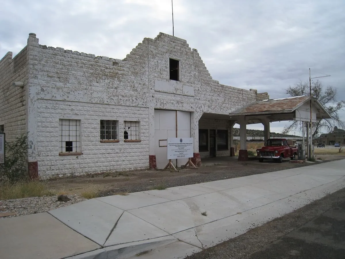
34 miles away
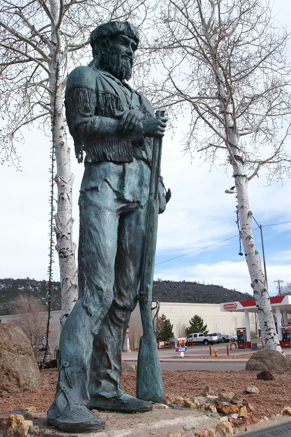
39 miles away
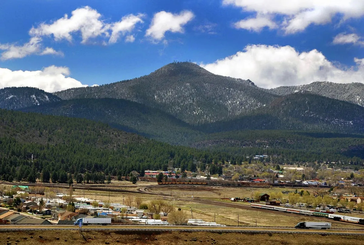
39 miles away