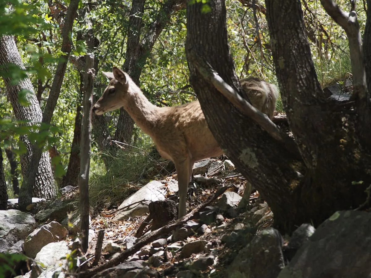
2.8 miles away
Ramsey Canyon Preserve
Ramsey Canyon Preserve, near Sierra Vista, Arizona, has recorded more than 170 bird species, including 14 hummingbird species, along its hiking trails.
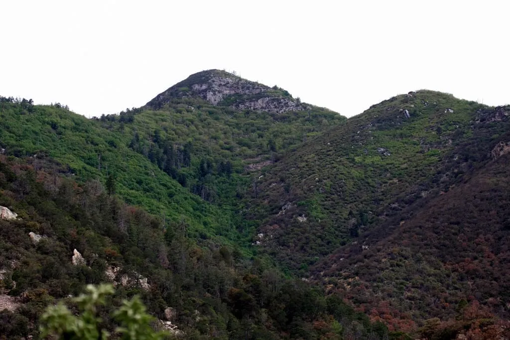
A 9,470-foot summit in the Huachuca Mountains south of Sierra Vista, the southernmost land above 9,000 feet in the continental United States.
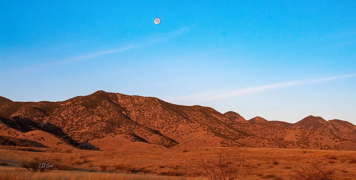
Miller Peak, at 9,470 feet, is the highest mountain in the Huachuca Mountains and the second-highest in Cochise County, Arizona, after Chiricahua Peak. It stands about 10 miles south of Sierra Vista and is the most southerly peak and land area rising above 9,000 feet in the continental United States. The surrounding Miller Peak Wilderness covers 20,190 acres and is managed by the Coronado National Forest. The area was affected by the 2011 Monument fire, which destroyed most of the pine trees seen in older photographs; scrub oak has begun to replace them.
Miller Peak is a natural landmark near Sierra Vista, in Cochise County. It is one of the natural landmarks in this database, and appears in the statewide ranking of Arizona attractions.
No official visitor count is published for Miller Peak, so its score rests on public interest and tourism significance, and is capped below the level a measured attraction can reach. That is why the medium confidence above is not higher. The weighting is explained in full on the methodology page, and every axis is broken out under Facts and sources at the foot of this page.
Note on the data: No official visitor count is published for this attraction.
Record last verified 2026-08-12.
2.8 miles away
2.9 miles away
4.4 miles away
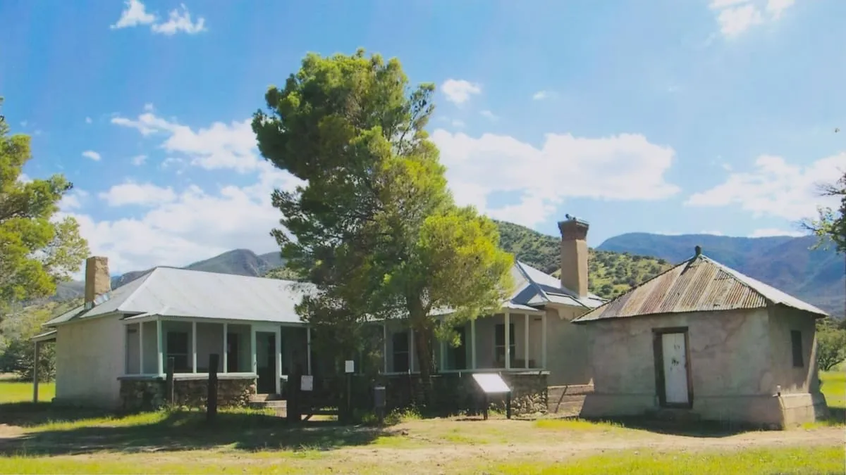
4.5 miles away
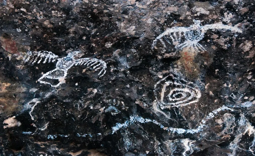
5.6 miles away
8.7 miles away