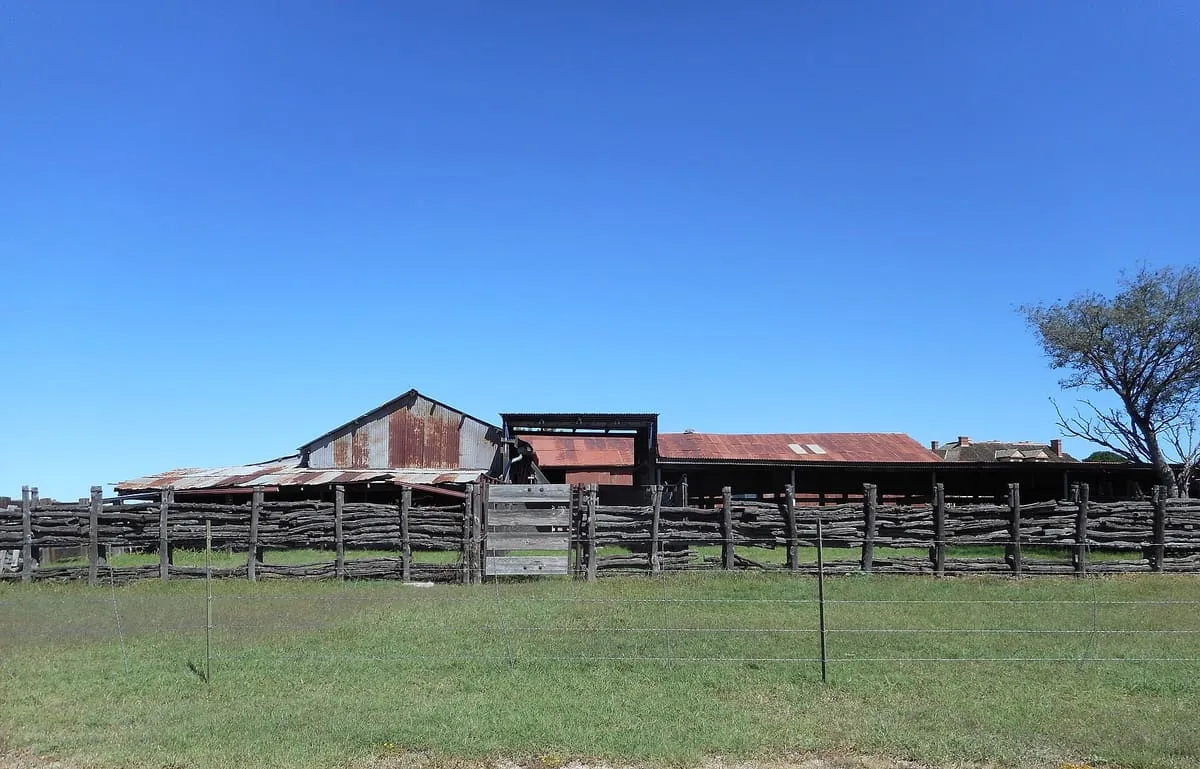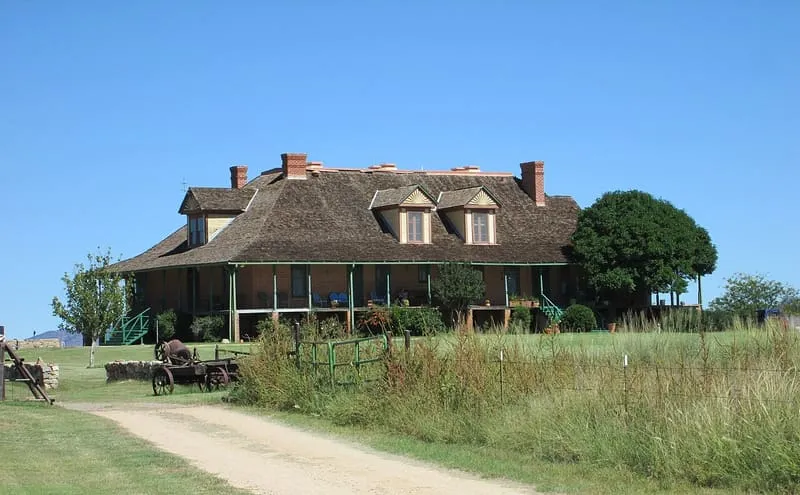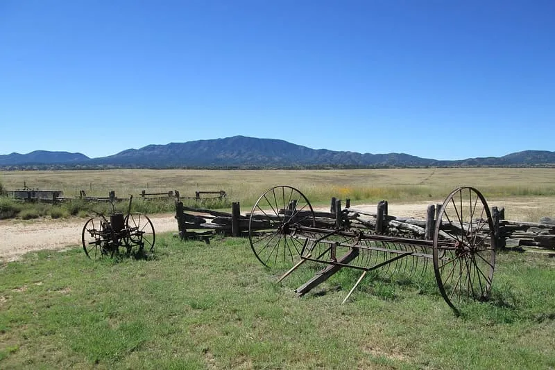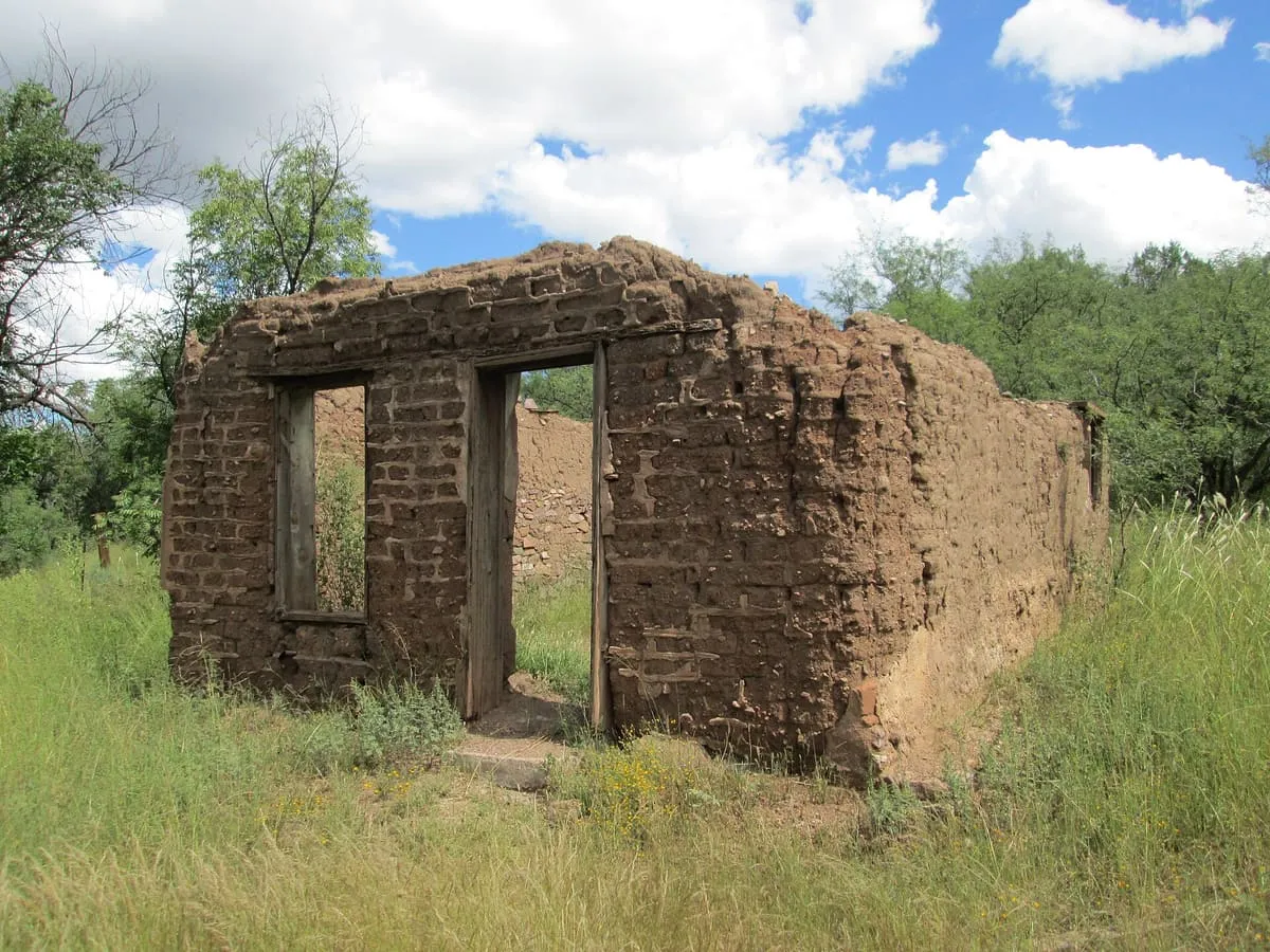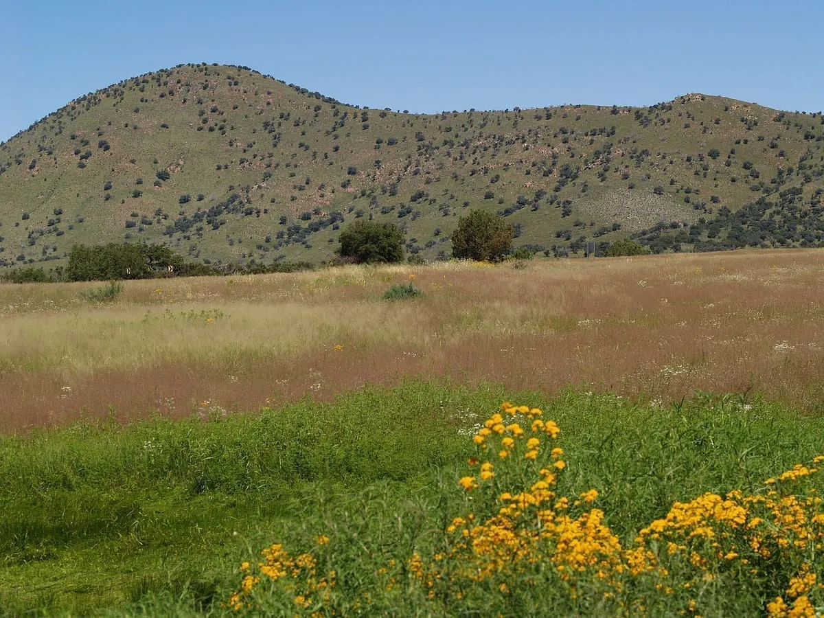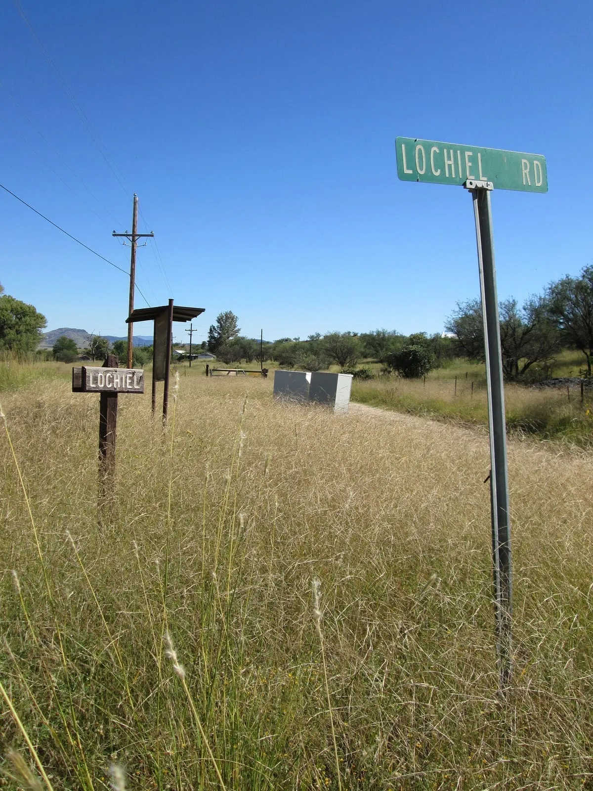
The San Rafael Ranch, formerly known as the Greene Ranch, is a historic cattle ranch located in the San Rafael Valley about a mile and a half north of Lochiel, Arizona, United States near the international border with Sonora, Mexico.
This place scores 45.2 out of 100, at medium confidence. No official visitor count is published for it, so the score rests on public interest and tourism significance, and is capped below the level a measured attraction can reach. The weighting is explained in full on the methodology page.
Note on the data: No official visitor count is published for this attraction.
Lochiel is a populated place and former border crossing in southern Santa Cruz County, Arizona, United States, approximately 25 miles east of Nogales. Basically a ghost town, the townsite is located in the southwestern part of the San Rafael Valley on Washington Gulch, about 1.5 miles west of the Santa Cruz River. It was first settled in the late-1870s and mostly abandoned by 1986.
The Patagonia Mountains are a 15-mile-long (24 km) mountain range within the Coronado National Forest, and in Santa Cruz County, Arizona, United States.
Harshaw is a ghost town in Santa Cruz County in the southeastern part of the U.S. state of Arizona. The town was settled in the 1870s, in what was then Arizona Territory.
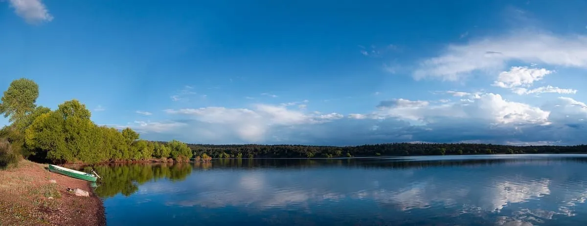
Parker Canyon Lake is located in southeastern Arizona, 28 miles (45 km) southwest of Sierra Vista around the Huachuca Mountains and about 5 miles (8.0 km) north of the border with Mexico. The lake is a reservoir formed by a dam in Parker Canyon in the south end of the Canelo Hills in southwestern Cochise County. Parker Canyon is a tributary to the Santa Cruz River in the San Rafael Valley.
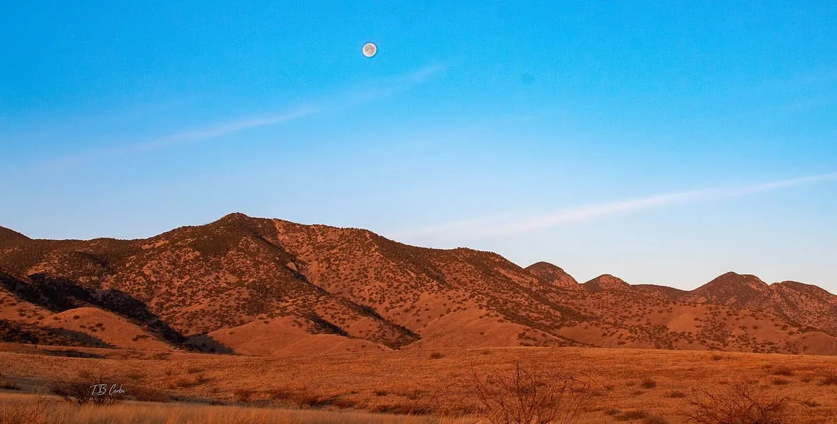
The Huachuca Mountains are part of the Sierra Vista Ranger District of the Coronado National Forest in Cochise County in southeastern Arizona, approximately 70 miles (110 km) south-southeast of Tucson and southwest of the city of Sierra Vista. Included in this area is the highest peak in the Huachucas, Miller Peak, and the region of the Huachucas known as Canelo Hills in eastern Santa Cruz County. The mountains range in elevation from 3,934 feet (1,199 m) at the base to 9,466 feet (2,885 m) at the top of Miller Peak.
The Canelo Hills Cienega Reserve, is a nature preserve southeast of Sonoita, Arizona on the east side of the Canelo Hills. The area's 260 acres (110 ha) are a mix of rare cienega wetland and black oak and Arizona fescue fields. The preserve is notable for the extremely rare Canelo ladies tresses orchid (Spiranthes delitescens) and the Gila chub and Gila sucker that grow along its alkaline banks.