Home Counties Pinal County 28 attractions
1 Score 63.2 out of 100 63.2
Landmark
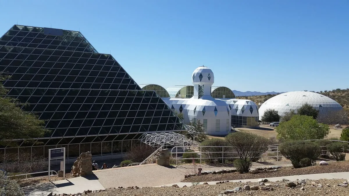
The largest closed ecological system ever created, built by 1991 and now a University of Arizona research facility.
2 Score 59.5 out of 100 59.5
National Monument
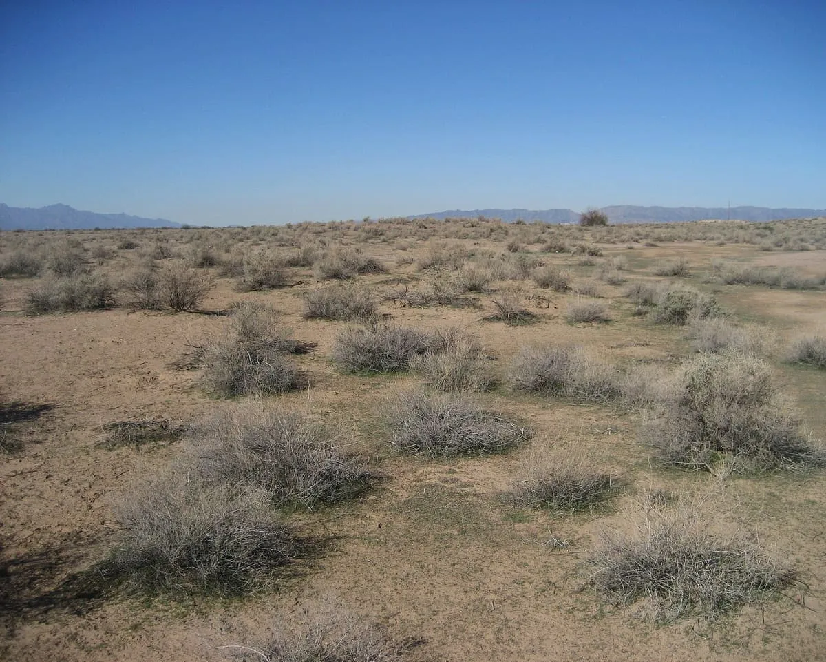
A Hohokam village site near Sacaton, protected since 1972 and kept closed to the public by the Gila River Indian Community.
3 Score 54.1 out of 100 54.1
National Monument
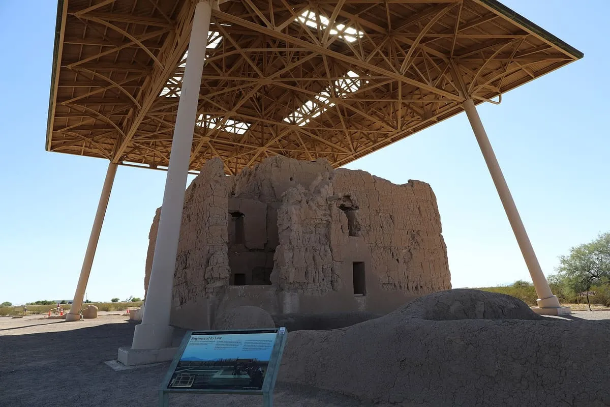
A four-storey Hohokam earthen building, and the first archaeological site in the US to be federally protected.
4 Score 53.1 out of 100 53.1
Historic Site
A War Relocation Authority camp near Sacaton that held 13,348 incarcerated Japanese Americans between 1942 and 1945.
5 Score 51.7 out of 100 51.7
Historic Site
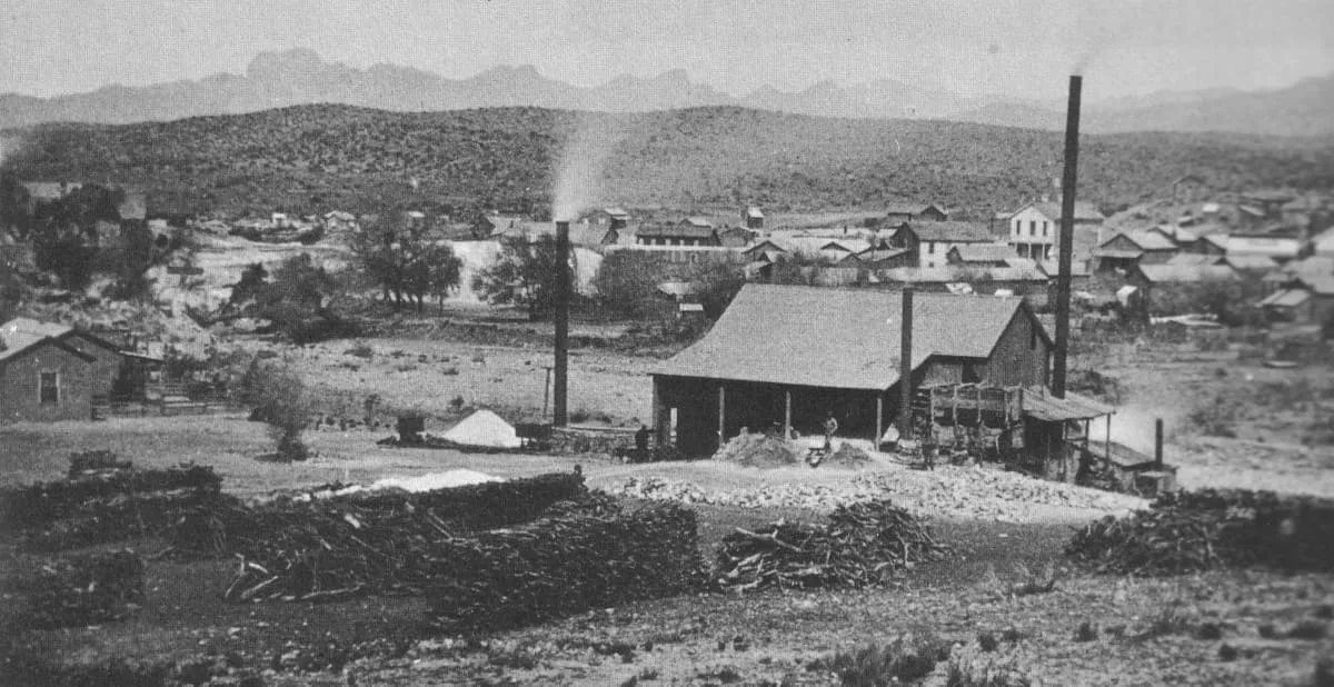
A ghost town in Pinal County, populated from the 1870s into the 1890s, of which only a few foundations remain.
6 Score 51.2 out of 100 51.2
Natural Landmark
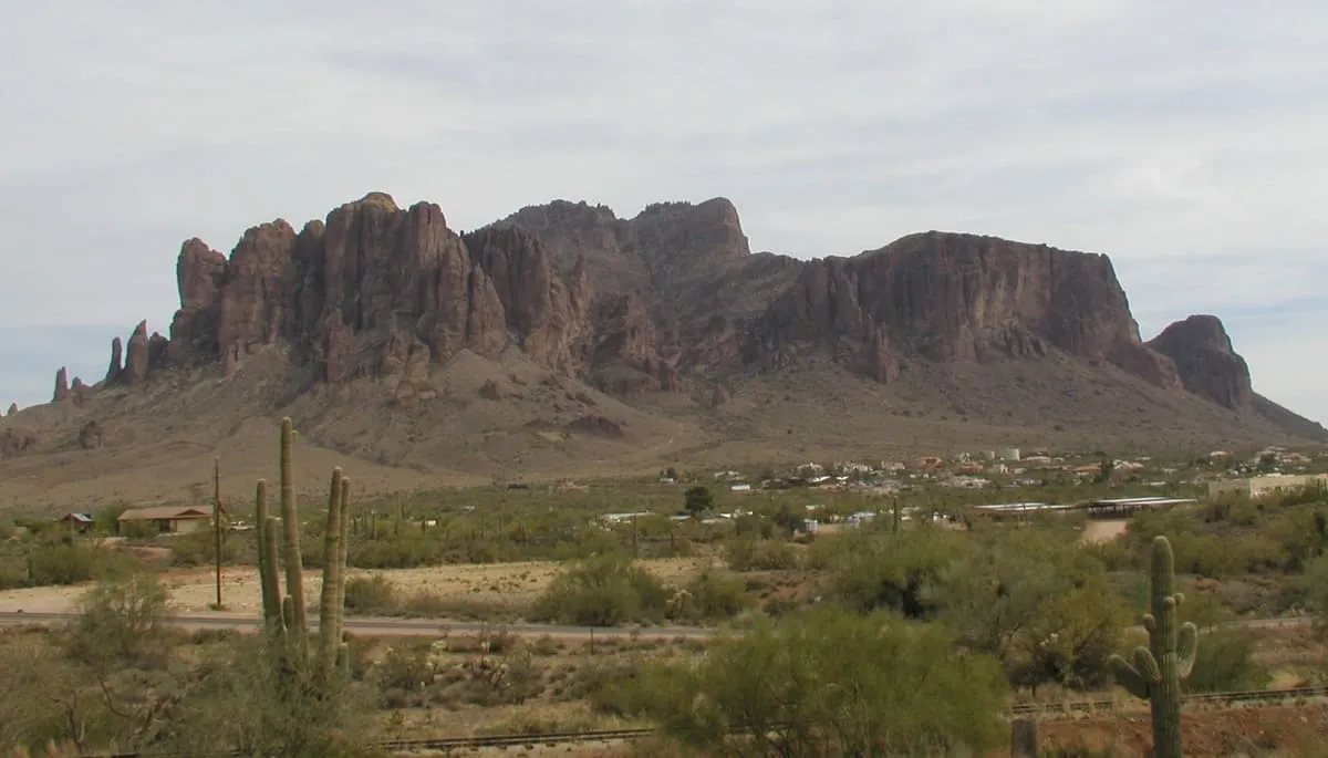
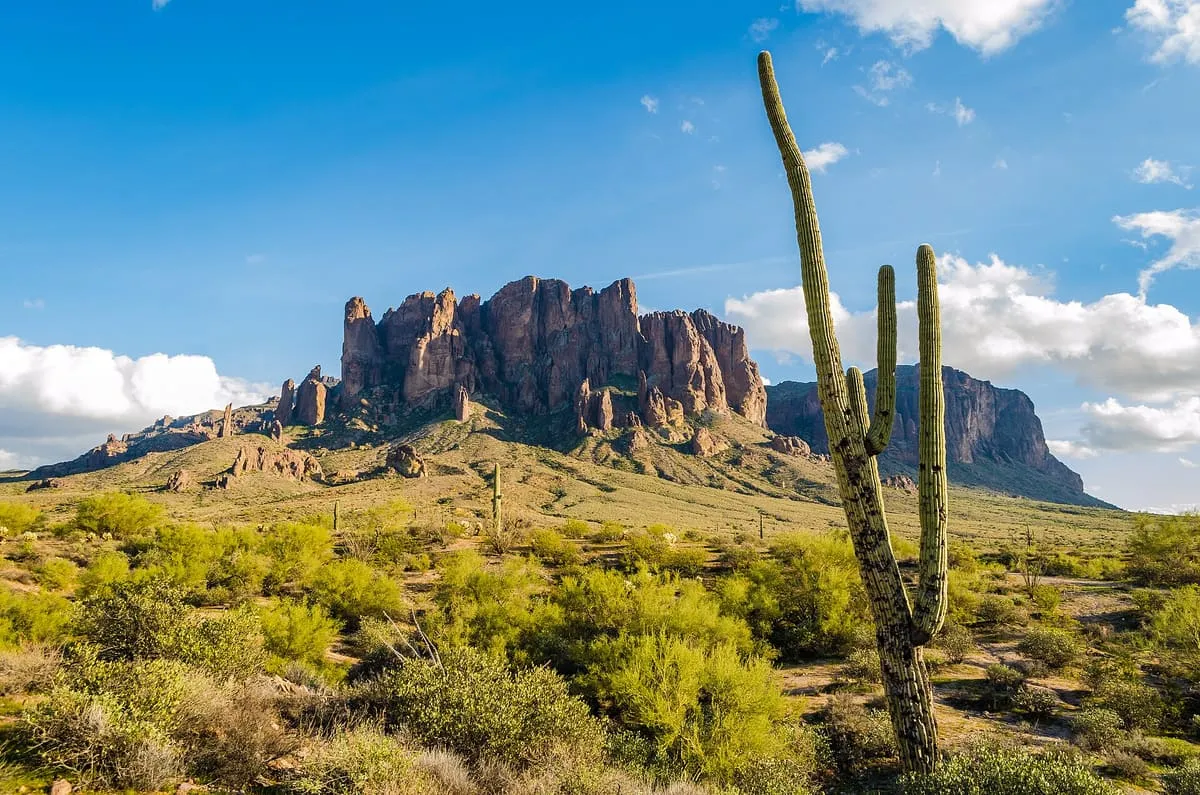
A landmark mountain east of Apache Junction anchoring the Superstition Mountains and central to the Lost Dutchman legend.
7 Score 48.4 out of 100 48.4
Natural Landmark
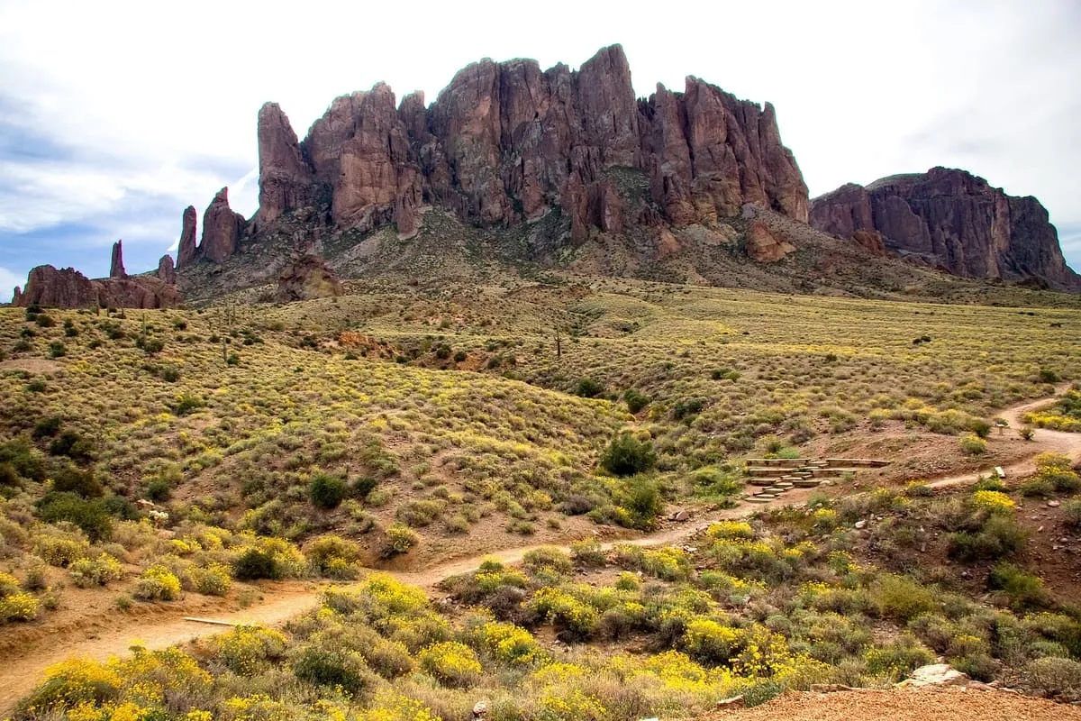
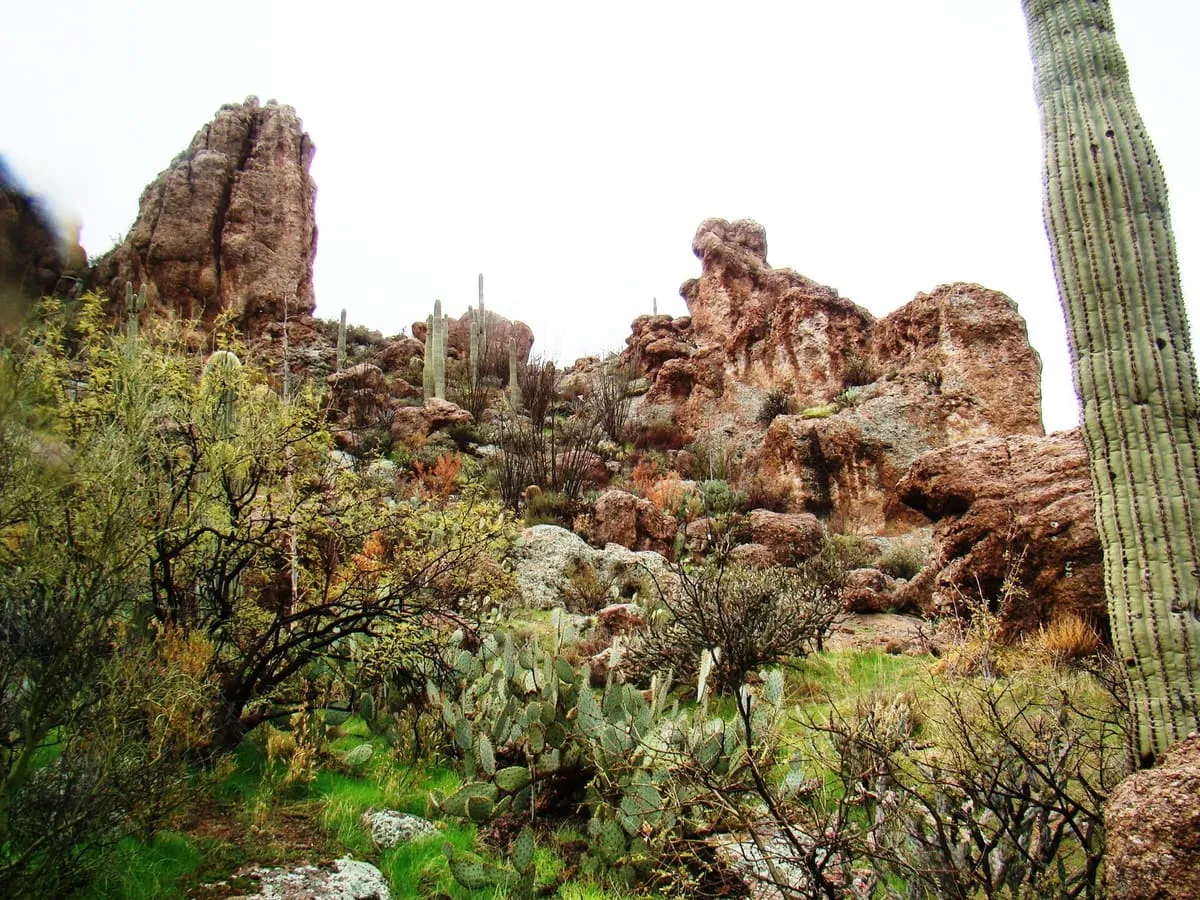
A 1,000-foot rock spire in the Superstition Mountains, tied to the legend of the Lost Dutchman's Gold Mine and visible for many miles.
8 Score 47.9 out of 100 47.9
State Park
A 320-acre park at the foot of the Superstition Mountains, named for a lost gold mine of Old West legend.
9 Score 47.8 out of 100 47.8
State Park
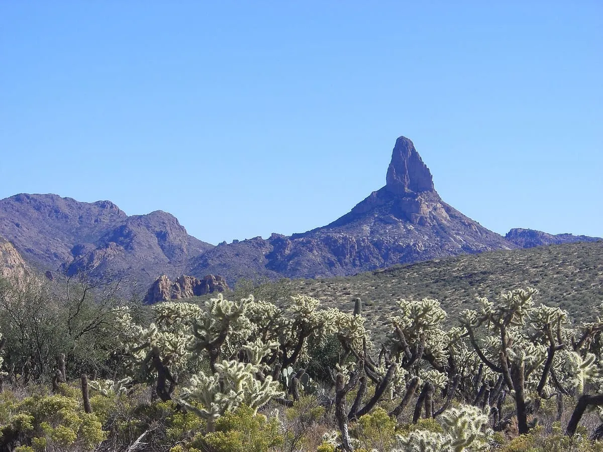
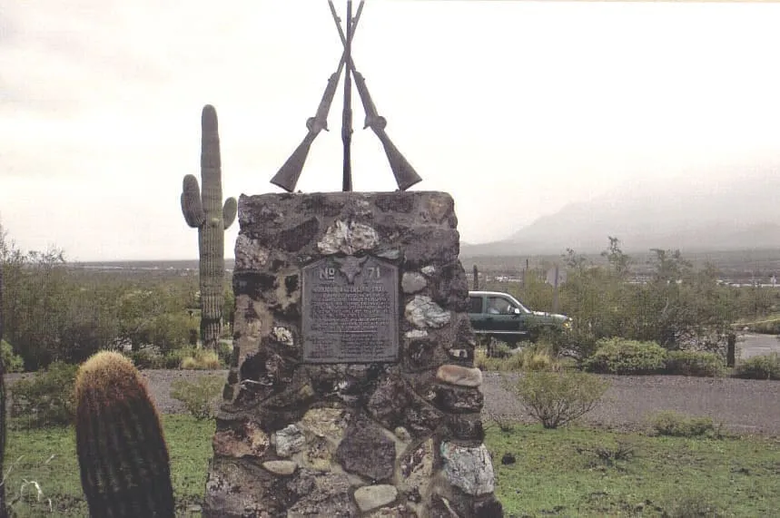
The 3,374-foot spire of Picacho Peak, between Casa Grande and Tucson and visible from the city 45 miles away.
10 Score 47.8 out of 100 47.8
Historic Site
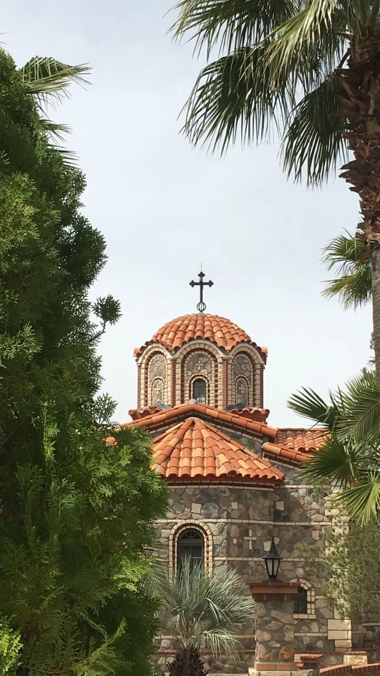
The largest Orthodox monastic complex in the Western Hemisphere, founded in 1995 in the Sonoran Desert outside Florence.
11 Score 45.5 out of 100 45.5
Natural Landmark
A mesa in the Tonto National Forest east of Phoenix, sacred to the San Carlos Apache and listed on the National Register.
12 Score 42.8 out of 100 42.8
Historic Site
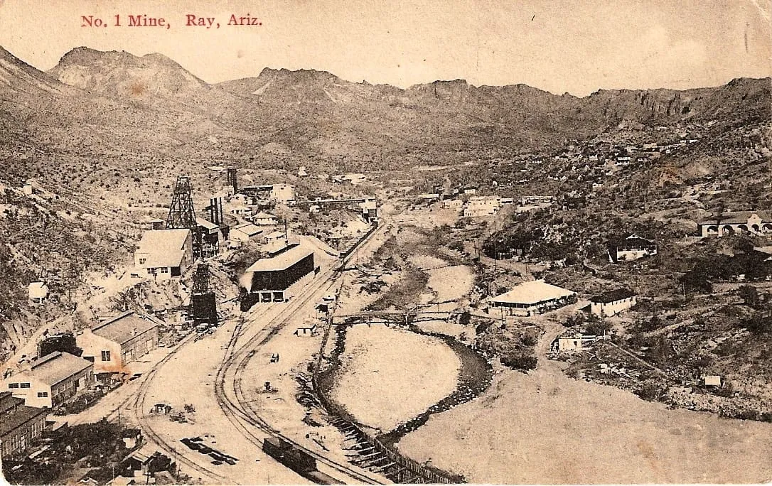
A Pinal County ghost town beside a large copper mine, emptied from 1958 when Kennecott moved its residents to the new town of Kearny.
13 Score 41.8 out of 100 41.8
Historic Site
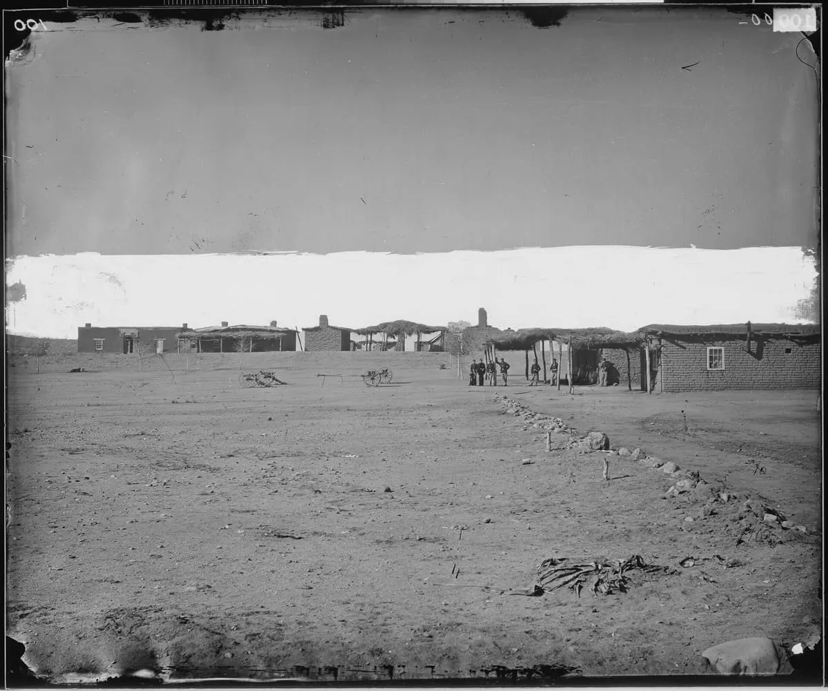
A US military post at the San Pedro River and Aravaipa Creek, built in 1860 as Fort Breckinridge and replaced in 1872; little of it remains.
14 Score 41.3 out of 100 41.3
Botanical Garden
Arizona's oldest botanical garden, founded in 1924 on 392 acres along Queen Creek and growing more than 2,600 arid-land plant species.
15 Score 40.4 out of 100 40.4
Natural Landmark
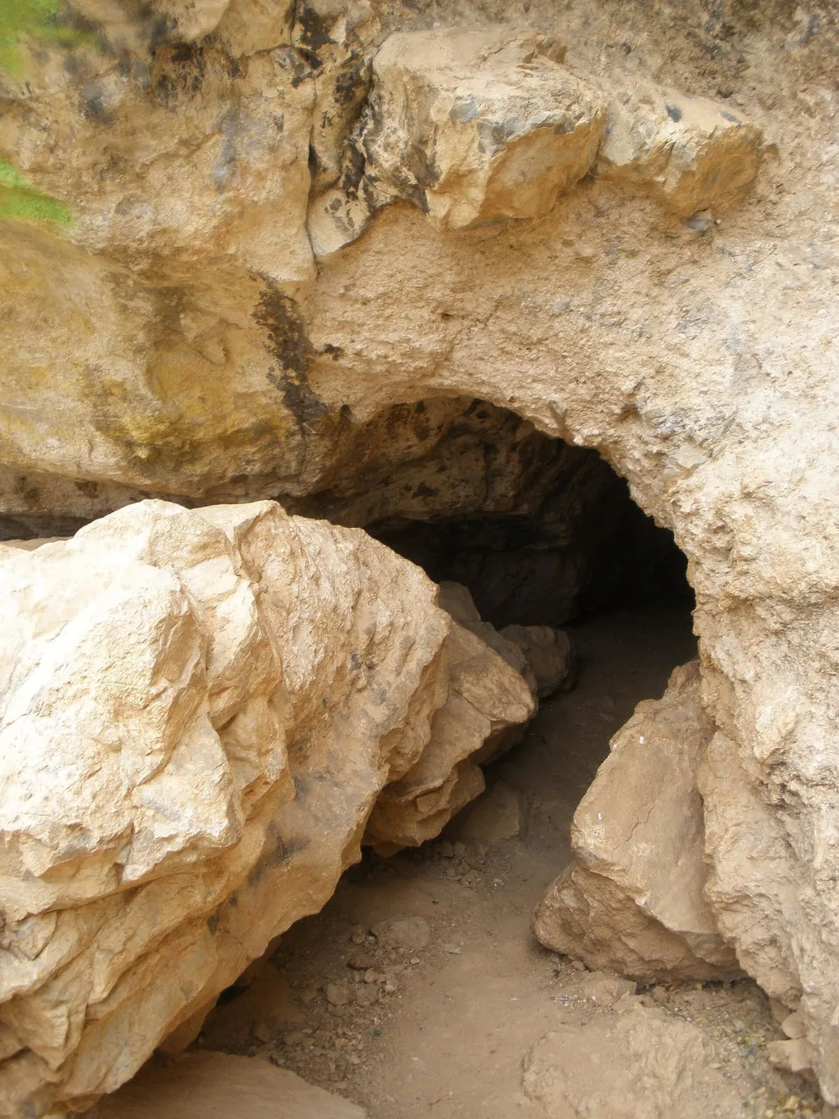
A limestone cave with about a mile of mapped passages in the Santa Catalina Mountains south of Oracle, visited by some 23,000 people a year.
16 Score 39.4 out of 100 39.4
Historic Site
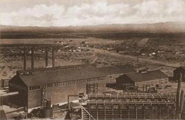
A ghost town in Pinal County west of Red Rock, built as a company town around a large smelter serving several mines.
17 Score 36.5 out of 100 36.5
Landmark
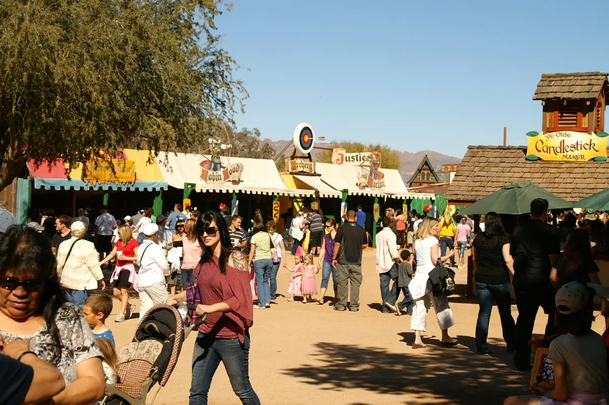
A Renaissance fair at Gold Canyon in Pinal County, first run in 1989 and held from mid-winter to early spring as the village of Fairhaven.
18 Score 35.0 out of 100 35.0
Landmark
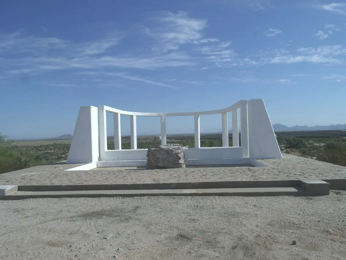
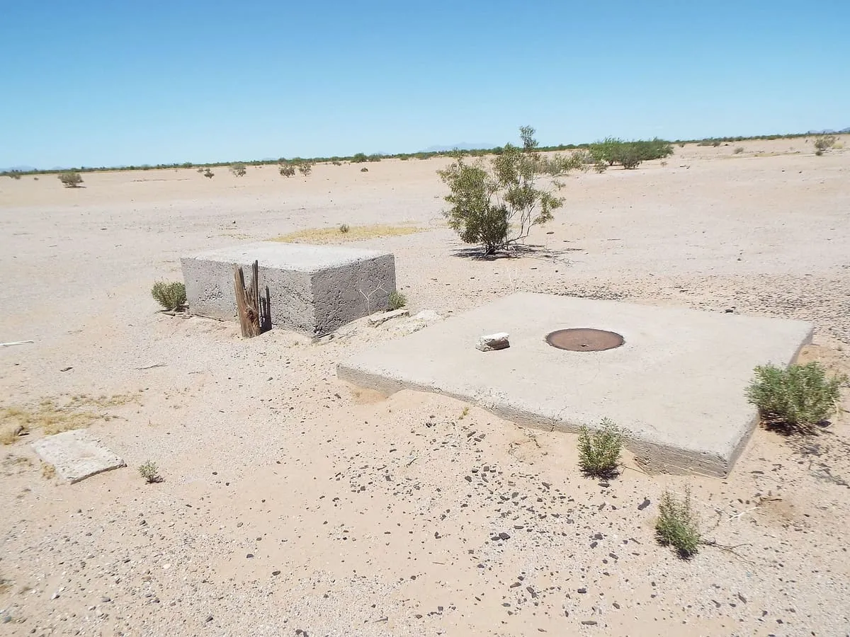
272 concrete survey markers on a 16-mile grid around Casa Grande, maintained from 1959 to 1972 and commonly but wrongly linked to the Corona satellites.
19 Score 32.7 out of 100 32.7
Museum
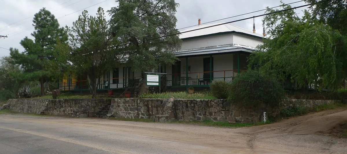
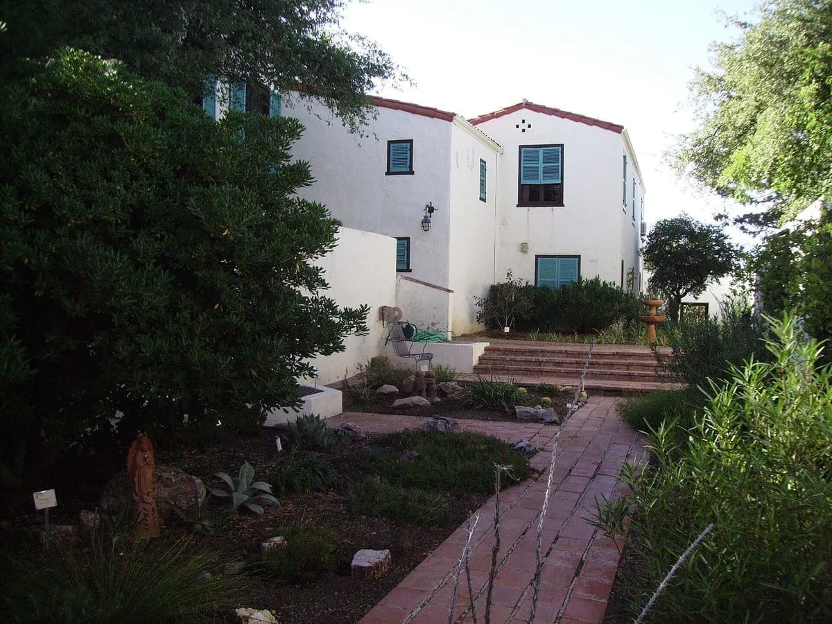
A historic Oracle ranch complex built 1885-1930, listed on the National Register in 1984 and run as a museum by the Oracle Historical Society.
20 Score 25.5 out of 100 25.5
Historic Site
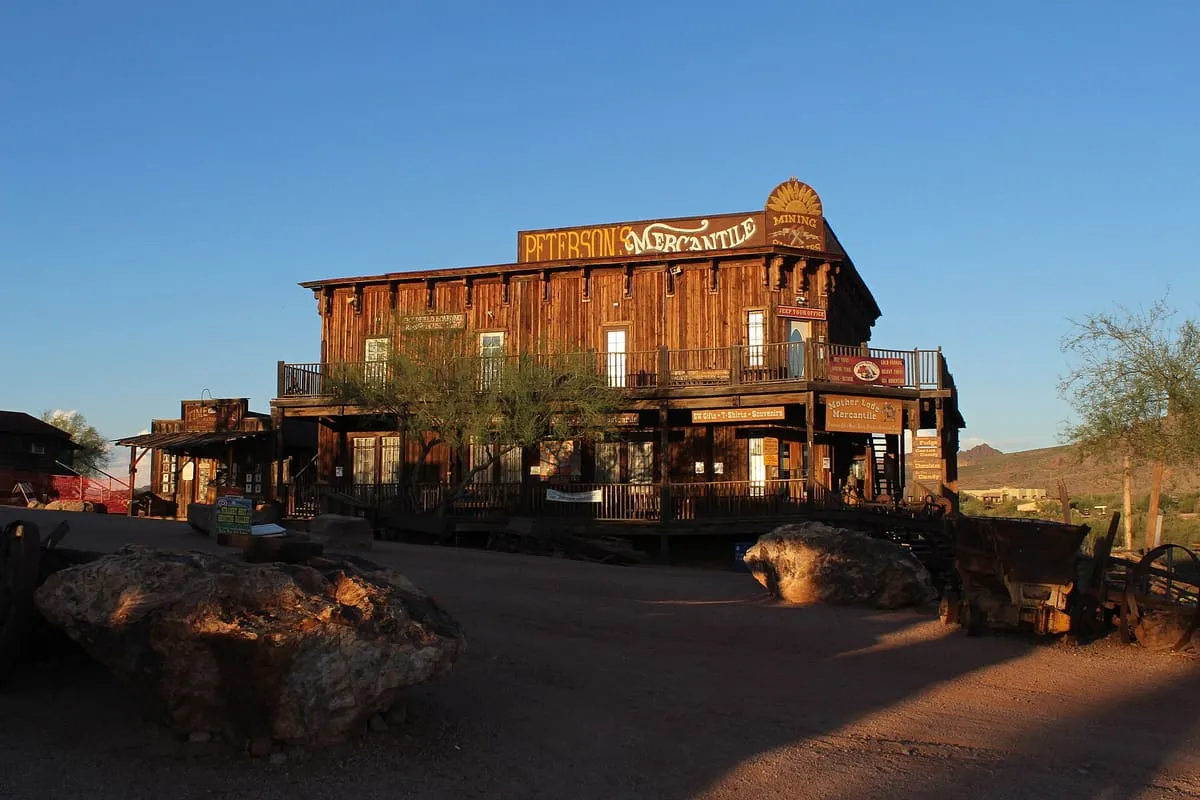
An 1893 mining settlement below the Superstition Mountains, rebuilt in full as a visitor attraction.
21 Score 25.5 out of 100 25.5
Natural Landmark
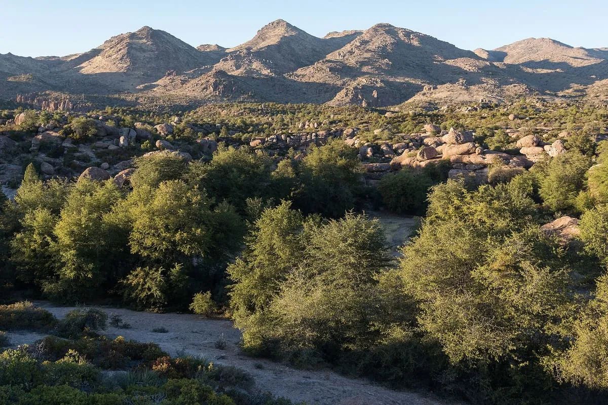
Superstition Wilderness, in Pinal County, Arizona, is a Tonto National Forest area covering the Superstition Mountains, with trails and dispersed camping.
22 Score 24.2 out of 100 24.2
Museum
Casa Grande Art Museum, in Casa Grande, Arizona.
23 Score 24.2 out of 100 24.2
Museum
Pinal Geology & Mineral Museum, in Coolidge, Pinal County, Arizona, displays minerals and fossilised dinosaur bones.
24 Score 24.2 out of 100 24.2
Museum
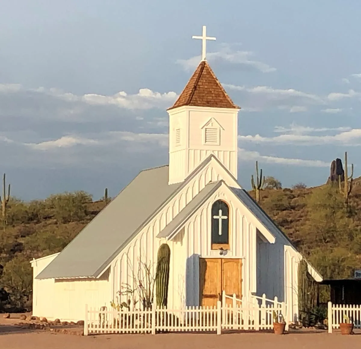
Superstition Mountain Museum, in Apache Junction, Arizona, spans 12.5 acres and includes the relocated Elvis Memorial Chapel and Audie Murphy Barn.
25 Score 21.8 out of 100 21.8
State Park
A 3,948-acre wildlife refuge and state park in the foothills of the Santa Catalina Mountains near Oracle.
26 Score 19.8 out of 100 19.8
Landmark
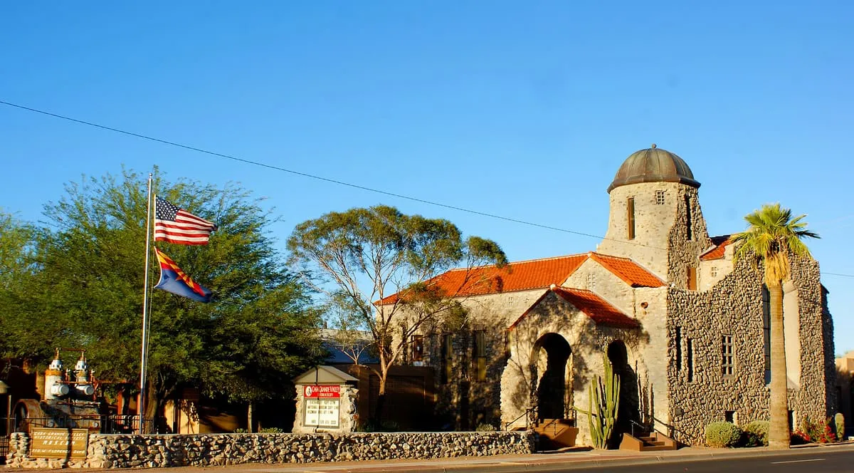
Downtown Casa Grande's historic district, home to a number of buildings on the National Register of Historic Places.
27 Score 19.8 out of 100 19.8
Landmark
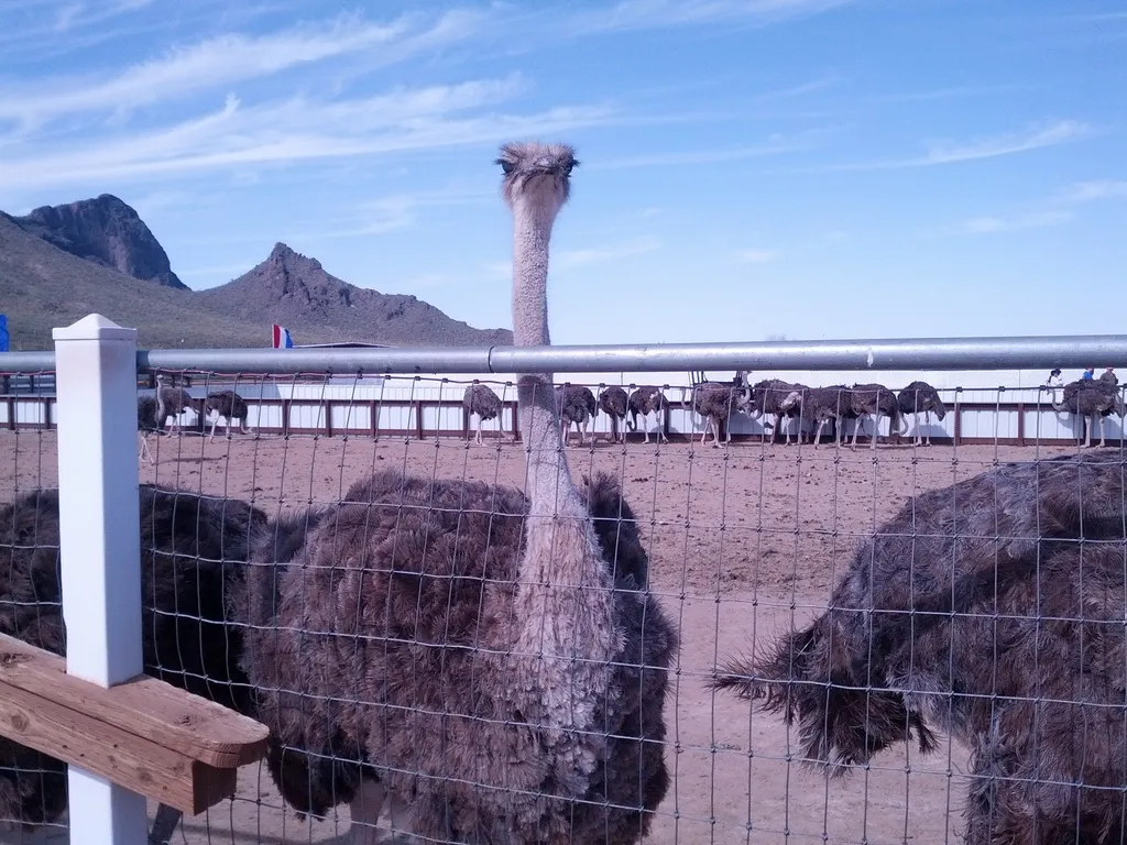
Rooster Cogburn Ostrich Ranch, near Picacho, Arizona, lets visitors feed ostriches and other animals and offers monster truck tours of the ranch.
28 Score 18.0 out of 100 18.0
State Historic Park
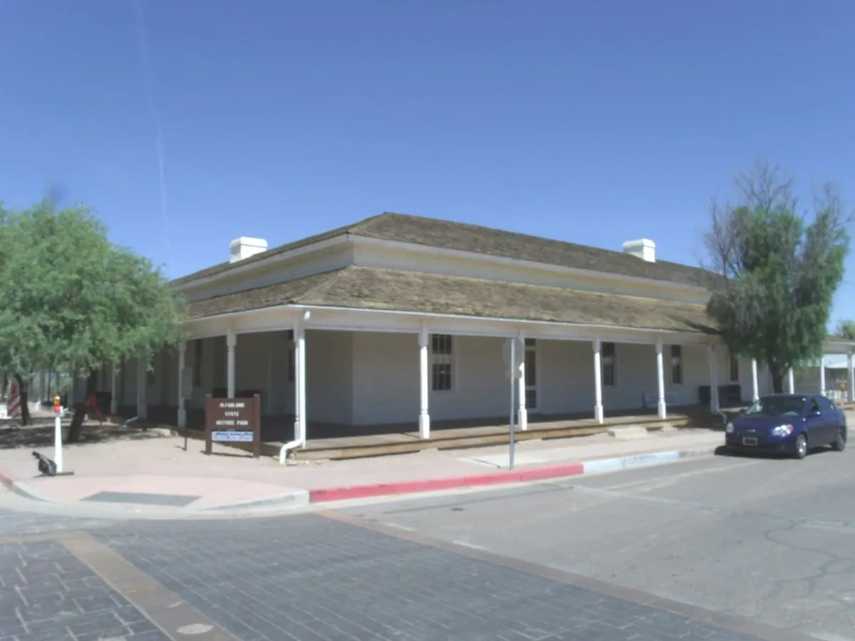
A preserved territorial courthouse in Florence, commemorating Ernest McFarland, who bought and donated it.