2.8 miles away

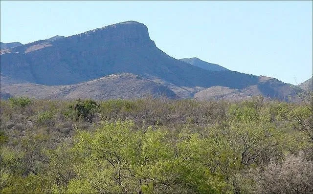
Whetstone Mountains
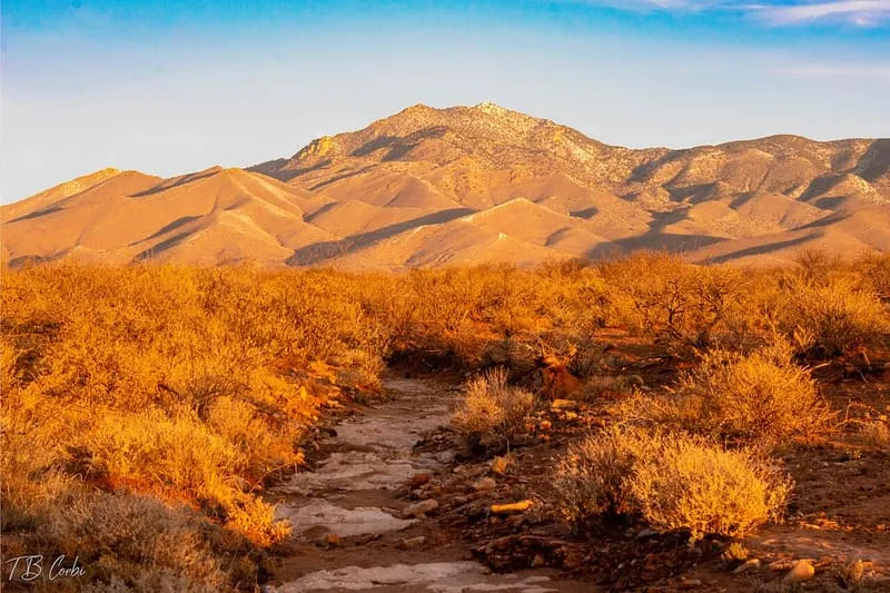
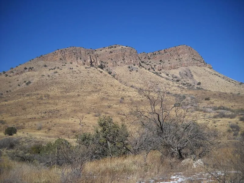
A range in south-eastern Arizona named in 1859 for its novaculite, a fine-grained rock used to sharpen tools.
- Rank in Arizona
- #239of 727 ranked
- Overall score
- Score 44.6 out of 100medium confidence
- Category
- Natural Landmark
The Whetstone Mountains are a range of mountains in Cochise County, in south-eastern Arizona. The Opata called them Babocomari, a name still attached to the nearby Babocomari River, and the Spanish continued it as Sierra del Babocomari. The present name was given by Colonel Benjamin Bonneville, who reported on an inspection tour of the area in May 1859 and noted the deposit of novaculite the mountains contain, a hard fine-grained rock that could be used as whetstones to sharpen cutlery and tools.
Where it is
Whetstone Mountains is a natural landmark near Benson, in Cochise County. It is one of the natural landmarks in this database, and appears in the statewide ranking of Arizona attractions.
How this ranking was reached
No official visitor count is published for Whetstone Mountains, so its score rests on public interest and tourism significance, and is capped below the level a measured attraction can reach. That is why the medium confidence above is not higher. The weighting is explained in full on the methodology page, and every axis is broken out under Facts and sources at the foot of this page.
Note on the data: No official visitor count is published for this attraction.
Sources
- Public interest: Wikimedia pageviews (en.wikipedia, human traffic), 2024
- Coordinates and designations: Wikidata(opens in a new tab)
- County: U.S. Census geography via FCC Area API, resolved from coordinates
Record last verified 2026-08-12.
More photographs

Timothy Corbin, CC BY-SA 2.0 · licence(opens in a new tab) · source(opens in a new tab) 
dedhed1950, CC BY-SA 2.0 · licence(opens in a new tab) · source(opens in a new tab)
Nearby attractions
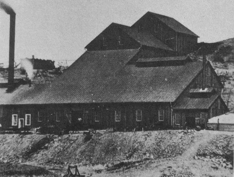
- A Cochise County canyon near Benson named for an early prospector, known for reliable springs and used by birdwatchers.
4.1 miles away
Guindani Trail (#398)
A steep Cochise County trail to San Pedro Valley views of the Huachuca and Dragoon Mountains, starting within Kartchner Caverns State Park.4.6 miles away
Iron Springs (Cochise County, Arizona)
A spring in the Whetstone Mountains where Wyatt Earp killed William "Curly Bill" Brocius in March 1882, later mapped as Mescal Springs.
4.7 miles away
Kartchner Caverns State Park
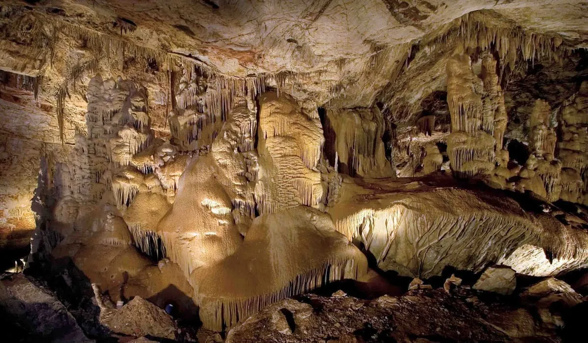
A living limestone cave near Benson, found in 1974 and kept from the public while conservation measures were designed.
13 miles away
San Pedro Valley Arts & Historical Society
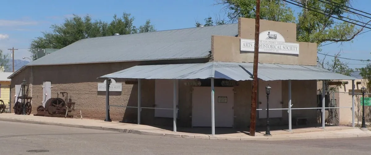
San Pedro Valley Arts & Historical Society, in Benson, Arizona, displays local and regional history and sells local artisans' work in its gift shop.
13 miles away
Contention City
A ghost mining town in Cochise County, settled and abandoned in the 1880s with the rise and fall of silver mining near Tombstone.
Facts and sources
Place
- Category
- Natural Landmark
- Destination
- Benson
- County
- Cochise County
- State
- Arizona
Visitation
- Annual visits
- Not published
Ranking
- Overall score
- 44.6 / 100
- Visitation score
- No published count
- Popularity score
- 28.4
- Significance score
- 58.0
- Confidence
- medium
Visiting
- Coordinates
- 31.8100, -110.4200
- Last verified
- 2026-08-12