0.6 miles away
Guindani Trail (#398)
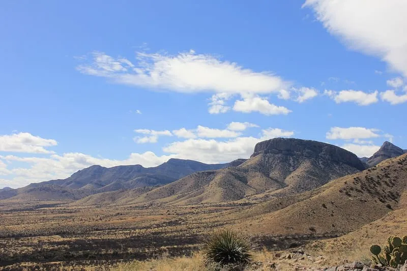
A steep Cochise County trail to San Pedro Valley views of the Huachuca and Dragoon Mountains, starting within Kartchner Caverns State Park.
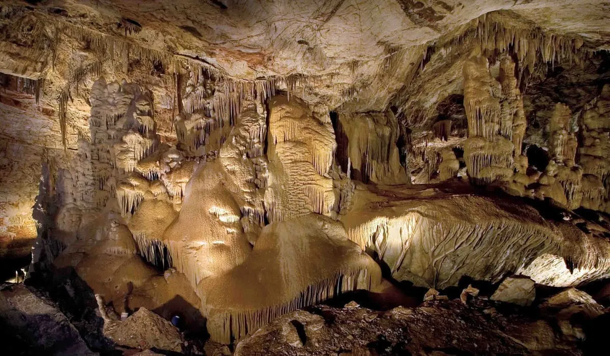
A living limestone cave near Benson, found in 1974 and kept from the public while conservation measures were designed.
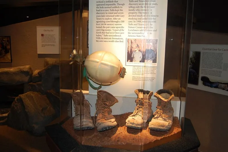
Kartchner Caverns State Park is an Arizona state park nine miles south of Benson and west of the north-flowing San Pedro River, built around a show cave with 2.4 miles of mapped passages. The caverns were discovered in 1974 by local cavers, among them the geologist Randy Tufts, and their existence was withheld from the public while conservation measures were designed; the state biologist Erick Campbell assisted in their preservation. The park covers most of a down-dropped block of Palaeozoic rocks on the east flank of the Whetstone Mountains. The cave is carved from limestone and holds speleothems that have been growing for at least 50,000 years and are growing still. Development of the site was planned from the outset to protect the formations in perpetuity: visitors enter through airlock doors that hold the cave's humidity in, and access is by guided tour only. It recorded 155,562 visits in 2024.
Kartchner Caverns State Park is a state park near Benson, in Cochise County. It is one of the state parks in this database, and appears in the statewide ranking of Arizona attractions.
The score combines the published visitor count with public interest and tourism significance, which is what earns it high confidence. The weighting is explained in full on the methodology page, and every axis is broken out under Facts and sources at the foot of this page.
Record last verified 2026-08-12.
0.6 miles away
2.4 miles away
4.7 miles away
8.0 miles away
9.5 miles away
9.8 miles away