Home Counties Graham County 11 attractions
1 Score 56.4 out of 100 56.4
Natural Landmark
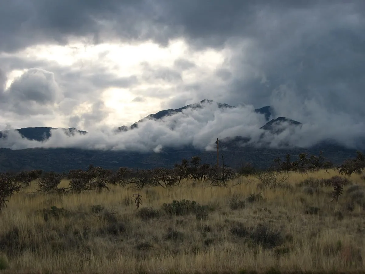
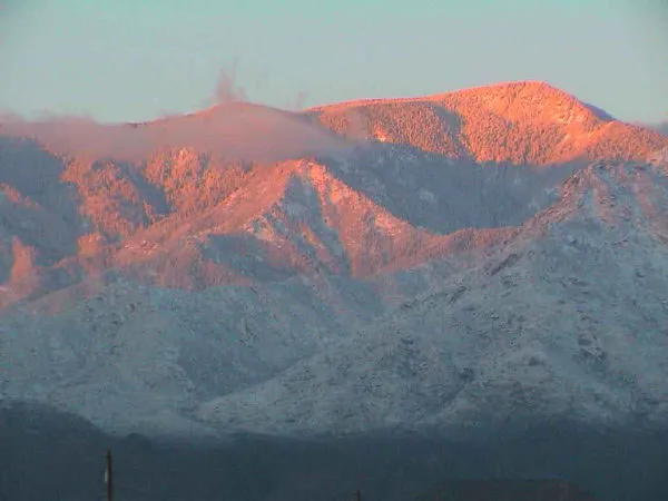
A 10,720-foot peak north-east of Tucson, the highest in the Pinaleño Mountains and the southernmost land above 10,000 feet in the country.
2 Score 55.3 out of 100 55.3
Observatory
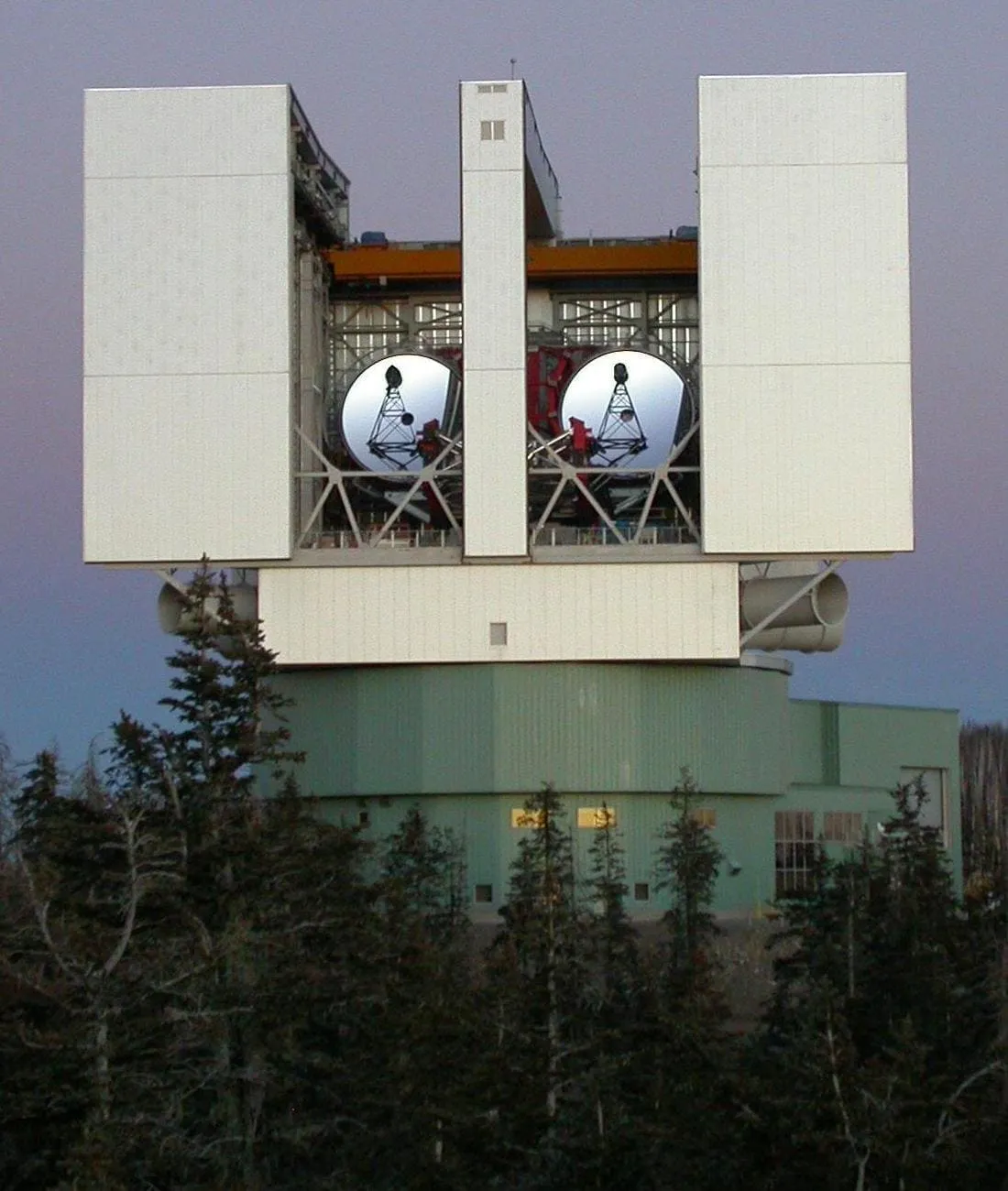
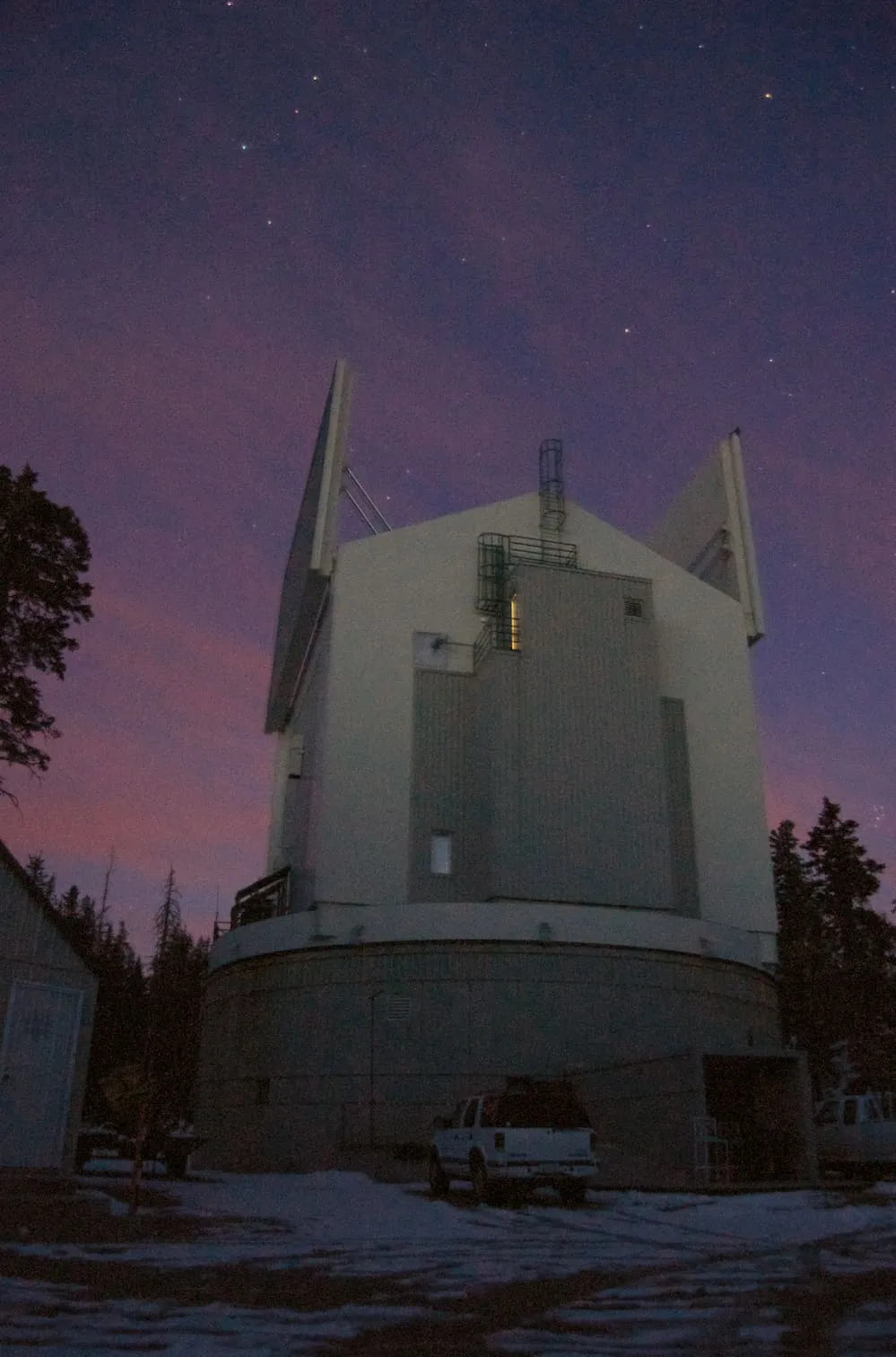
An optical telescope on Mount Graham whose paired 8.4-metre mirrors give it the light-gathering power of an 11.8-metre instrument.
3 Score 48.6 out of 100 48.6
Observatory
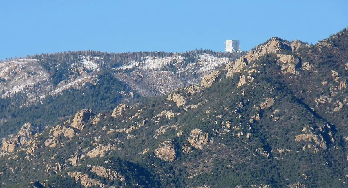
A University of Arizona observatory in the Pinaleño Mountains, site of the Large Binocular Telescope and contested since construction began in 1989.
4 Score 44.7 out of 100 44.7
Natural Landmark
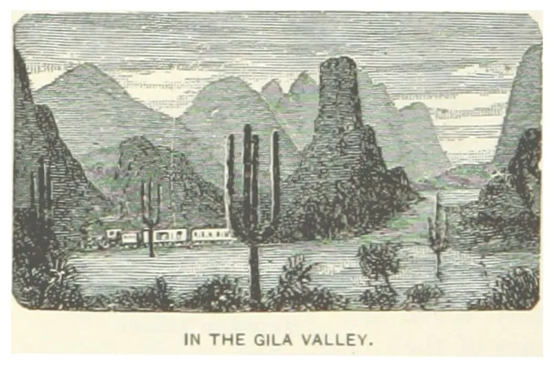
The multi-sectioned valley of the Gila River, running west across Arizona from New Mexico to the Colorado River.
5 Score 39.9 out of 100 39.9
Natural Landmark
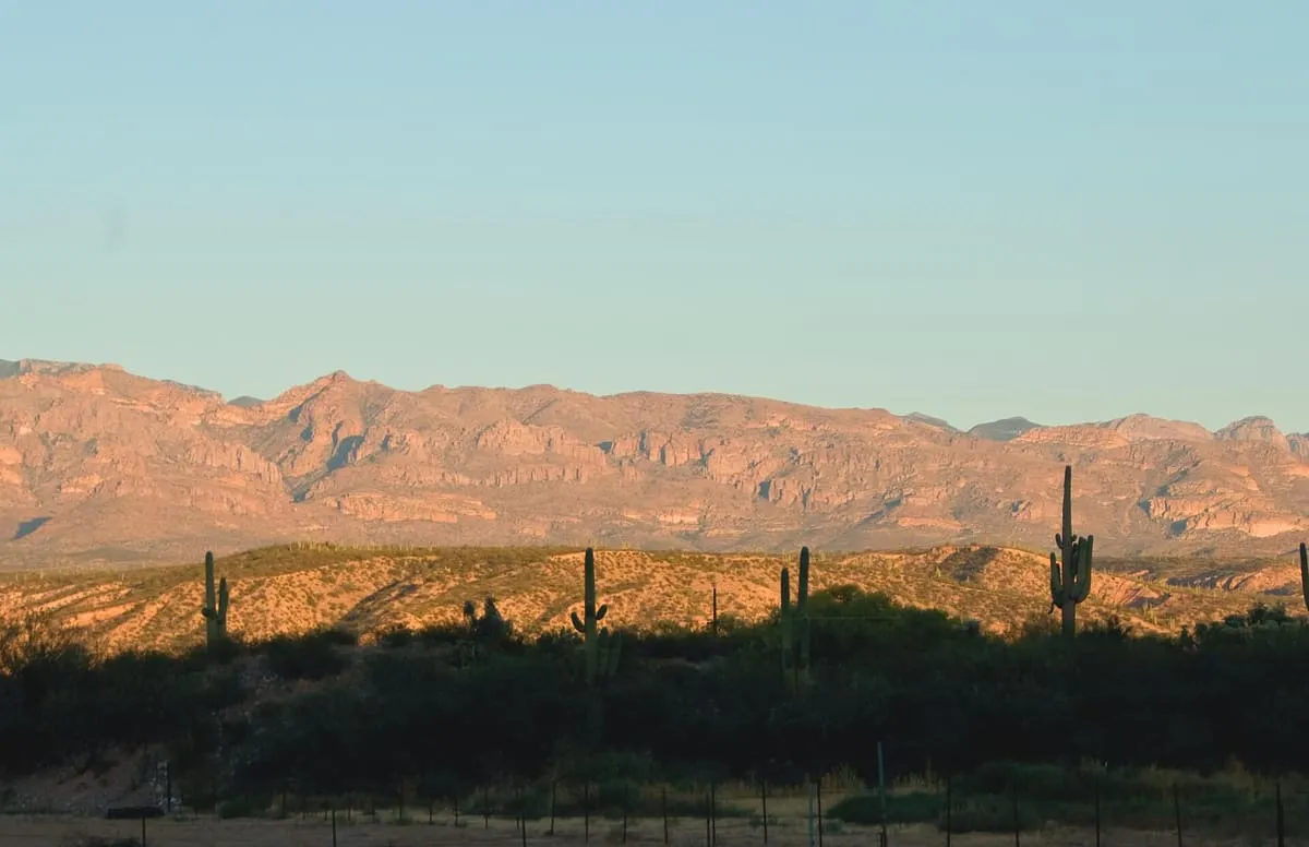
A rugged sky island range in south-eastern Arizona, taking in the Galiuro and Aravaipa Canyon wilderness areas.
6 Score 39.9 out of 100 39.9
Historic Site
Archaeological sites on the San Carlos Apache Reservation where a 1946-60 field school found Ancestral Pueblo, Mogollon and Hohokam evidence.
7 Score 37.8 out of 100 37.8
Landmark
A Madrean sky island range near Safford with over 7,000 feet of relief, rising to Mount Graham at 10,720 feet.
8 Score 37.5 out of 100 37.5
Observatory
A 10-metre submillimetre radio telescope on Mount Graham, completed in 1993 and part of the Mount Graham International Observatory.
9 Score 35.7 out of 100 35.7
State Park
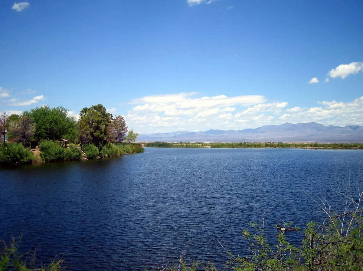
An Arizona state park around a 32-acre lake five miles south of Safford, below the Pinaleño Mountains.
10 Score 27.3 out of 100 27.3
State Park
A subunit of Roper Lake State Park near Safford with fishing and birdwatching, and a recreated Paleo-Indian village on an interpretive trail.
11 Score 25.5 out of 100 25.5
Historic Site
Sanchez CCC Camp, near Safford, Arizona, preserves several buildings of a Depression-era Civilian Conservation Corps camp, managed by the BLM.
Destinations in this county Globe · Oracle · Safford
County is resolved from each attraction's coordinates against U.S. Census geography rather than entered by hand, so a place near a county line is filed where it actually sits.