31 miles away
Christmas
An uninhabited Gila County mining community named for the claim staked on Christmas Day 1902, once a magnet for holiday mail.
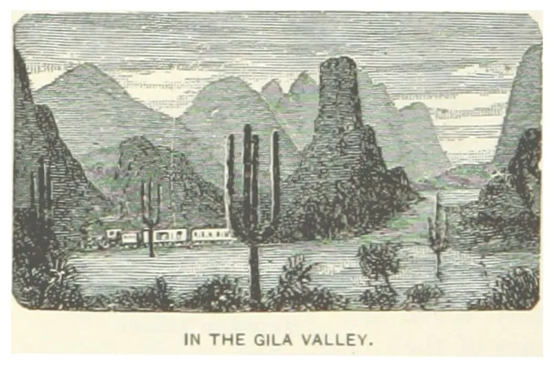
The multi-sectioned valley of the Gila River, running west across Arizona from New Mexico to the Colorado River.
The Gila River Valley is a multi-sectioned valley of the Gila River, lying mostly in Arizona. The river forms in western New Mexico and flows west across south-eastern, south-central and south-western Arizona, changing direction as it crosses the state and defining a succession of distinct areas and valleys. Its central portion runs through the southern part of the Phoenix valley region, where the Salt River Valley joins it, and the final sections in the south-west form smaller irrigated valleys such as Dome Valley, Mohawk Valley and Hyder Valley. Two mountain ranges take their name from the river: the Gila Mountains of Graham County, which border the valley north-east of Safford, and the Gila Mountains of Yuma County, east of Yuma and the Fortuna Foothills, which border it above the confluence with the Colorado River.
Gila Valley is a natural landmark near Globe, in Graham County. It is one of the natural landmarks in this database, and appears in the statewide ranking of Arizona attractions.
No official visitor count is published for Gila Valley, so its score rests on public interest and tourism significance, and is capped below the level a measured attraction can reach. That is why the medium confidence above is not higher. The weighting is explained in full on the methodology page, and every axis is broken out under Facts and sources at the foot of this page.
Note on the data: No official visitor count is published for this attraction.
Record last verified 2026-08-12.
31 miles away

33 miles away
35 miles away
35 miles away
36 miles away
37 miles away