5.4 miles away
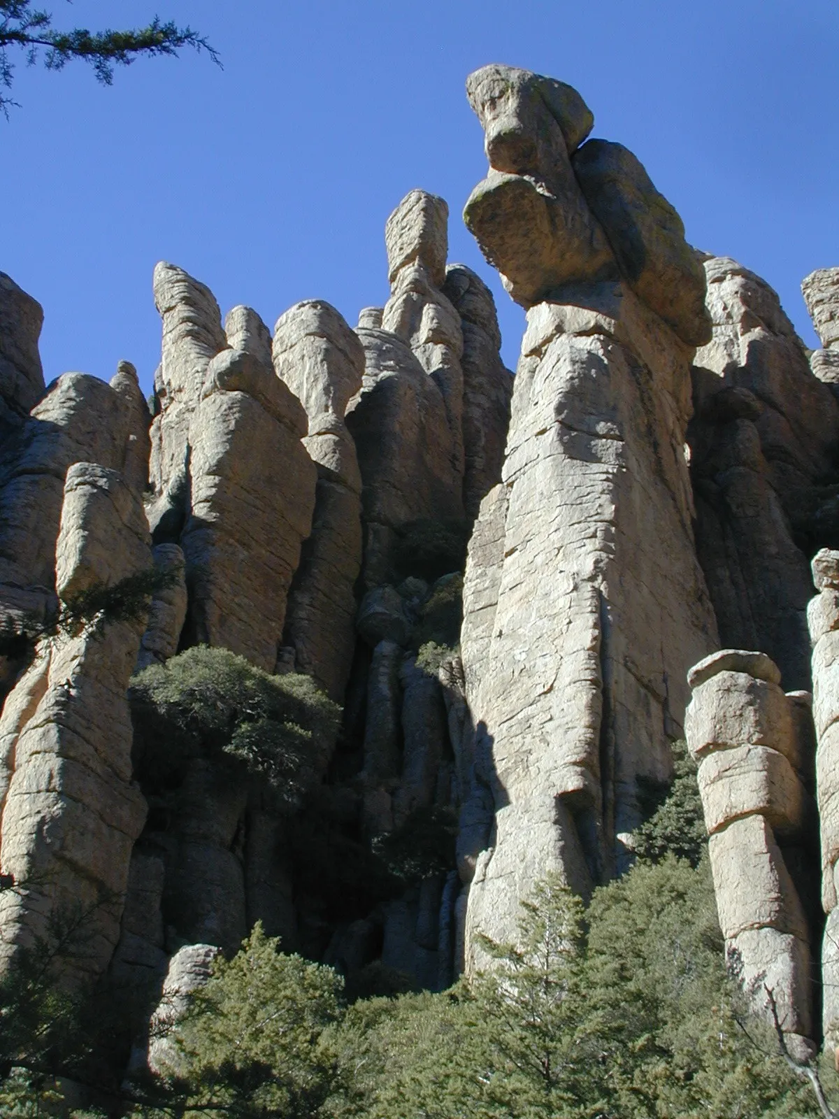
Chiricahua National Monument
A National Park System unit in south-eastern Arizona, established in 1924 to protect its hoodoos and balancing rocks.
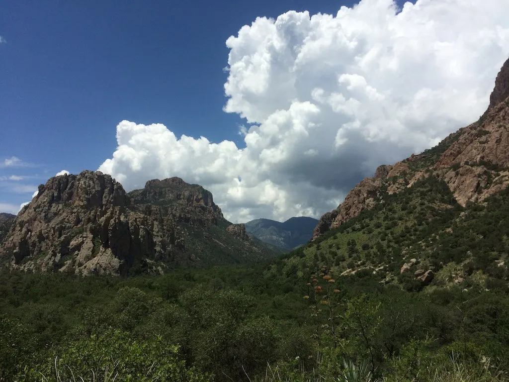
A range in south-eastern Arizona rising to 9,759 feet at Chiricahua Peak, lying largely within the Coronado National Forest.
The Chiricahua Mountains are a range in south-eastern Arizona, part of the Basin and Range province of the western and south-western United States and north-western Mexico. The range lies primarily within the Coronado National Forest. Chiricahua Peak, its highest point, rises 9,759 feet above sea level, about 6,000 feet above the surrounding valleys. The mountains are named after the Chiricahua Apache, who historically lived in the region.
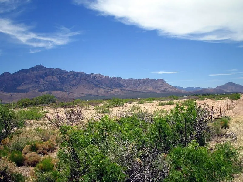
Chiricahua Mountains is a natural landmark near Chiricahua Mountains, in Cochise County. It is one of the natural landmarks in this database, and appears in the statewide ranking of Arizona attractions.
No official visitor count is published for Chiricahua Mountains, so its score rests on public interest and tourism significance, and is capped below the level a measured attraction can reach. That is why the medium confidence above is not higher. The weighting is explained in full on the methodology page, and every axis is broken out under Facts and sources at the foot of this page.
Note on the data: No official visitor count is published for this attraction.
Record last verified 2026-08-12.
5.4 miles away
5.5 miles away
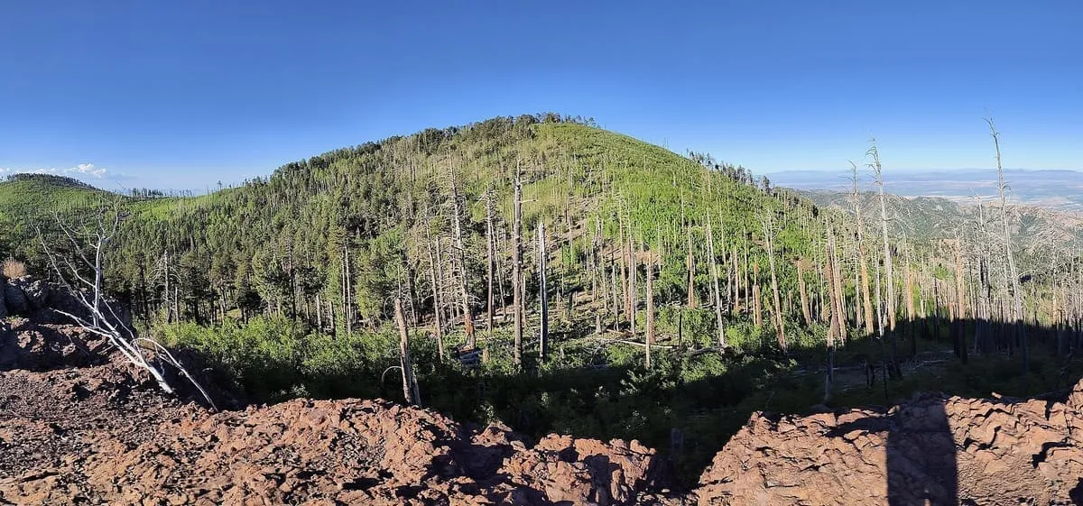
7.9 miles away
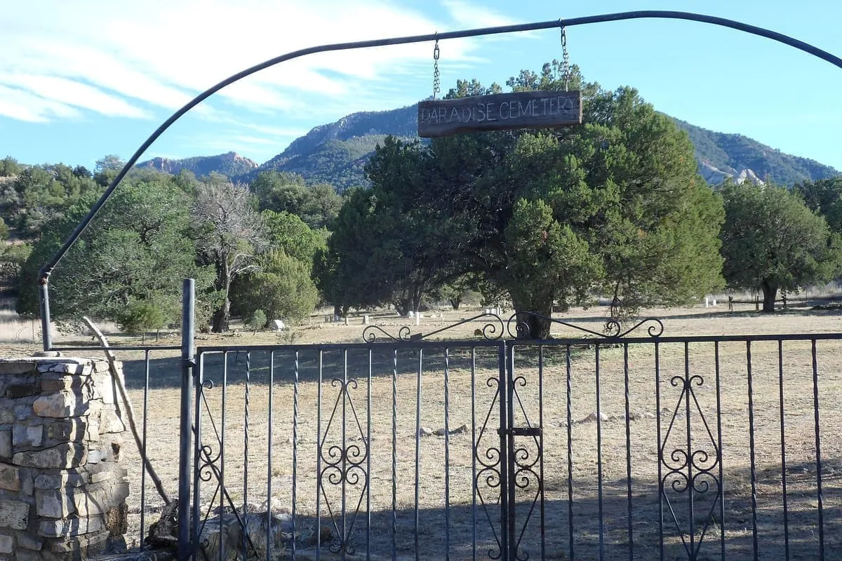
9.6 miles away
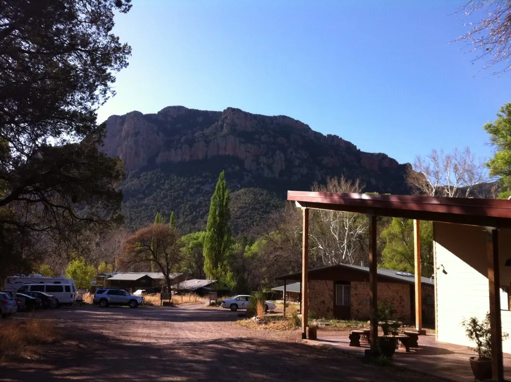
11 miles away
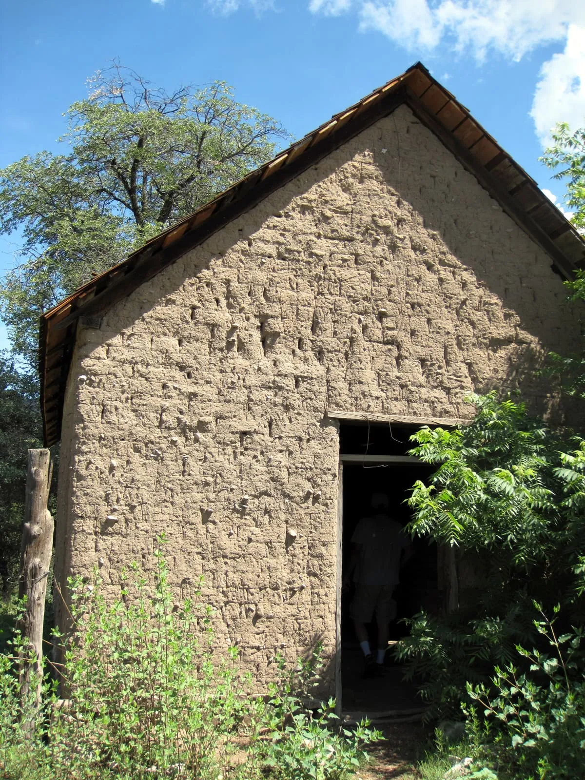
12 miles away