5.6 miles away
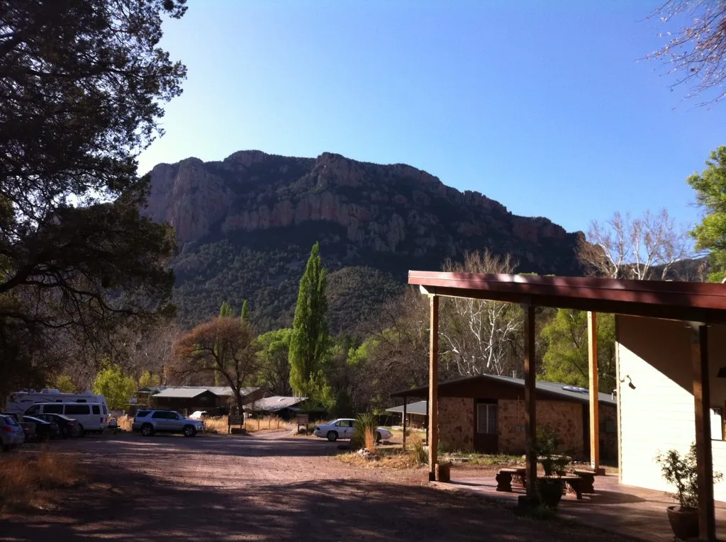
Southwest Research Station
Southwest Research Station, in the Chiricahua Mountains, Arizona, is run by the American Museum of Natural History and offers birdwatching tours.
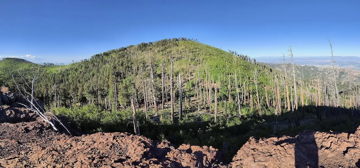
The highest point of the Chiricahua Mountains and of Cochise County, at 9,773 feet, with southernmost Engelmann spruce.
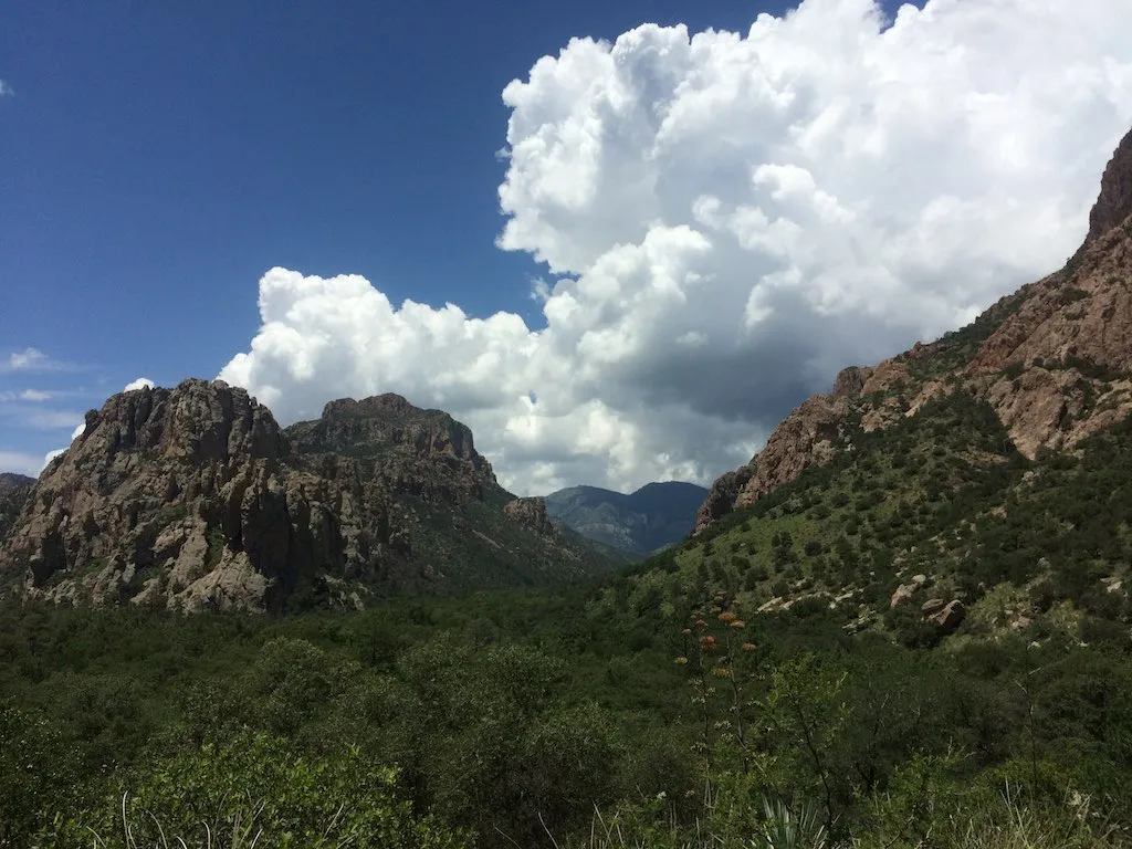
Chiricahua Peak is a 9,773-foot summit in the Chiricahua Mountains of south-eastern Arizona, about 35 miles north of the border with Mexico. It is the highest point of the range and of Cochise County. As with the rest of the Chiricahua Mountains, it was formed by a volcanic eruption about 27 million years ago. The peak carries one of the southernmost stands of Engelmann spruce in the world, and extensive stands of quaking aspen on its northern slope; much of it has burned in recent times, and aspen has spread into ground once held by evergreens. Views from the summit extend north and west across the Basin and Range to Mount Lemmon, Mount Graham and Mount Wrightson, and down to the Willcox Playa in the basin below. The Horseshoe 2 Fire of 2011 burned 223,000 acres within the Chiricahua Mountains and damaged the trail system considerably; most trails have since received only infrequent volunteer maintenance.
Chiricahua Peak is a natural landmark near Chiricahua Mountains, in Cochise County. It is one of the natural landmarks in this database, and appears in the statewide ranking of Arizona attractions.
No official visitor count is published for Chiricahua Peak, so its score rests on public interest and tourism significance, and is capped below the level a measured attraction can reach. That is why the medium confidence above is not higher. The weighting is explained in full on the methodology page, and every axis is broken out under Facts and sources at the foot of this page.
Note on the data: No official visitor count is published for this attraction.
Record last verified 2026-08-12.
5.6 miles away
7.5 miles away
7.5 miles away
7.9 miles away
12 miles away
12 miles away