Faraway Ranch
Faraway Ranch was the home of Swedish immigrants, Emma and Neil Erickson. Emma Peterson bought a two-room cabin in December of 1886. After she and Neil Erickson married in January 1887, they settled on the 160-acre homestead. In 1898 the couple expanded the cabin to a two-story, board-and-batten style frame house. In 1903 Neil became the first ranger for the Chiricahua Forest Reserve.
Facts and sources
Place
- Category
- Historic Site
- Destination
- Chiricahua National Monument
- County
- Cochise County
- State
- Arizona
Visitation
- Annual visits
- Not published
Ranking
- Overall score
- 25.5 / 100
- Visitation score
- No published count
- Popularity score
- No data
- Significance score
- 58.0
- Confidence
- low
Visiting
- Official website
- nps.gov(opens in a new tab)
- Coordinates
- 32.0087, -109.3736
- Last verified
- 2026-08-12
Where it is
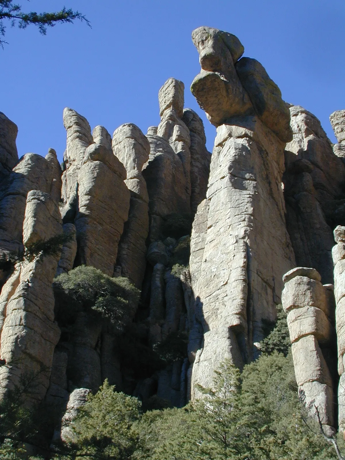
Faraway Ranch is a historic site near Chiricahua National Monument, in Cochise County. It is one of the historic sites in this database, and appears in the statewide ranking of Arizona attractions.
How this ranking was reached
This place scores 25.5 out of 100, at low confidence. No official visitor count is published for it, so the score rests on public interest and tourism significance, and is capped below the level a measured attraction can reach. The weighting is explained in full on the methodology page.
Note on the data: No official visitor count is published for this attraction.
Sources
- Description: Wikivoyage(opens in a new tab), used under CC BY-SA 4.0(opens in a new tab)
- Coordinates and designations: Wikivoyage(opens in a new tab)
- County: U.S. Census geography via FCC Area API, resolved from coordinates
- Official site: https://www.nps.gov/places/faraway-ranch.htm(opens in a new tab)
Record last verified 2026-08-12.
Nearby attractions


5.5 miles away
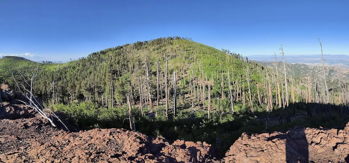
Chiricahua Mountains
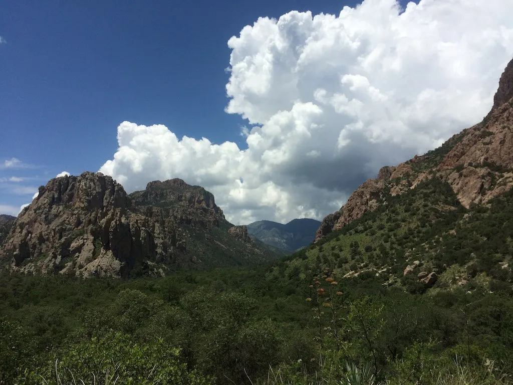
The Chiricahuas is a mountain range in southeastern Arizona and part of the Basin and Range province of the western and southwestern United States and northwestern Mexico. The range lies primarily within the Coronado National Forest. Chiricahua Peak, the highest point in the range, rises 9,759 feet (2,975 m) above sea level, about 6,000 feet (1,800 m) above the surrounding valleys.
10 miles away
Fort Bowie
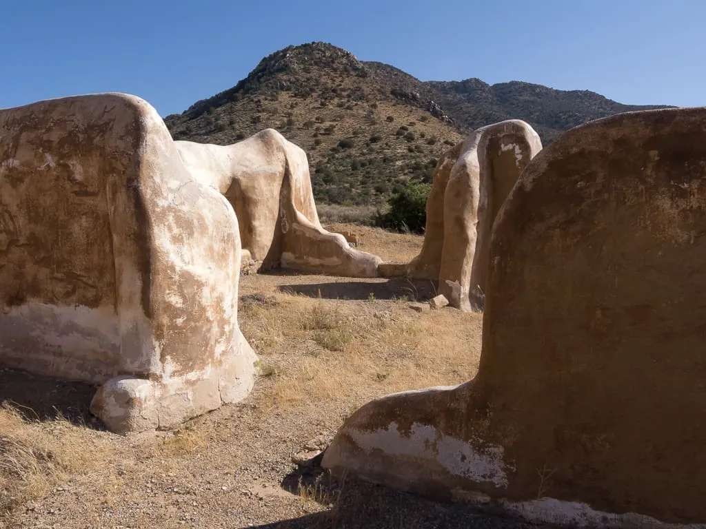
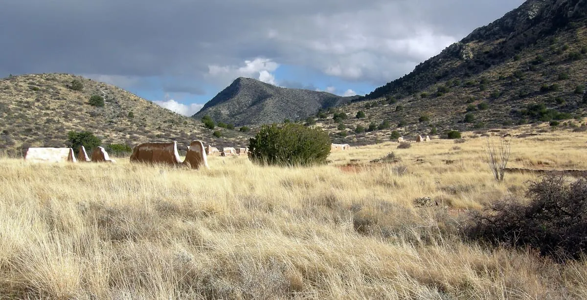
Fort Bowie was a 19th-century outpost of the United States Army located in southeastern Arizona near the present day town of Willcox, Arizona. The remaining buildings and site are now protected as Fort Bowie National Historic Site. Fort Bowie was established by the California Volunteers in 1862, after a series of engagements between the California Column and the Chiricahua Apaches.
10 miles away
Paradise
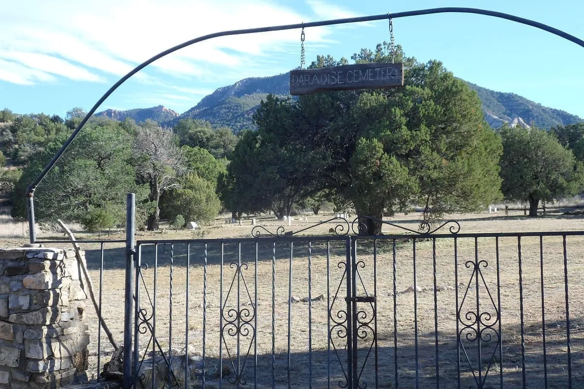
Paradise is a small ghost town located in Cochise County in the U.S. state of Arizona. The town was settled in 1901 in what was then the Arizona Territory.
12 miles away
Apache Pass
Apache Pass, also known by its earlier Spanish name Puerto del Dado ("Pass of the Die"), is a historic mountain pass in the U.S. state of Arizona between the Dos Cabezas Mountains and Chiricahua Mountains at an elevation of 5,110 feet (1,560 m). It is approximately 20 miles (32 km) east-southeast of Willcox, Arizona, in Cochise County.
12 miles away
Chiricahua Peak
Chiricahua Peak is a 9,773-foot (2,979 m) peak located in the Chiricahua Mountains of southeastern Arizona, located about 35 miles (56 km) north of the United States–Mexico border. It is the highest summit in the Chiricahua Mountains and the highest point in Cochise County. As with the rest of the Chiricahua Mountains, the peak was formed as the result of a violent volcanic eruption about 27 million years ago.