2.8 miles away
Four Peaks
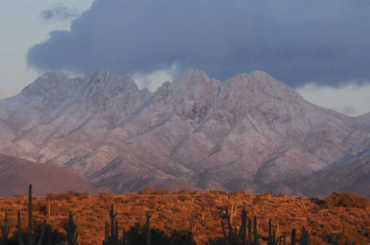
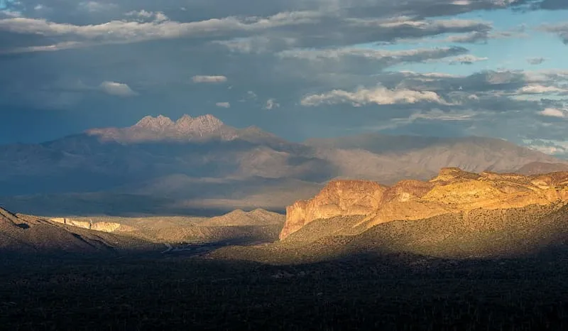
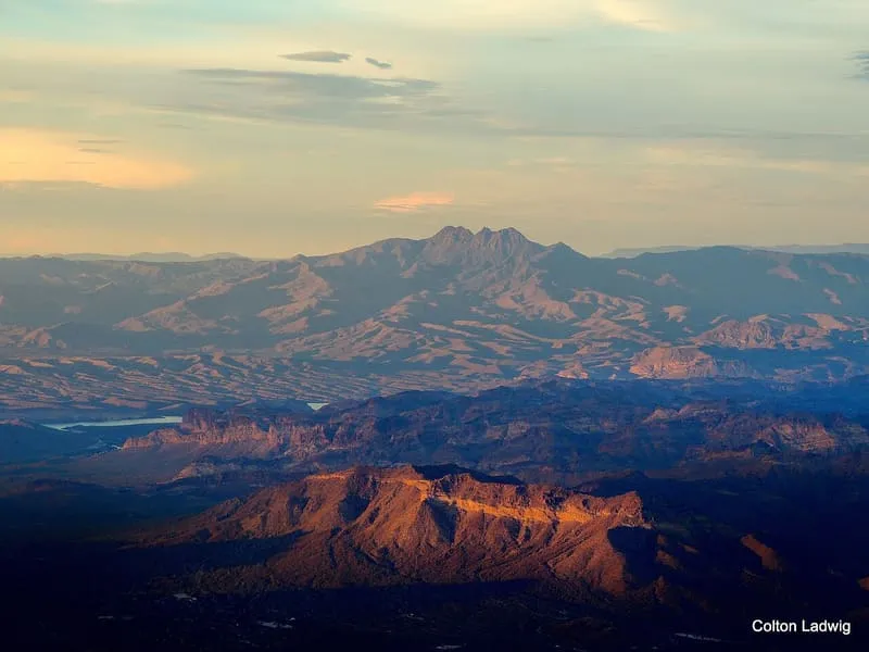
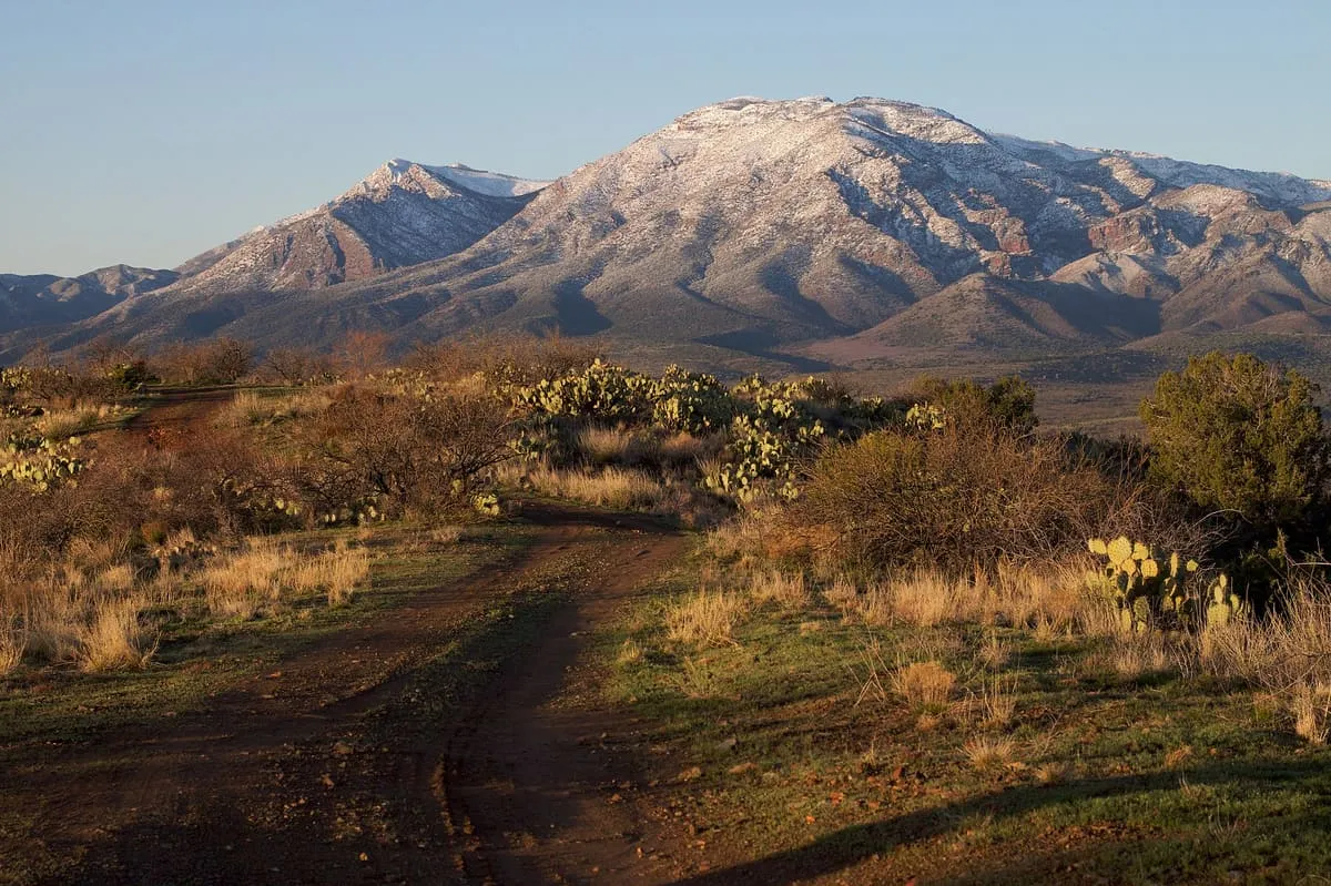
Four Peaks (Yavapai: Wi:khoba) is a prominent landmark on the eastern skyline of Phoenix. Part of the Mazatzal Mountains, it is located in the Four Peaks Wilderness in the Tonto National Forest, 40 miles (64 km) east-northeast of Phoenix. In winter, Four Peaks offers much of the Phoenix metro area a view of snow-covered peaks.

Facts and sources
Place
- Category
- Natural Landmark
- Destination
- Roosevelt
- County
- Maricopa County
- State
- Arizona
Visitation
- Annual visits
- Not published
Ranking
- Overall score
- 50.5 / 100
- Visitation score
- No published count
- Popularity score
- 41.6
- Significance score
- 58.0
- Confidence
- medium
Visiting
- Coordinates
- 33.6840, -111.3253
- Last verified
- 2026-08-12
Where it is
Four Peaks is a natural landmark near Roosevelt, in Maricopa County. It is one of the natural landmarks in this database, and appears in the statewide ranking of Arizona attractions.
How this ranking was reached
This place scores 50.5 out of 100, at medium confidence. No official visitor count is published for it, so the score rests on public interest and tourism significance, and is capped below the level a measured attraction can reach. The weighting is explained in full on the methodology page.
Note on the data: No official visitor count is published for this attraction.
Sources
- Description: Wikipedia(opens in a new tab), used under CC BY-SA 4.0(opens in a new tab)
- Public interest: Wikimedia pageviews (en.wikipedia, human traffic), 2024
- Coordinates and designations: Wikidata(opens in a new tab)
- County: U.S. Census geography via FCC Area API, resolved from coordinates
Record last verified 2026-08-12.
Nearby attractions
- The Mazatzal Mountains (MAH-zaht-ZAL, locally Ma-tuh-ZEL) are a mountain range in south central Arizona, about 30–45 miles northeast of the Phoenix metropolitan area. The origin of the name remains obscure but one possibility is that it is from the Nahuatl language meaning "place of the deer". The crest of the Mazatzals forms the county line between Maricopa County and Gila County.

7.5 miles away
Skeleton Cave
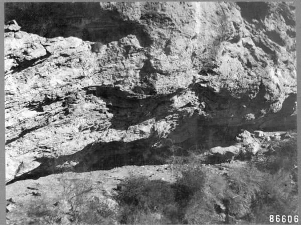
Skeleton Cave is a cave in Maricopa County, Arizona, United States. The cave is within the Salt River Canyon Wilderness and is located on the northern wall of the Salt River Canyon near the Horse Mesa Dam. It was the site of the 1872 massacre of the Yavapai people in the Battle of Salt River Canyon.
10 miles away
Theodore Roosevelt Lake
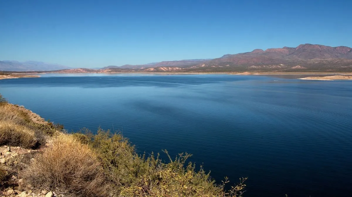
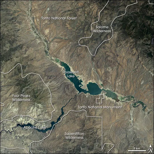
Theodore Roosevelt Lake (usually called Roosevelt Lake, sometimes Lake Roosevelt) is a large reservoir formed by Theodore Roosevelt Dam on the Salt River in Arizona as part of the Salt River Project (SRP). Located roughly 80 miles (130 km) northeast of Phoenix in the Salt River Valley, Theodore Roosevelt is the largest lake or reservoir located entirely within the state of Arizona (Lake Mead and Lake Powell are larger but are both located partially within the bordering states of Nevada and Utah respectively).10 miles away
Tonto Basin
The Tonto Basin, also known as Pleasant Valley, covers the main drainage basin of Tonto Creek and its tributaries in central Arizona, at the southwest of the Mogollon Rim, the higher elevation transition zone across central and eastern Arizona. Although the word tonto means silly or foolish in Spanish, this place name is derived from the Apache word, Koun’nde, which means wild, rough people and refers to the indigenous Dilzhe’e Tonto Apache. Tonto Basin is mostly north-south trending and outflows into the Salt River at the extensive canyon reservoir called Theodore Roosevelt Lake.
12 miles away
Canyon Lake
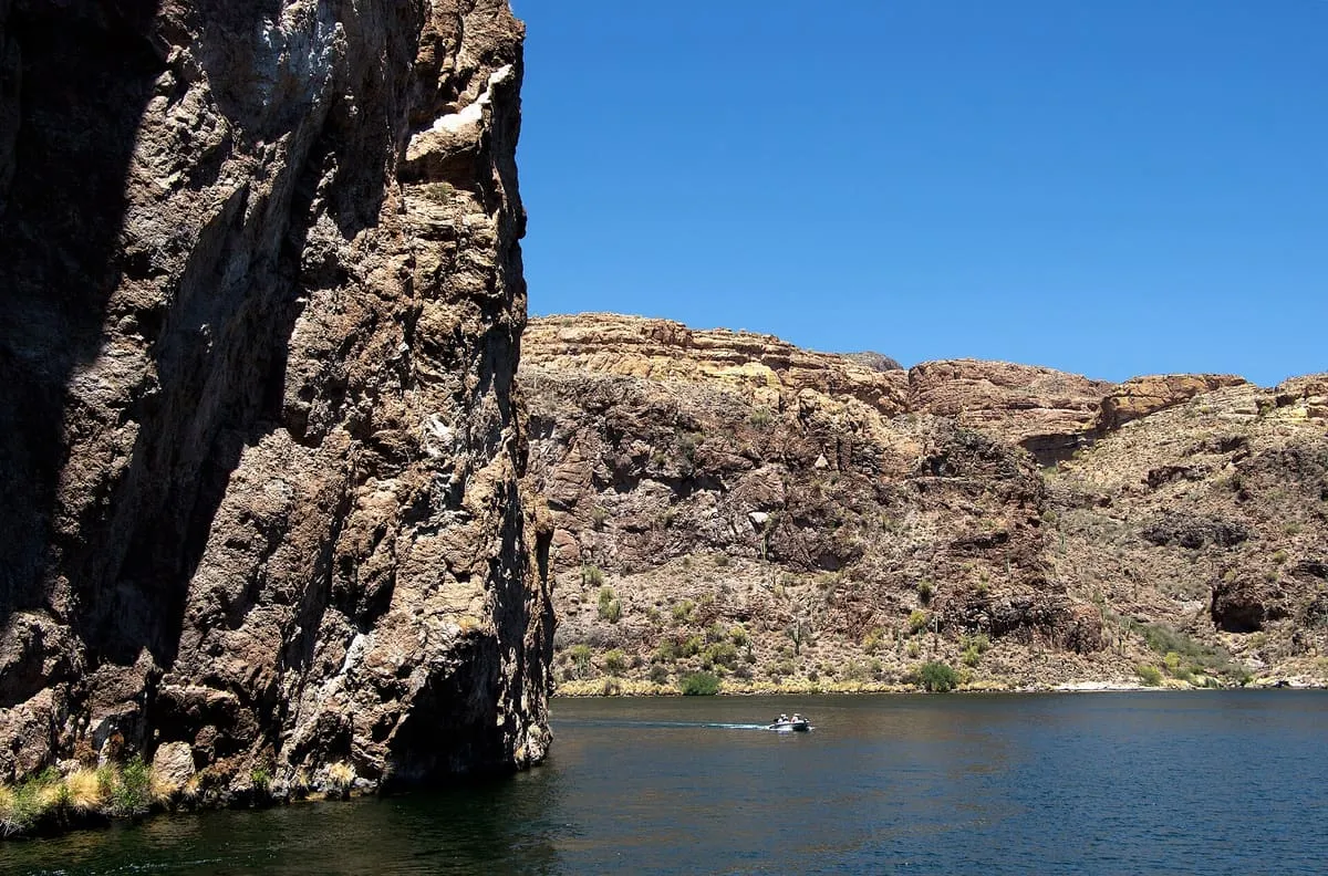
Canyon Lake is one of four reservoirs that were formed by the damming of the Salt River in the U.S. state of Arizona as part of the Salt River Project. It was formed by the Mormon Flat Dam, which was completed in 1925 after two years of construction.