3.4 miles away
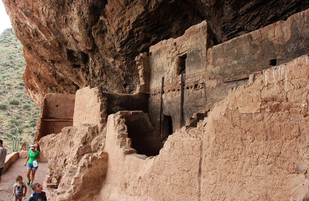
Tonto National Monument
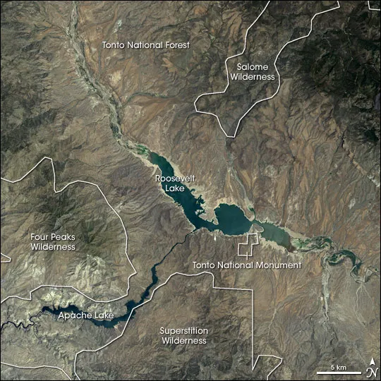
A national monument in the Superstition Mountains of Gila County, at the edge of the Sonoran Desert ecoregion.
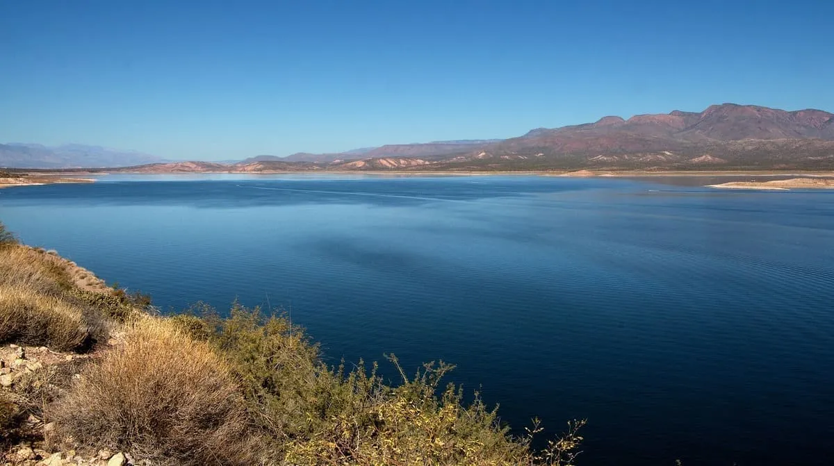
The largest reservoir lying entirely within Arizona, formed on the Salt River by a dam Theodore Roosevelt dedicated in 1911.
Theodore Roosevelt Lake, usually called Roosevelt Lake, is a reservoir on the Salt River formed by Theodore Roosevelt Dam, about 80 miles north-east of Phoenix in the Salt River Valley. It is the largest lake or reservoir lying entirely within Arizona; Lake Mead and Lake Powell are larger but extend into Nevada and Utah respectively. The reservoir and the masonry dam that created it are both named after President Theodore Roosevelt, who dedicated the dam himself on 18 March 1911. It is the oldest of the six reservoirs built and operated by the Salt River Project, and has the largest storage capacity of them, holding 1,653,043 acre-feet at the conservation limit of Roosevelt Dam. In flood-control mode the lake can store 2,910,200 acre-feet, though the US Army Corps of Engineers requires all water above the conservation limit to be released within 20 days. The lake lies within the Tonto National Forest, which manages the facilities around it.
Theodore Roosevelt Lake is a natural landmark near Roosevelt, in Gila County. It is one of the natural landmarks in this database, and appears in the statewide ranking of Arizona attractions.
No official visitor count is published for Theodore Roosevelt Lake, so its score rests on public interest and tourism significance, and is capped below the level a measured attraction can reach. That is why the medium confidence above is not higher. The weighting is explained in full on the methodology page, and every axis is broken out under Facts and sources at the foot of this page.
Note on the data: No official visitor count is published for this attraction.
Record last verified 2026-08-12.
3.4 miles away
10 miles away
13 miles away
14 miles away
14 miles away
14 miles away