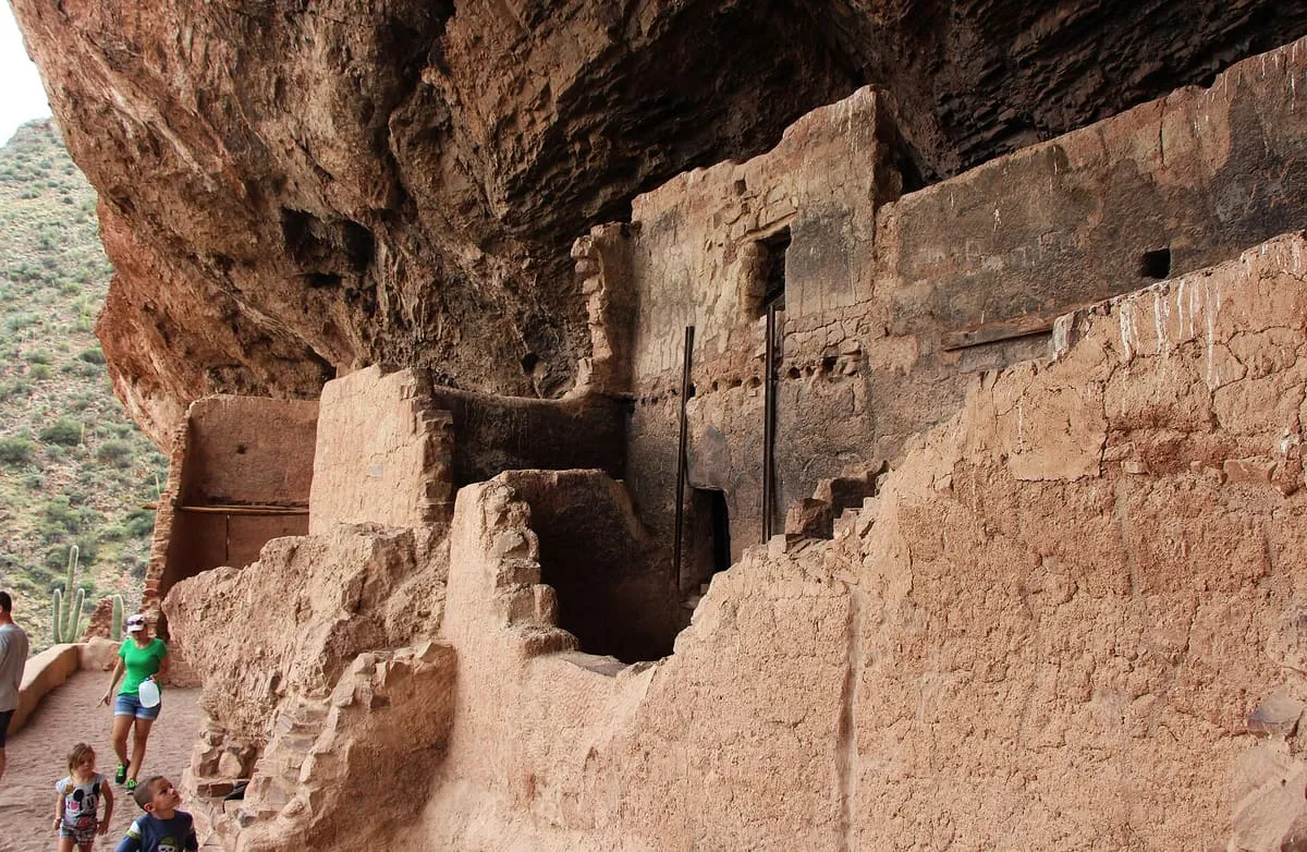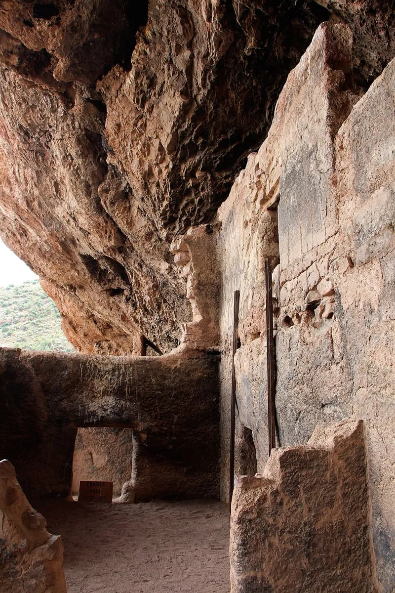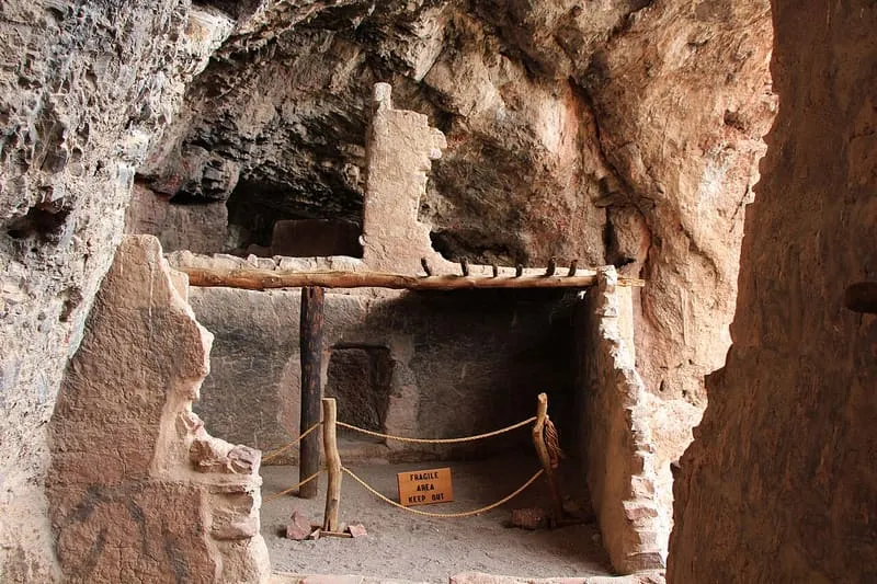
Two well-preserved cliff dwellings occupied by the Salado culture in the 13th to 15th centuries, overlooking Roosevelt Lake. The Upper Cliff Dwelling is reachable only on a ranger-guided hike in the cooler months. It recorded 30,840 recreation visits in 2024.
This place scores 39.3 out of 100, at high confidence. The score combines its published visitor count with public interest and tourism significance. The weighting is explained in full on the methodology page.
Note on the data: The 2025 series reports zero recreation visits for month 10, a reporting gap rather than a measured figure, so 2024 is used as the reference year.
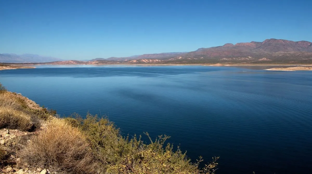
Theodore Roosevelt Lake (usually called Roosevelt Lake, sometimes Lake Roosevelt) is a large reservoir formed by Theodore Roosevelt Dam on the Salt River in Arizona as part of the Salt River Project (SRP). Located roughly 80 miles (130 km) northeast of Phoenix in the Salt River Valley, Theodore Roosevelt is the largest lake or reservoir located entirely within the state of Arizona (Lake Mead and Lake Powell are larger but are both located partially within the bordering states of Nevada and Utah respectively).
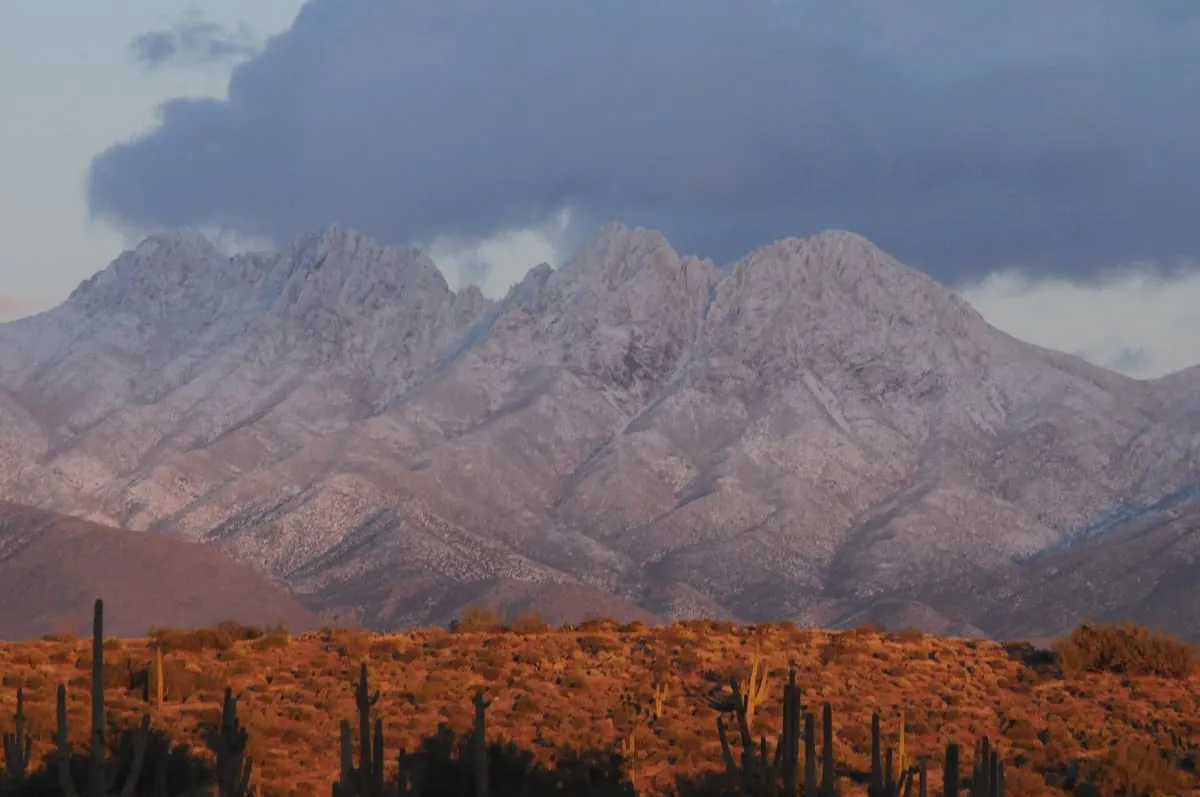
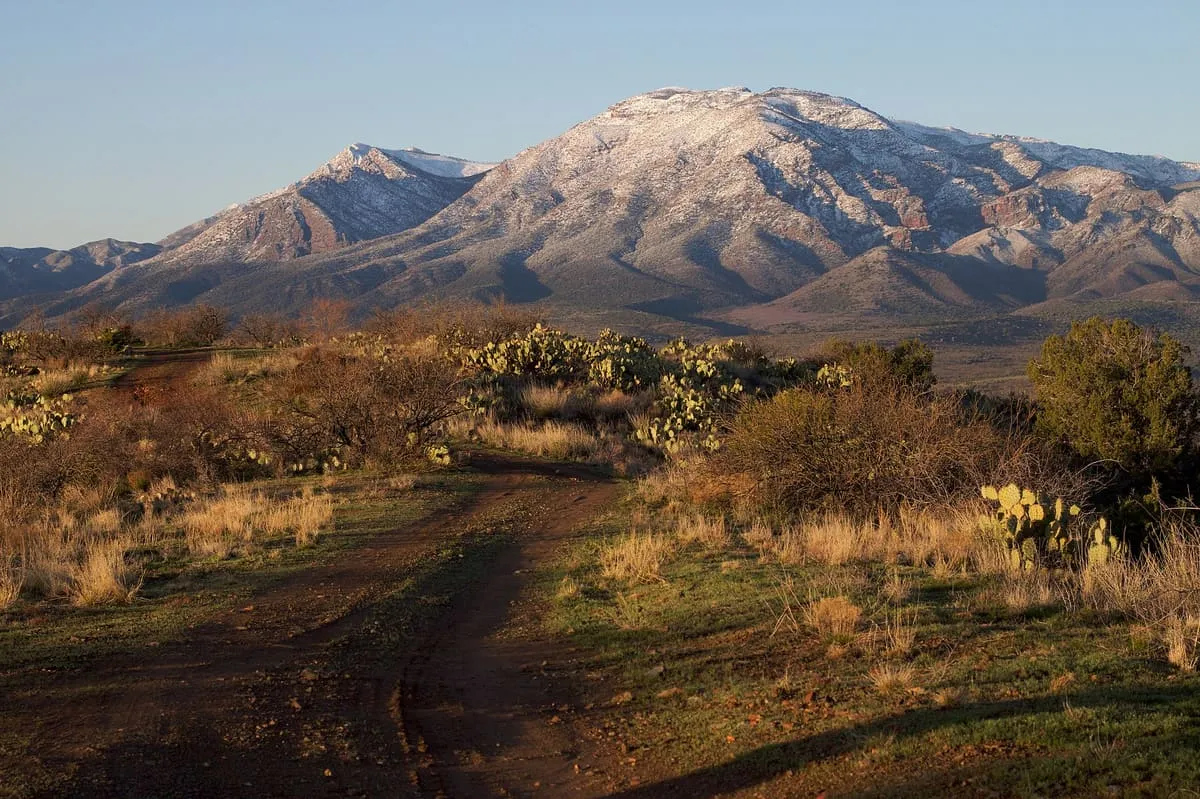
Four Peaks (Yavapai: Wi:khoba) is a prominent landmark on the eastern skyline of Phoenix. Part of the Mazatzal Mountains, it is located in the Four Peaks Wilderness in the Tonto National Forest, 40 miles (64 km) east-northeast of Phoenix. In winter, Four Peaks offers much of the Phoenix metro area a view of snow-covered peaks.
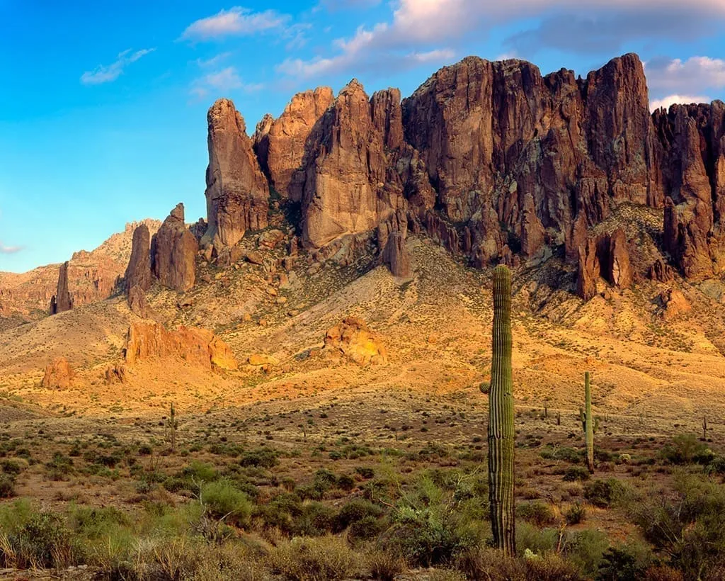
The Superstition Mountains (Yavapai: Wi:kchsawa) is a range of mountains in Arizona located to the east of the Phoenix metropolitan area. They are anchored by Superstition Mountain, a large mountain that is a popular recreation destination for residents of the Phoenix, Arizona, area. They are roughly bounded by U.S.
The Mazatzal Mountains (MAH-zaht-ZAL, locally Ma-tuh-ZEL) are a mountain range in south central Arizona, about 30–45 miles northeast of the Phoenix metropolitan area. The origin of the name remains obscure but one possibility is that it is from the Nahuatl language meaning "place of the deer". The crest of the Mazatzals forms the county line between Maricopa County and Gila County.
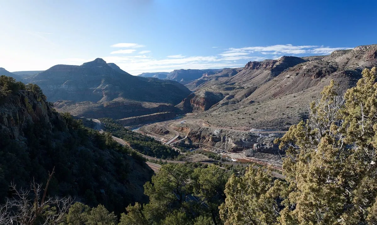
A deep river canyon, managed by the Tonto National Forest. There are no maintained trails, although the wilderness can be visited anytime. There are 27 sets of rapids and many side creeks, and white-water rafting and kayaking is popular during the spring. From March 1 - May 15 river-running permits are required; group size is limited to 15 people.
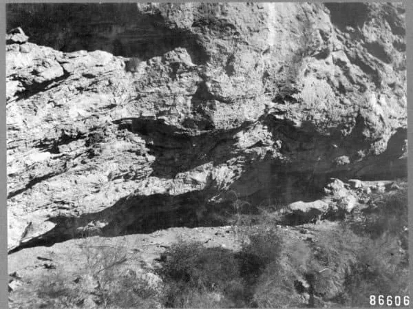
Skeleton Cave is a cave in Maricopa County, Arizona, United States. The cave is within the Salt River Canyon Wilderness and is located on the northern wall of the Salt River Canyon near the Horse Mesa Dam. It was the site of the 1872 massacre of the Yavapai people in the Battle of Salt River Canyon.