9.4 miles away
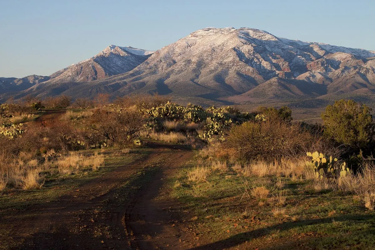
Mazatzal Mountains
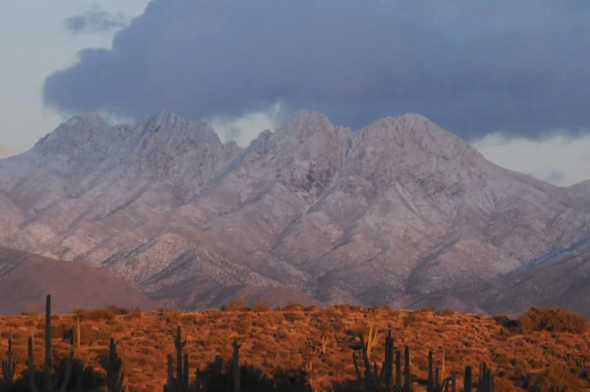
A range north-east of Phoenix rising to Mazatzal Peak at 7,903 feet, with 252,500 acres protected as wilderness.
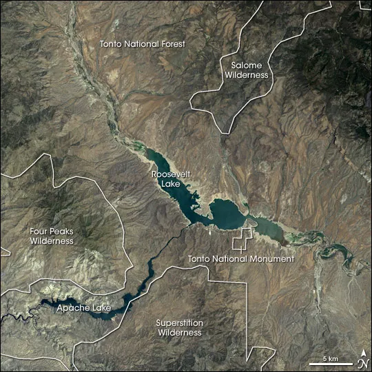
The drainage basin of Tonto Creek in central Arizona, running south-west of the Mogollon Rim to Theodore Roosevelt Lake.
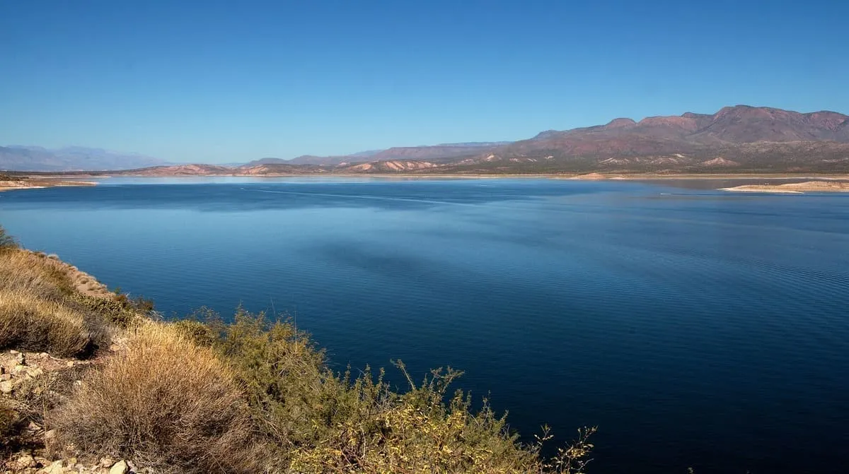
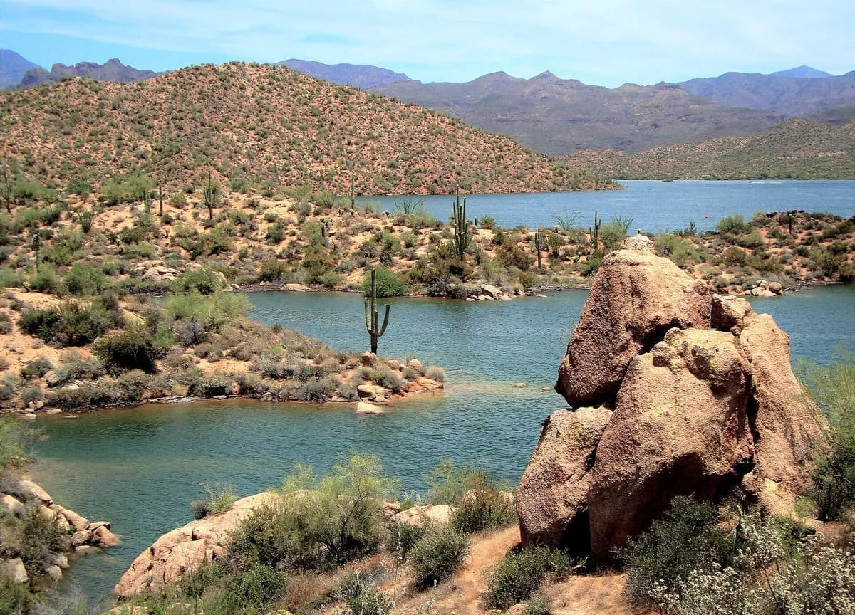
The Tonto Basin, also known as Pleasant Valley, covers the main drainage basin of Tonto Creek and its tributaries, in central Arizona at the south-west of the Mogollon Rim. The place name derives from the Apache word Koun'nde, meaning wild, rough people, and refers to the indigenous Dilzhe'e Tonto Apache, although tonto means silly or foolish in Spanish. The basin trends mostly north to south and outflows into the Salt River at Theodore Roosevelt Lake, an extensive canyon reservoir. State Route 188 traverses the lower basin on the south-west side of the lake, then merges with State Route 87 at the water divide north-east of the Mazatzals; that road continues to Payson and on to Kohls Ranch and Christopher Creek, at the basin headwaters below the Mogollon Rim.
Tonto Basin is a natural landmark near Roosevelt, in Gila County. It is one of the natural landmarks in this database, and appears in the statewide ranking of Arizona attractions.
No official visitor count is published for Tonto Basin, so its score rests on public interest and tourism significance, and is capped below the level a measured attraction can reach. That is why the medium confidence above is not higher. The weighting is explained in full on the methodology page, and every axis is broken out under Facts and sources at the foot of this page.
Note on the data: No official visitor count is published for this attraction.
Record last verified 2026-08-12.
9.4 miles away
10 miles away
14 miles away
17 miles away
18 miles away
19 miles away