1.9 miles away
Copper Hill ghost town
A Gila County ghost town founded in 1908 with 500 residents working nearby mines, abandoned in 1933 during the Depression.
- Rank in Arizona
- #526of 727 ranked
- Overall score
- Score 25.5 out of 100low confidence
- Category
- Historic Site
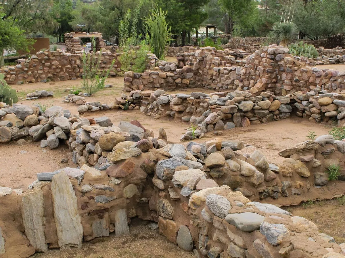
Copper Hill is a ghost town near Globe, Gila County, Arizona, established in 1908. It once had 500 residents who worked in nearby mines, but was abandoned during the Great Depression in 1933. Many building foundations remain at the site.
Where it is
Copper Hill ghost town is a historic site near Globe, in Gila County. It is one of the historic sites in this database, and appears in the statewide ranking of Arizona attractions.
How this ranking was reached
No official visitor count is published for Copper Hill ghost town, so its score rests on public interest and tourism significance, and is capped below the level a measured attraction can reach. That is why the low confidence above is not higher. The weighting is explained in full on the methodology page, and every axis is broken out under Facts and sources at the foot of this page.
Note on the data: No official visitor count is published for this attraction.
Sources
- Coordinates and designations: Wikivoyage(opens in a new tab)
- County: U.S. Census geography via FCC Area API, resolved from coordinates
Record last verified 2026-08-12.
Nearby attractions
- A small Globe, Arizona museum on local and regional history, run by the Gila County Historical Society, with an onsite bookshop.

3.1 miles away
Besh-Ba-Gowah Archeological Park
A 200-room Salado masonry pueblo above Pinal Creek near Globe, occupied AD 1225-1400 and now a city archaeological park and museum.
3.4 miles away
Tonto National Forest
At 2,873,200 acres the largest national forest in Arizona, running from Sonoran Desert up to the pine forests of the Mogollon Rim.
11 miles away
El Capitan Pass
A Gila County mountain pass marked by a historical marker noting a U.S. Army march through it to California in 1846.
16 miles away
Salt River Canyon Wilderness
A wilderness area of 32,115 acres in the Tonto National Forest, taking in a deep river canyon with 27 sets of rapids.
18 miles away
Oak Flat
A mesa in the Tonto National Forest east of Phoenix, sacred to the San Carlos Apache and listed on the National Register.
Facts and sources
Place
- Category
- Historic Site
- Destination
- Globe
- County
- Gila County
- State
- Arizona
Visitation
- Annual visits
- Not published
Ranking
- Overall score
- 25.5 / 100
- Visitation score
- No published count
- Popularity score
- No data
- Significance score
- 58.0
- Confidence
- low
Visiting
- Coordinates
- 33.4265, -110.7684
- Last verified
- 2026-08-12