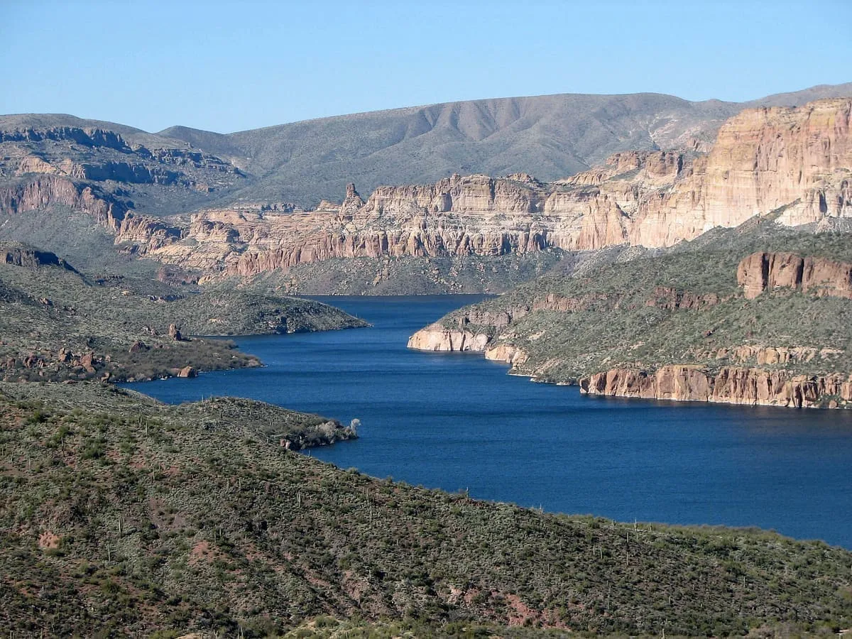
0.3 miles away
Tonto National Forest
At 2,873,200 acres the largest national forest in Arizona, running from Sonoran Desert up to the pine forests of the Mogollon Rim.
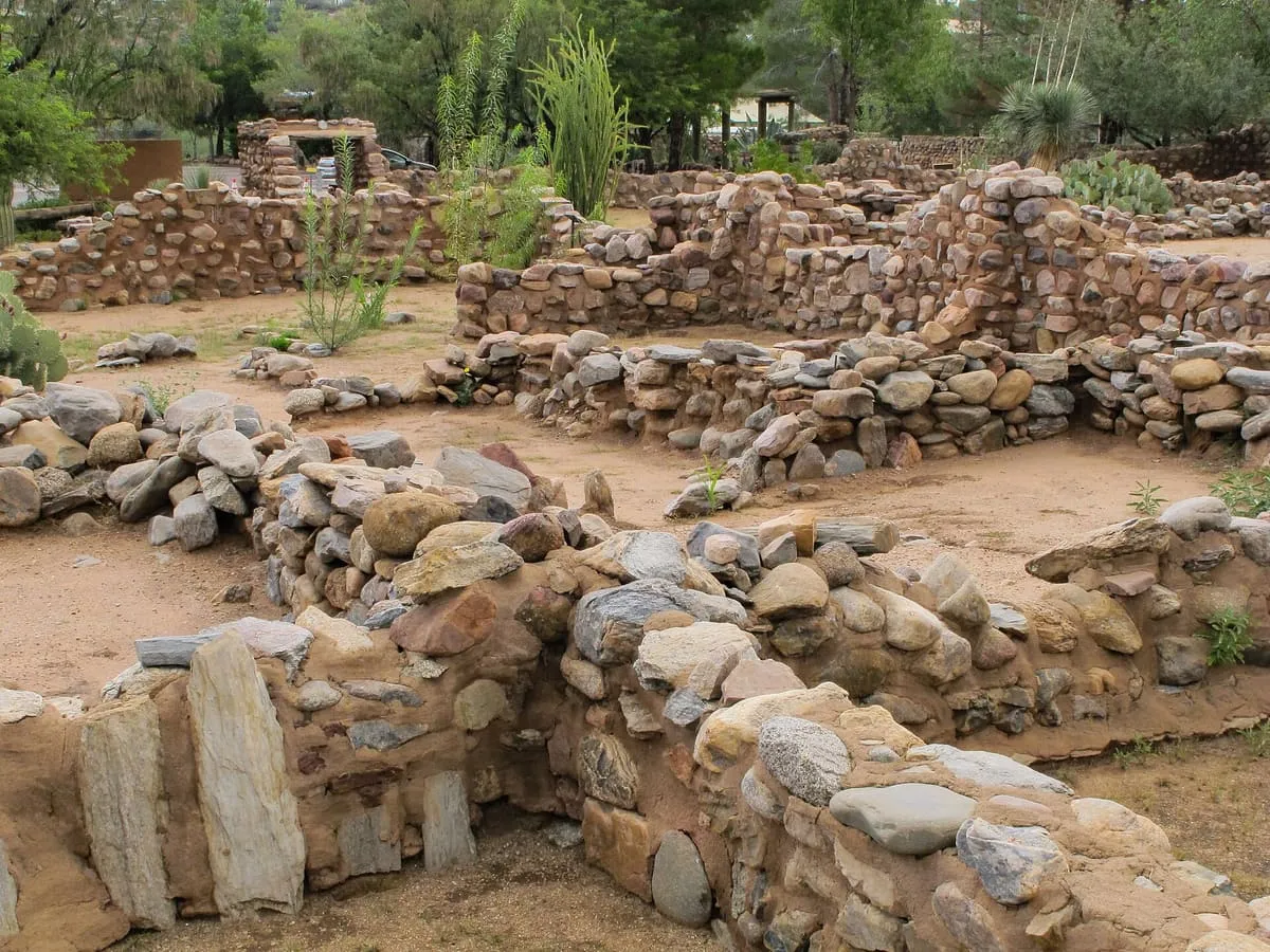
A 200-room Salado masonry pueblo above Pinal Creek near Globe, occupied AD 1225-1400 and now a city archaeological park and museum.
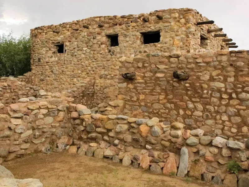
Besh-Ba-Gowah is a 200-room prehistoric Salado masonry pueblo on a ridge above Pinal Creek, one mile south-west of Globe, Arizona, now surrounded by a small city park and an adjacent museum of excavated pottery, stone and woven artefacts. It was occupied by Salado populations between AD 1225 and AD 1400 — 'Salado' being the term for the cultural complex of peoples who inhabited the Globe/Miami and Tonto Basin regions from AD 1150 to AD 1450 — and material recovered here has formed the basis of the profession's current definition of that culture, making Besh-Ba-Gowah one of its type sites. Its architecture consists of multi-storeyed masonry room blocks linked by narrow corridors and plazas, arranged around a communal plaza measuring 12 by 27 metres, with walls of unshaped granite cobbles laid in clay mortar. Excavation was funded by the Federal Emergency Relief Administration and then the Works Projects Administration, as Depression-era work to relieve unemployment. The site was listed on the National Register of Historic Places in 1984 and is operated by the City of Globe as Besh-Ba-Gowah Archaeological Park and Museum.
Besh-Ba-Gowah Archeological Park is a historic site near Globe, in Gila County. It is one of the historic sites in this database, and appears in the statewide ranking of Arizona attractions.
No official visitor count is published for Besh-Ba-Gowah Archeological Park, so its score rests on public interest and tourism significance, and is capped below the level a measured attraction can reach. That is why the medium confidence above is not higher. The weighting is explained in full on the methodology page, and every axis is broken out under Facts and sources at the foot of this page.
Note on the data: No official visitor count is published for this attraction.
Record last verified 2026-08-12.

0.3 miles away
2.1 miles away
3.1 miles away

8.2 miles away
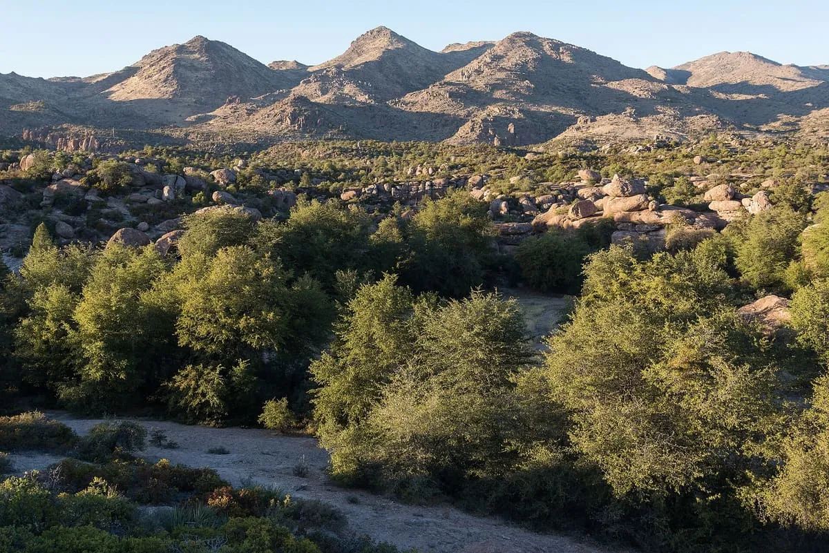
17 miles away
19 miles away