0.3 miles away
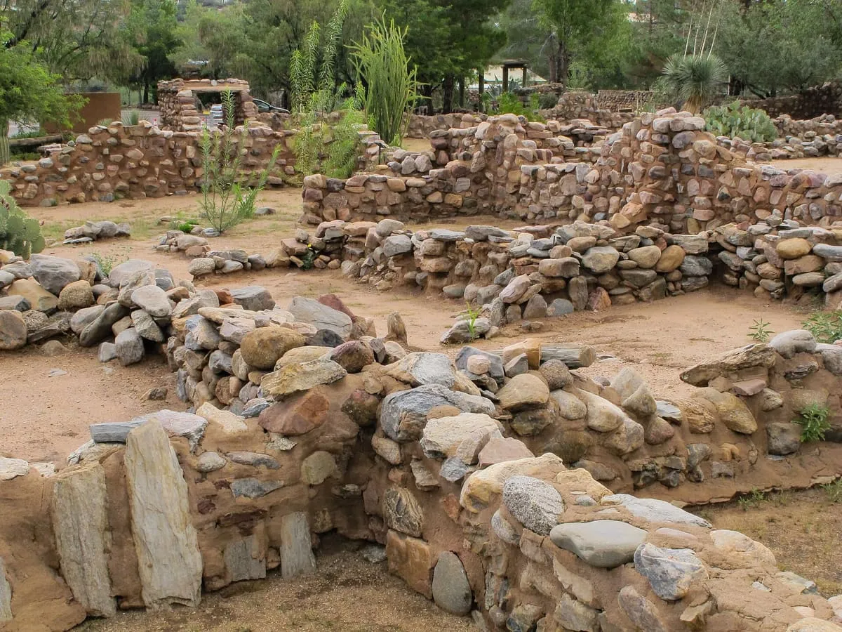
Besh-Ba-Gowah Archeological Park
A 200-room Salado masonry pueblo above Pinal Creek near Globe, occupied AD 1225-1400 and now a city archaeological park and museum.
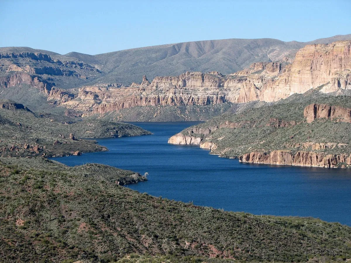
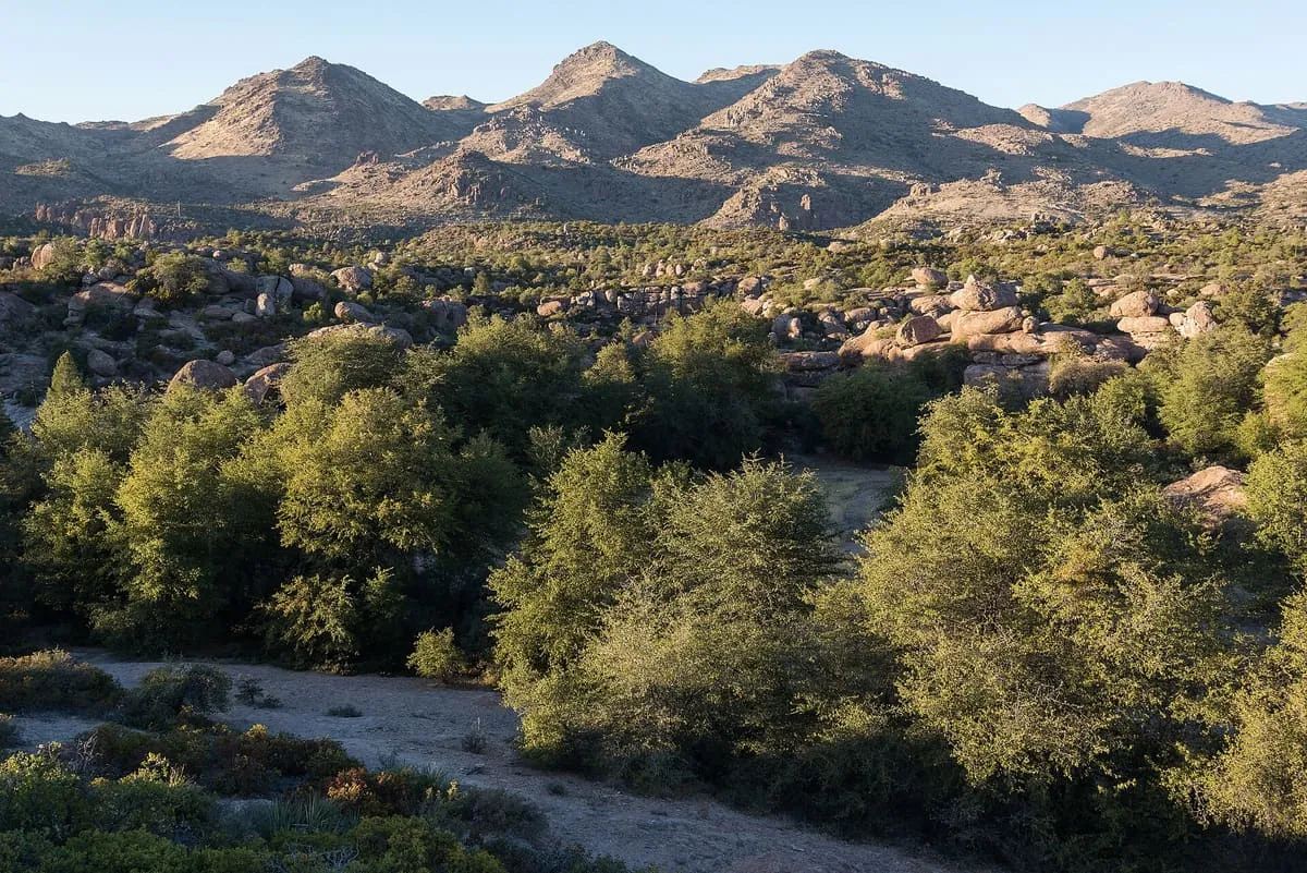
At 2,873,200 acres the largest national forest in Arizona, running from Sonoran Desert up to the pine forests of the Mogollon Rim.
The Tonto National Forest covers 2,873,200 acres, making it the largest of the six national forests in Arizona and the ninth largest in the United States. Elevations range from 1,400 feet in the Sonoran Desert to 7,400 feet in the ponderosa pine forests of the Mogollon Rim, and it is one of the most visited urban forests in the country. It is bounded by the Phoenix metropolitan area to the south, the Mogollon Rim to the north, and the San Carlos and Fort Apache Indian reservations to the east. Its name is the Spanish word for 'foolish'. The forest is managed by the USDA Forest Service from headquarters in Phoenix, with ranger district offices in Globe, Mesa, Payson, Roosevelt, Scottsdale and Young, and offers hiking, mountain biking and rock climbing. On 13 June 2020 a wildfire ignited in the Tonto Basin area; the Bush Fire burned 193,455 acres, the fifth largest fire on record in Arizona, and was sufficiently contained by 1 July. Investigators determined that it was human-caused.
Tonto National Forest is a natural landmark near Globe, in Gila County. It is one of the natural landmarks in this database, and appears in the statewide ranking of Arizona attractions.
No official visitor count is published for Tonto National Forest, so its score rests on public interest and tourism significance, and is capped below the level a measured attraction can reach. That is why the medium confidence above is not higher. The weighting is explained in full on the methodology page, and every axis is broken out under Facts and sources at the foot of this page.
Note on the data: No official visitor count is published for this attraction.
Record last verified 2026-08-12.
0.3 miles away
2.4 miles away
3.4 miles away

7.9 miles away
17 miles away
19 miles away