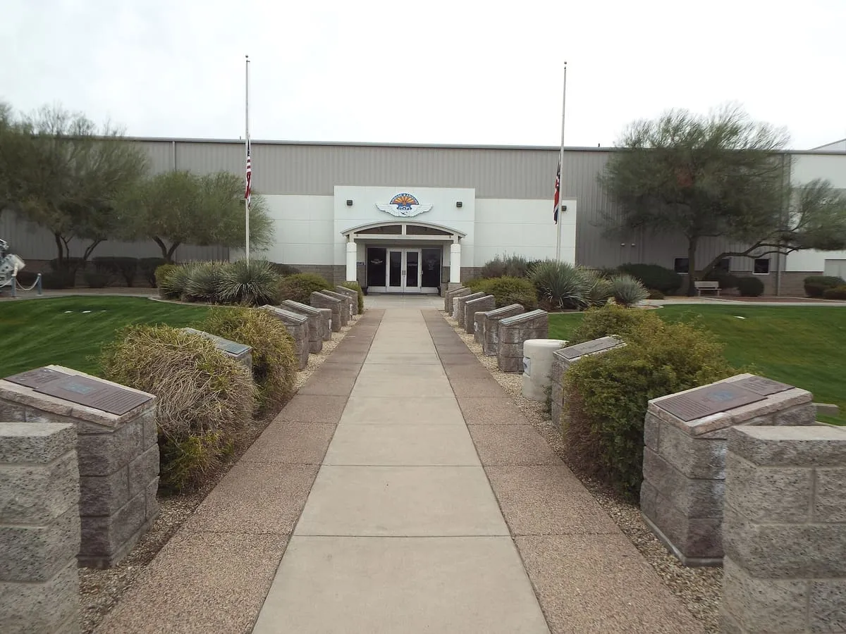
6.5 miles away
Commemorative Air Force Museum
A Mesa museum at Falcon Field housing WWII aircraft, including the restored B-17 bomber Sentimental Journey, one of about 13 still flying.
A 2,832-foot mountain north of Mesa, commonly called Red Mountain, closed to visitors since the early 1980s after vandalism.
Mount McDowell, S-wegĭ Doʼag in O'odham and Wi:kawatha in Yavapai, is a 2,832-foot mountain on the Salt River Pima-Maricopa Indian Reservation, just north of Mesa, Arizona. It is named after Irvin McDowell, a Union general in the Civil War, and is not the same landmark as McDowell Peak, 11 miles to the north-west. It is more commonly called Red Mountain, or FireRock, after the sandstone conglomerate that gives it a red colour at sunset; the deep cleft on its western side is known as Gunsight, for its resemblance to the narrow slot used for firing from a fort. The mountain has been declared off-limits to hikers, climbers and photographers since the early 1980s, following vandalism.
Mount McDowell is a natural landmark near Mesa, in Maricopa County. It is one of the natural landmarks in this database, and appears in the statewide ranking of Arizona attractions.
No official visitor count is published for Mount McDowell, so its score rests on public interest and tourism significance, and is capped below the level a measured attraction can reach. That is why the medium confidence above is not higher. The weighting is explained in full on the methodology page, and every axis is broken out under Facts and sources at the foot of this page.
Note on the data: No official visitor count is published for this attraction.
Record last verified 2026-08-12.
6.5 miles away
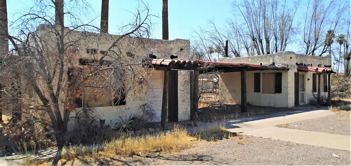
8.6 miles away
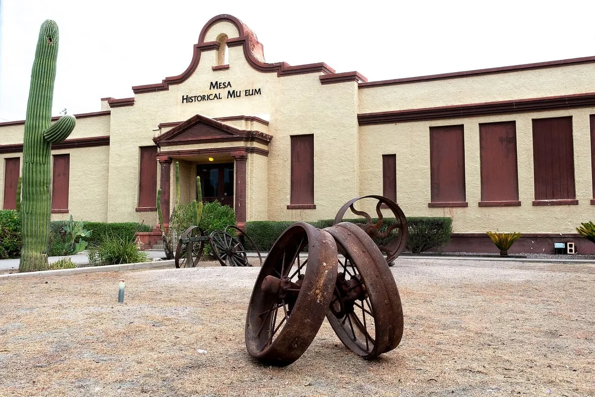
8.9 miles away
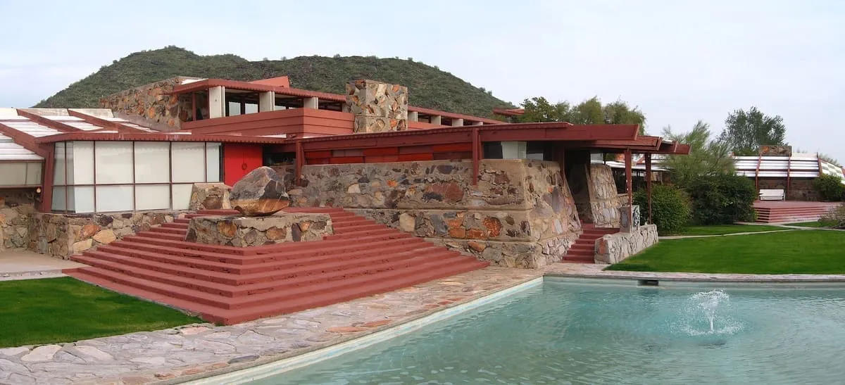
9.9 miles away
9.9 miles away