7.5 miles away
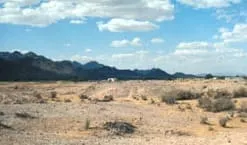
Sonoran Desert
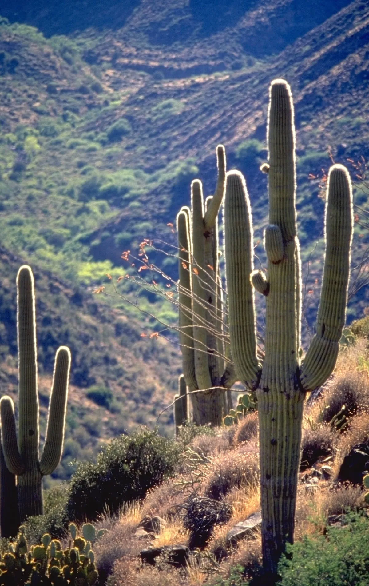
A subtropical hot desert of 260,000 square kilometres, home to the saguaro and the organ pipe cactus.
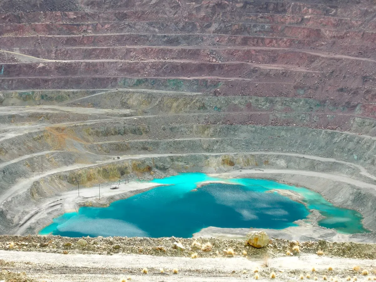
An inactive open-pit copper mine at Ajo, a mile and a half across and 1,100 feet deep, with tailings often called the largest US dam.
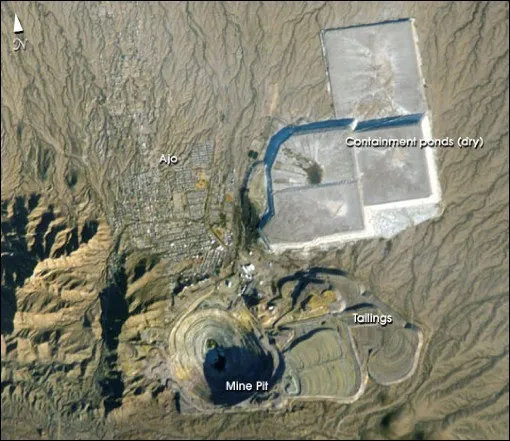
The New Cornelia mine is an inactive open-pit copper mine in Pima County, Arizona, just outside the town of Ajo, which was built as a company town to serve it. It was the only productive mine in the Ajo mining district. The roughly circular pit measures a mile and a half across at its widest point and is 1,100 feet deep at the centre. The New Cornelia Mine Tailings, though not generally regarded as a dam, is often cited as the largest dam structure in the United States, with a volume of 7.4 billion cubic feet.
New Cornelia mine is a historic site near Ajo, in Pima County. It is one of the historic sites in this database, and appears in the statewide ranking of Arizona attractions.
No official visitor count is published for New Cornelia mine, so its score rests on public interest and tourism significance, and is capped below the level a measured attraction can reach. That is why the medium confidence above is not higher. The weighting is explained in full on the methodology page, and every axis is broken out under Facts and sources at the foot of this page.
Note on the data: No official visitor count is published for this attraction.
Record last verified 2026-08-12.
7.5 miles away
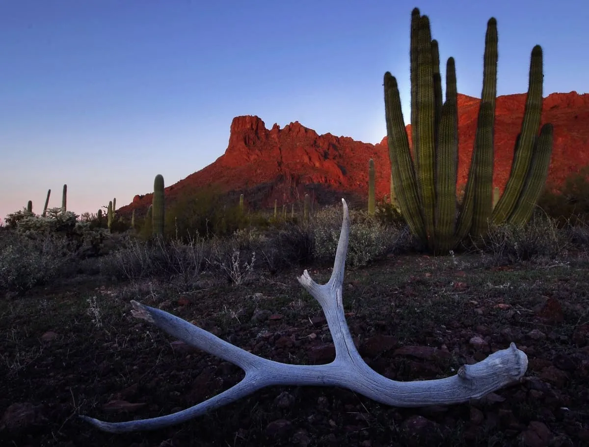
28 miles away
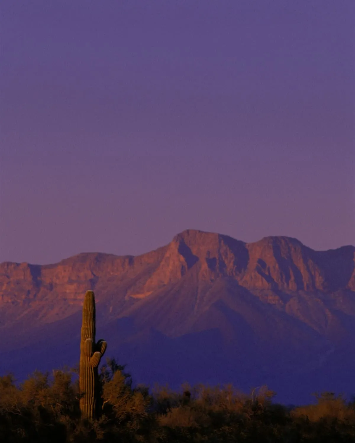
33 miles away
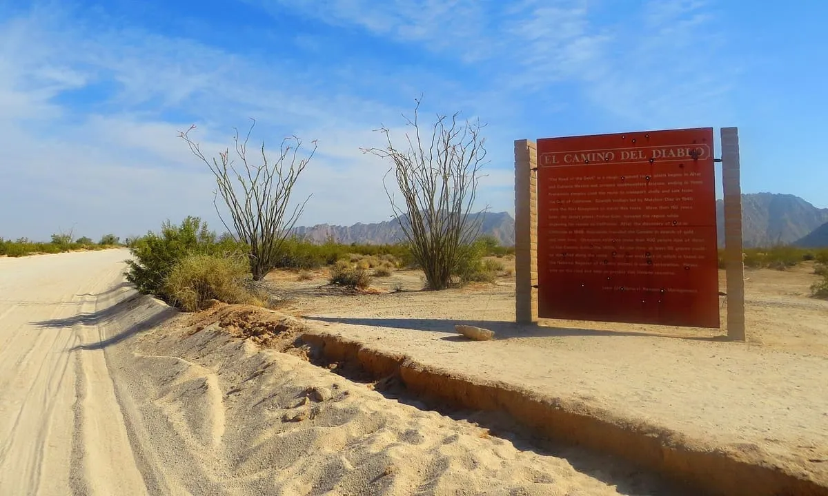
36 miles away
37 miles away
45 miles away