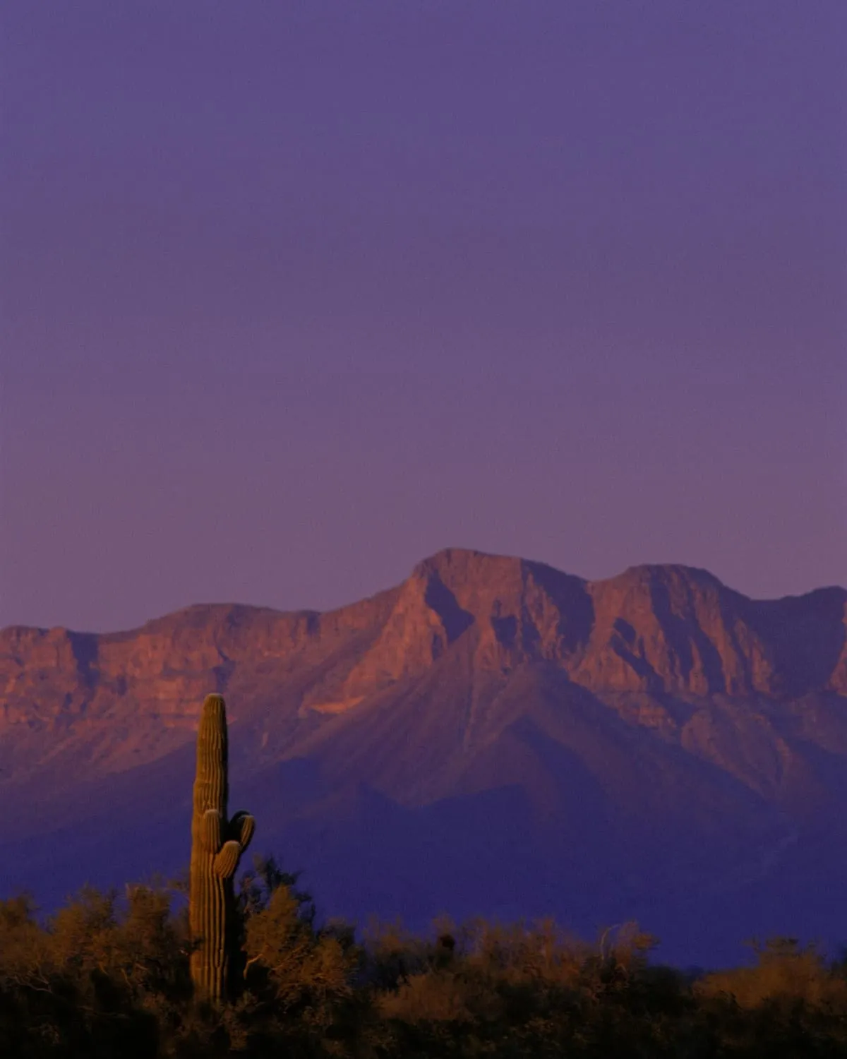
17 miles away
Cabeza Prieta National Wildlife Refuge
An 860,010-acre refuge along the Mexican border, established in 1939 for desert bighorn sheep and the third largest in the lower 48 states.
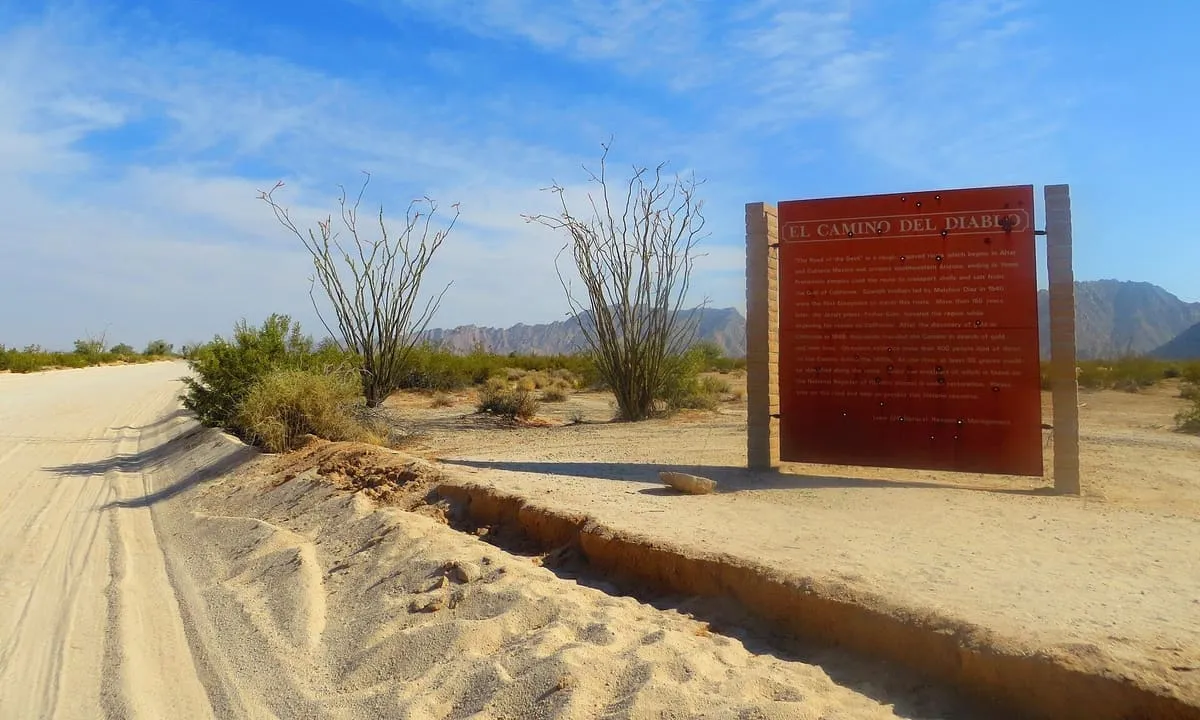
A 250-mile historic road across the Sonoran Desert in Pima and Yuma counties, listed on the National Register in 1978.
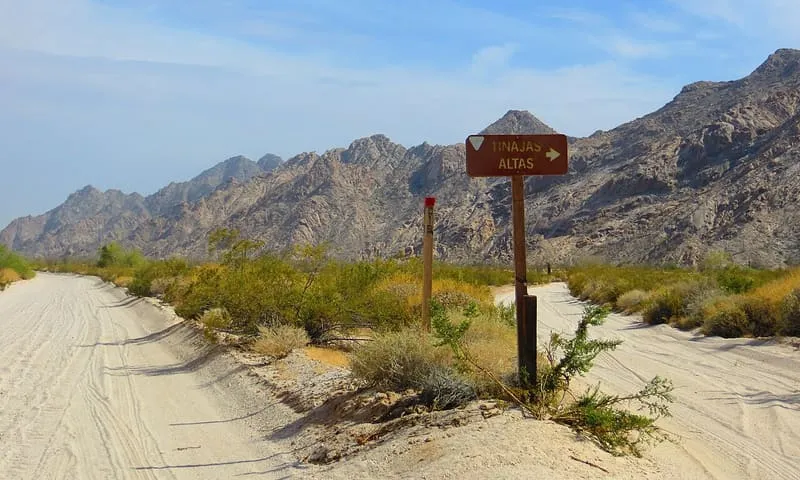
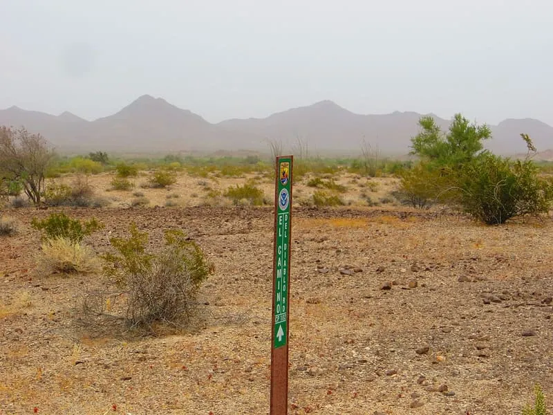
El Camino del Diablo, Spanish for the Devil's Path, is a historic 250-mile road crossing remote and inhospitable country in the Sonoran Desert, in Pima and Yuma counties, Arizona. It is also recorded as El Camino del Muerto, the Sonora Trail, the Sonoyta-Yuma Trail, the Yuma-Caborca Trail and the Old Yuma Trail, and the name refers to conditions along the route. The road began as a series of footpaths used by desert-dwelling Native Americans and has been in use for thousands of years. From the 16th to the 19th centuries it carried conquistadores, explorers, missionaries, settlers, miners and cartographers. Traffic declined sharply after the Southern Pacific Railroad reached Yuma in 1877. The route was listed on the National Register of Historic Places in 1978 and has been designated a Back Country Byway by the Bureau of Land Management.
El Camino Del Diablo is a natural landmark near Ajo, in Yuma County. It is one of the natural landmarks in this database, and appears in the statewide ranking of Arizona attractions.
No official visitor count is published for El Camino Del Diablo, so its score rests on public interest and tourism significance, and is capped below the level a measured attraction can reach. That is why the medium confidence above is not higher. The weighting is explained in full on the methodology page, and every axis is broken out under Facts and sources at the foot of this page.
Note on the data: No official visitor count is published for this attraction.
Record last verified 2026-08-12.
17 miles away
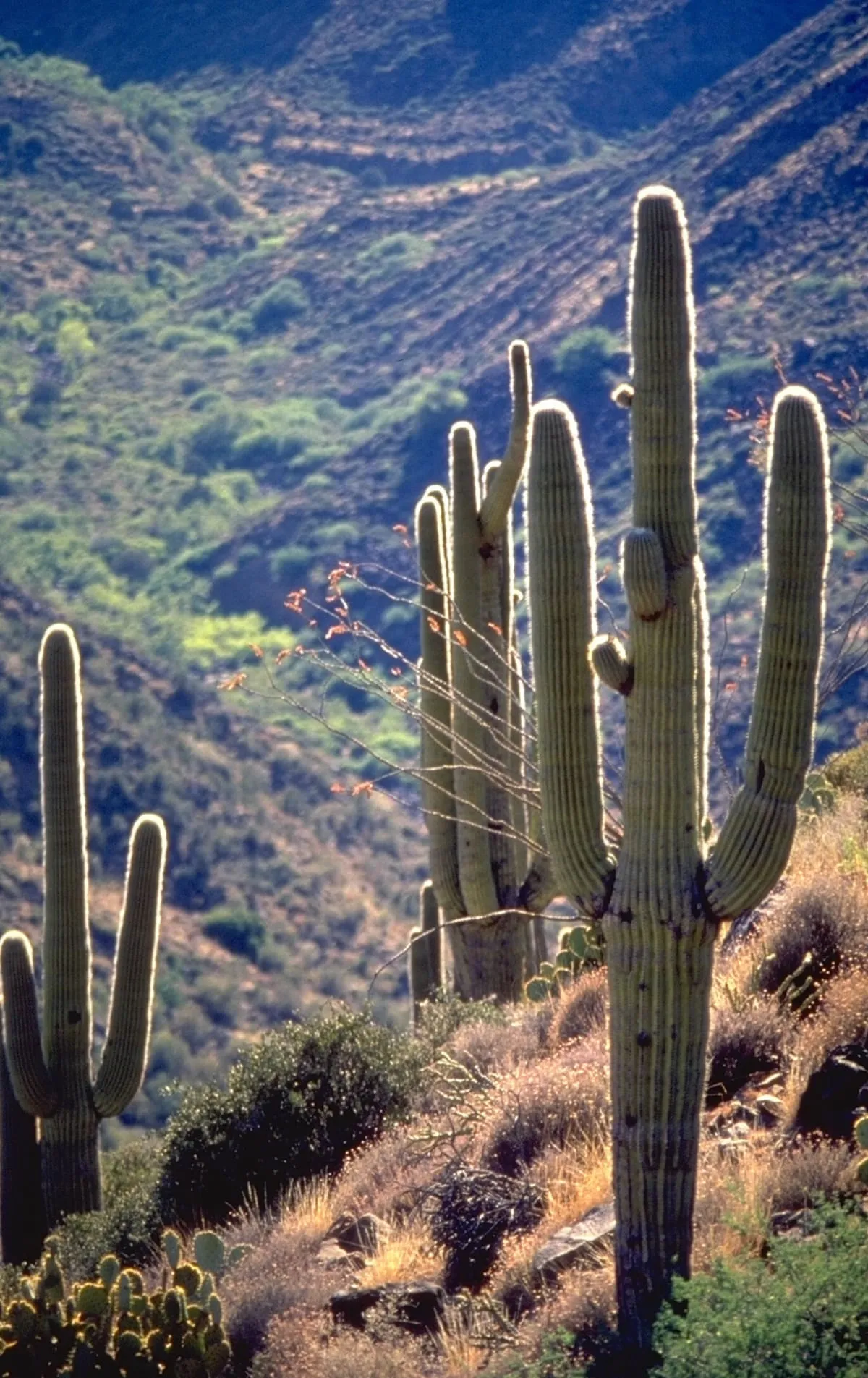
30 miles away
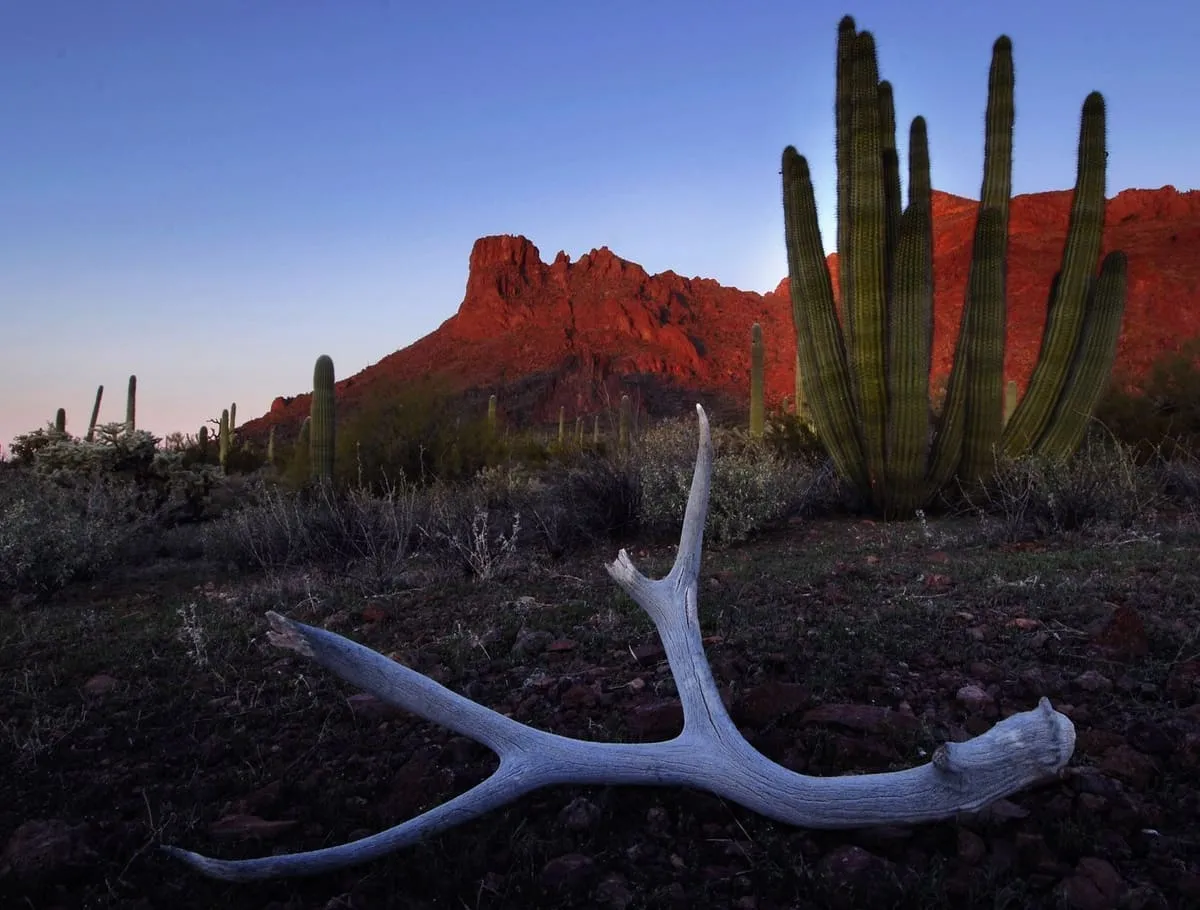
35 miles away

36 miles away
52 miles away
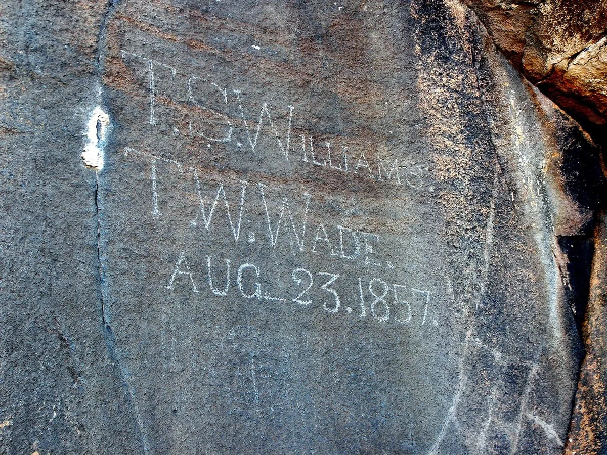
59 miles away