37 miles away
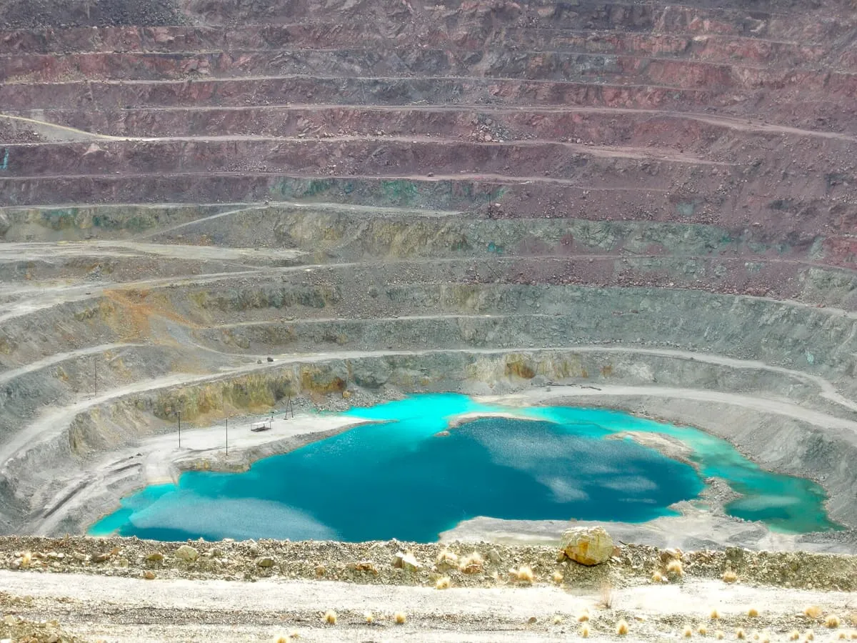
New Cornelia mine
An inactive open-pit copper mine at Ajo, a mile and a half across and 1,100 feet deep, with tailings often called the largest US dam.
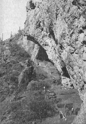
A southern Arizona archaeological site excavated from 1941, whose Pleistocene-age finds were redated and reinterpreted by later researchers.
Ventana Cave is an archaeological site on the Tohono O'odham Nation in southern Arizona, excavated under the direction of Emil Haury by teams led by Wilfrid C. Bailey in 1941 and Julian Hayden in 1942. The deepest artefacts came from a layer of volcanic debris that also contained the remains of Pleistocene horse, pronghorn, tapir and sloth; a projectile point from this layer was compared first to the Folsom tradition and later to the Clovis culture, but the assemblage was distinct enough to be given a separate name, the Ventana Complex. Haury's team dated the volcanic debris layer to about 11,300 years before present, and interpreted the extinct fauna as having been killed with stone tools. Bruce Huckell and C. Vance Haynes restudied the site's stratigraphy and artefacts in 1992-94, producing new radiocarbon dates of 10,500 to 8,800 years before present for the same layer; they proposed that postdepositional disturbance had mixed in bones of extinct fauna from an underlying, horse-rich deposit, and concluded that the Ventana Complex was not closely related to Clovis. The site was declared a National Historic Landmark in 1964.
Ventana Cave is a historic site near South Central Arizona, in Pima County. It is one of the historic sites in this database, and appears in the statewide ranking of Arizona attractions.
No official visitor count is published for Ventana Cave, so its score rests on public interest and tourism significance, and is capped below the level a measured attraction can reach. That is why the medium confidence above is not higher. The weighting is explained in full on the methodology page, and every axis is broken out under Facts and sources at the foot of this page.
Note on the data: No official visitor count is published for this attraction.
Record last verified 2026-08-12.
37 miles away

40 miles away
41 miles away
41 miles away
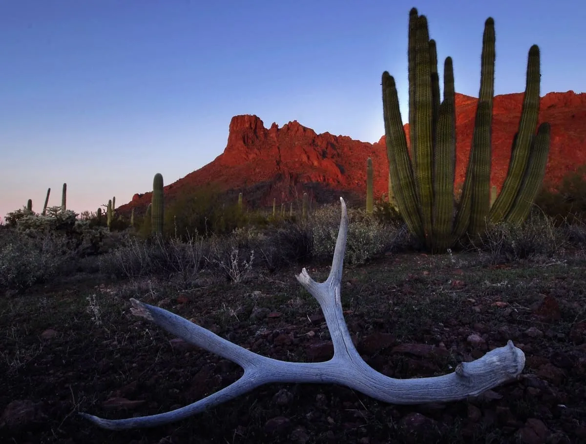
43 miles away
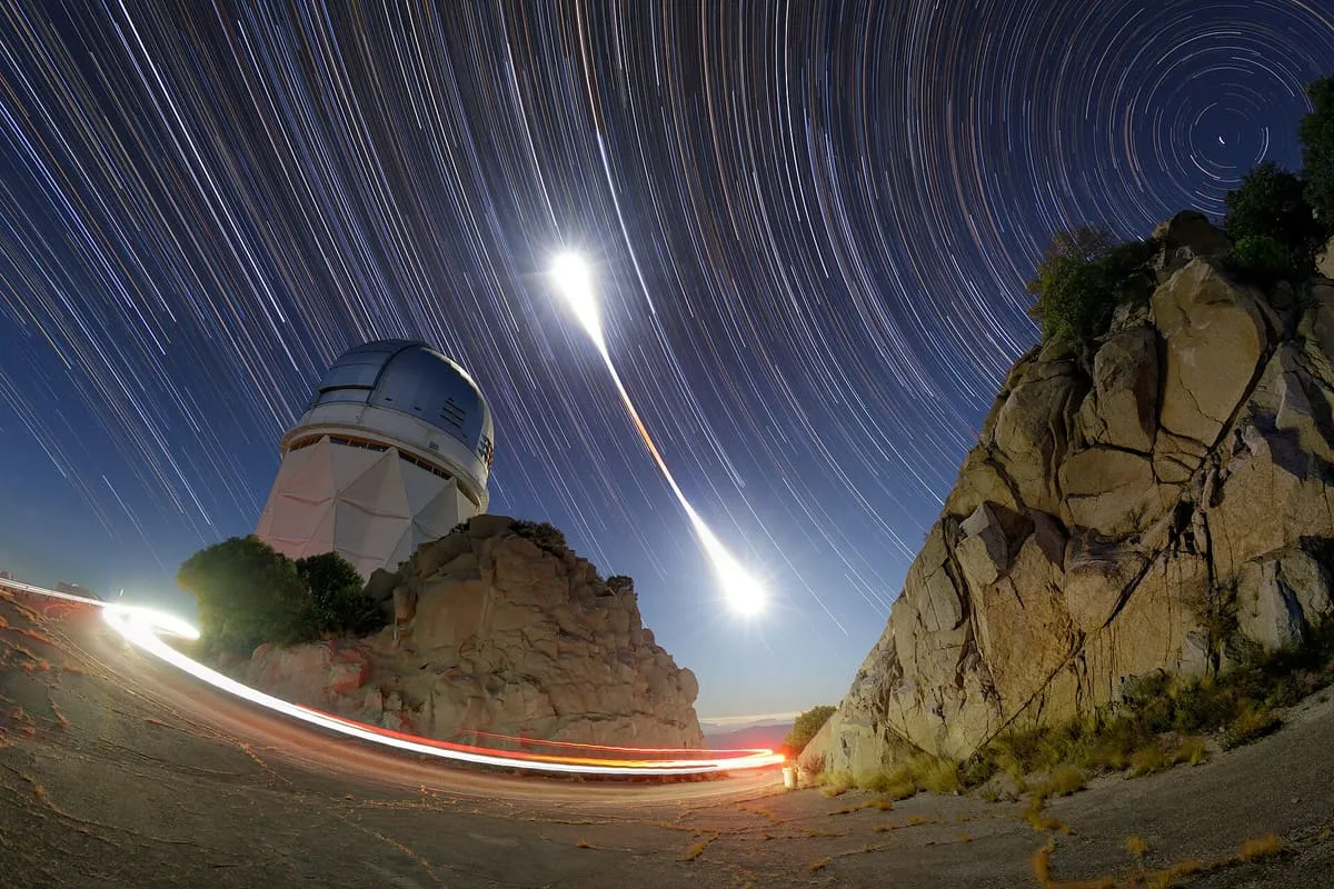
46 miles away