5.7 miles away
Pinal City
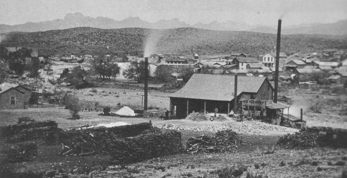
A ghost town in Pinal County, populated from the 1870s into the 1890s, of which only a few foundations remain.
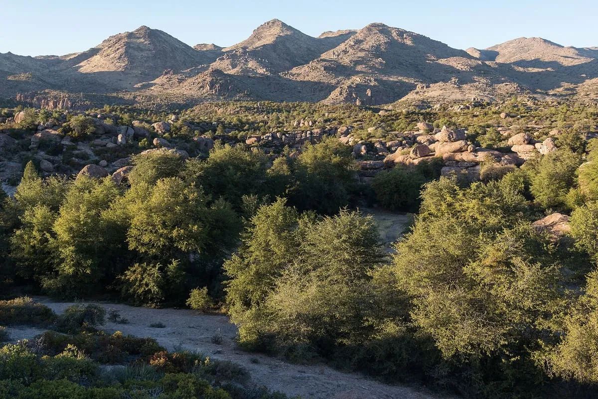
A mesa in the Tonto National Forest east of Phoenix, sacred to the San Carlos Apache and listed on the National Register.
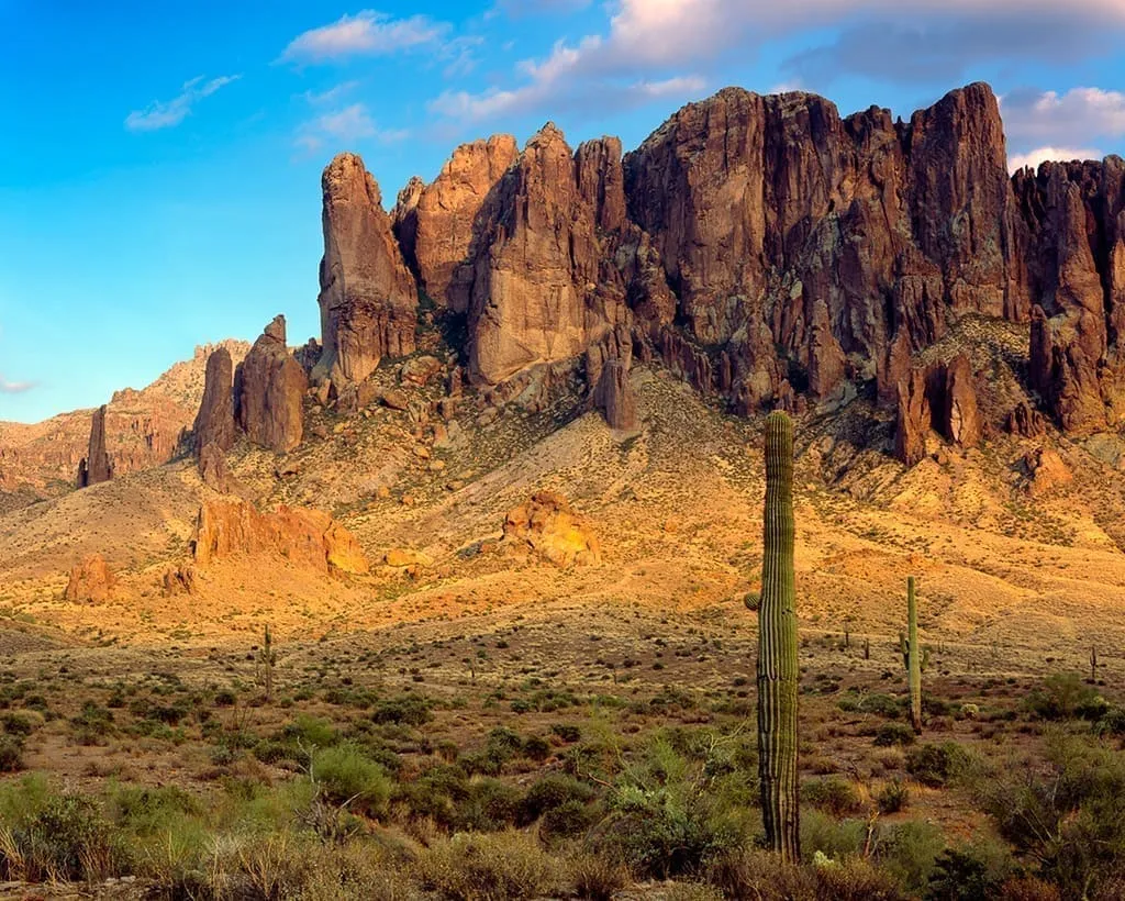
Oak Flat is a mesa in Pinal County, about 40 miles east of Phoenix in the Tonto National Forest, at an elevation of 3,900 feet. Its Western Apache name is Chíchʼil Bił Dagoteel and its Navajo name Chéchʼil Bił Dahoteel. The land is sacred to people of the San Carlos Apache Indian Reservation and to many other Arizona tribes. The federally managed area is listed on the National Register of Historic Places and holds a U.S. Forest Service campground. The wider landscape takes in Apache Leap cliff, the mesa itself and Devil's Canyon, which Apaches call Ga'an Canyon, or Angels Canyon, and is used by hikers, birders, climbers, off-roaders, hunters and members of the area's indigenous tribes. Since 2002 the federal government has repeatedly sought to exchange the site for land held by mining interests.
Oak Flat is a natural landmark near Globe, in Pinal County. It is one of the natural landmarks in this database, and appears in the statewide ranking of Arizona attractions.
No official visitor count is published for Oak Flat, so its score rests on public interest and tourism significance, and is capped below the level a measured attraction can reach. That is why the medium confidence above is not higher. The weighting is explained in full on the methodology page, and every axis is broken out under Facts and sources at the foot of this page.
Note on the data: No official visitor count is published for this attraction.
Record last verified 2026-08-12.
5.7 miles away
6.8 miles away
9.1 miles away
16 miles away
16 miles away

16 miles away