9.1 miles away
Ray
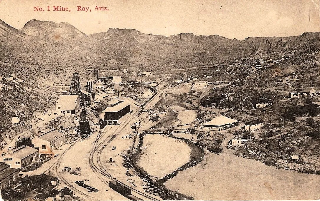
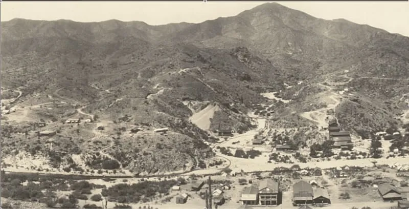
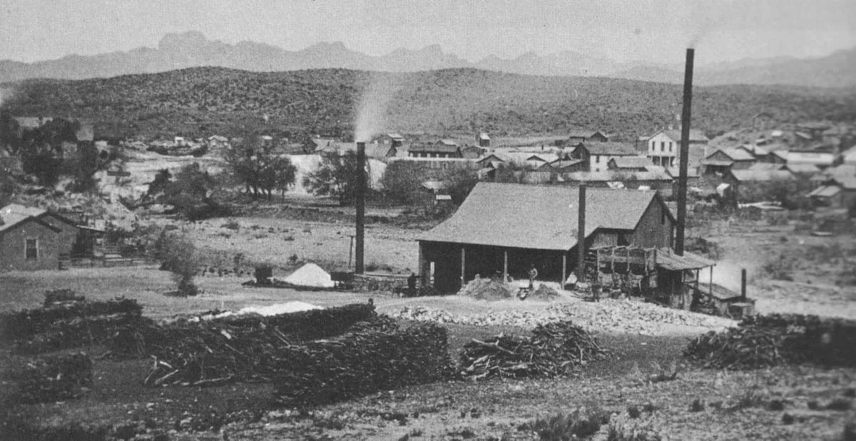
Ray is a ghost town in Pinal County, Arizona, United States; it is mostly known for the large copper mine there. It was named after the nearby Ray mine, which was begun by the Ray Copper Company in 1882, after the sister of one of the miners, whose name was Bullinger. The town of Kearny was founded by the Kennecott Mining Company in 1958 as a planned community to accommodate the populations of Ray, Barcelona and Sonora, which were about to be enveloped by Kennecott's copper mine.

Facts and sources
Place
- Category
- Historic Site
- Destination
- Globe
- County
- Pinal County
- State
- Arizona
Visitation
- Annual visits
- Not published
Ranking
- Overall score
- 42.8 / 100
- Visitation score
- No published count
- Popularity score
- 24.6
- Significance score
- 58.0
- Confidence
- medium
Visiting
- Coordinates
- 33.1833, -110.9975
- Last verified
- 2026-08-12
Where it is
Ray is a historic site near Globe, in Pinal County. It is one of the historic sites in this database, and appears in the statewide ranking of Arizona attractions.
How this ranking was reached
This place scores 42.8 out of 100, at medium confidence. No official visitor count is published for it, so the score rests on public interest and tourism significance, and is capped below the level a measured attraction can reach. The weighting is explained in full on the methodology page.
Note on the data: No official visitor count is published for this attraction.
Sources
- Description: Wikipedia(opens in a new tab), used under CC BY-SA 4.0(opens in a new tab)
- Public interest: Wikimedia pageviews (en.wikipedia, human traffic), 2024
- Coordinates and designations: Wikidata(opens in a new tab)
- County: U.S. Census geography via FCC Area API, resolved from coordinates
Record last verified 2026-08-12.
Nearby attractions
- Oak Flat (Western Apache: Chíchʼil Bił Dagoteel, Navajo: Chéchʼil Bił Dahoteel) is a mesa in Pinal County about 40 miles (64 km) east of Phoenix in the Tonto National Forest. A high desert setting at 3,900 feet (1,200 m) elevation, the land is sacred to Native Americans from the San Carlos Apache Indian Reservation and many other Arizona tribes. This federally-managed area is listed on the National Register of Historic Places, and features a U.S.

10 miles away
Pinal City
Pinal or Pinal City is a ghost town in Pinal County in the U.S. state of Arizona. The town was populated from the 1870s into the 1890s, in what was then the Arizona Territory.
12 miles away
Boyce Thompson Arboretum
Arizona's oldest and largest botanical garden. Walking tours and lectures are held here, along with occasional photography workshops.14 miles away
El Capitan Pass
A historical marker commemorates this spectacular pass, through which in 1846 Kearney's army marched to California to fight in the Mexican War. Shaded picnic tables are nearby.17 miles away
Christmas
Christmas is an uninhabited mining community in Gila County, Arizona, United States. The mine which led to creation of the town was staked on Christmas Day 1902, prompting the name. During the three decades in which the town's post office operated it was a popular destination for holiday mail seeking a "Christmas" postmark.
19 miles away
Tonto National Forest
The surrounding Tonto National Forest offers a range of opportunities for hiking, mountain biking, and rock climbing. Maps, books, and trail information are available from the Globe Ranger Station.