9.7 miles away
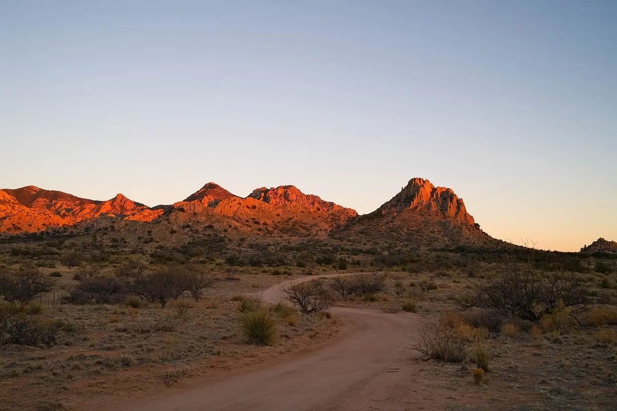
Dragoon Mountains
A 25-mile range in Cochise County named after the U.S. Cavalry Dragoons who fought the Chiricahua during the Apache Wars.
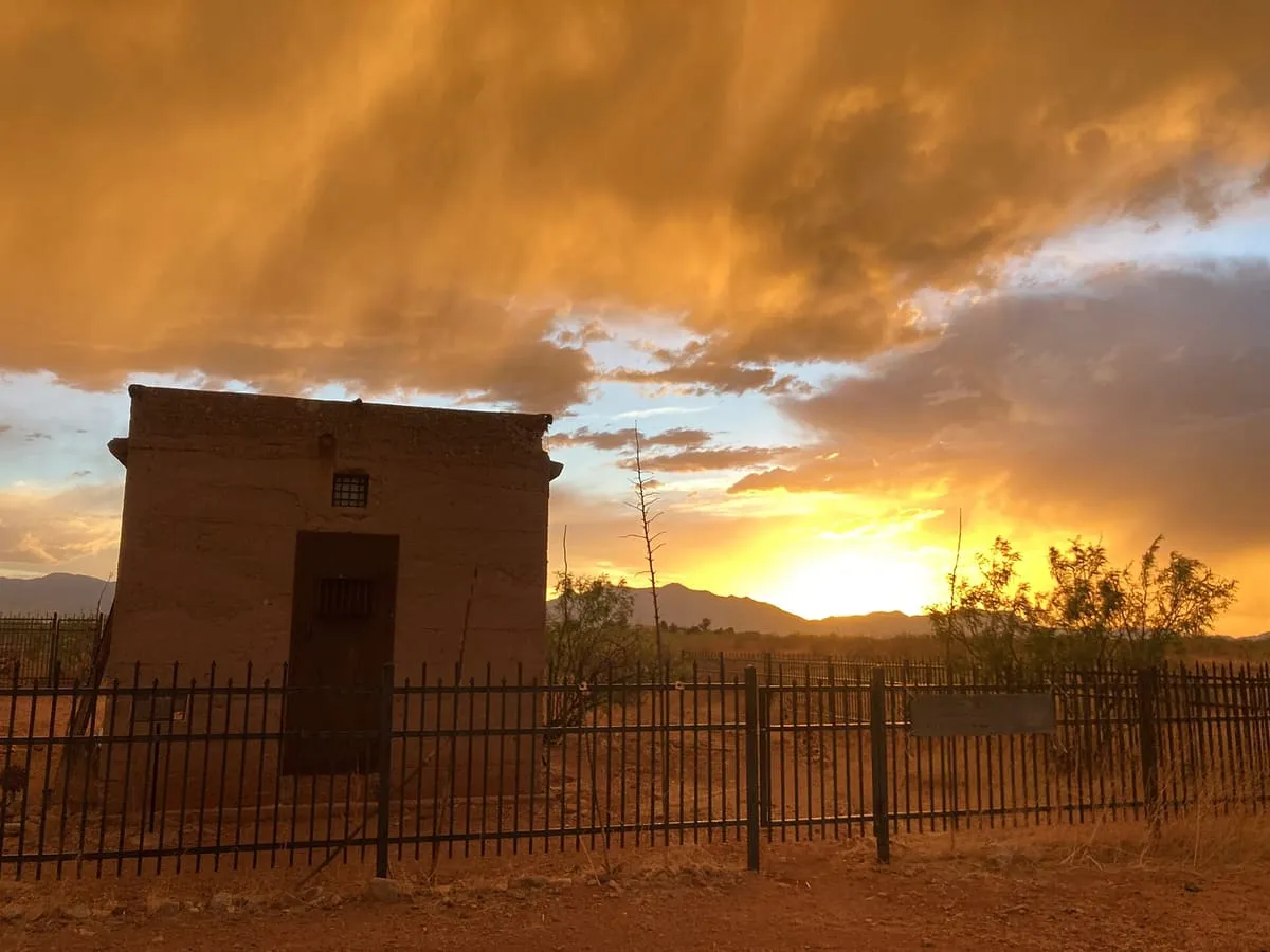
A ghost town and unincorporated community in the Sulphur Springs Valley of Cochise County, adjoining the settlement of Sunsites.
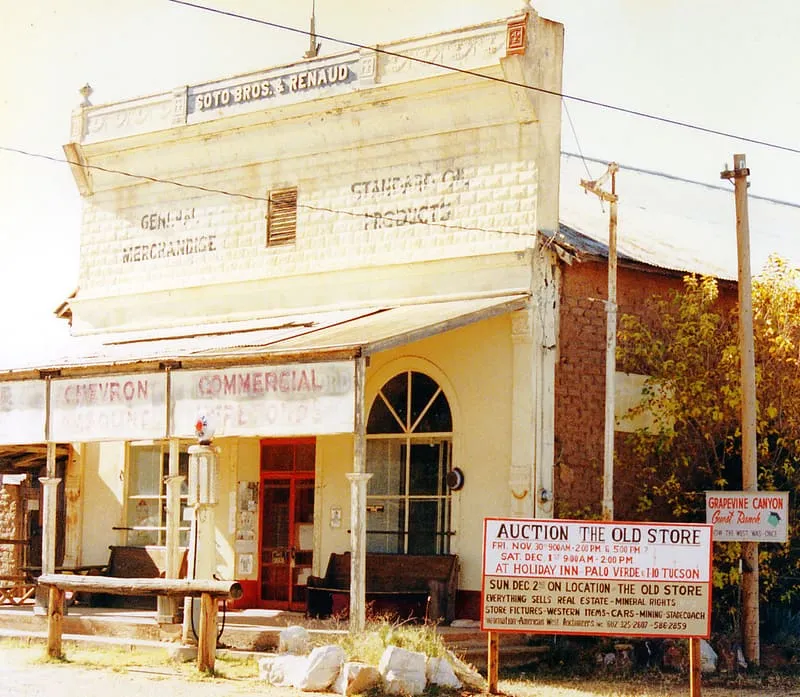
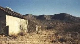
Pearce is an unincorporated community in the Sulphur Springs Valley of Cochise County, Arizona, best known as a historic ghost town. It adjoins Sunsites, founded in 1961, and the two are often referred to jointly as Pearce–Sunsites; the nearby Sunizona and Richland developments share the same post office and ZIP code, 85625. The ZIP Code Tabulation Area covering the four communities and a large surrounding rural area recorded a population of 2,104 at the 2000 census and 1,983 in 2010, and the local economy rests on retirees and tourism. Pearce lies between the Cochise Stronghold, Chiricahua National Monument and the winter Sandhill Crane refuge of Whitewater Draw. At an elevation of 4,400 feet the area has milder summers, and it is recognised as an American Viticultural Area. Fittsburg, the site of the Commonwealth Mine, lies about a mile east.
Pearce is a historic site near Dragoon Mountains, in Cochise County. It is one of the historic sites in this database, and appears in the statewide ranking of Arizona attractions.
No official visitor count is published for Pearce, so its score rests on public interest and tourism significance, and is capped below the level a measured attraction can reach. That is why the medium confidence above is not higher. The weighting is explained in full on the methodology page, and every axis is broken out under Facts and sources at the foot of this page.
Note on the data: No official visitor count is published for this attraction.
Record last verified 2026-08-12.
9.7 miles away
11 miles away
12 miles away
12 miles away
13 miles away
16 miles away