Pipe Spring National Monument
A National Park Service monument in northern Arizona holding Native American, explorer and Mormon pioneer history.
- Rank in Arizona
- #367of 727 ranked
- Overall score
- Score 39.9 out of 100high confidence
- Annual visits
- 24,530counted in 2024
- Category
- National Monument
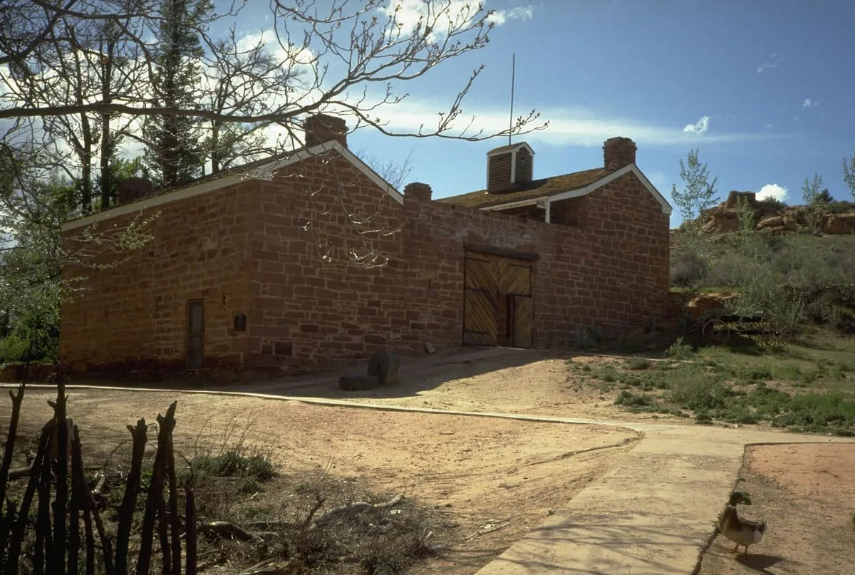
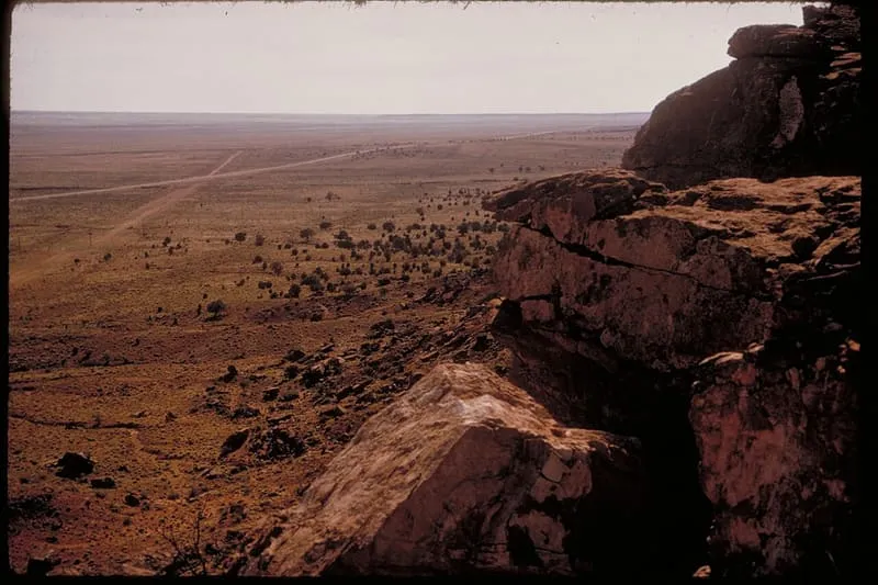
Pipe Spring National Monument is a national monument in northern Arizona, administered by the National Park Service. It preserves a site with Native American, early explorer and Mormon pioneer history. Pipe Spring was listed on the National Register of Historic Places on 15 October 1966, and the boundaries of the Pipe Spring National Monument Historic District, a portion of the monument, were expanded in October 2000. It recorded 24,530 recreation visits in 2024.
Where it is
Pipe Spring National Monument is a national monument near Fredonia, in Mohave County. It is one of the national monuments in this database, and appears in the statewide ranking of Arizona attractions.
How this ranking was reached
The score combines the published visitor count with public interest and tourism significance, which is what earns it high confidence. The weighting is explained in full on the methodology page, and every axis is broken out under Facts and sources at the foot of this page.
Note on the data: The 2025 series reports zero recreation visits for month 10, a reporting gap rather than a measured figure, so 2024 is used as the reference year.
Mentioned in
- Arizona protects its night sky in one set of places and uses it in another — Eight Arizona attractions hold International Dark Sky Park status and all eight publish visitor counts; twelve working observatories publish none.
- Arizona has three national parks, and one of them takes 77 per cent of the visits — Grand Canyon recorded 4,919,163 visits in 2024 against 1,505,623 for Saguaro and Petrified Forest combined — more than three times the other two together.
Sources
- Visitation: National Park Service Visitor Use Statistics(opens in a new tab)
- Public interest: Wikimedia pageviews (en.wikipedia, human traffic), 2024
- Coordinates and designations: Wikidata(opens in a new tab)
- County: U.S. Census geography via FCC Area API, resolved from coordinates
- Official site: https://www.nps.gov/pisp/index.htm(opens in a new tab)
Record last verified 2026-08-12.
More photographs
Public domain · source(opens in a new tab) 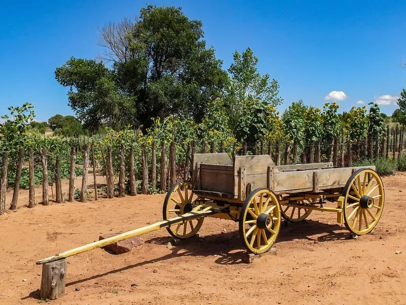
Burley Packwood, CC BY-SA 4.0 · licence(opens in a new tab) · source(opens in a new tab)
Nearby attractions
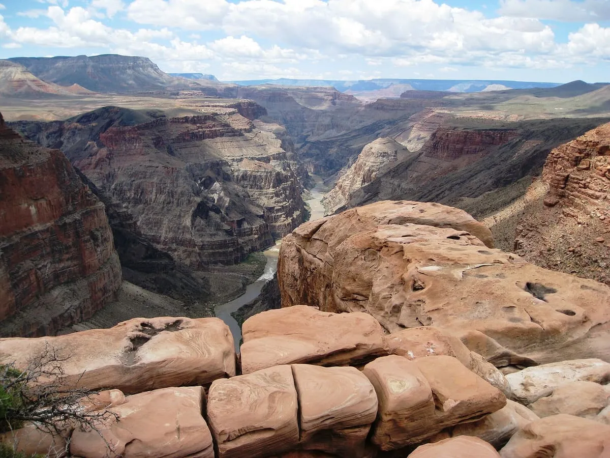
40 miles away
Uinkaret volcanic field
A field of monogenetic volcanoes on the Grand Canyon's north rim, whose lava flows repeatedly dammed the Colorado River.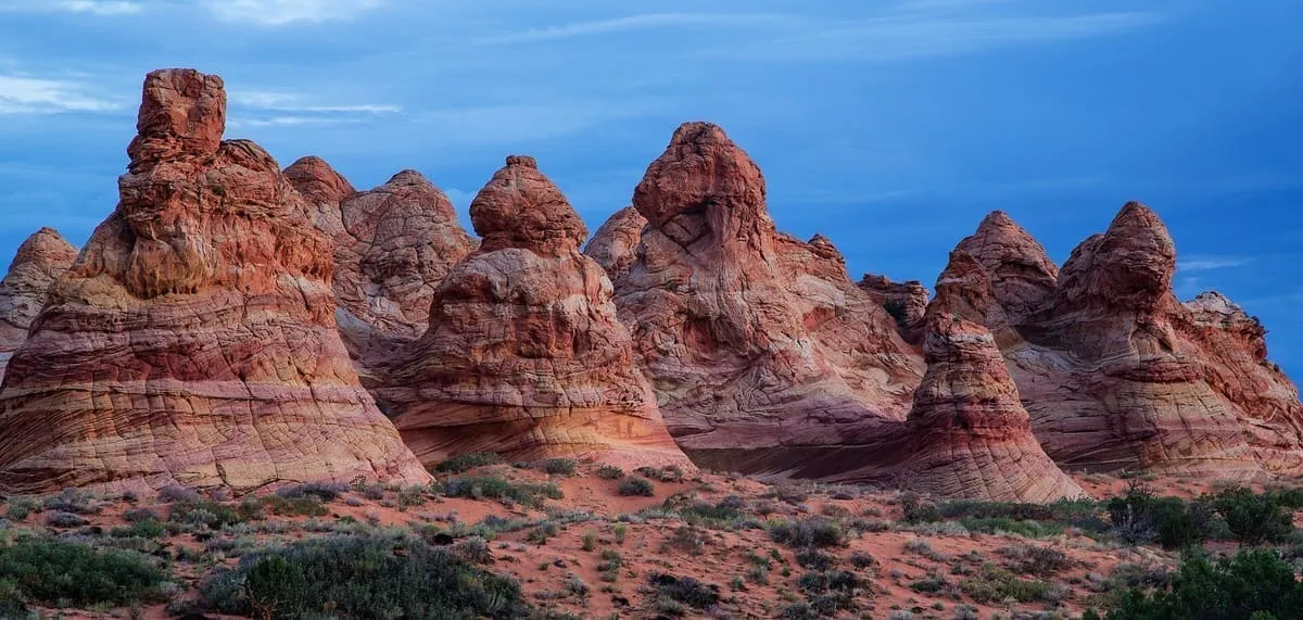
41 miles away
Coyote Buttes
A permit-only section of the Paria Canyon-Vermilion Cliffs Wilderness in Navajo Sandstone, containing the formation known as the Wave.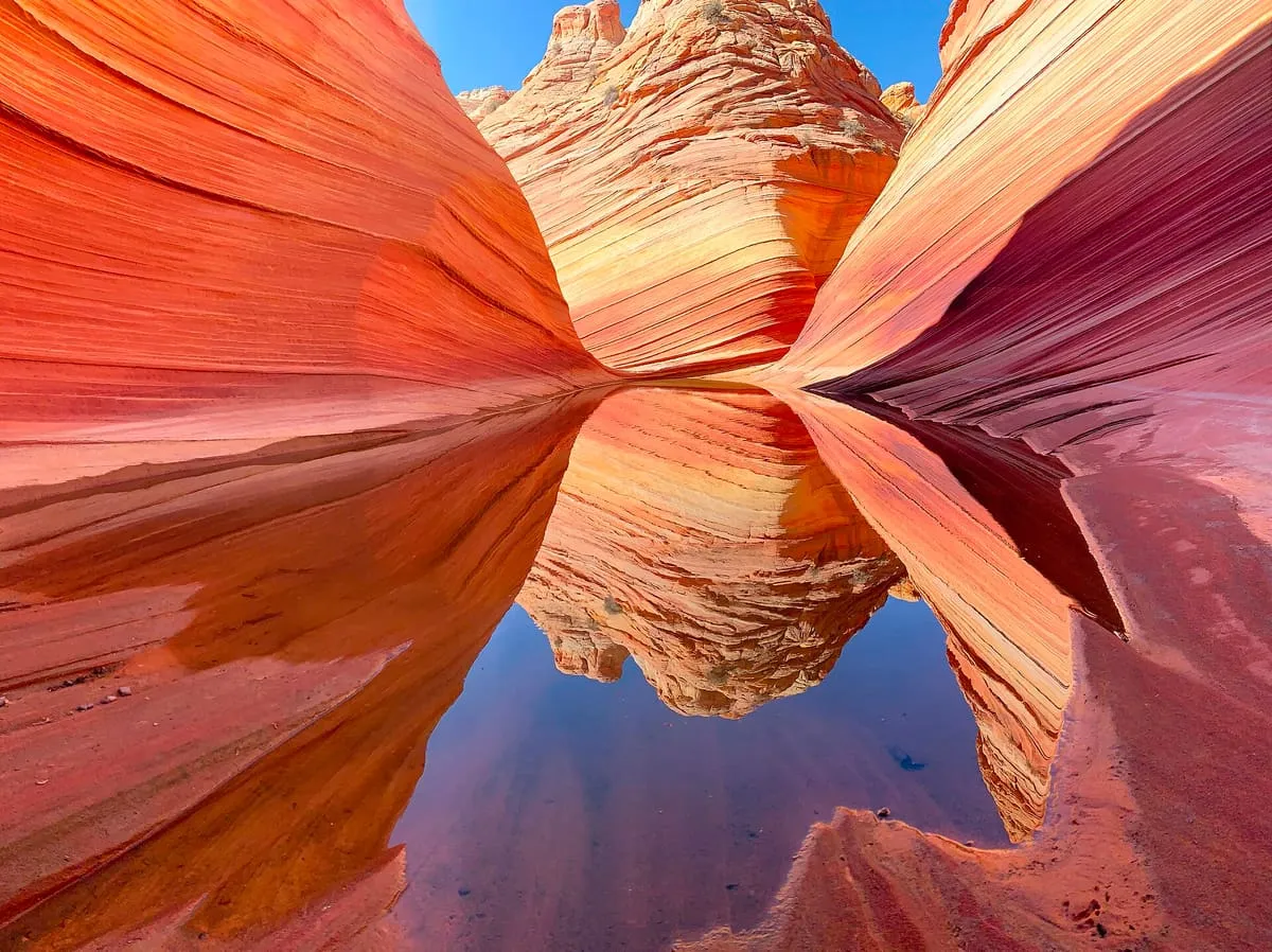
41 miles away
The Wave
A banded sandstone formation in the Coyote Buttes, reached only by permit lottery and a difficult hike.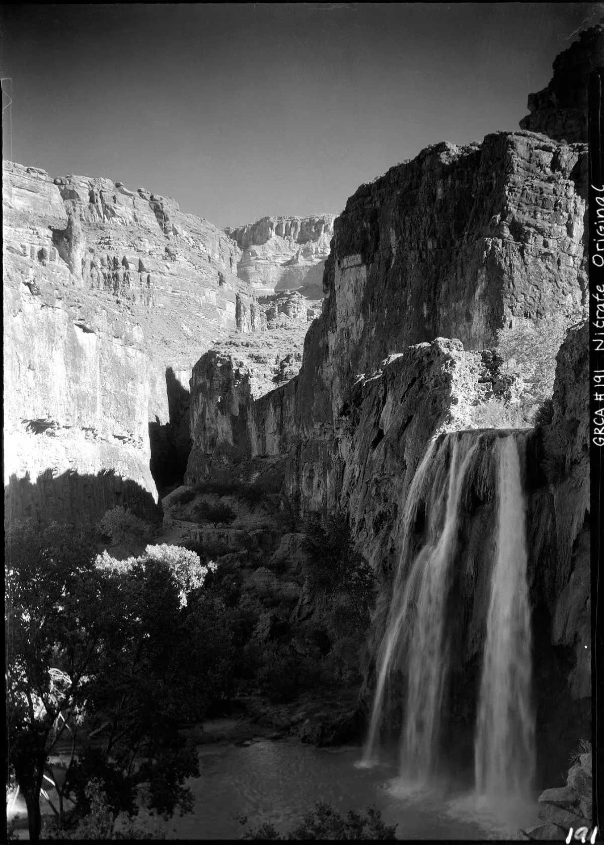
42 miles away
Havasu Falls
A waterfall on Havasu Creek in the Grand Canyon, lying within the tribal lands of the Havasupai people.
Facts and sources
Place
- Category
- National Monument
- Destination
- Fredonia
- County
- Mohave County
- State
- Arizona
- Designations
- International Dark Sky Park · National Register of Historic Places listed place
Visitation
- Annual visits
- 24,530 (2024)
- What is counted
- recreation visits
Ranking
- Overall score
- 39.9 / 100
- Visitation score
- 13.7
- Popularity score
- 31.8
- Significance score
- 86.0
- Confidence
- high
Visiting
- Official website
- nps.gov(opens in a new tab)
- Coordinates
- 36.8625, -112.7375
- Last verified
- 2026-08-12