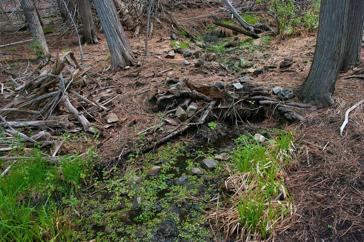
15 miles away
Sycamore Canyon
A 21-mile canyon below the Mogollon Rim west of Sedona, the second largest in the Arizona redrock country after Oak Creek Canyon.
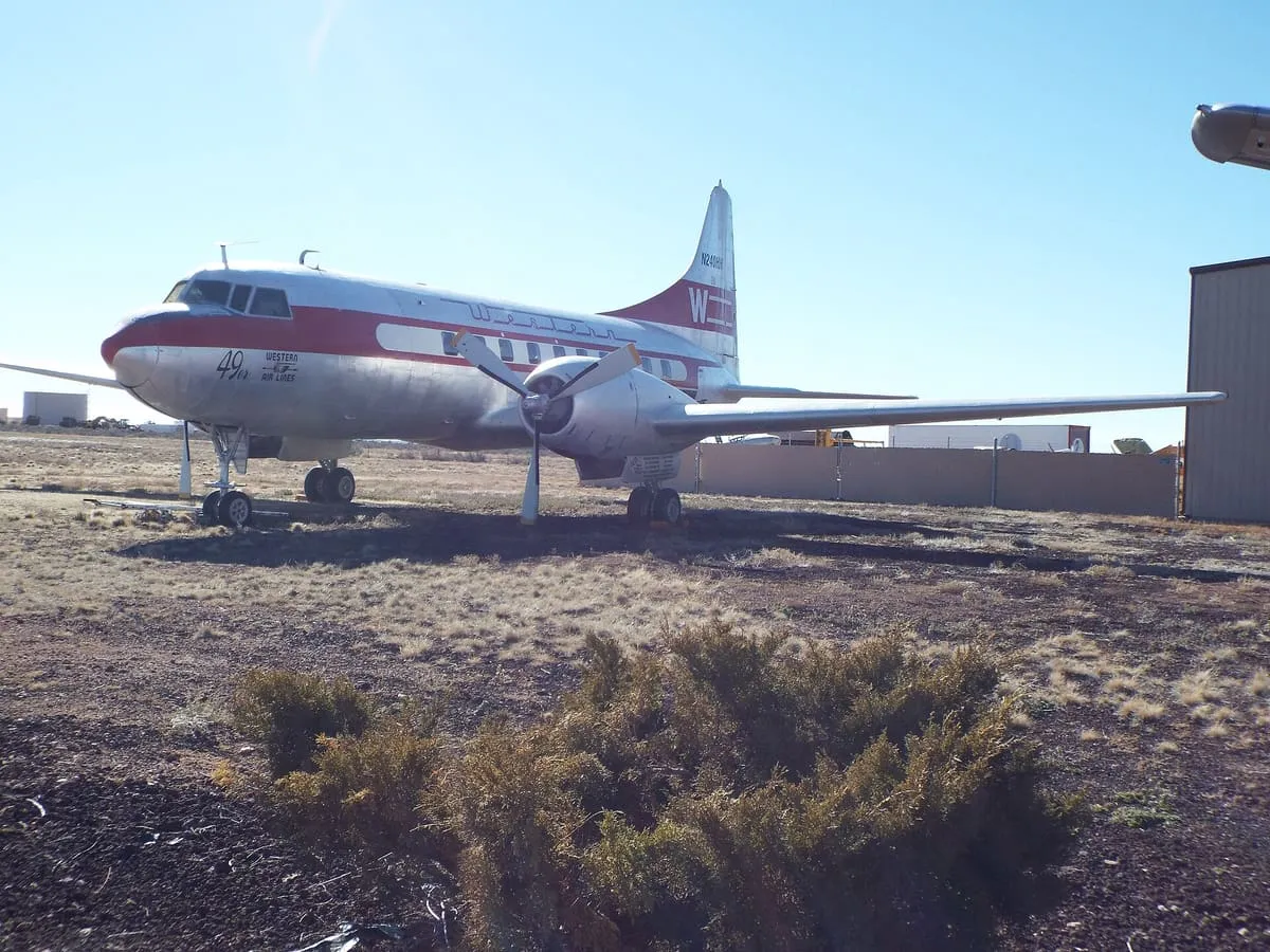
Planes of Fame Air Museum, in Williams, Arizona, is a branch of the Chino, California air museum, and most of its aircraft on display are flyable.
Planes of Fame Air Museum is a museum in Williams, Coconino County, Arizona, a branch of the air museum headquartered in Chino, California. Most of the aircraft on display are flyable.
Planes of Fame Air Museum is a museum near Williams, in Coconino County. It is one of the museums in this database, and appears in the statewide ranking of Arizona attractions.
No official visitor count is published for Planes of Fame Air Museum, so its score rests on public interest and tourism significance, and is capped below the level a measured attraction can reach. That is why the low confidence above is not higher. The weighting is explained in full on the methodology page, and every axis is broken out under Facts and sources at the foot of this page.
Note on the data: No official visitor count is published for this attraction.
Record last verified 2026-08-12.
15 miles away
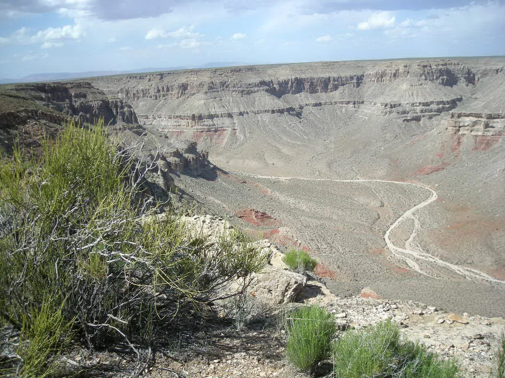
19 miles away

20 miles away
23 miles away
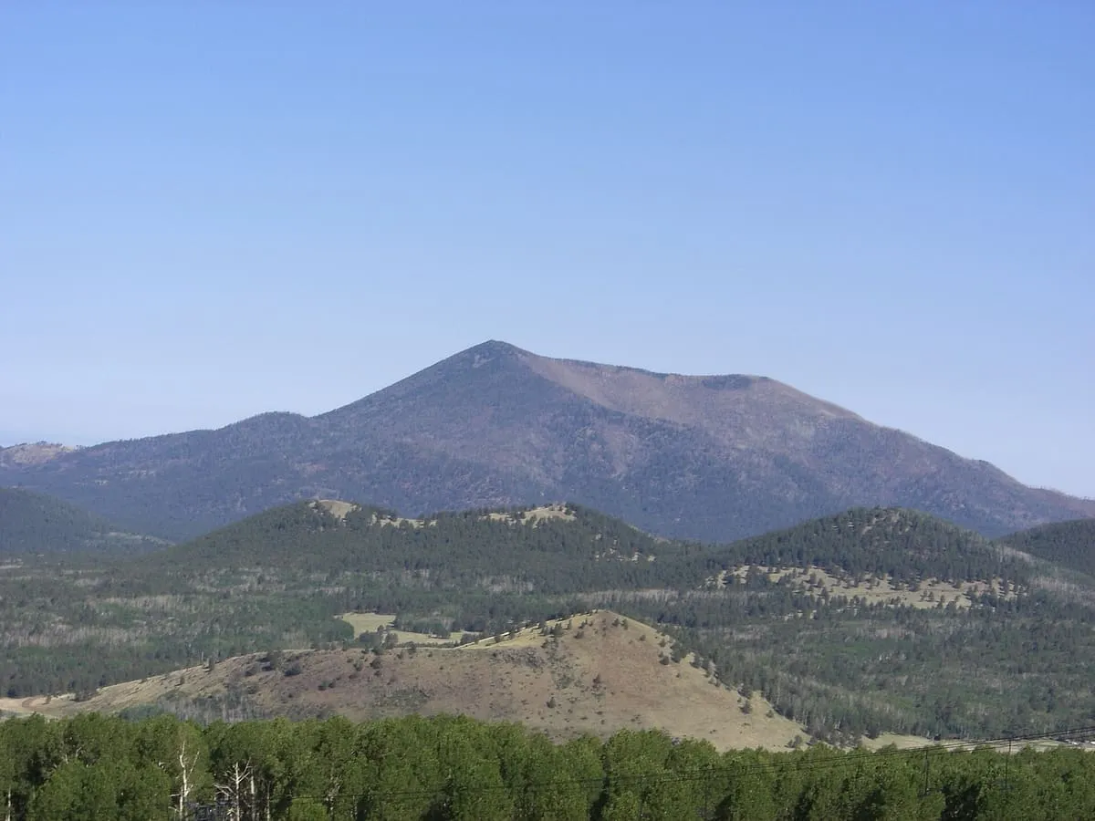
23 miles away
26 miles away